California Travel 2021 (2) - Photos from the Air
Changde Wu 2021-12-31
California Travel 2021 (2) - Photos from the Air
Taking photos under the airplane is always fun part of travel. There was not a single photo acceptable on my trip from Boston to LA since it was raining and clouds all the way. When we left Los Angeles for Boston, Los Angeles was raining. However, there were some windows of cleay sky during the jurney making the following photos be possible be taken.
These air photos are presented in the sequence of W-E air travel process.
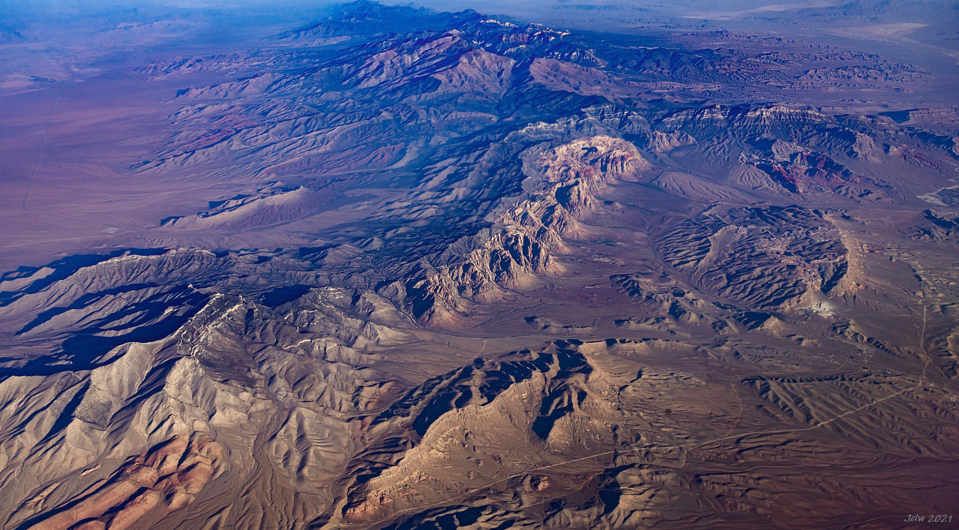
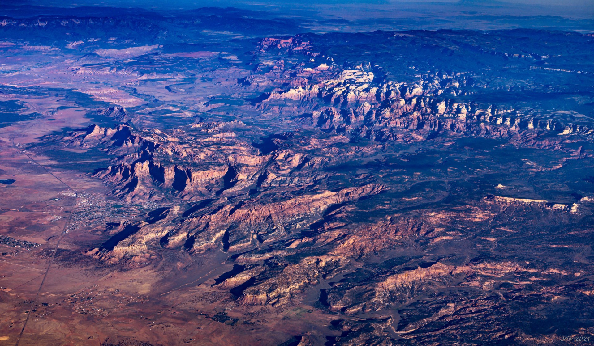
P1 Read Rock Canyon West side, NV
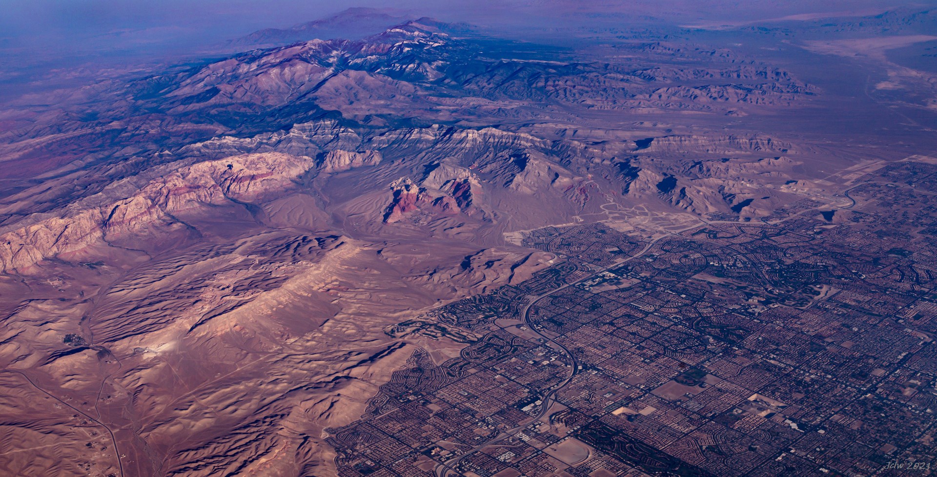
P2 Read Rock Canyon and western Las Vegas, NV
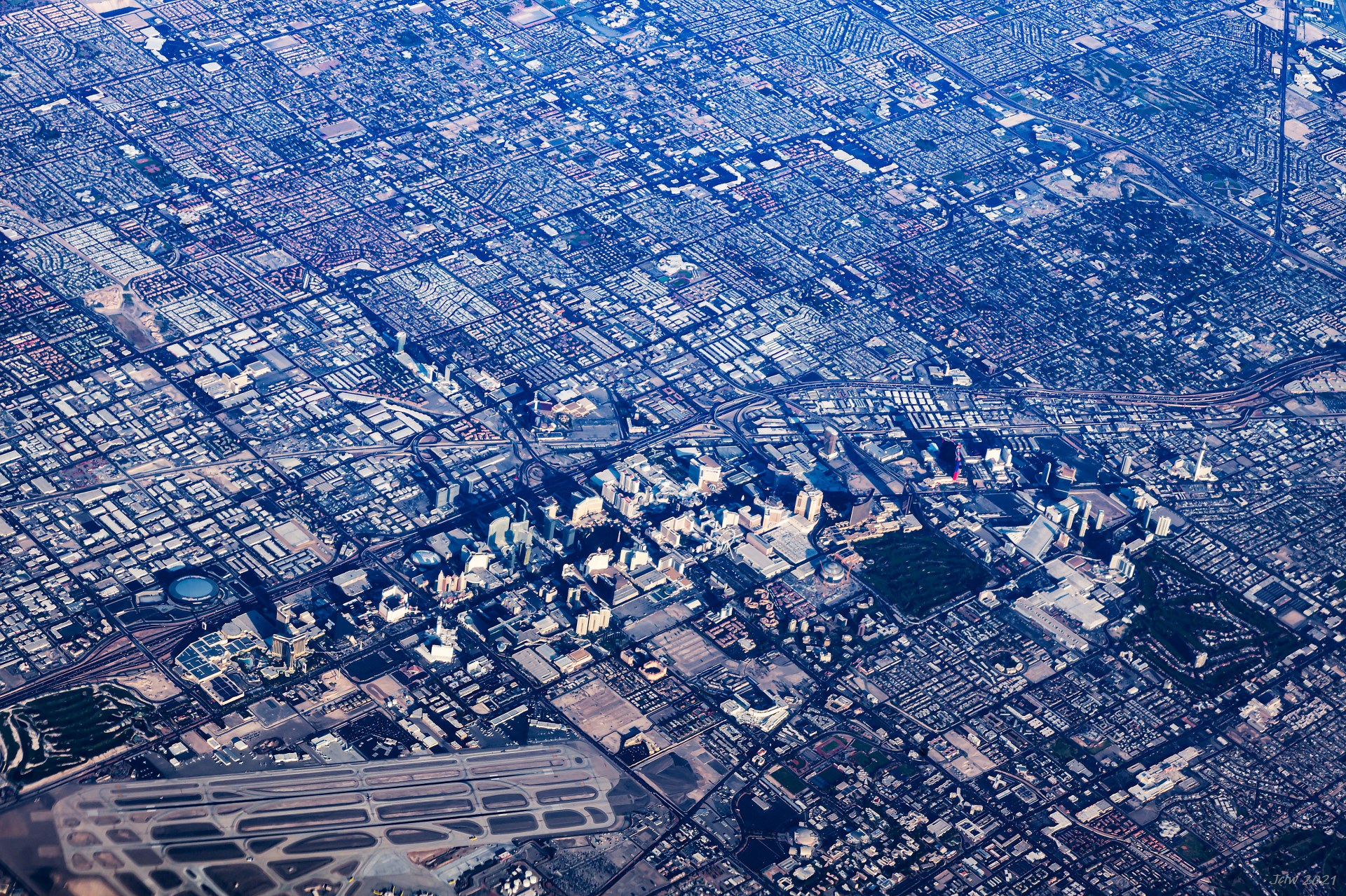
P3 The strip zone and Airport of Las Vegas, NV
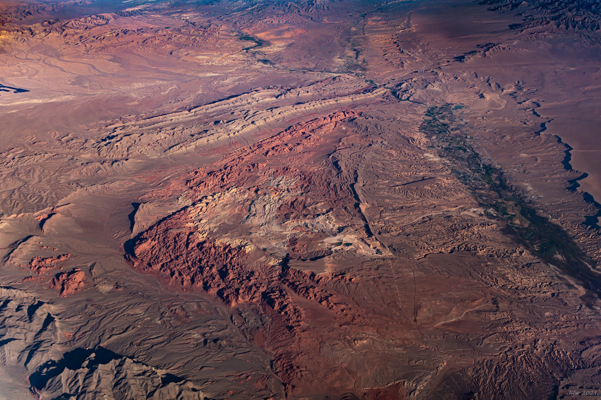
P4 Valley of Fire State Park, NV
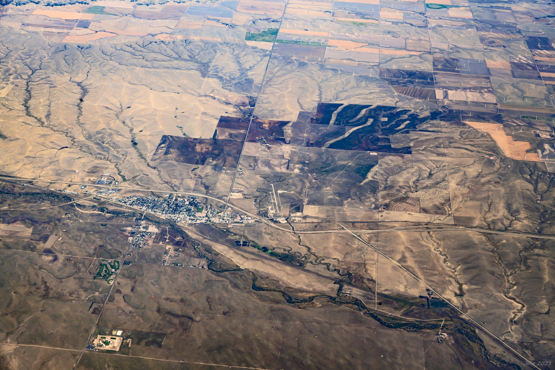
P5 Colorado City, AZ
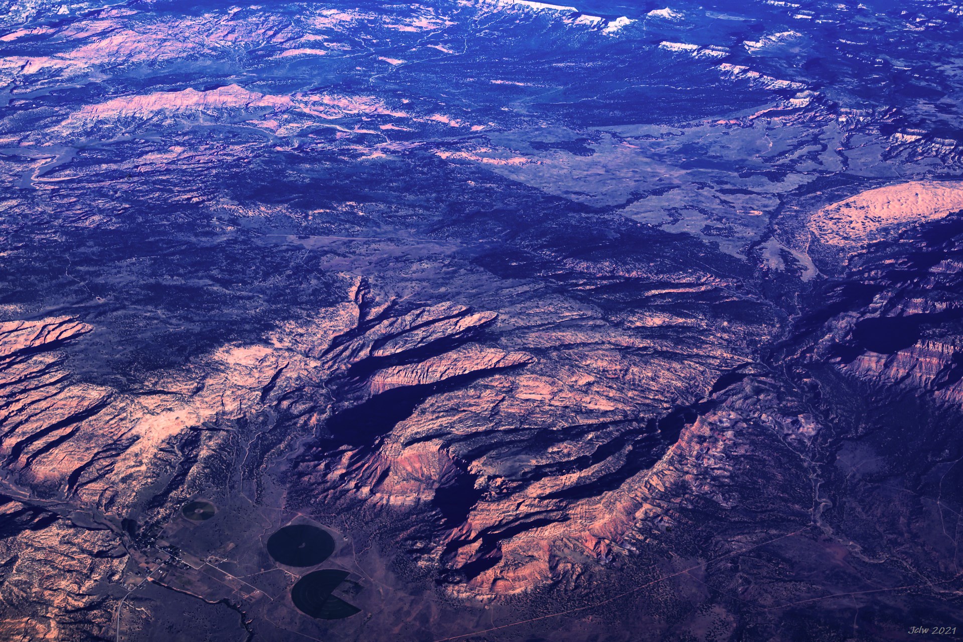
P6 Fredonia/Kaibab, AZ
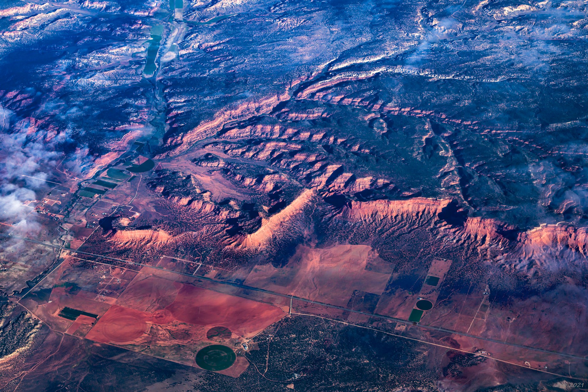
P7 Johnston Canyon, Kanab, UT (UT Hwy 89 run across Left-Right)
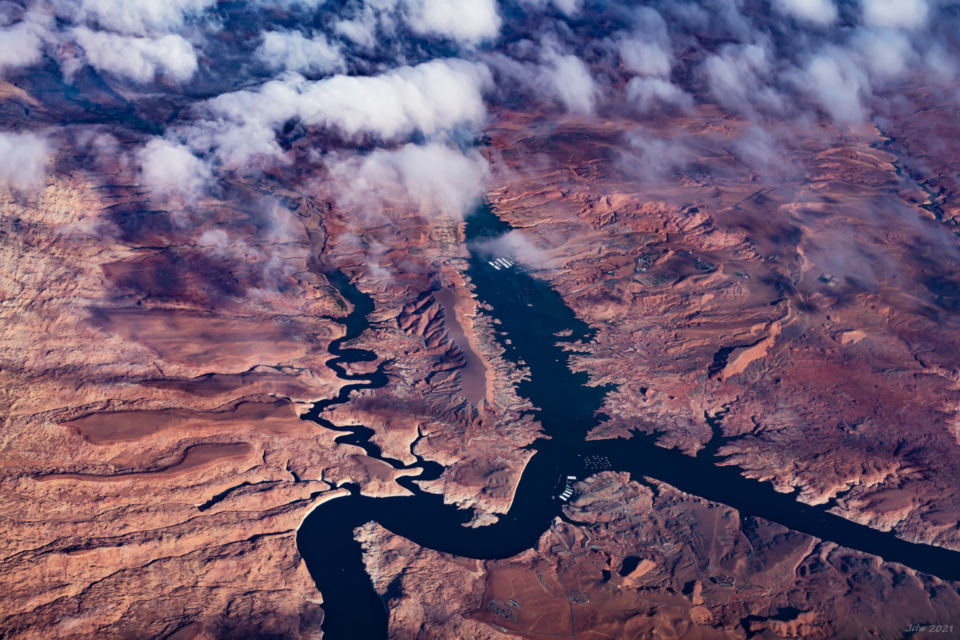
P8 Glen river at Halls Crossing, UT
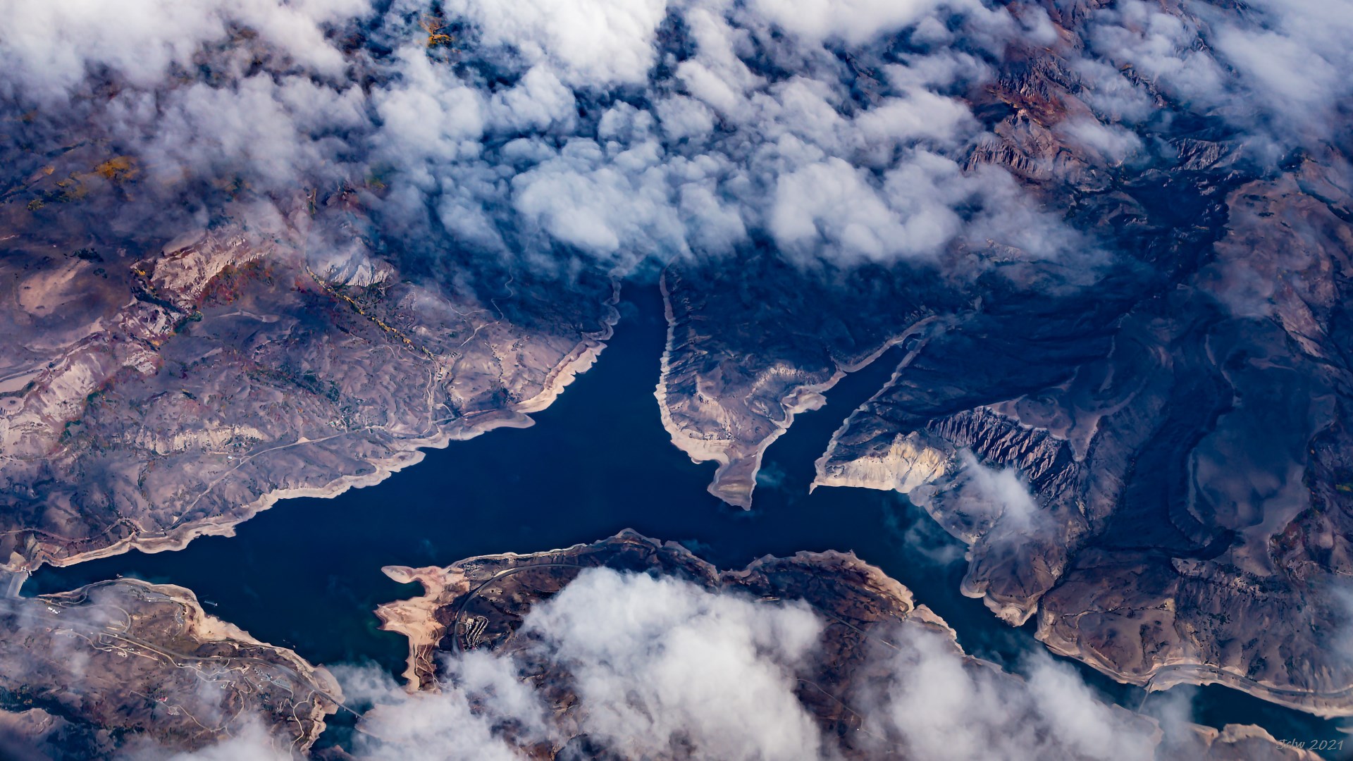
P9 Gunnison River at Sapinero, Colorado
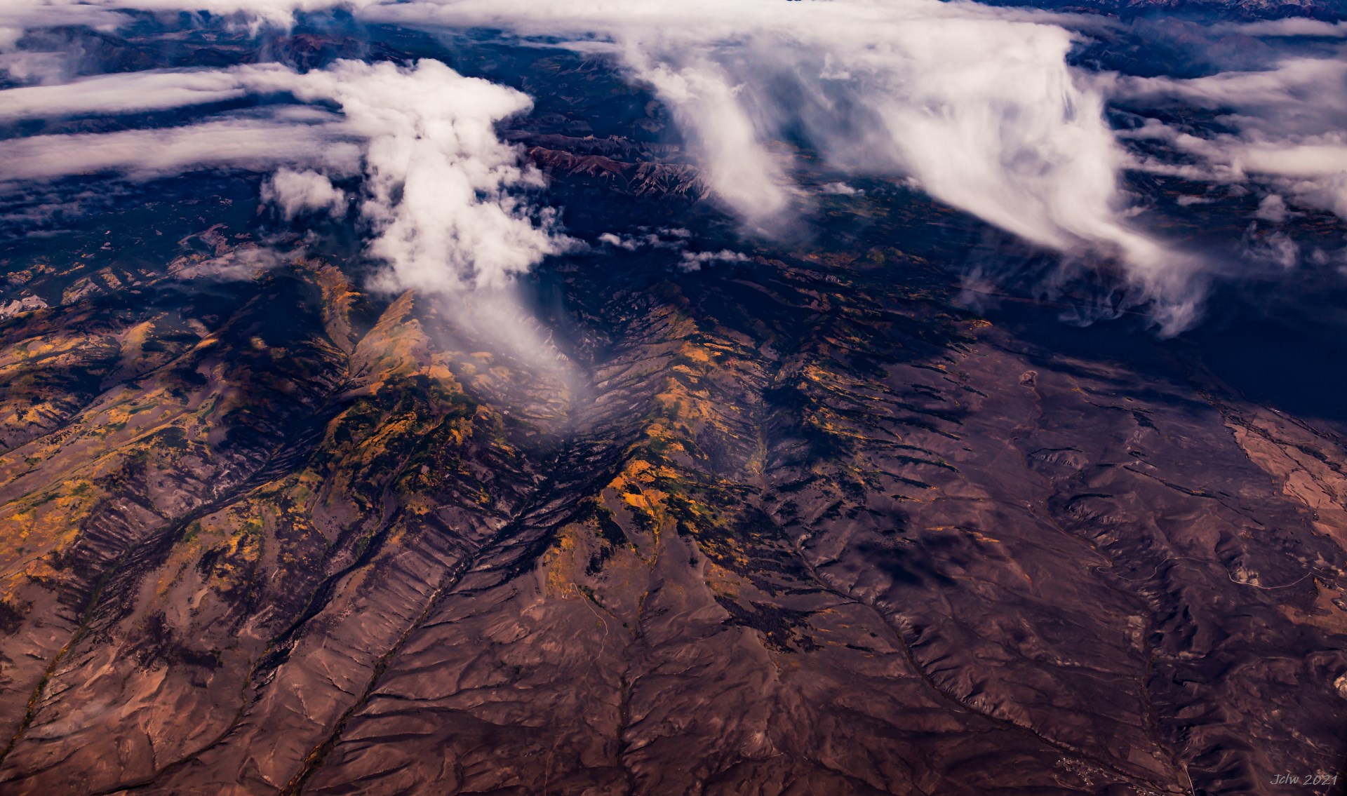
P10 Yellow Foliage of Colorado
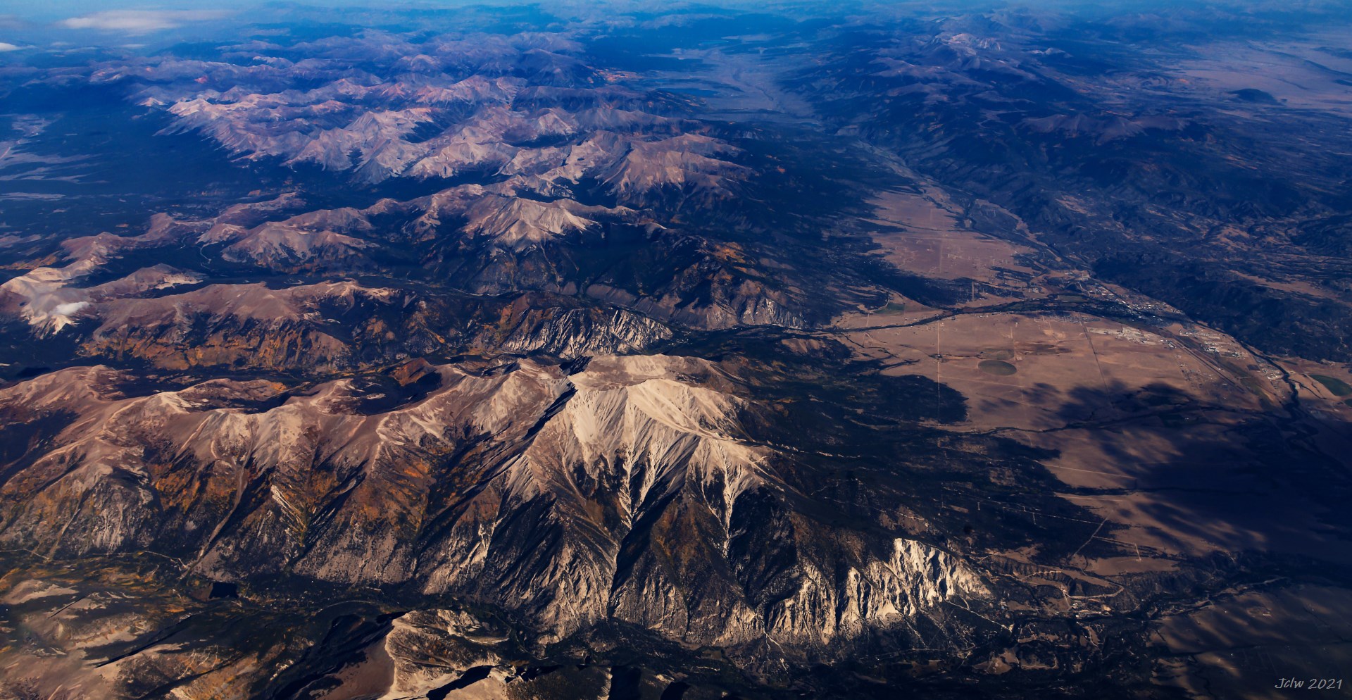
P11 Buena Vista CO; Arkansas River runs along the valley
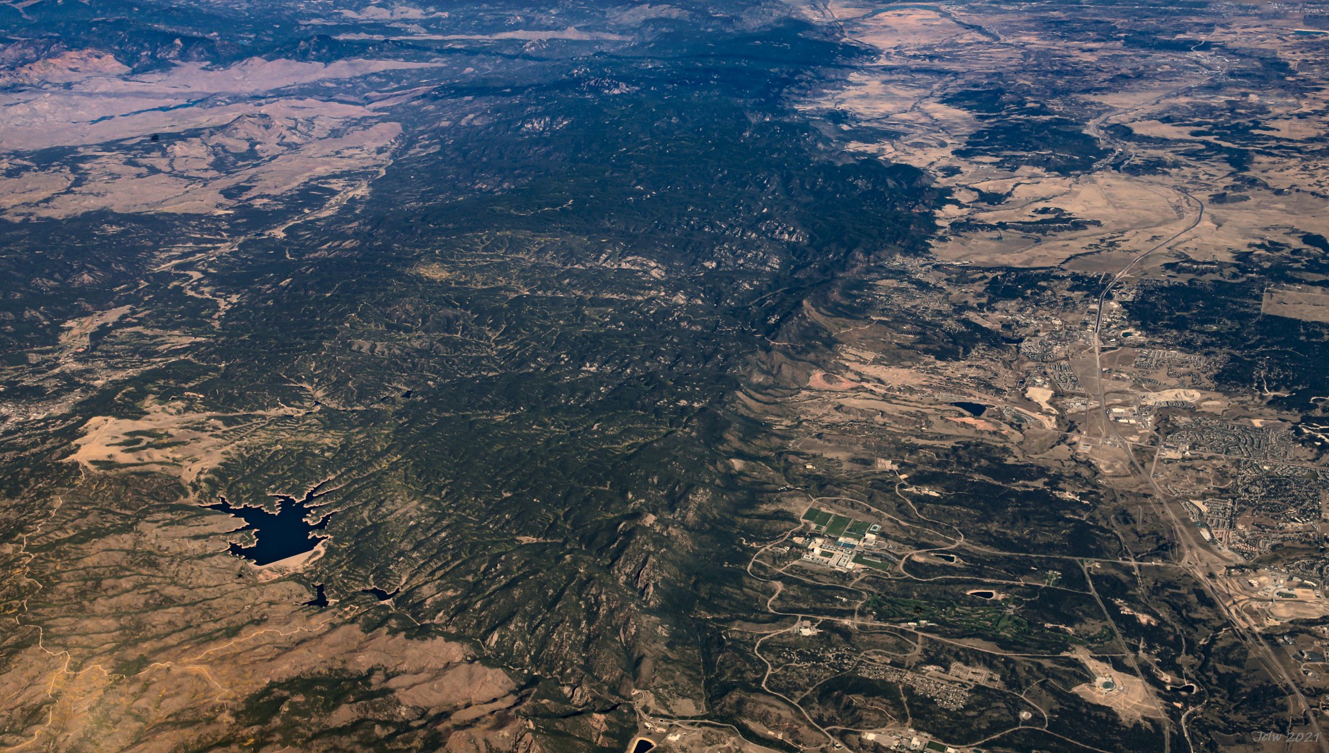
P12 Rampant Resevoir on the left, Airforce Academy to the east of the Resevoir(with everal large green lands), Colorado Spring, CO
P13 Limon, CO
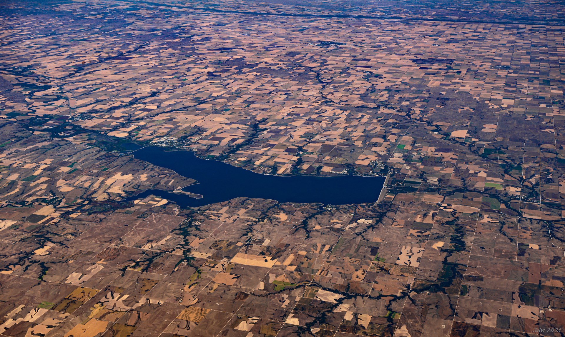
P14 Harlan County Lake, Nebraska
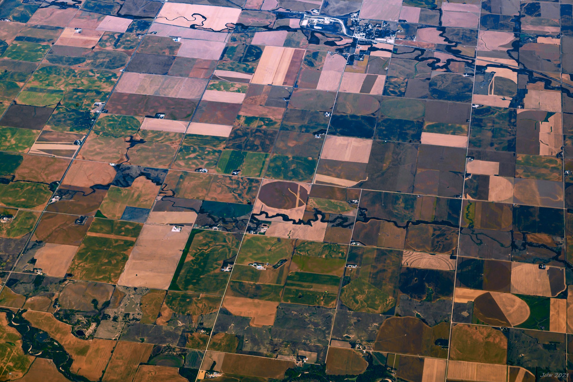
P15 Colorful country side of the Midwest; On the top is Village of Carleton, NE and Big sandy creek ; no name for the creek on lower part;
P16 Nebraska City in the middle
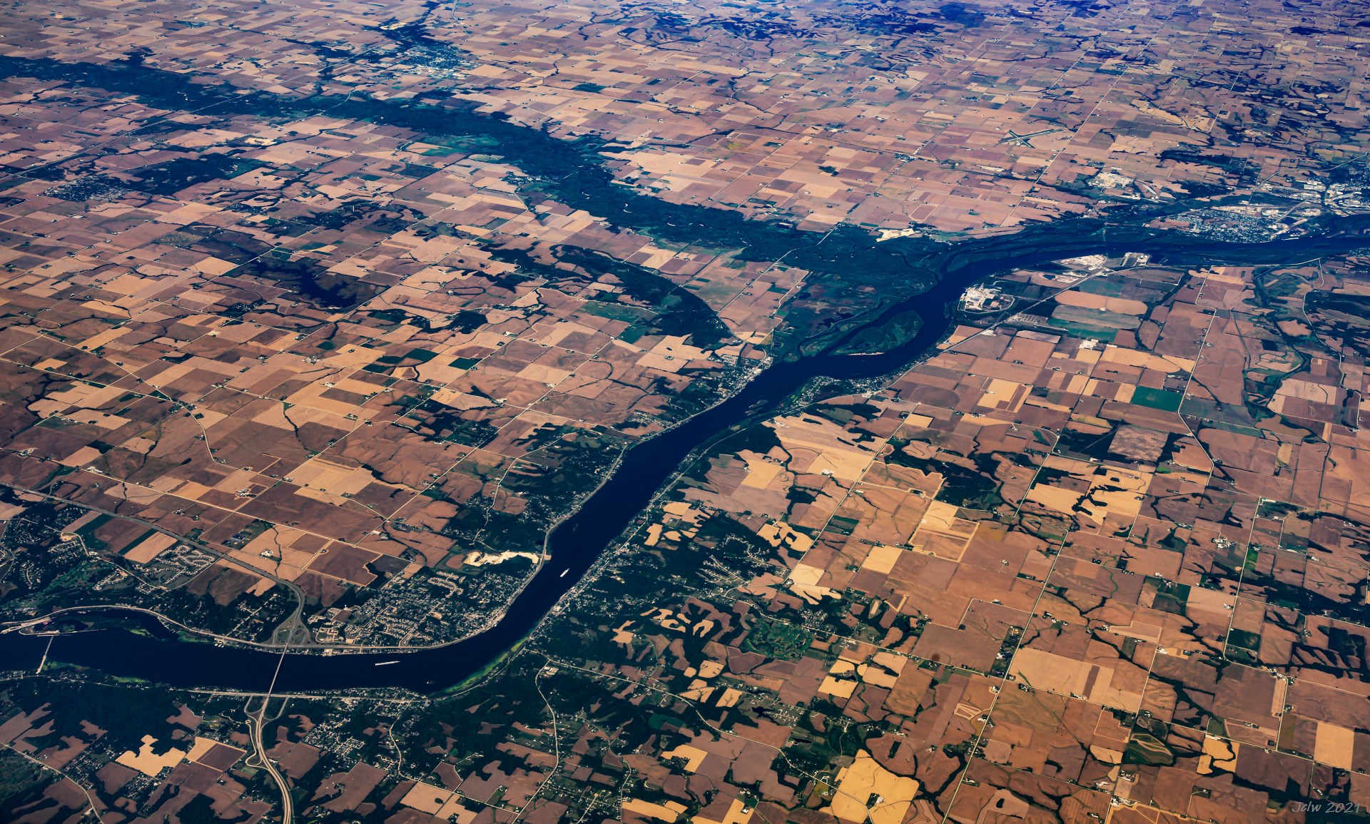
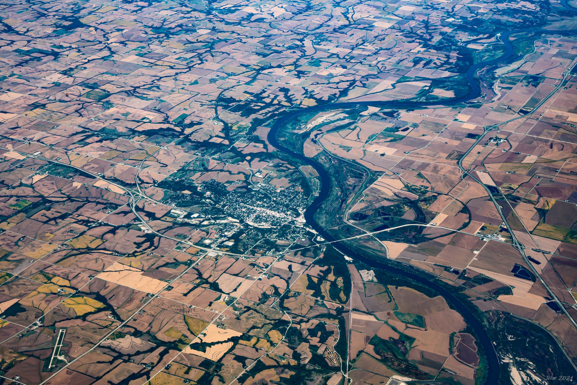
P17 Junction of Mississippi river with Wapsipinicon River on Iowa/Illinois border; I-74 cross the river at Davenport IA/Molin IL
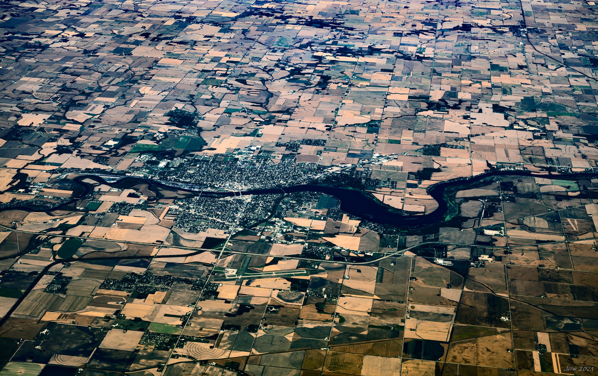
P18 Sterling/Rock Falls, IL
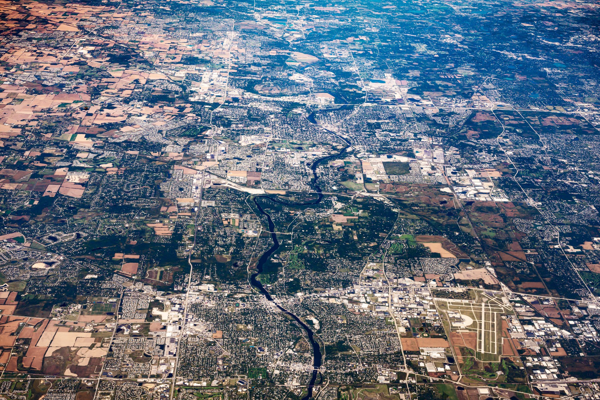
P19 St. Charles, IL; The airport is DuPage Airport
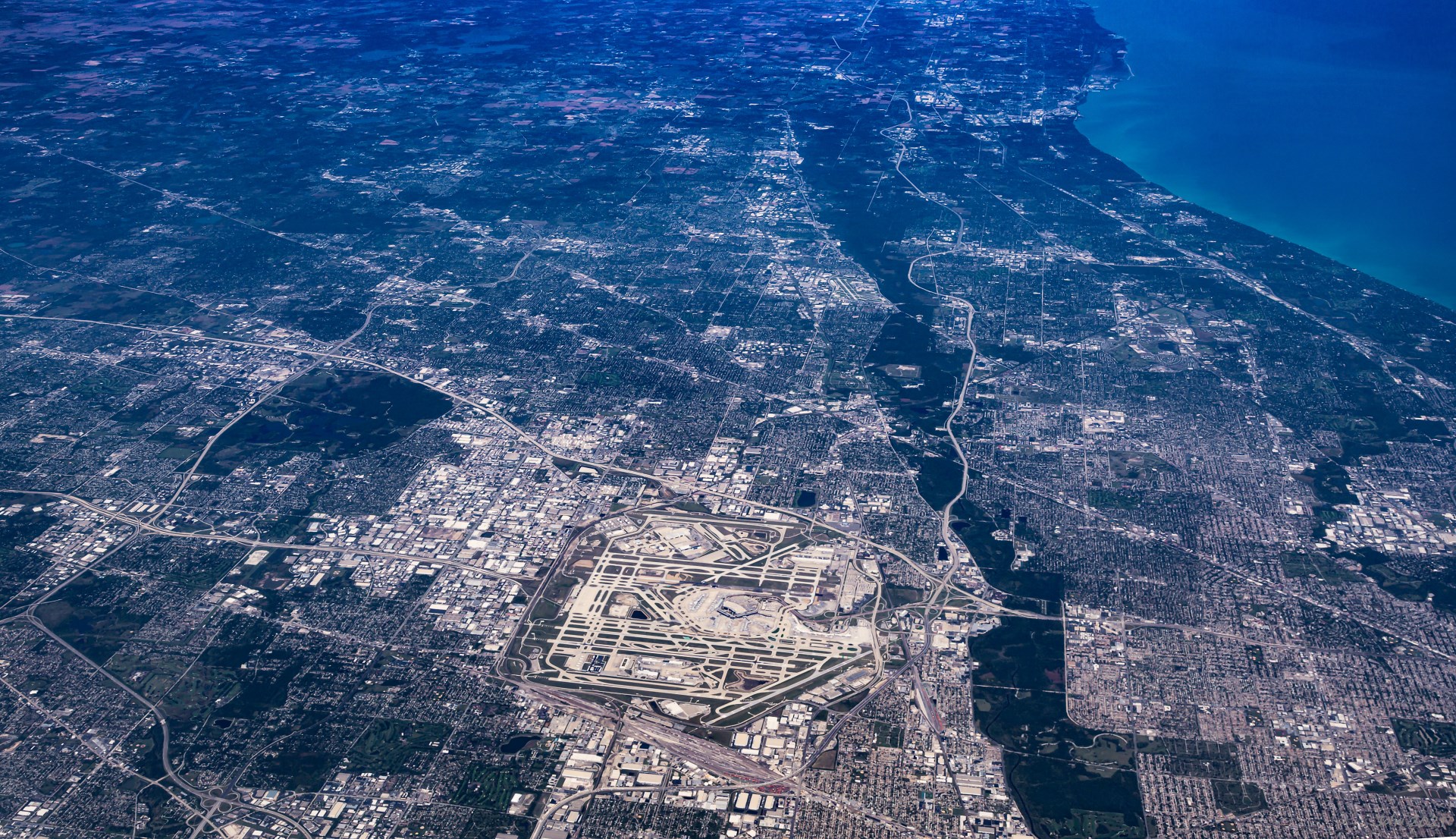
P20 Chicago O'Hare Airport
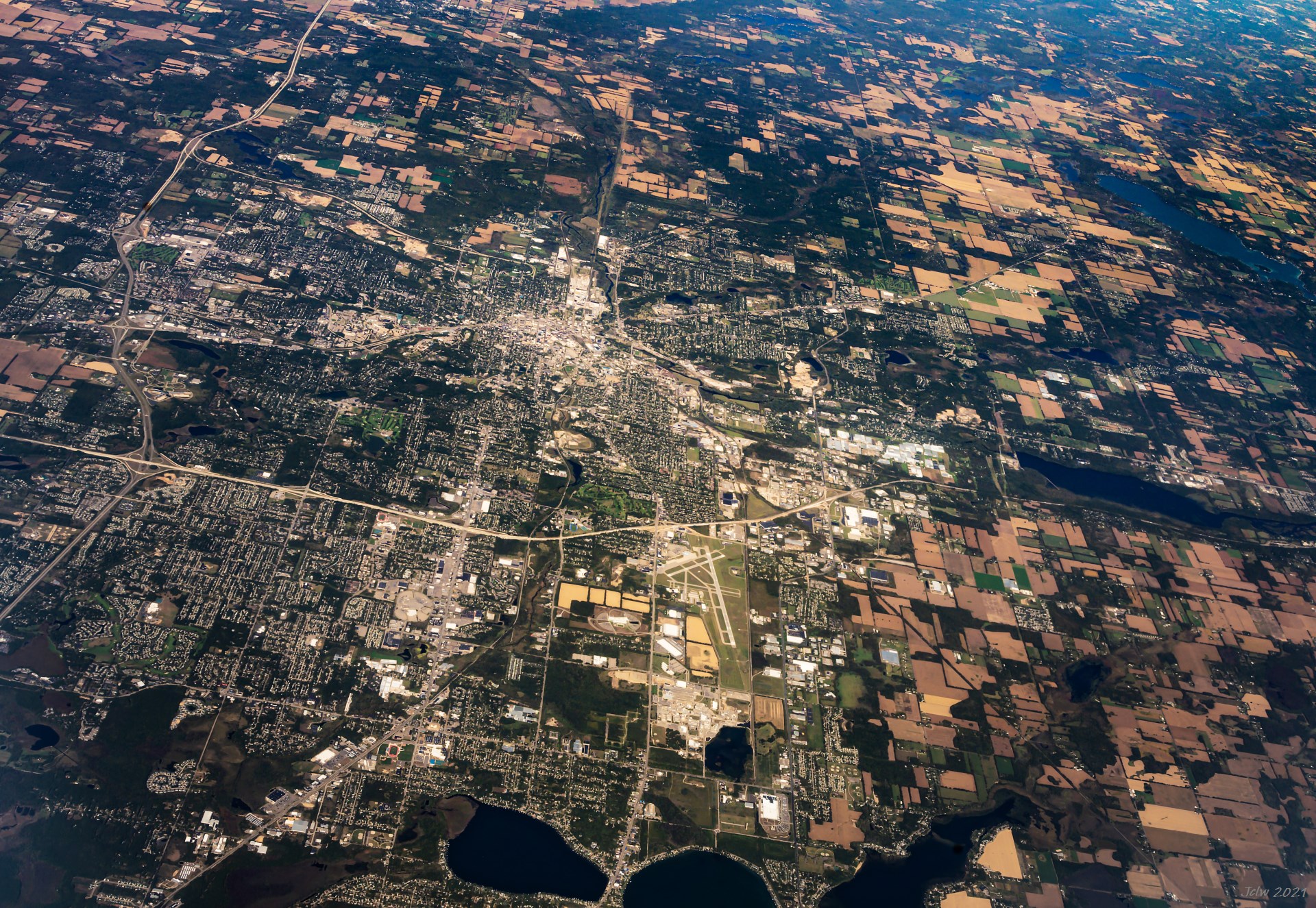
P21 Kalamazoo, MI
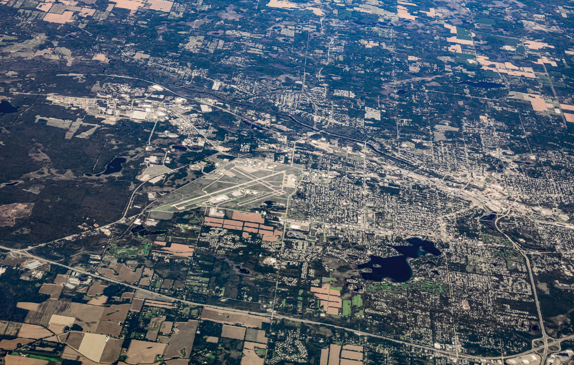
P22 Battle Creek, MI
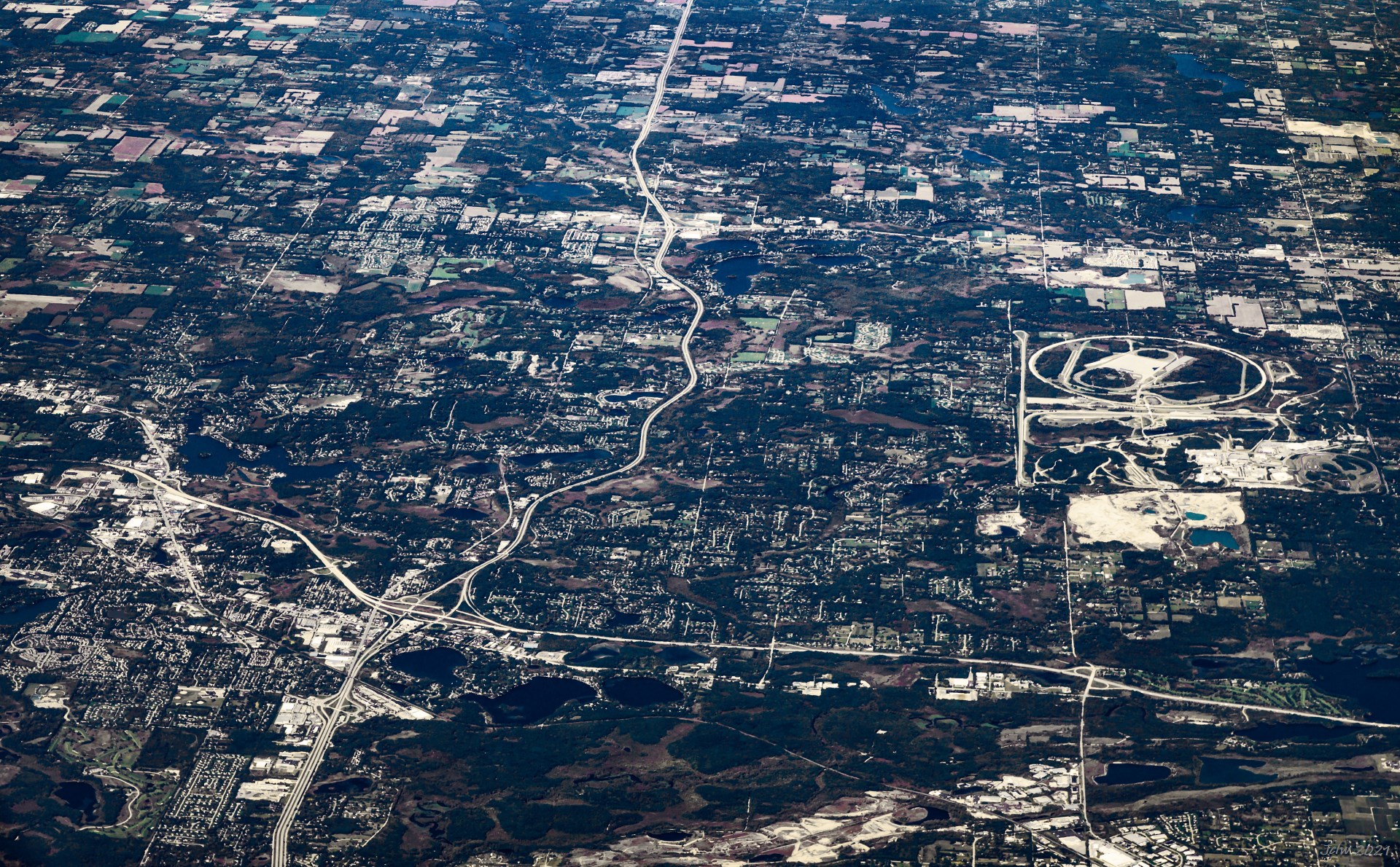
P23 Brighton MI on Hwy crossing, GM Black Lake on the middle of right edge
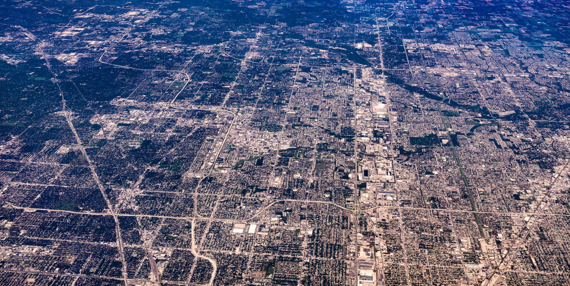
P24 Warren MI, I-696 running E-W in lower part, bright N-S zone on the right bound by Mound Street and Rt. 53
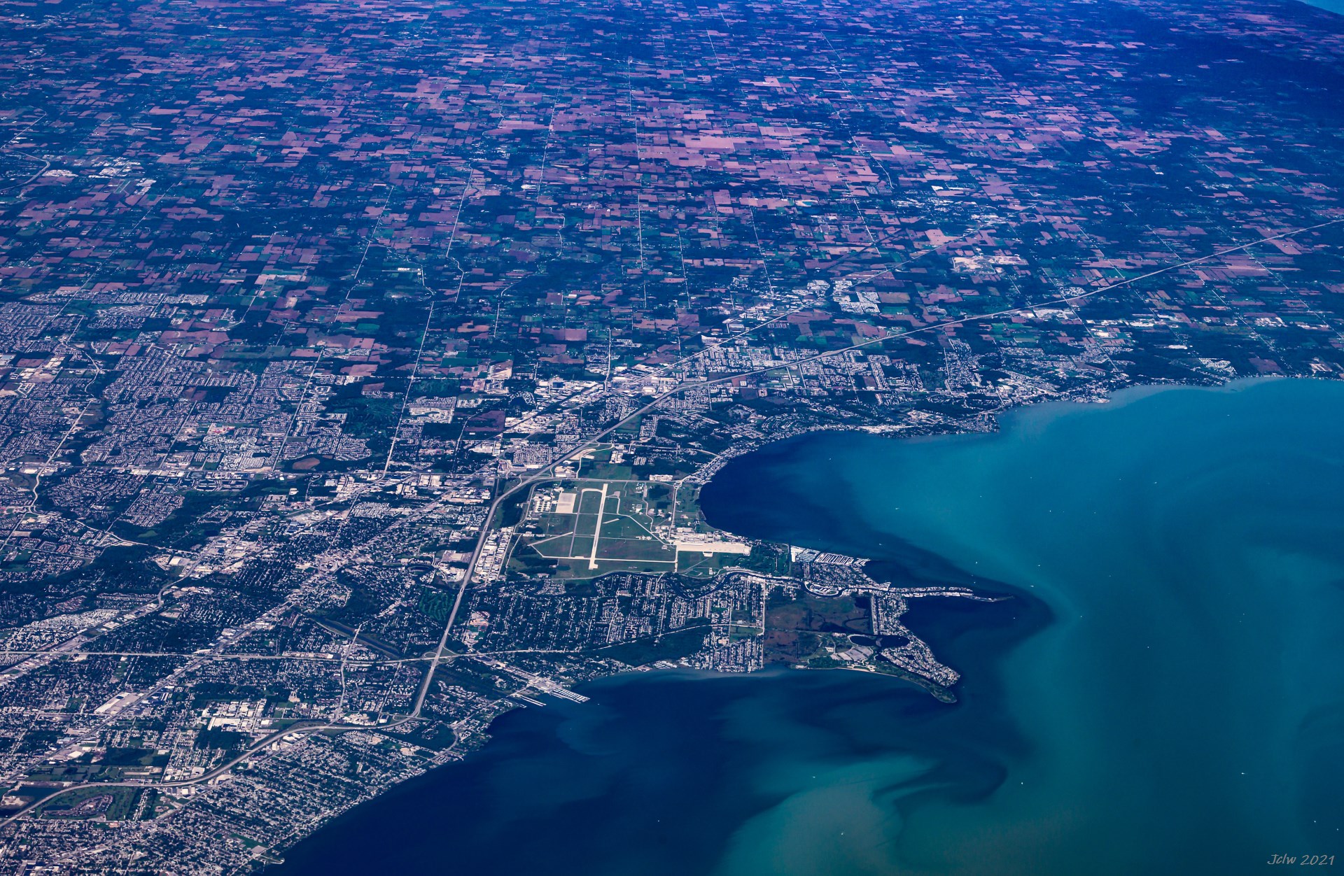
P25 Harrison Charter Township, MI
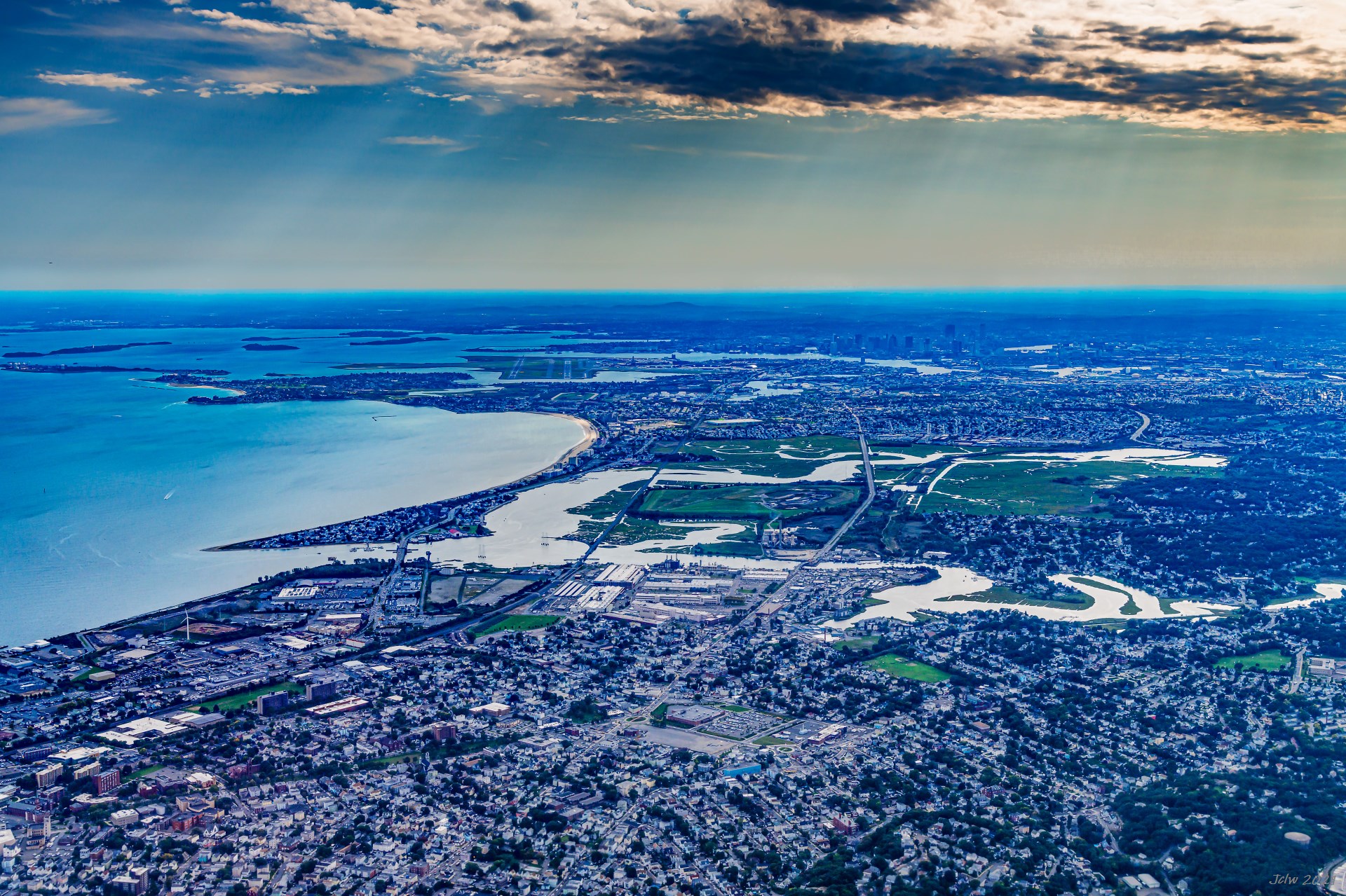
P26 Downtown Boston and Logan Airport viewed from North
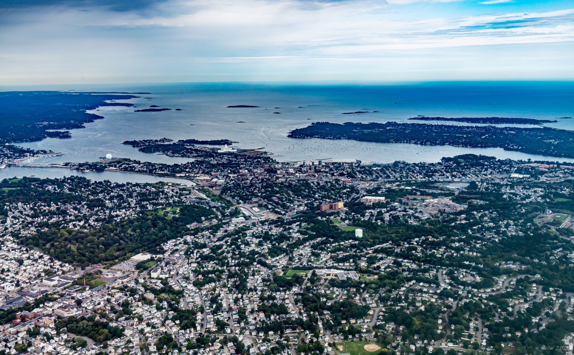
P27 Essex Bridge (left-middle), Salem MA (mid-front) and Marblehead MA (right front)
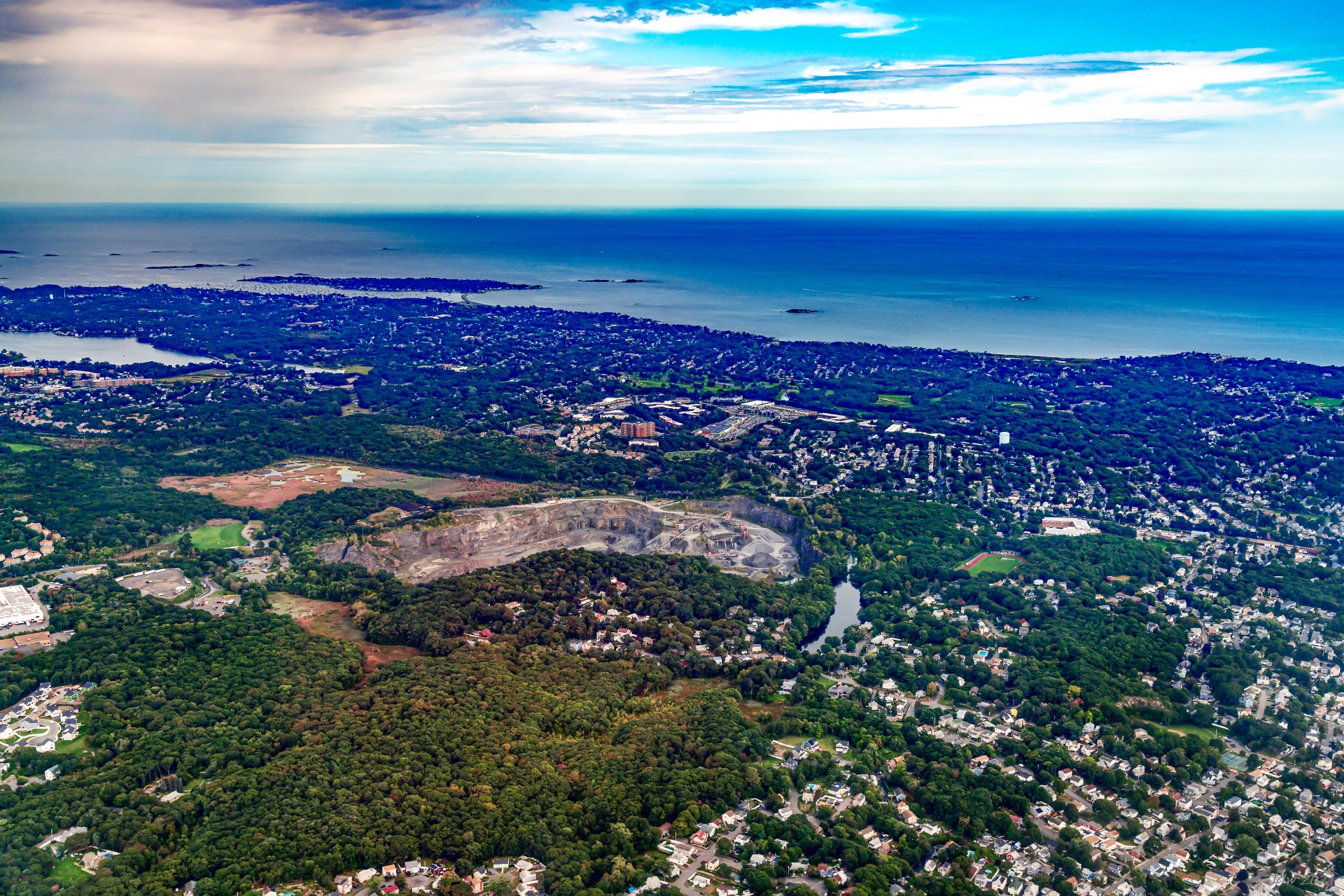
P28 Aggregate Industries Quary, Swampscott, MA 01907
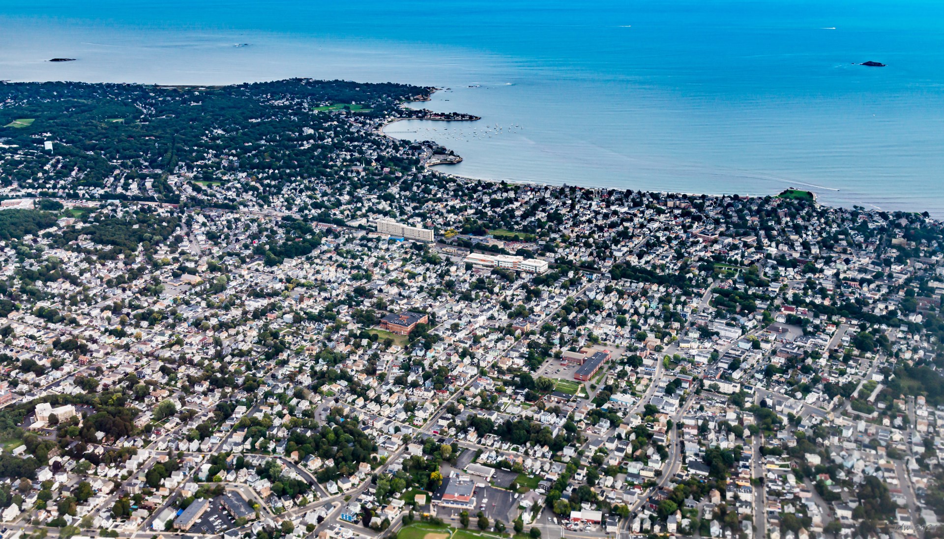
P29 East Lynn, Lynn MA; Galloupes Point on left front, Red Tock Park on the right front
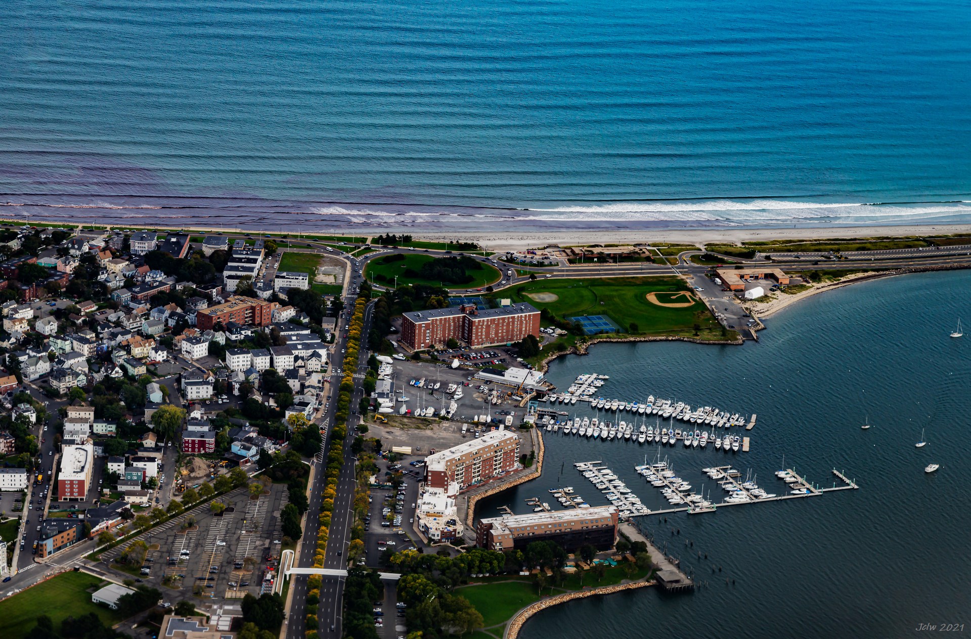
P30 Nahant Beach and Lynnway(vertical roads in the middle), Lynn, MA
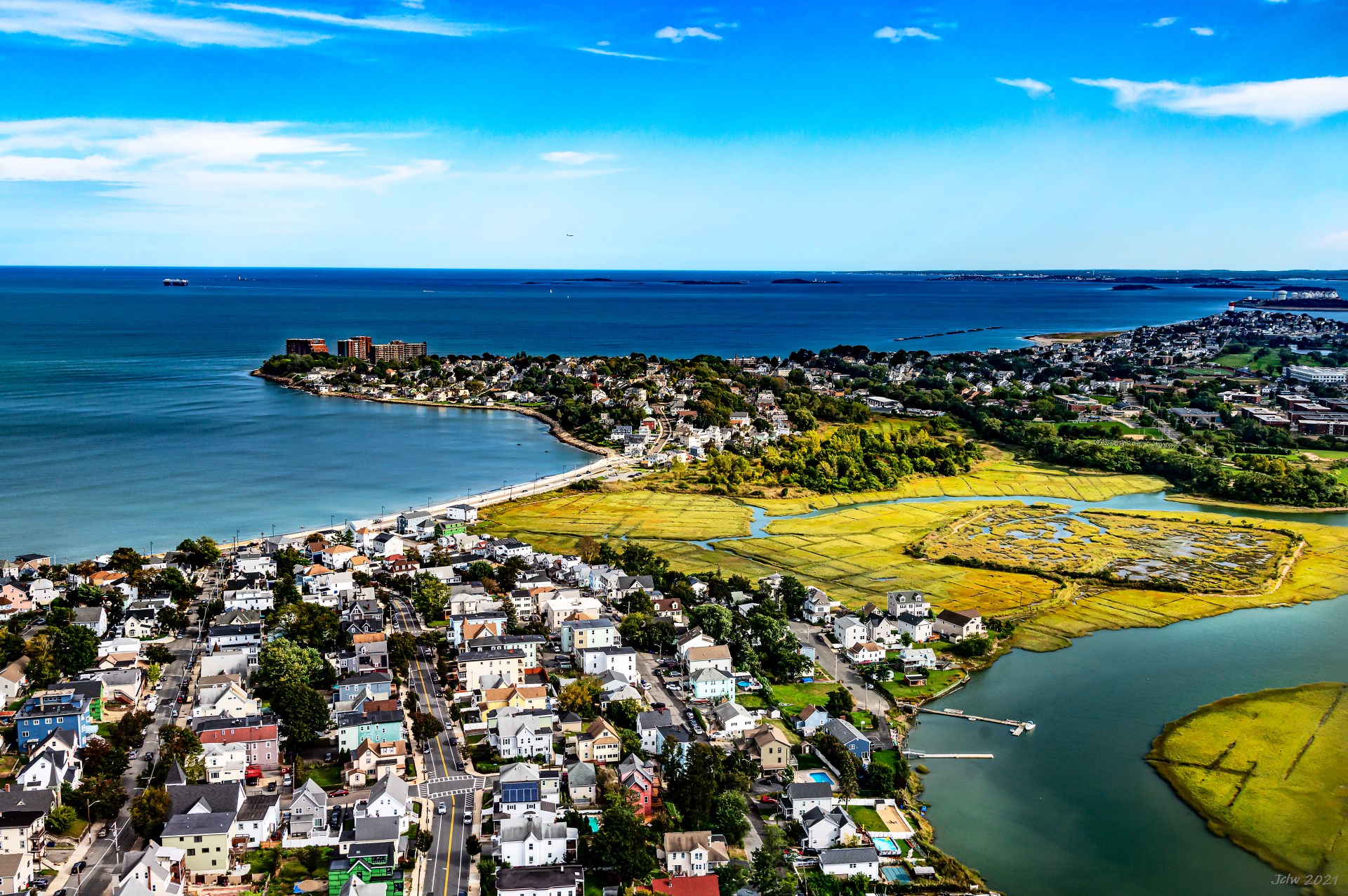
P31 Belle Isle Marsh in the middle
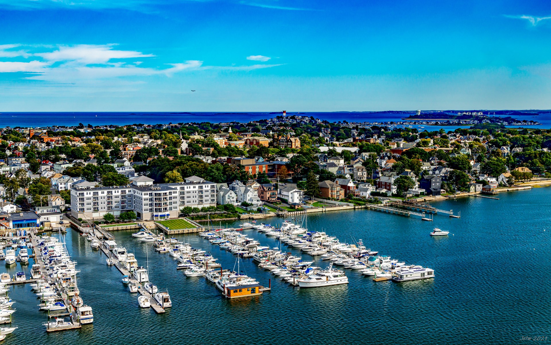
P32 Winthrop and Deer Island
California Travel 2021 (3) - Wild Lifes