Chiricahua National Monument is in a sky island arising from the desert.
About 27 million years ago, a violet volcano eruption spewed hot ashes over an area of about 1200 square miles.
These ashes landed in ground and formed rhyolite rocks. In the park, one will see the pinnacle landscape from these rock formation.
When we visited this park, snow from in previous night covered the whole park, most trails were not passable.
We only visited the area in Faraway Ranch, Visitor Center, Organ Pipe Formation, Sea Captain, part of Echo canyon,
Massai point. The trail to the Sugarloaf mountain was covered by thick snow. I have managed to the middle of the mountain before gave up.
Chiricahua National Monument is amazing, was even prettier after snow.
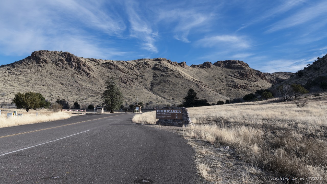
P1 The park entrance
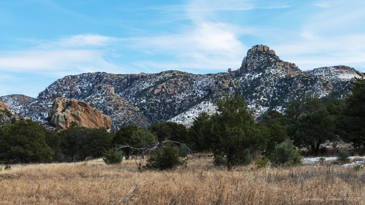
P2 The mountain behind the Faraway Ranch
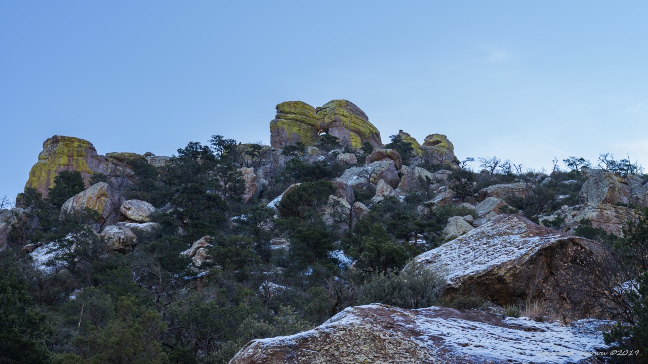
P3 The window in the top of the mountain
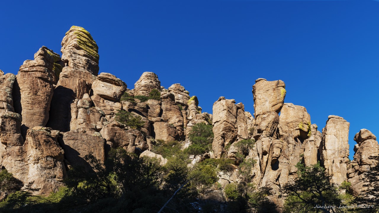
P4 Pinnacles at Organ Pipe Formation
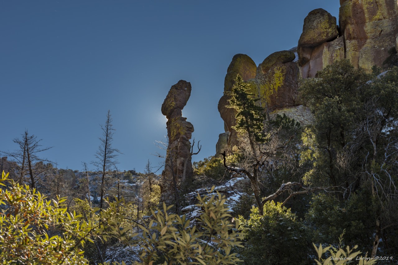
P5 A balanced rock around Organ Pipe Formation
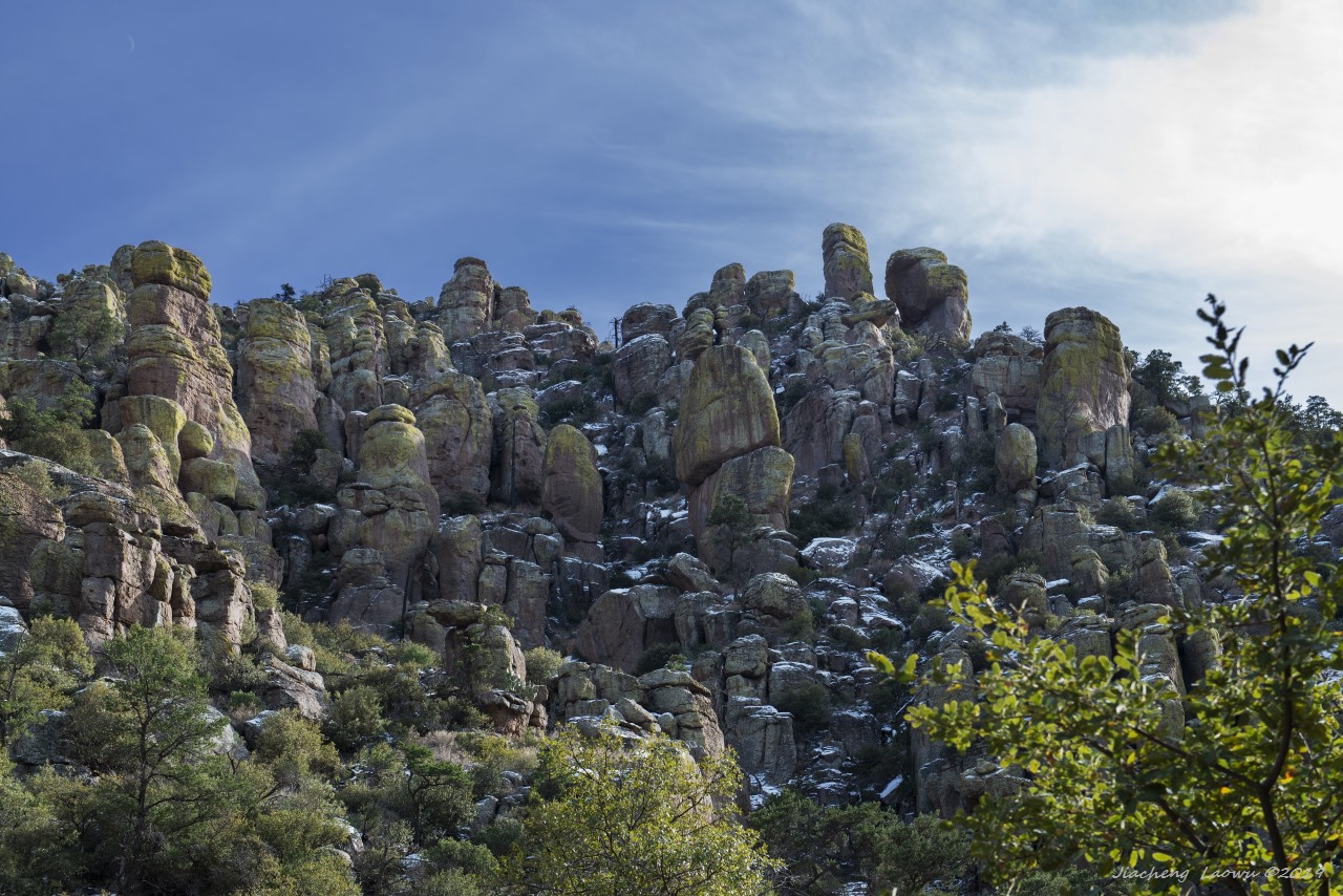
P6 Pinnacles around Organ Pipe Formation
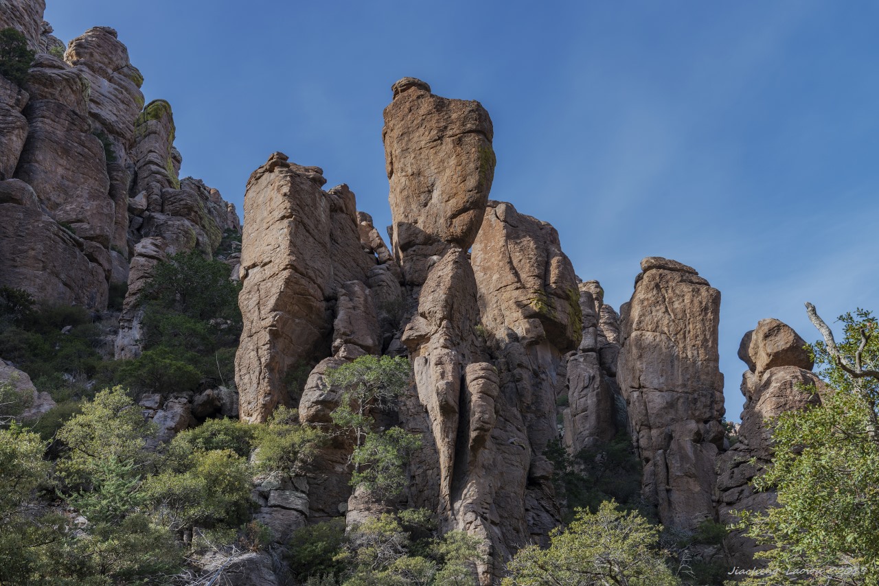
P7 Pinnacles around Organ Pipe Formation 2
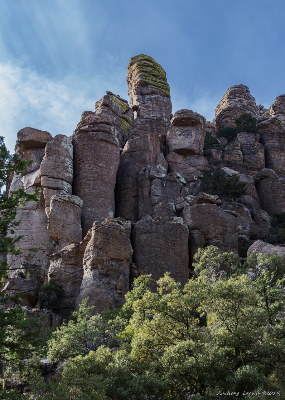
P8 Organ Pipes
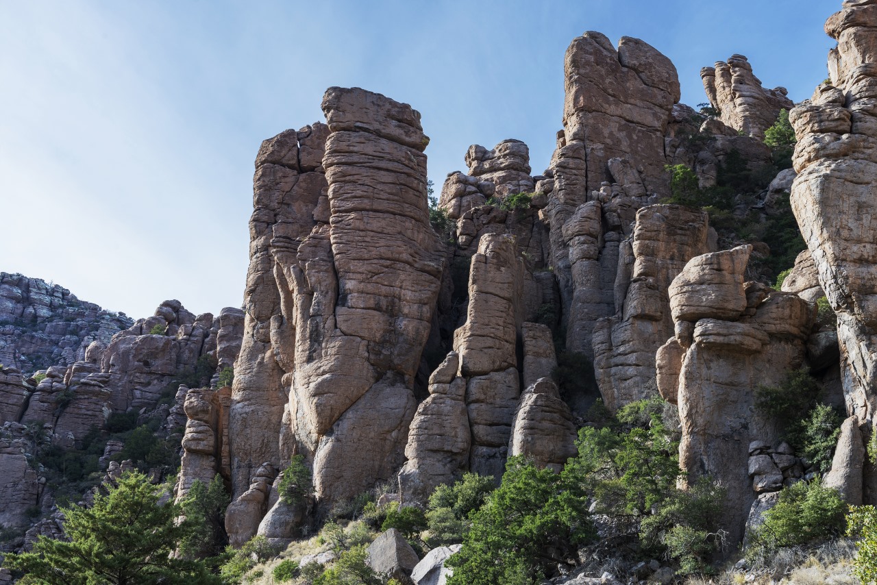
P9 Pinnacles around Organ Pipe Formation 3
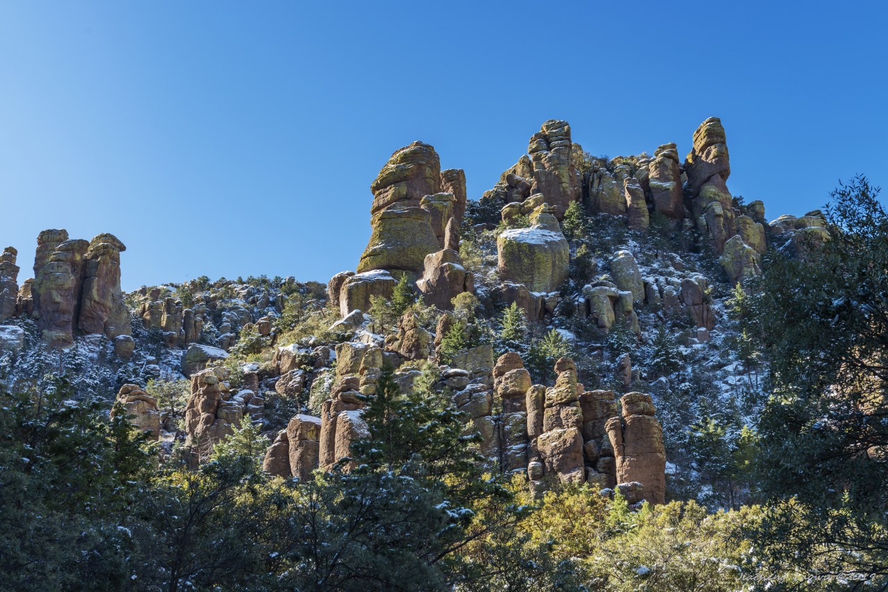
P10 Pinnacles around Organ Pipe Formation 4
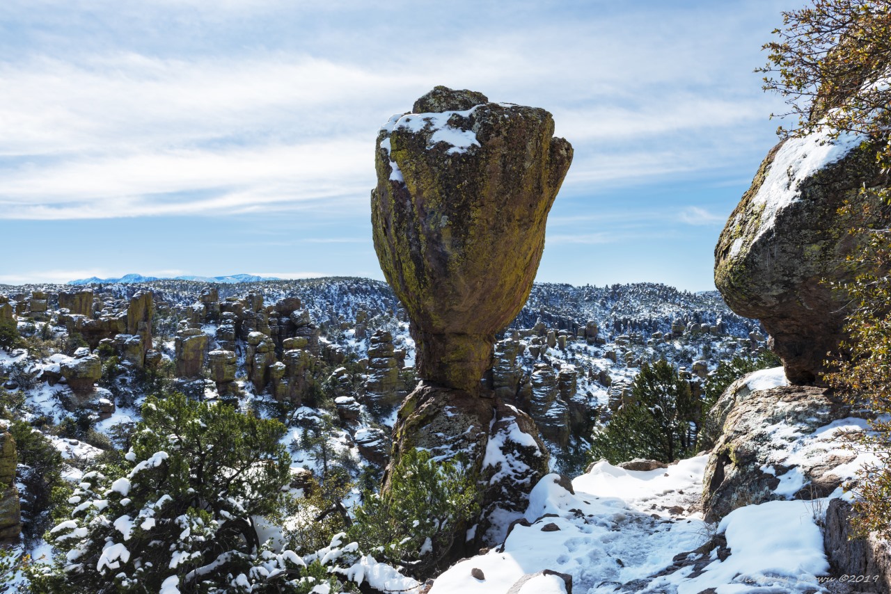
P11 A balanced rock from Echo canyon
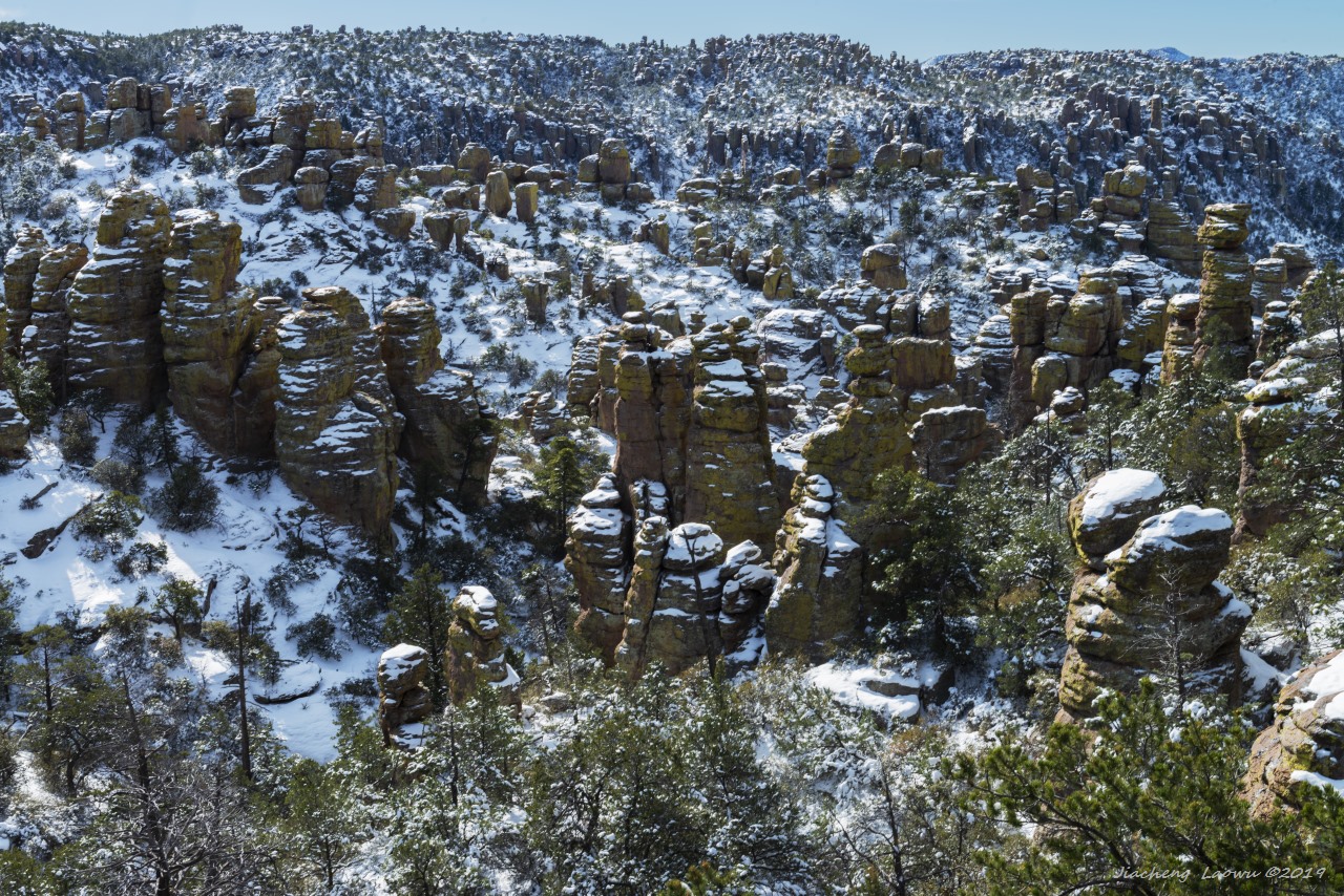
P12 Pinnacles from Echo canyon
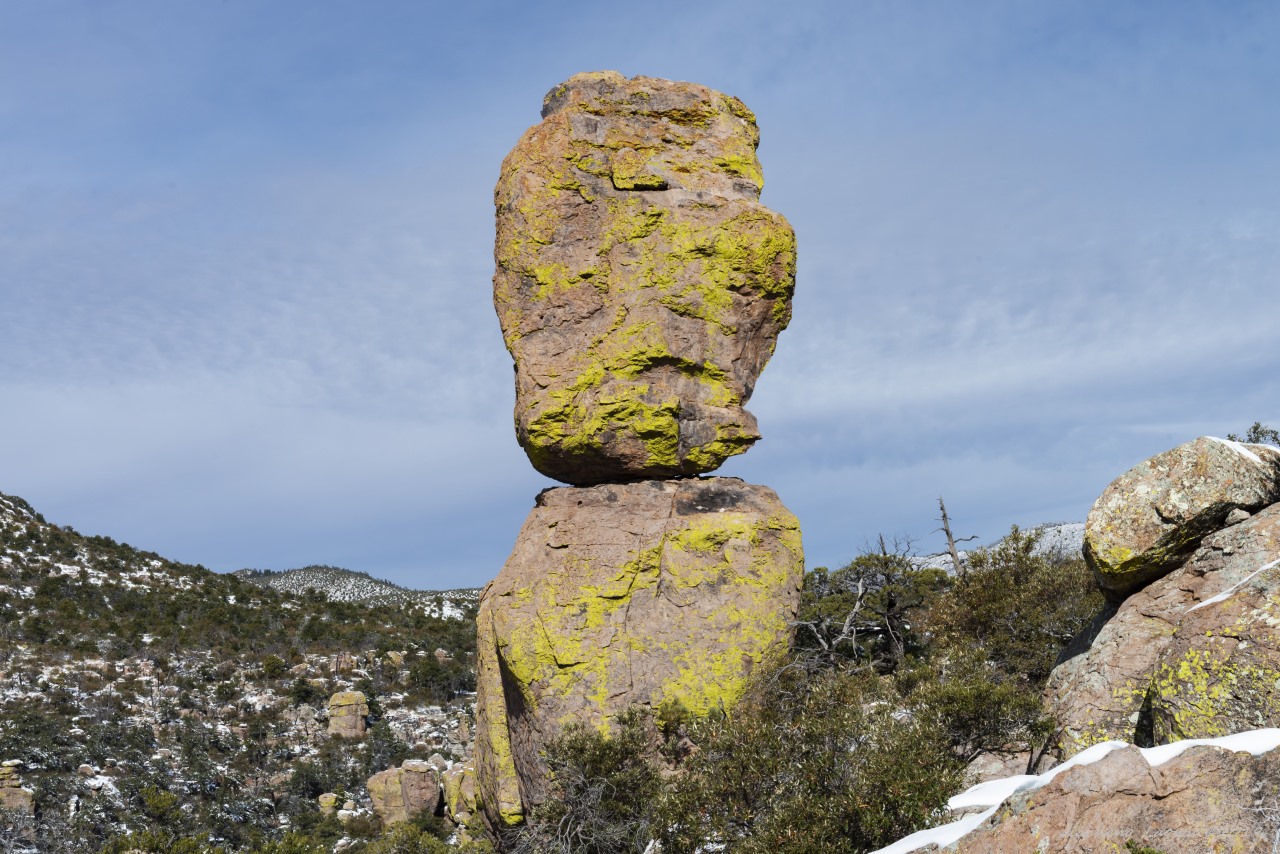
P13 Another balanced rock, Echo canyon
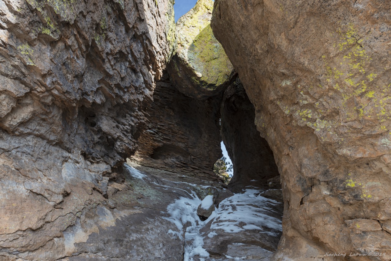
P14 Echo canyon grotto
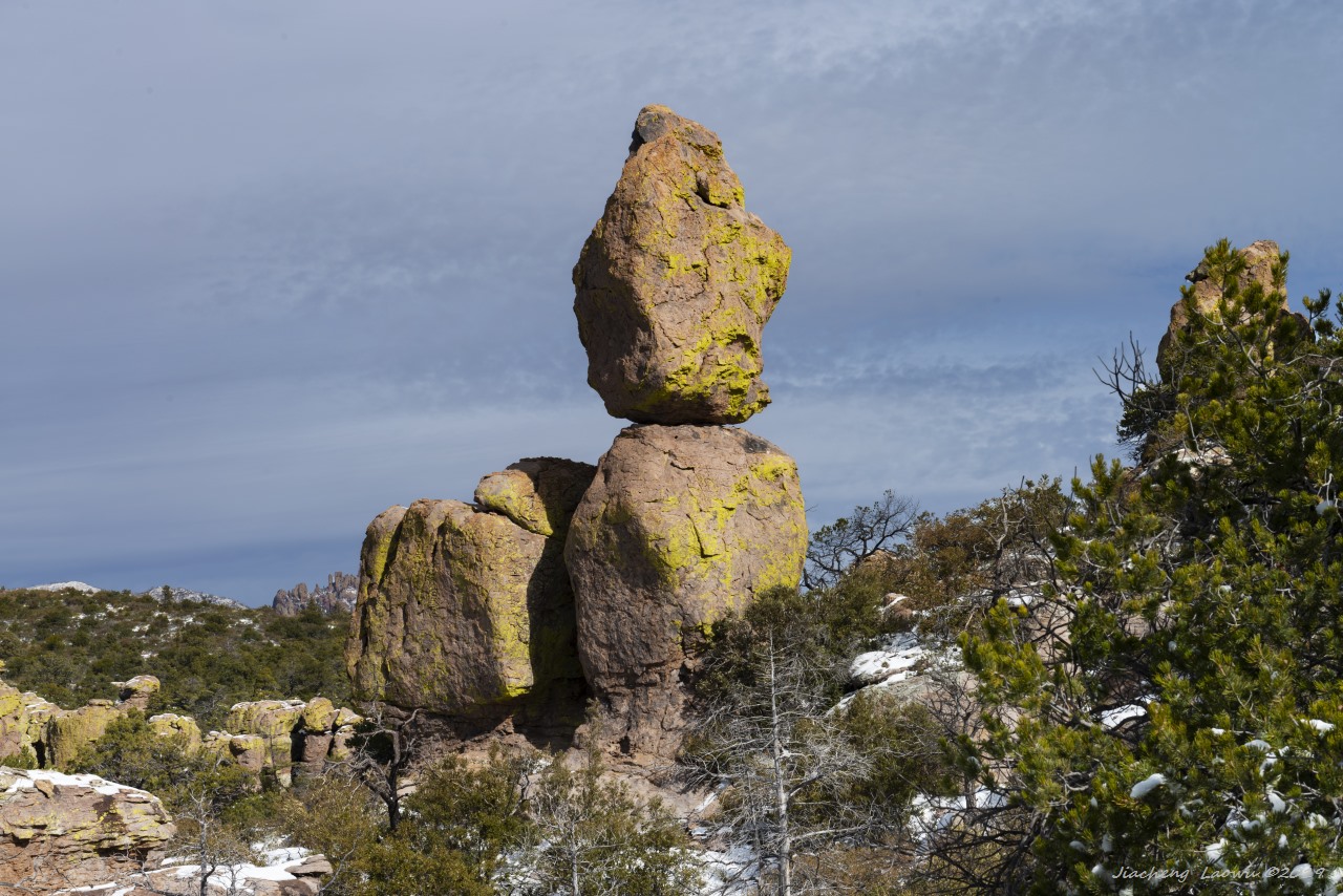
P15 Another balanced rock, Echo canyon
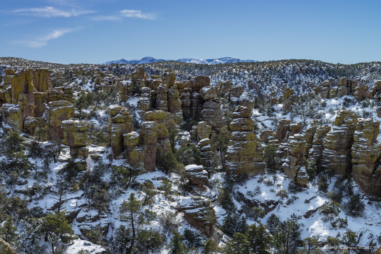
P16 Pinnacles and canyon, Massai Point Trail
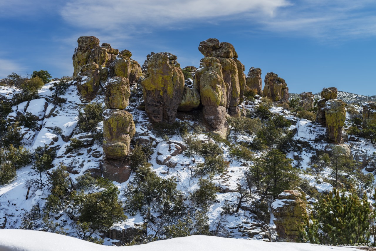
P17 Fat columns, Massai Point Trail
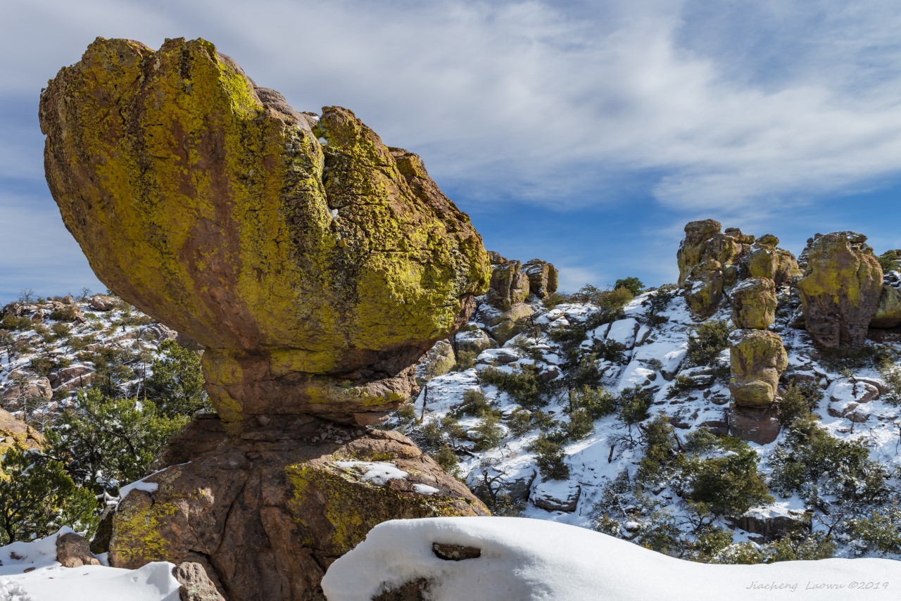
P18 Balanced rock, Massai Point Trail
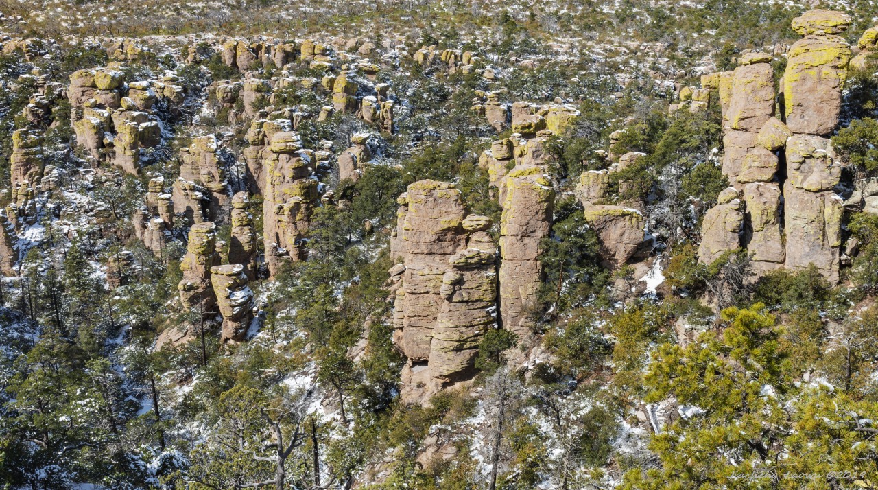
P19 Pinnacles and canyon 2, Massai Point Trail
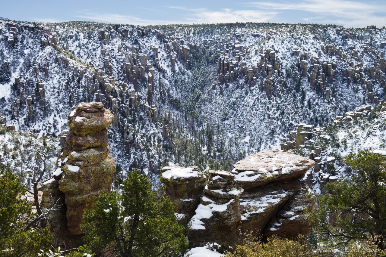
P20 Pinnacles and canyon 3, Massai Point Trail
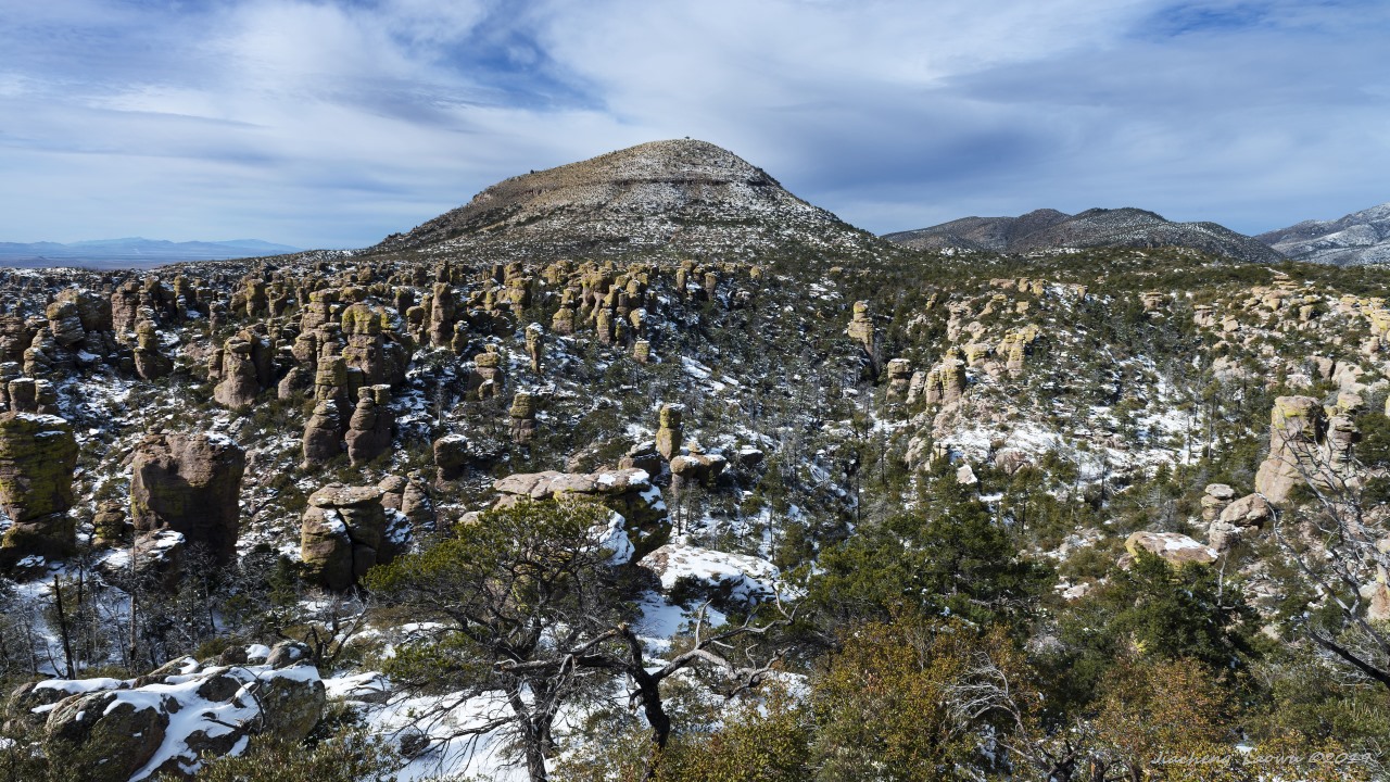
P21 Echo canyon and sugarloaf mountain from Massai Point Trail
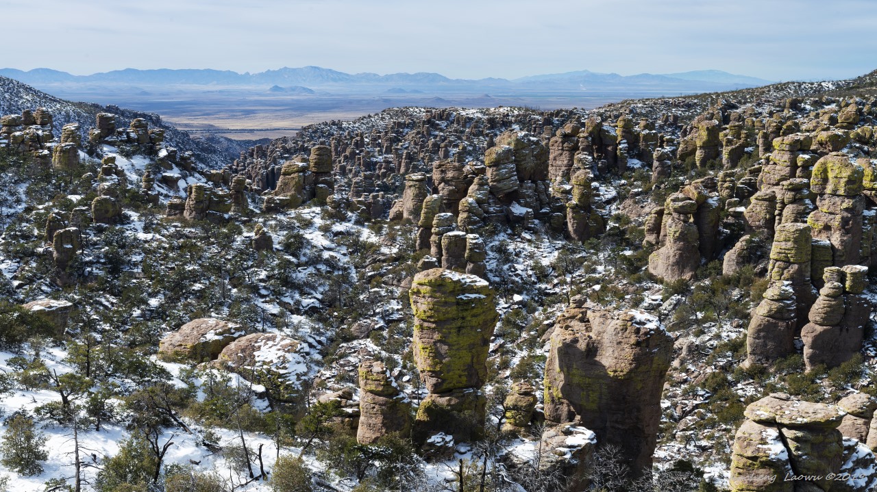
P22 Pinnacles, canyon and the desert in background, Massai Point Trail
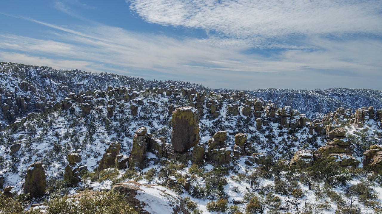
P23 Pinnacles and canyons, Massai Point Trail
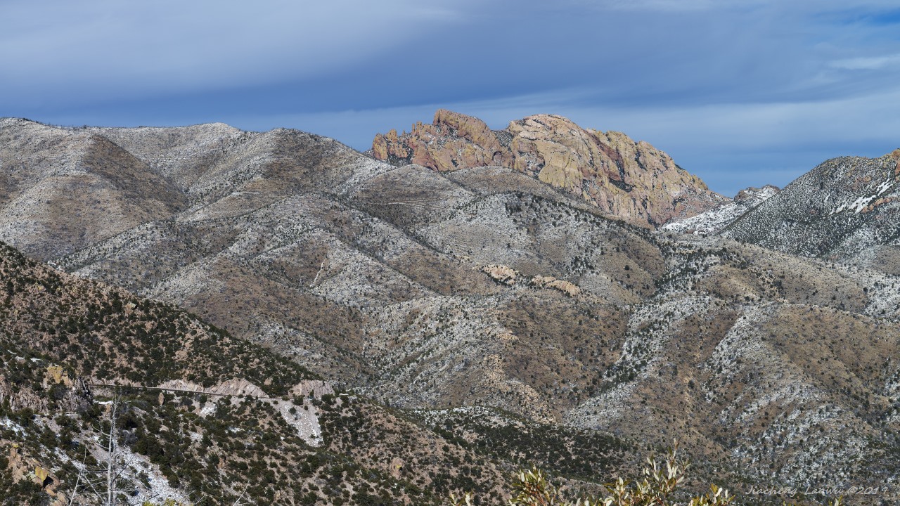
P24 The mountains on the other side of the scenic road
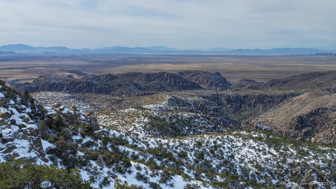
P25 The desert and Bonita canyon from the trail to Sugarloaf Mountain
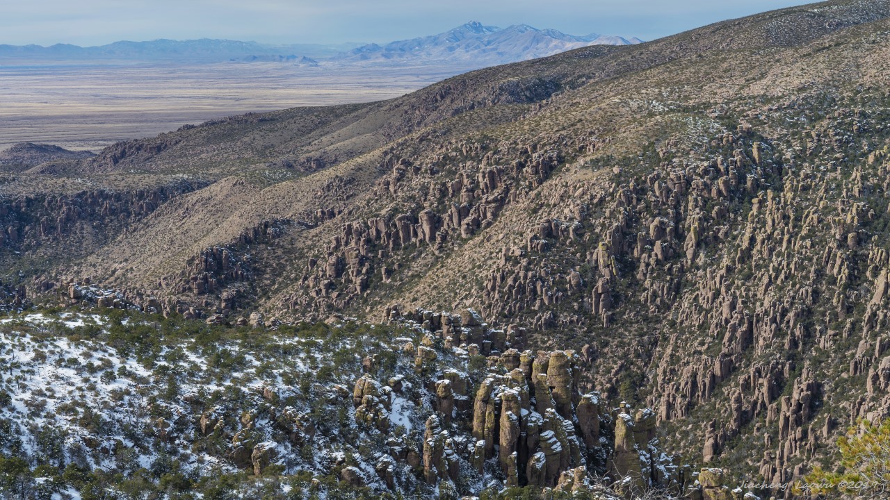
P26 The portion of Bonita canyon for Organ Pipe Formation
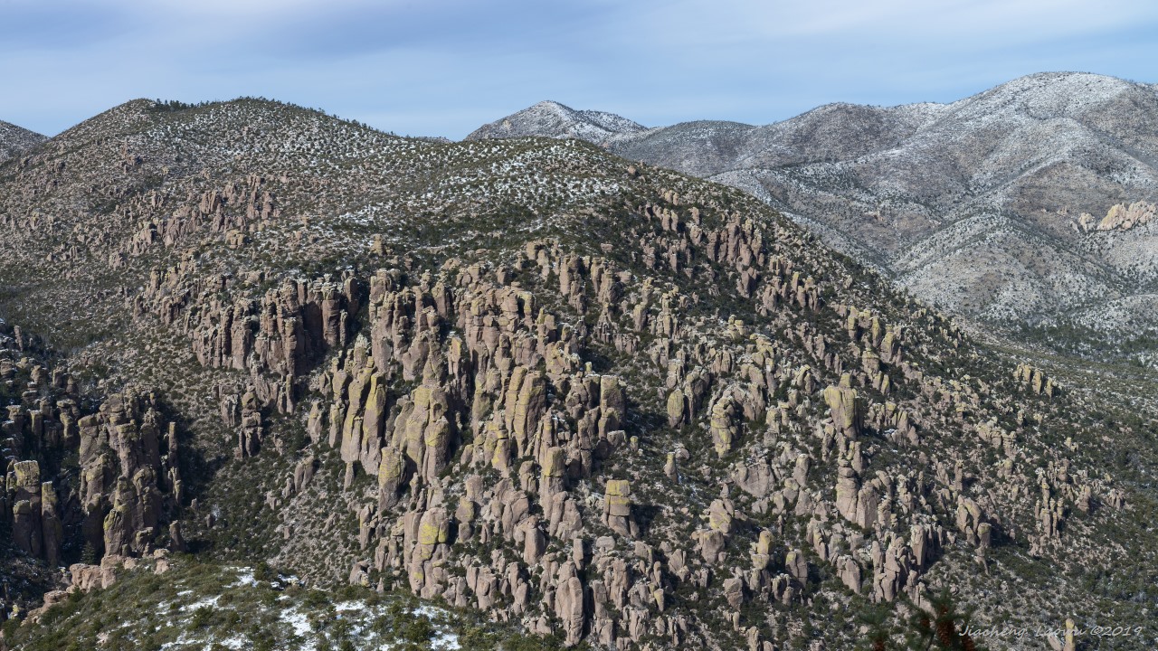
P27 The northern side of Bonita canyon
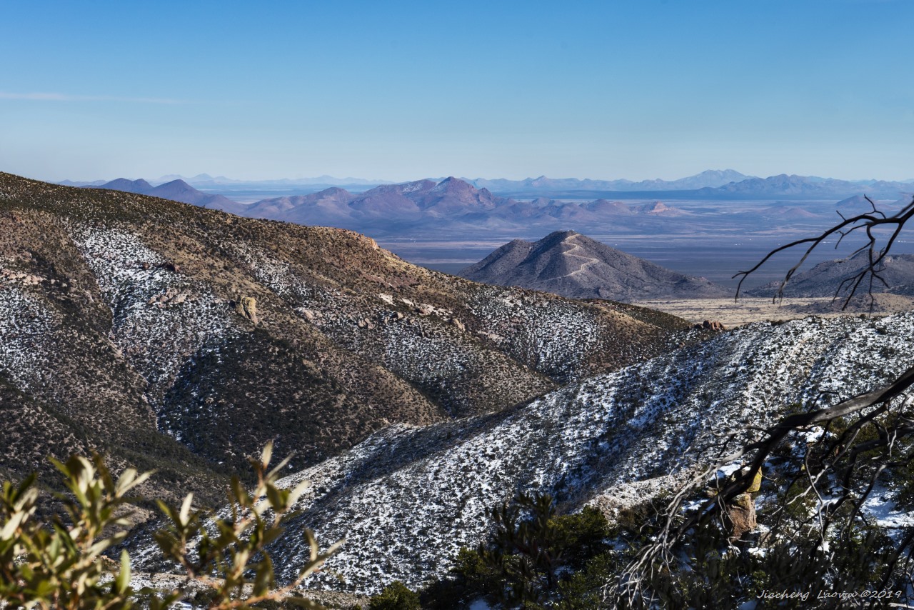
P28 Chiricahua and beyond


