2021 加州行(2) - 旅途中的航拍
甲城老武 2021-12-31
2021 加州行(2) - 旅途中的航拍
在旅途的飞机上拍摄下面的照片也是旅行中的有趣的事情,但前提是有靠窗户的座位和好天气。 我从波士顿到洛杉矶的旅行中因为一路都在下雨和乌云,没有拍出一张可以接受的照片。 当我们离开洛杉矶前往波士顿时,洛杉矶正在下雨, 也无法拍出洛杉矶的真容。不过,后面的一大段时间里,有过晴朗的时候, 便有了本篇。
下面的照片按照飞机由西往东的顺序, 不熟悉的地名保持英文原文。
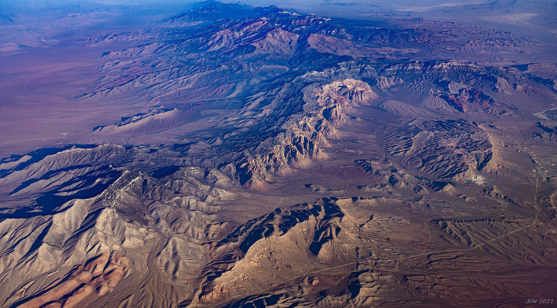
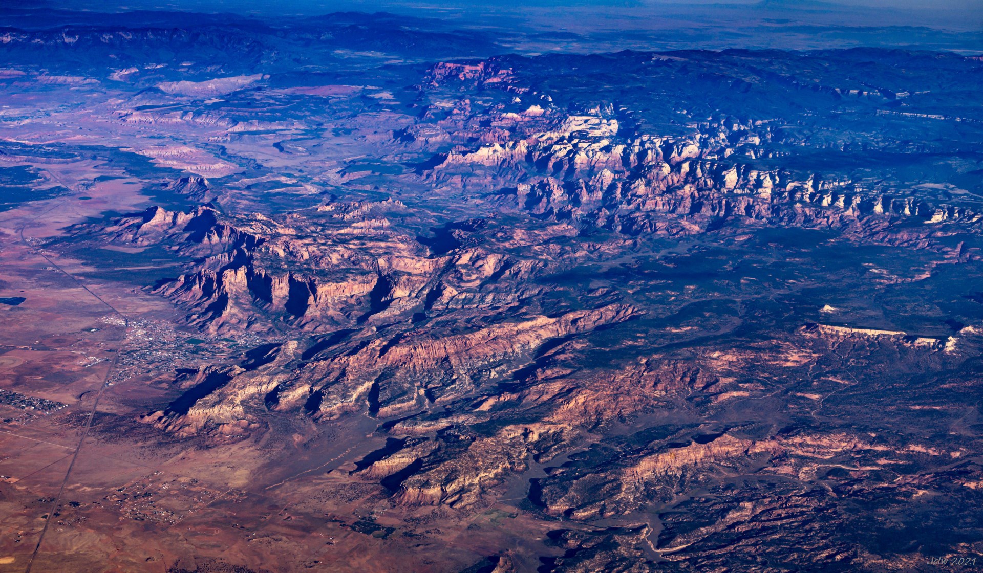
P1 内华达州西红岩峡谷
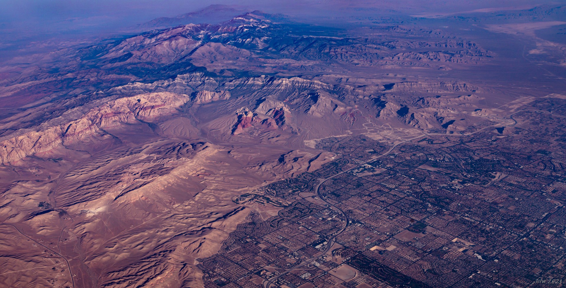
P2 红岩峡谷与拉斯维加斯西
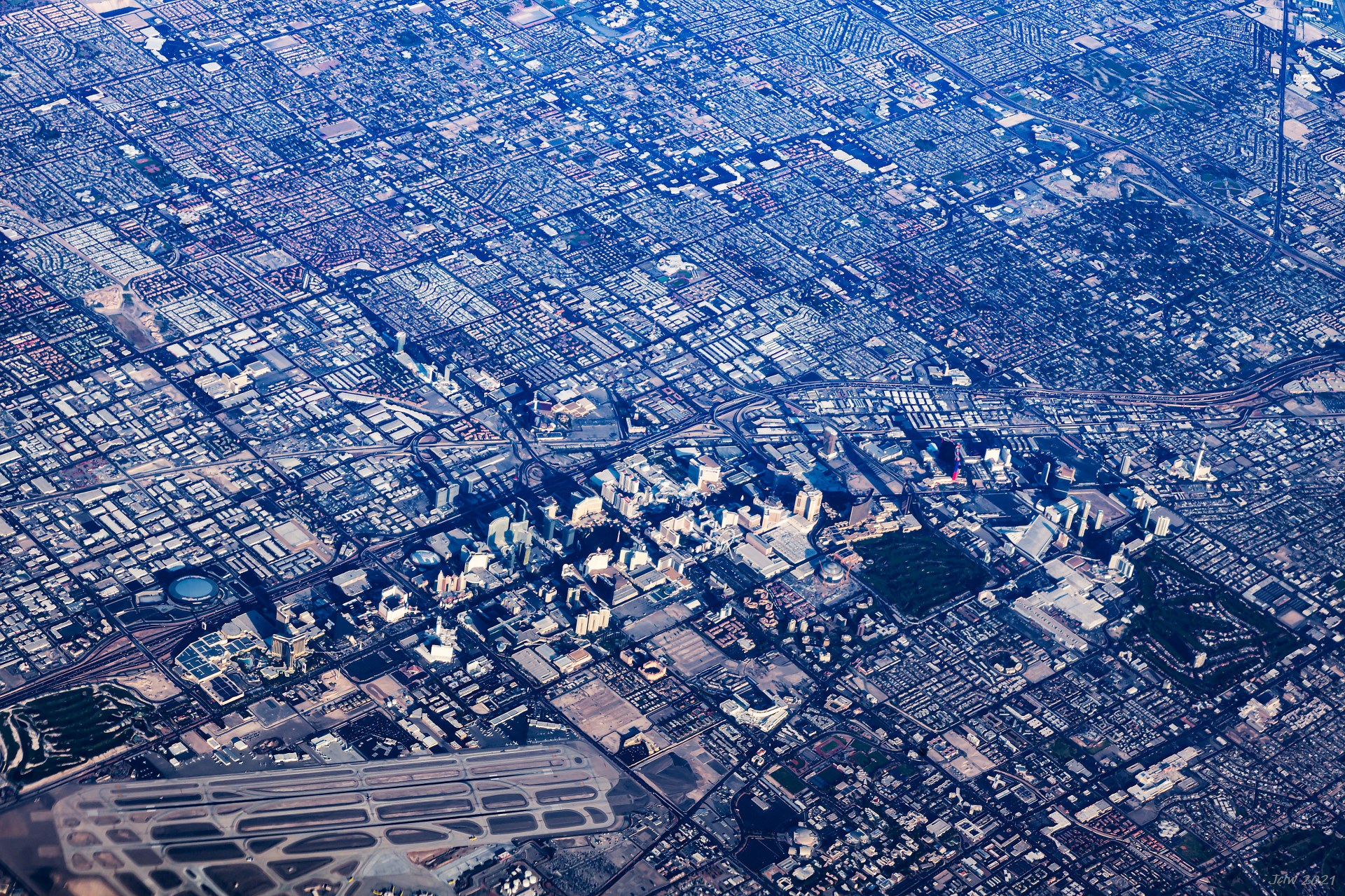
P3 拉斯维加斯的条带区和机场
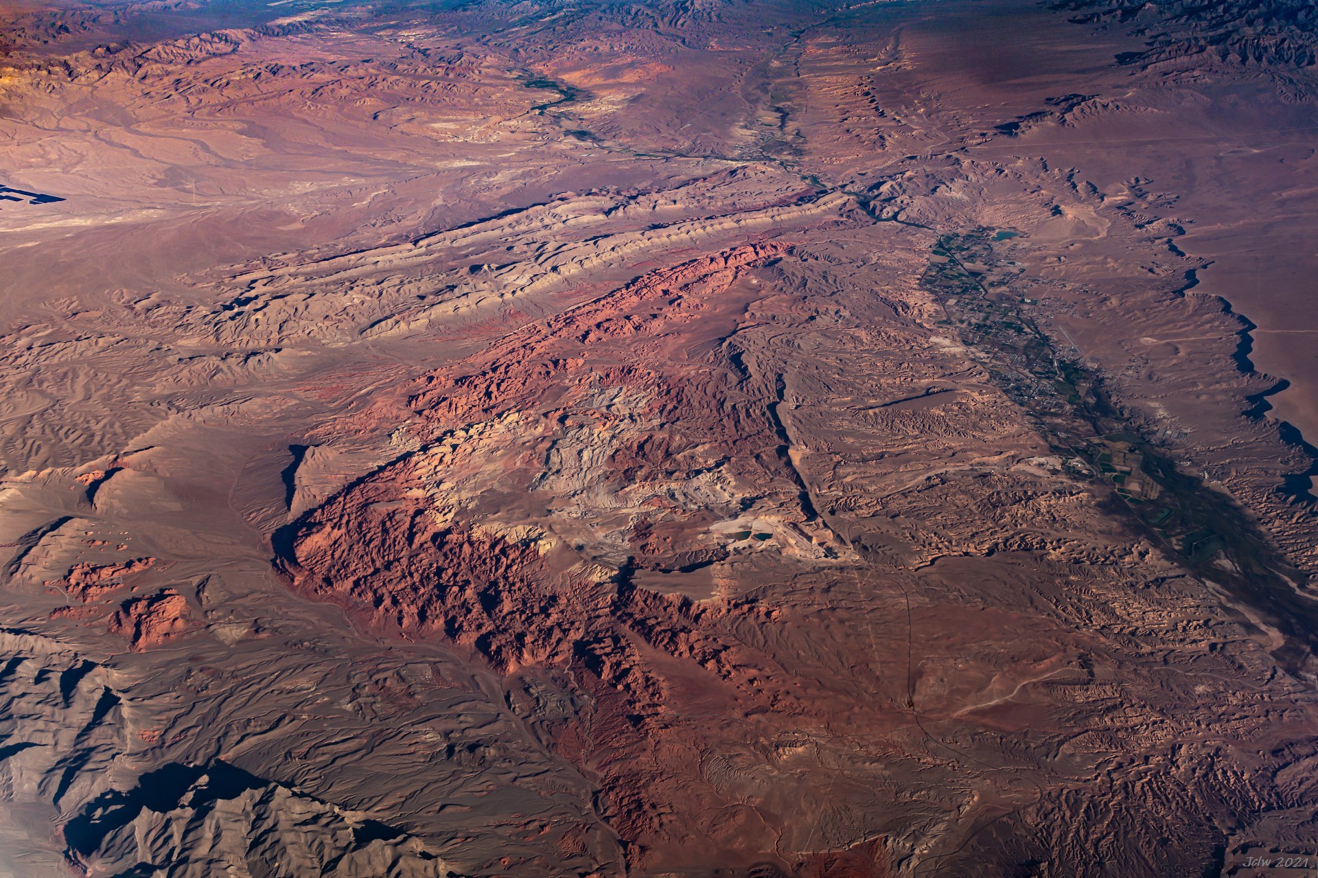
P4 内华达州火之谷州立公园
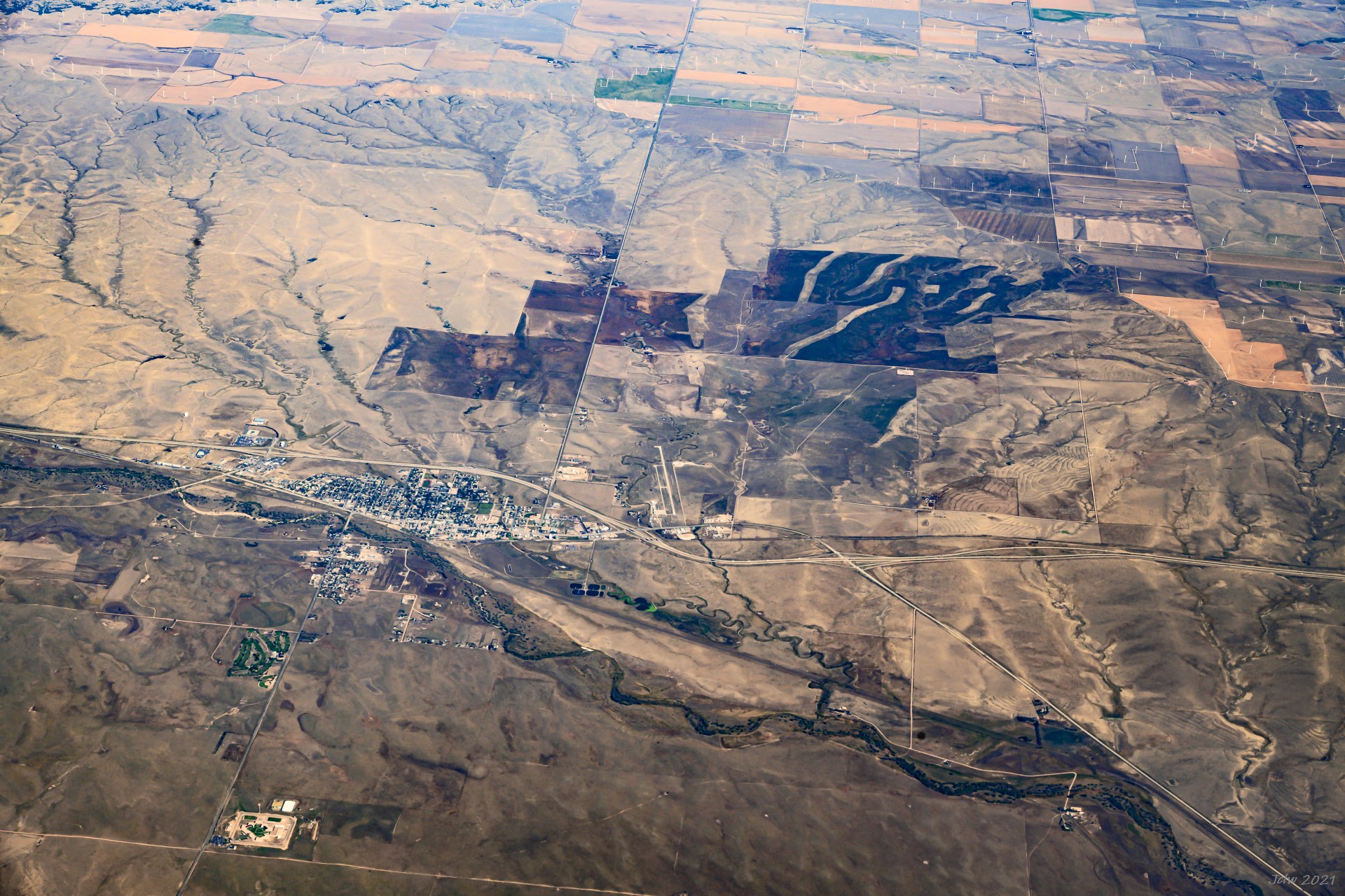
P5 亚利桑那州科罗拉多城
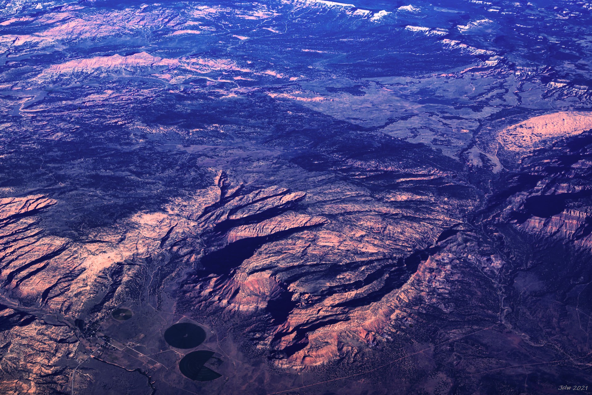
P6 亚利桑那州弗雷多尼亚/凯巴布(Fredonia/Kaibab)
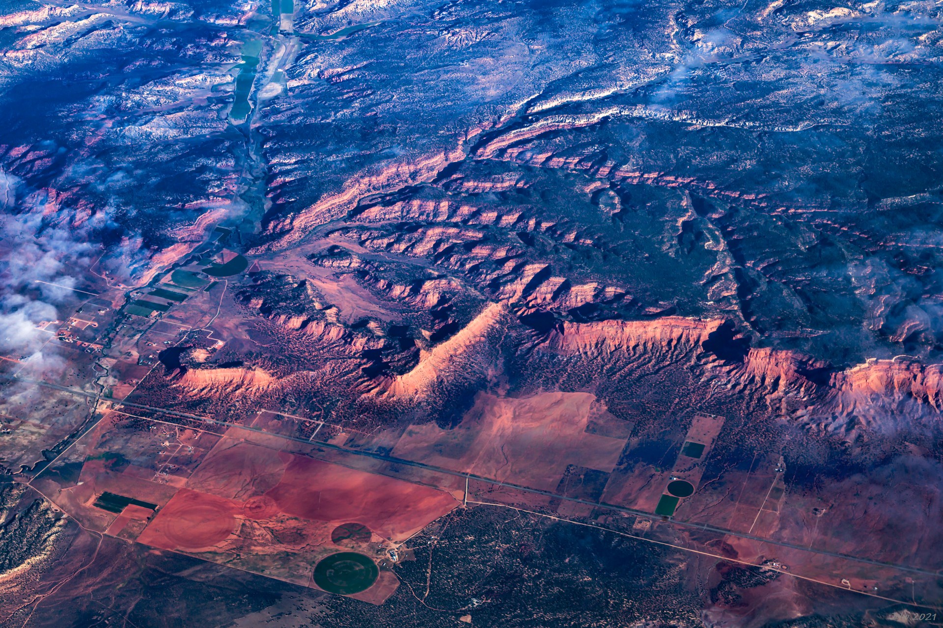
P7 Johnston Canyon, Kanab, UT (UT Hwy 89 run across Left-Right)
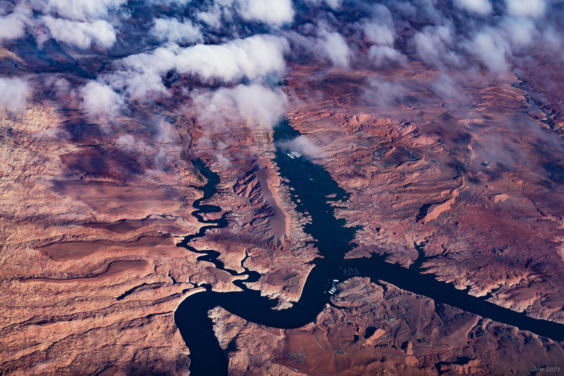
P8 Glen river at Halls Crossing, UT
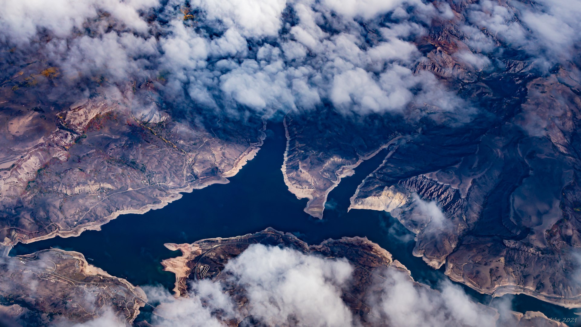
P9 Gunnison River at Sapinero, Colorado
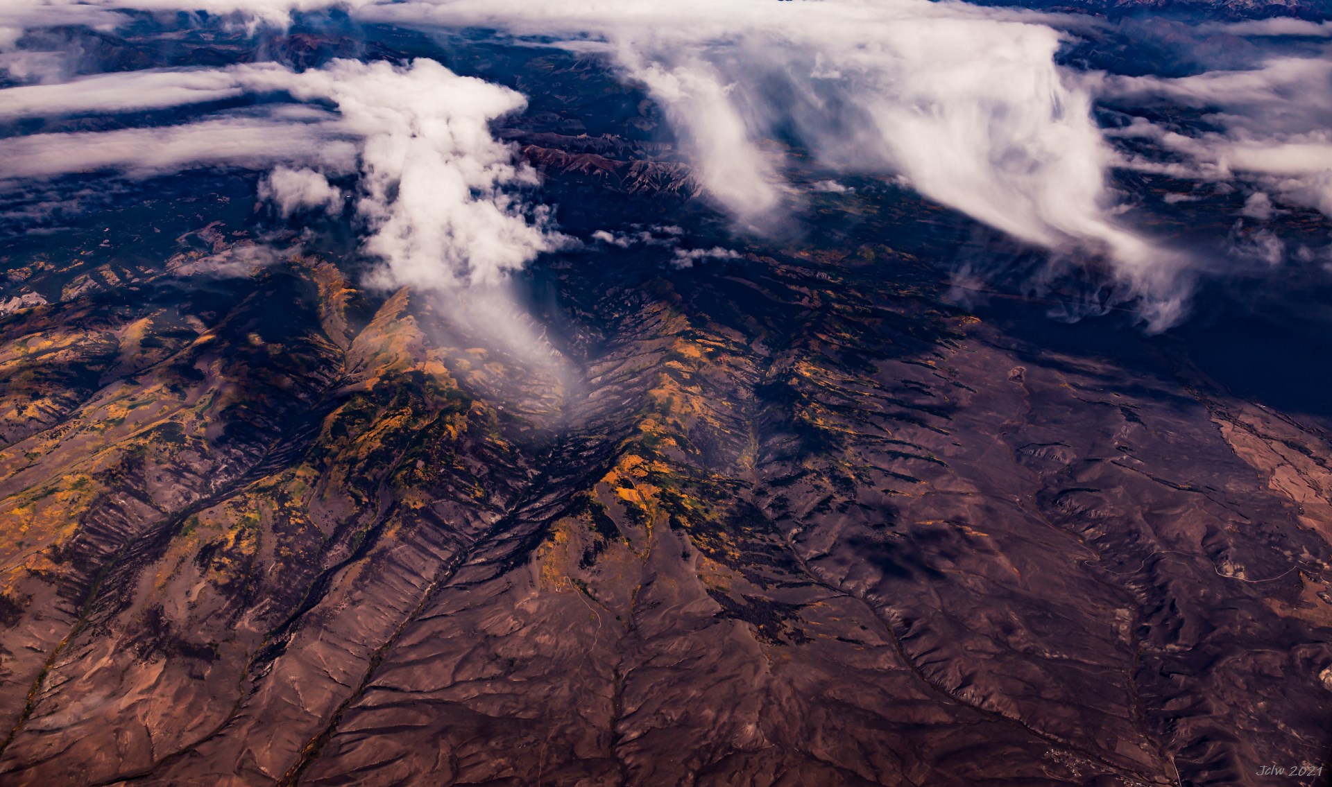
P10 科罗拉多落基山的黄叶
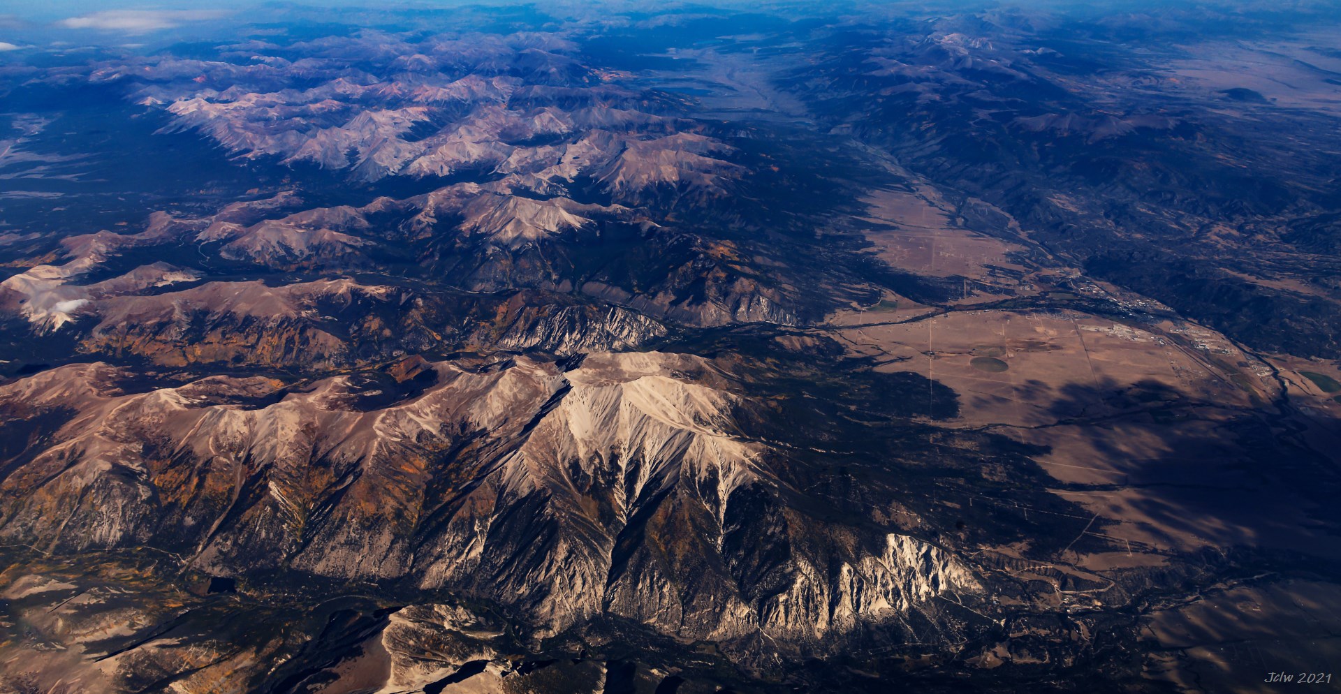
P11 Buena Vista CO; Arkansas River runs along the valley
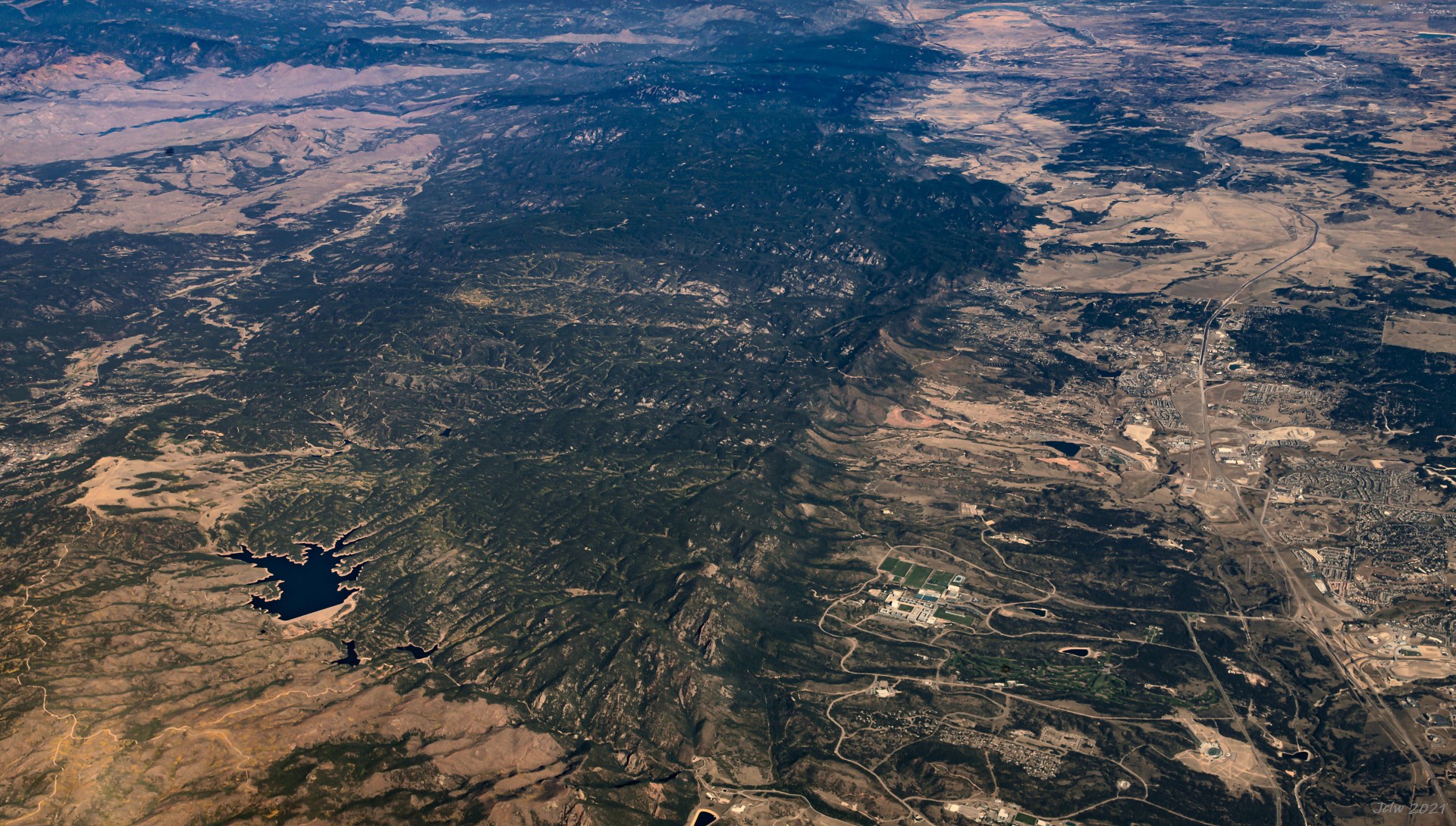
P12 Rampant Resevoir on the left, 中部有四块绿草坪及建筑物的地方为美国空军学院, Colorado Spring, CO
P13 Limon, CO
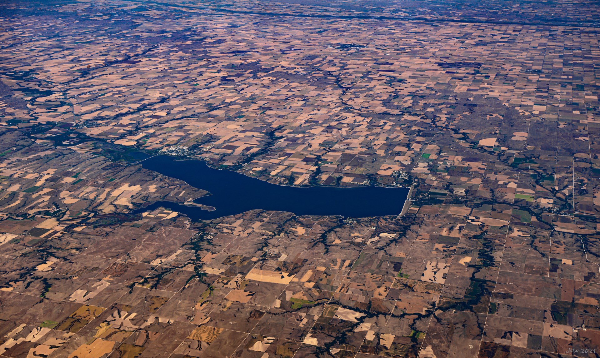
P14 Harlan County Lake, Nebraska
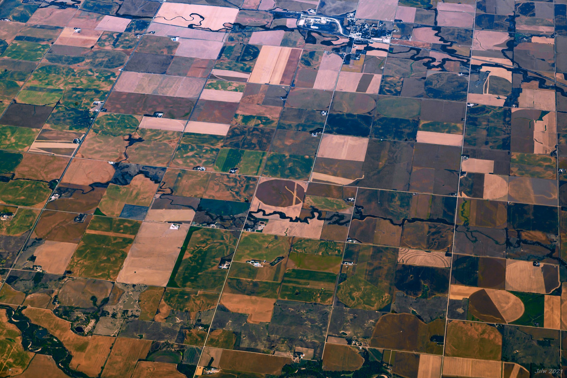
P15 中西部的土地与乡村;此处为内布拉斯加州, 顶上为卡尔顿村(Carleton)和大沙溪(Big sandy creek); 中间的的小溪没有名字。
P16 布拉斯加州城
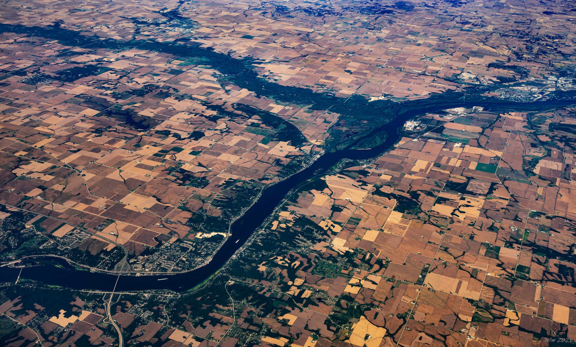
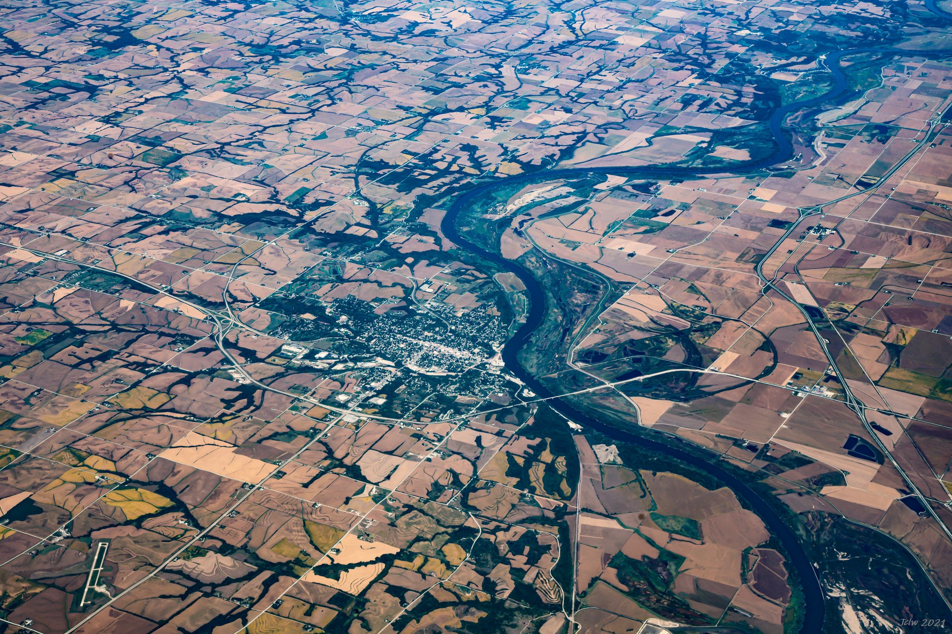
P17 Junction of Mississippi river with Wapsipinicon River on Iowa/Illinois border; I-74 cross the river at Davenport IA/Molin IL
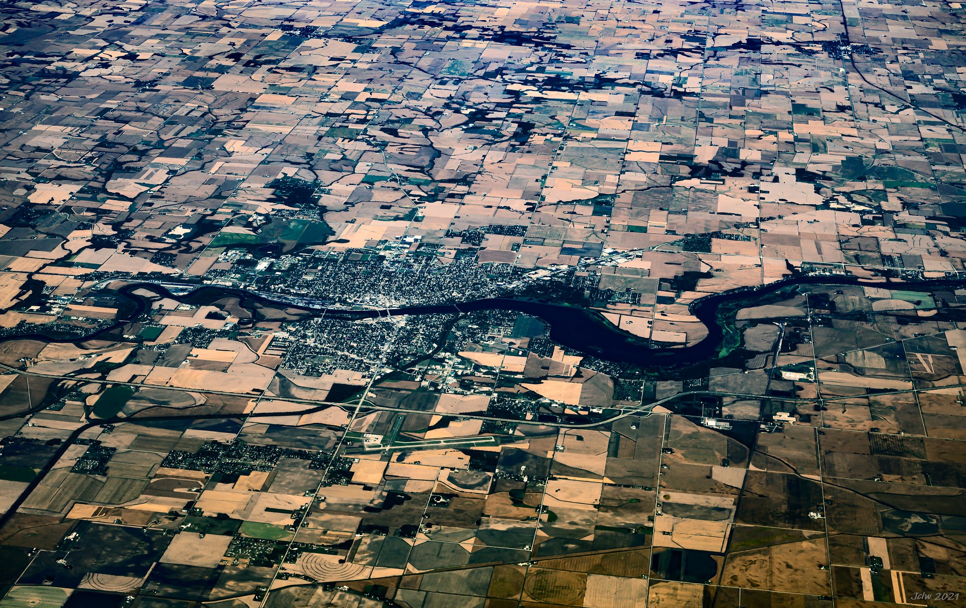
P18 Sterling/Rock Falls, IL
P19 St. Charles, IL; The airport is DuPage Airport
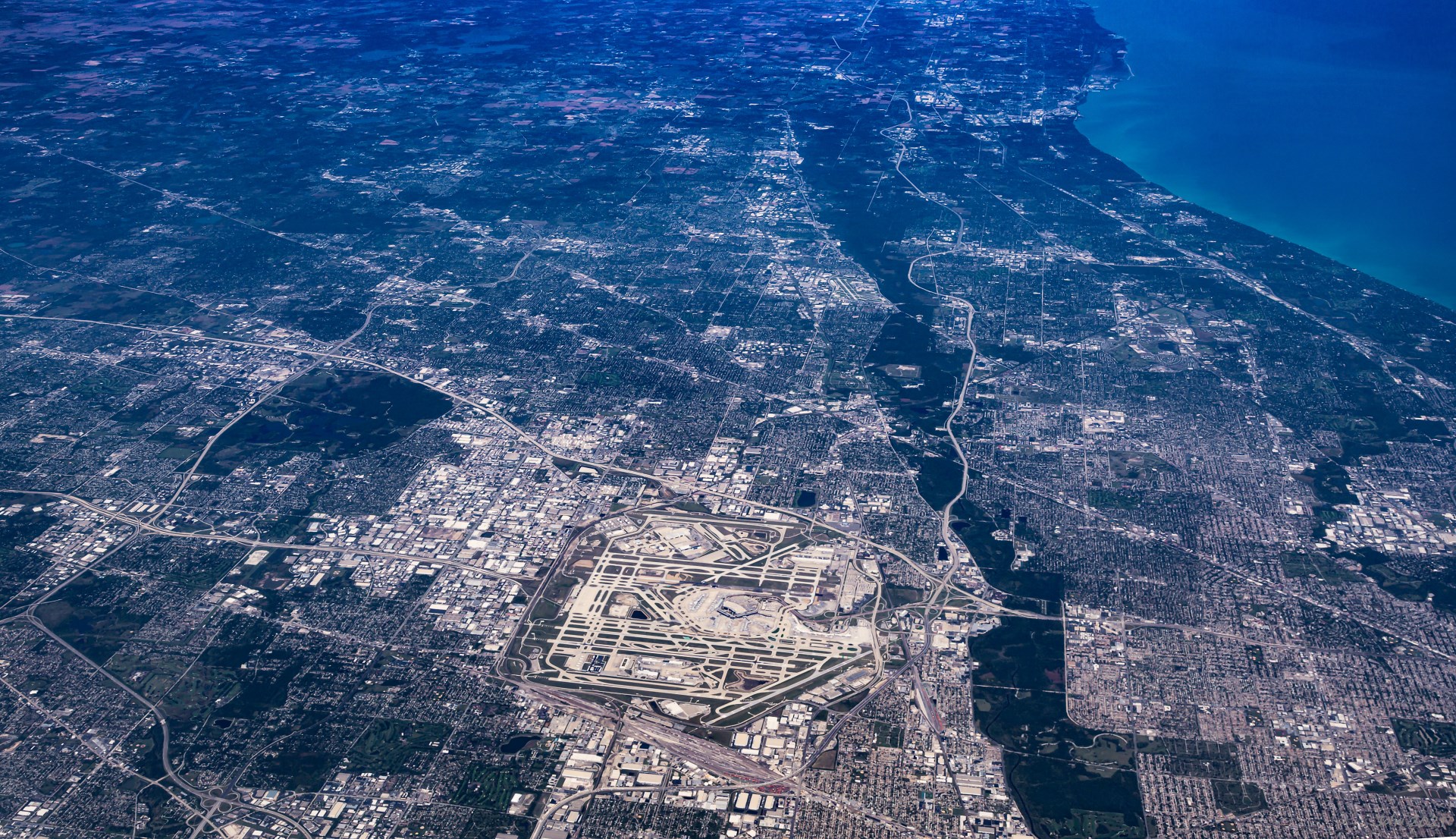
P20 芝加哥 O'Hare Airport
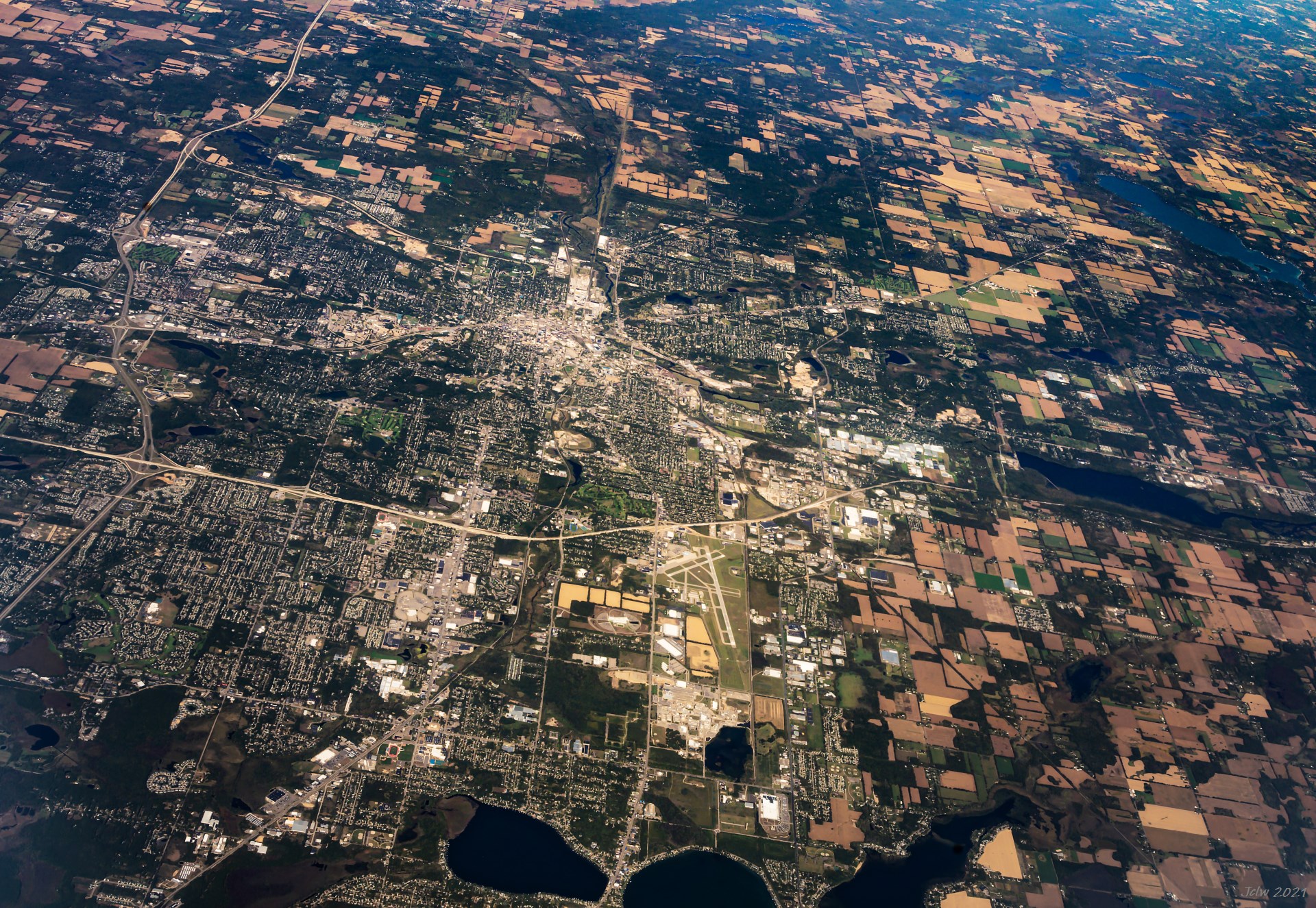
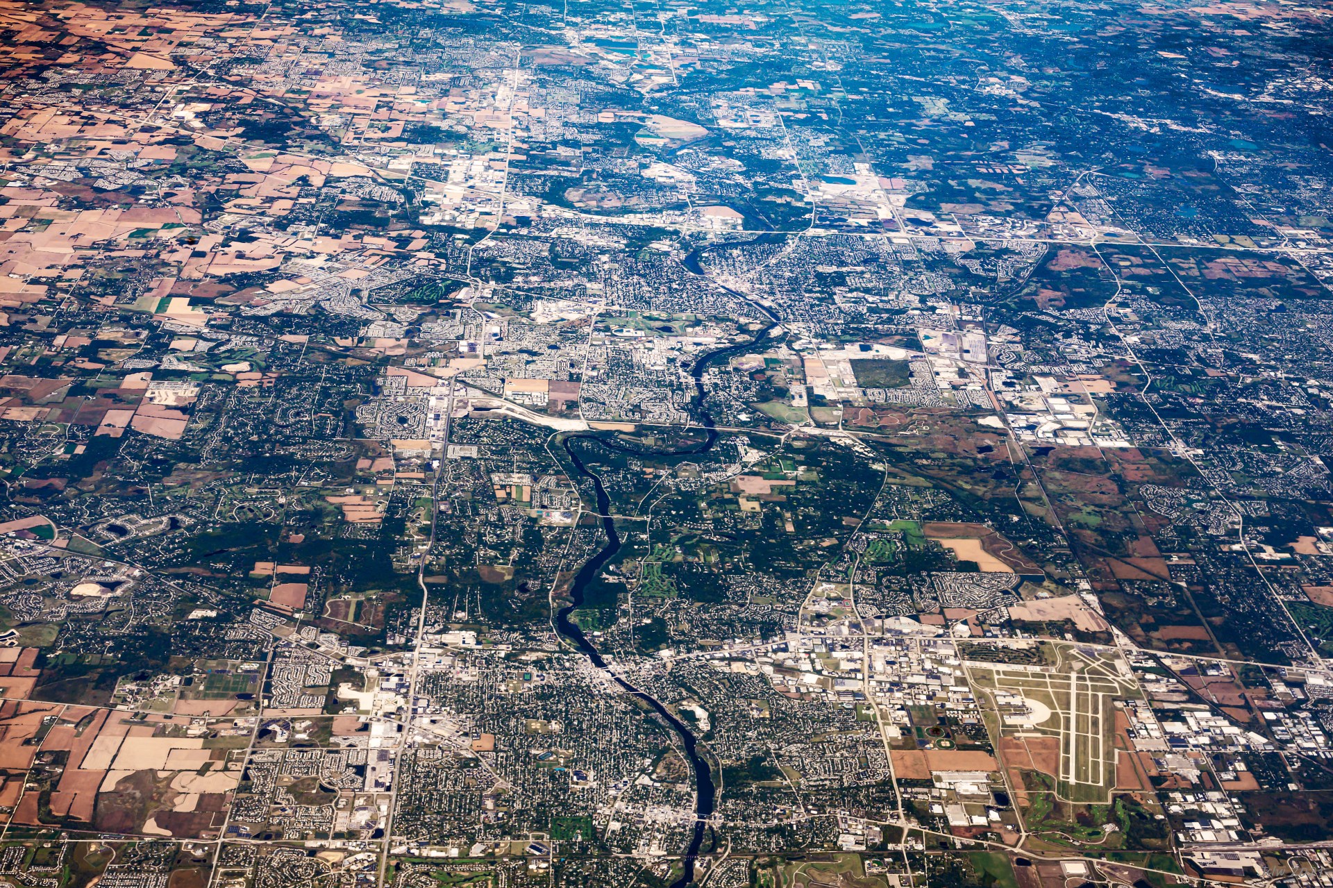
P21 Kalamazoo, MI
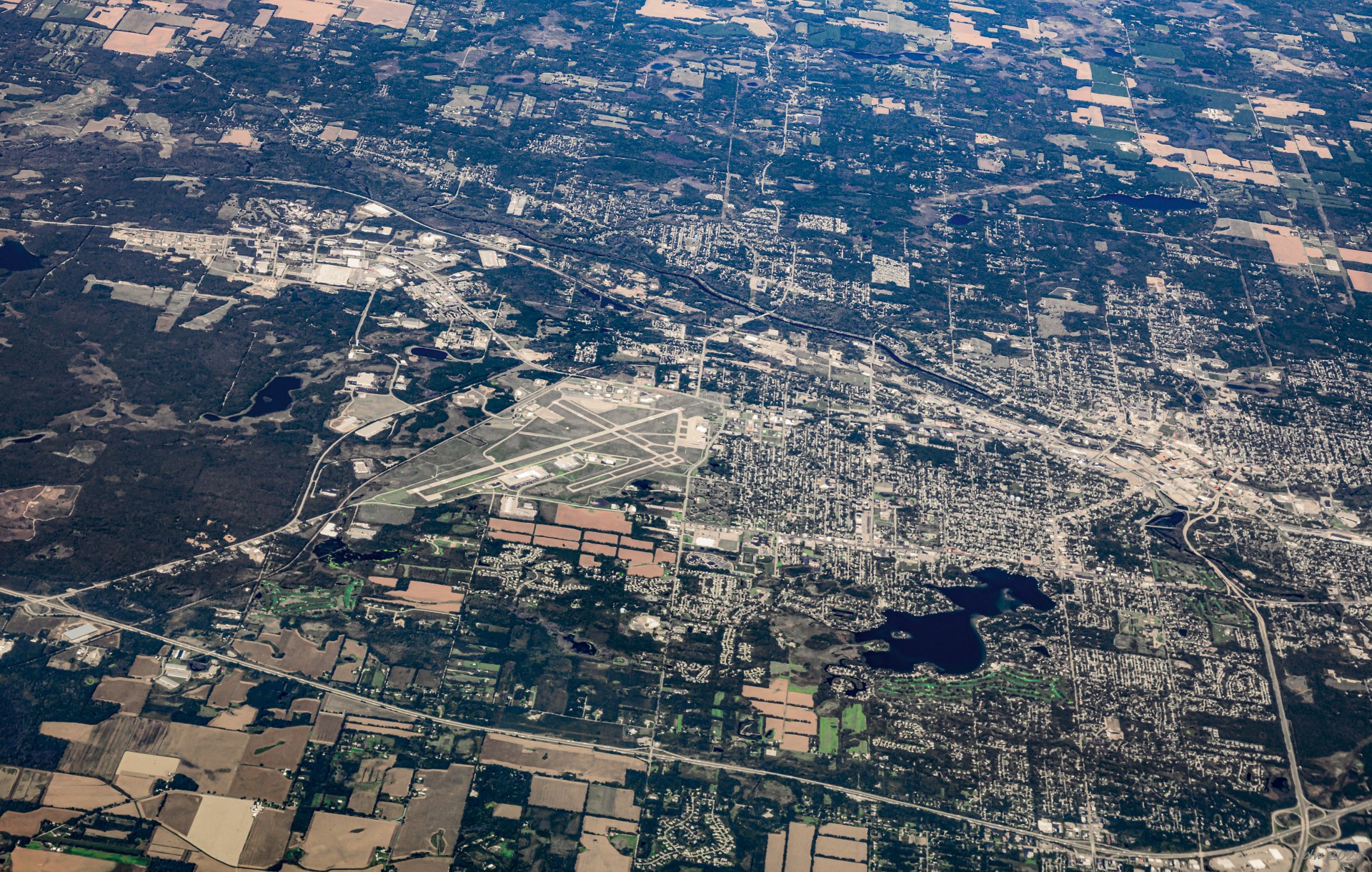
P22 Battle Creek, MI
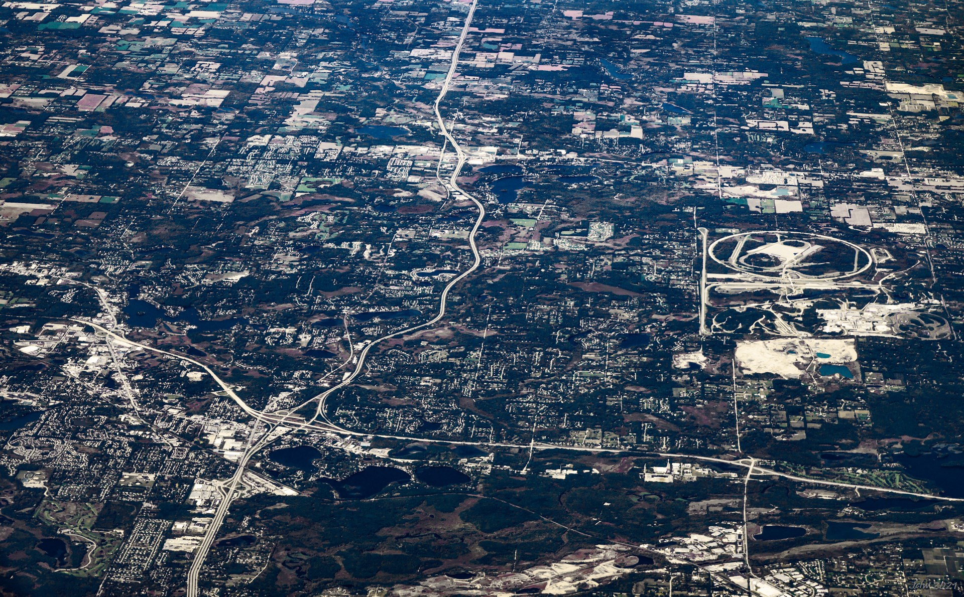
P23 Brighton MI on Hwy crossing, GM Black Lake on the middle of right edge
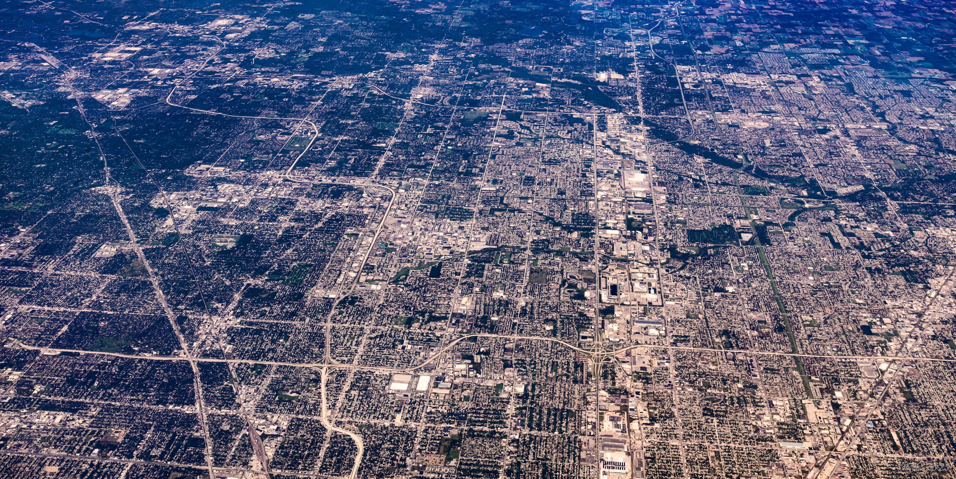
P24 Warren MI, I-696 running E-W in lower part, bright N-S zone on the right bound by Mound Street and Rt. 53
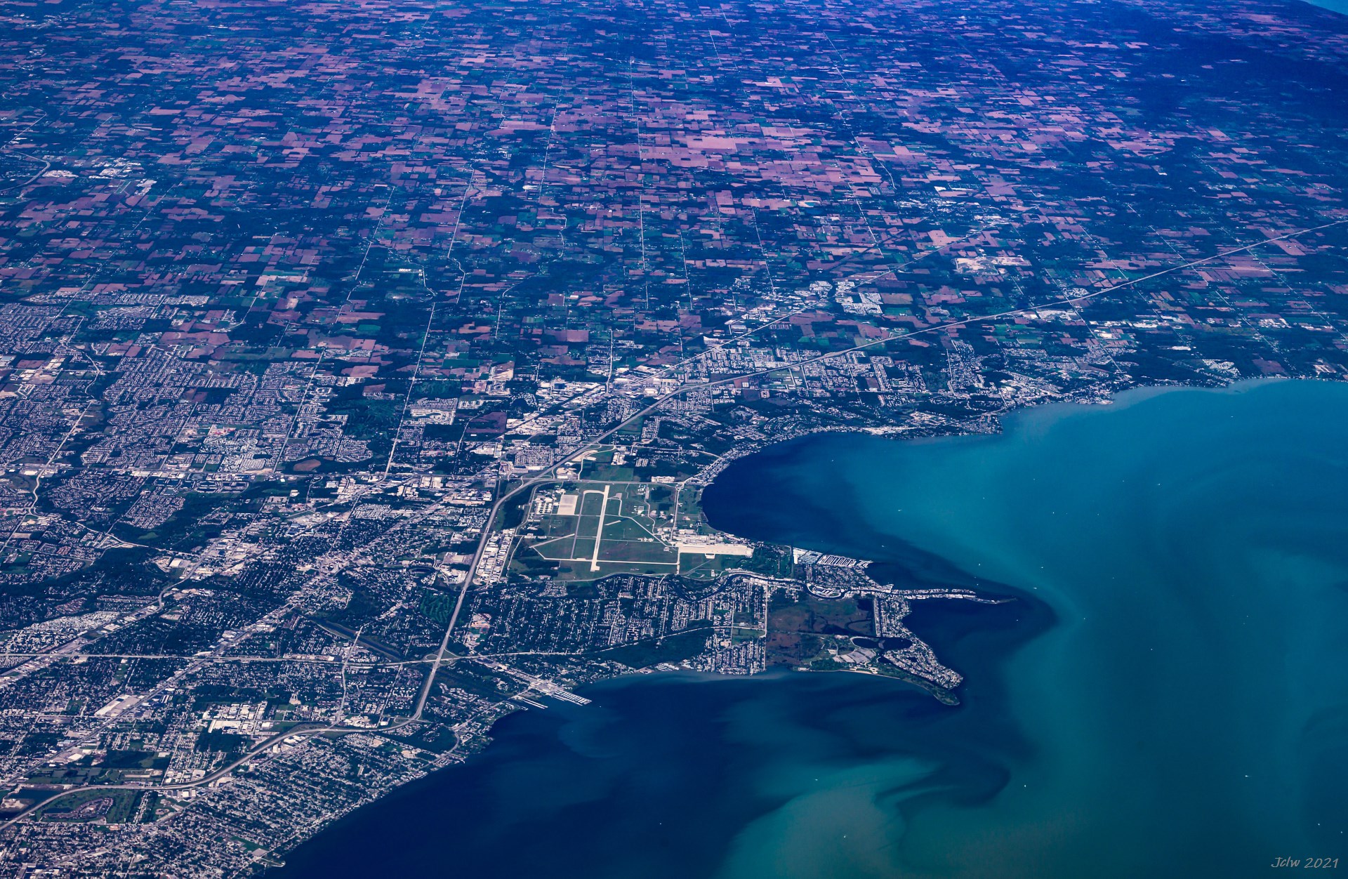
P25 Harrison Charter Township, MI
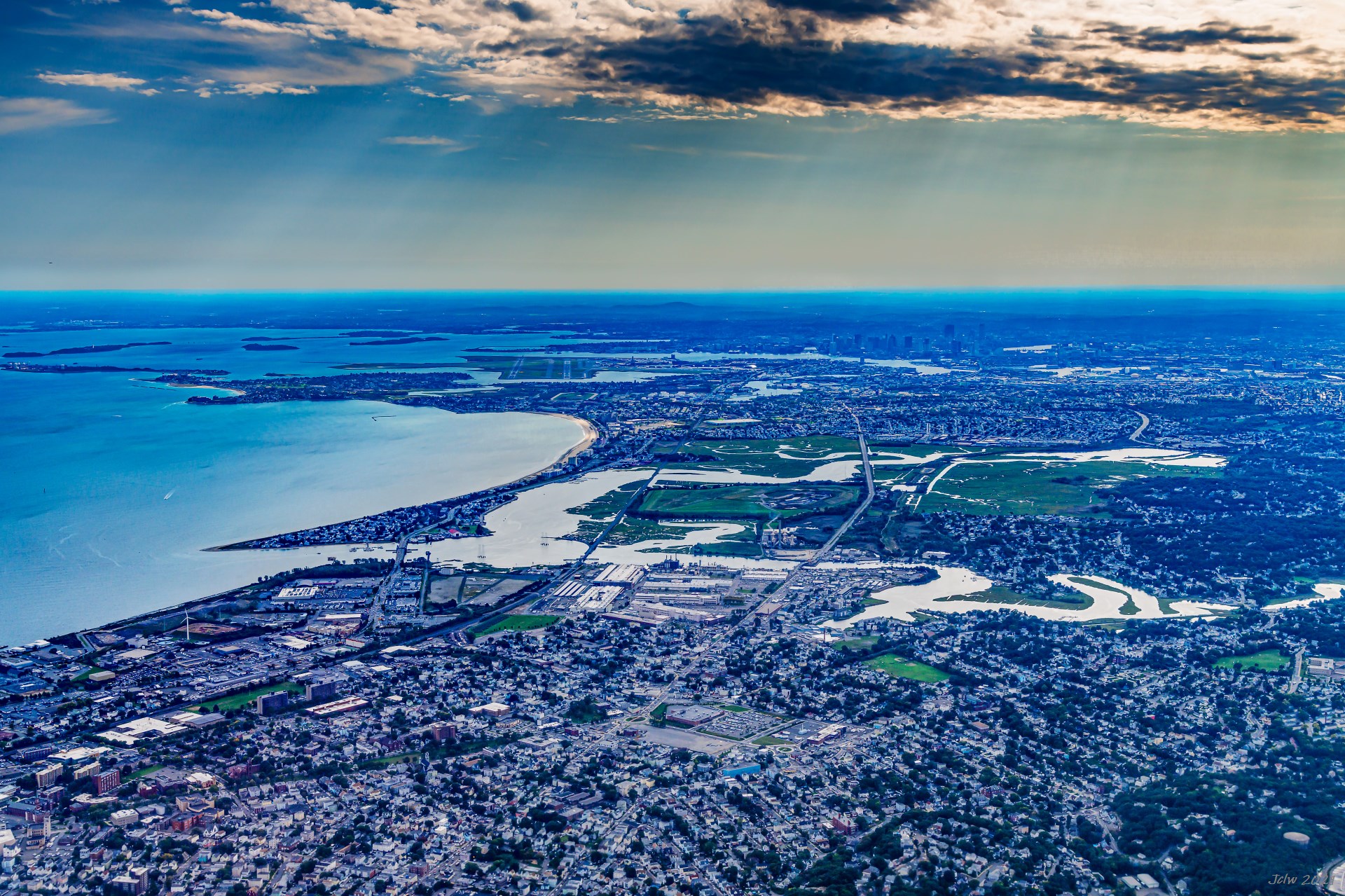
P26 从北面看波士顿市中心和洛根机场
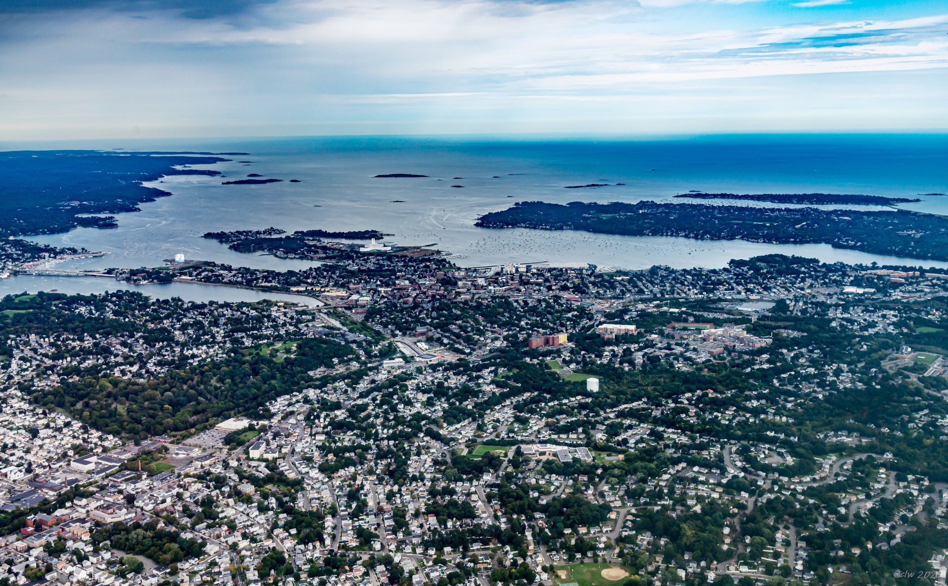
P27 Essex Bridge (left-middle), Salem MA (mid-front) and Marblehead MA (right front)
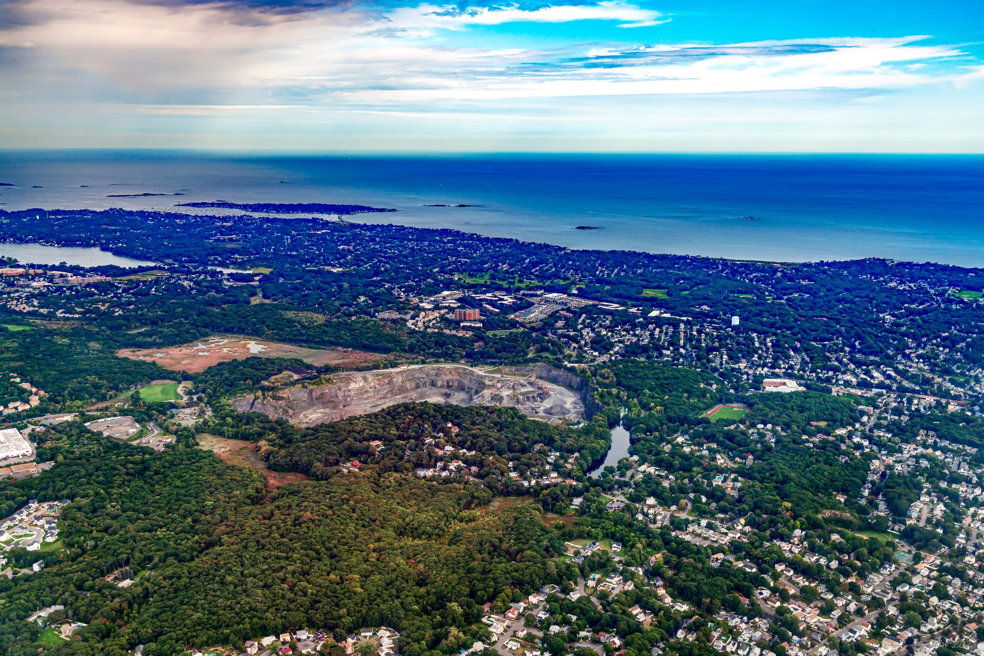
P28 Aggregate Industries Quary, Swampscott, MA 01907
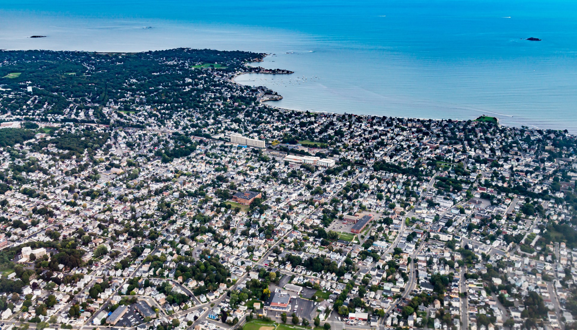
P29 East Lynn, Lynn MA; Galloupes Point on left front, Red Tock Park on the right front
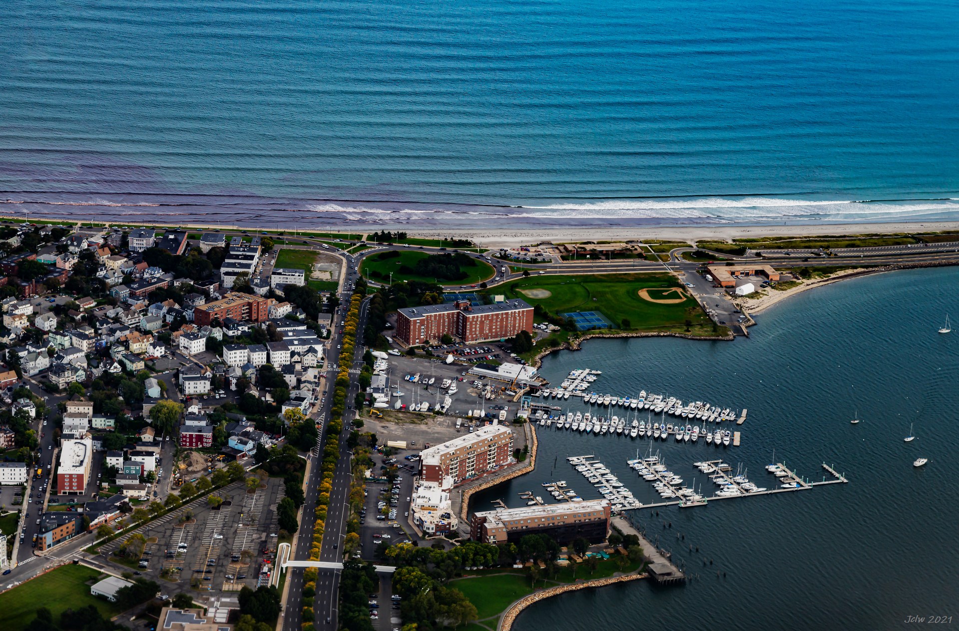
P30 Nahant Beach and Lynnway(vertical roads in the middle), Lynn, MA
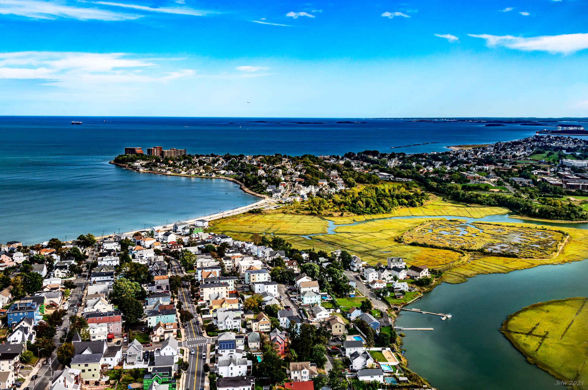
P31 Belle Isle Marsh in the middle
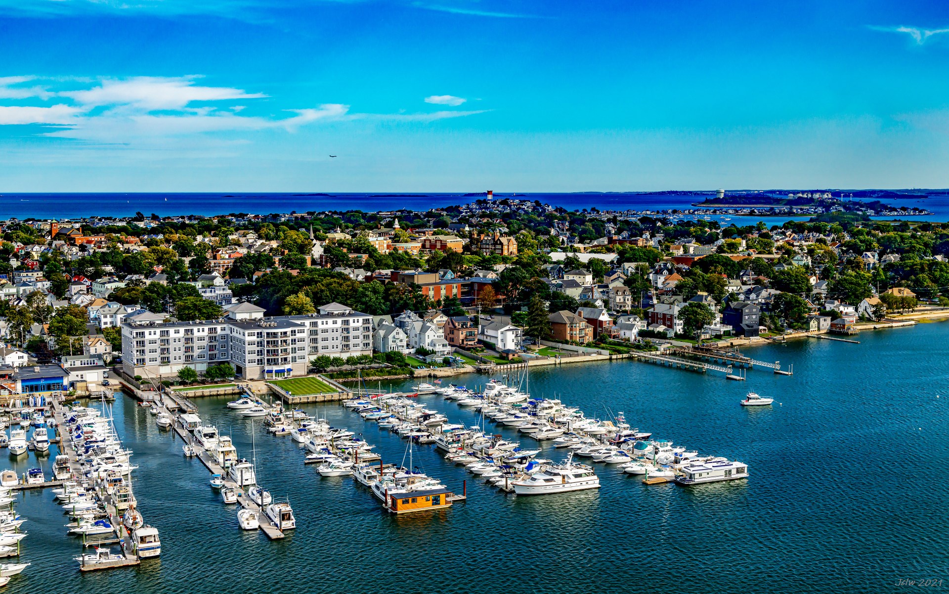
P32 Winthrop and Deer Island
2021 加州行(3) - 野生动物篇