NiagraFalls - Surrounding Area
Changde Wu 2014-05-04
NiagraFalls - Surrounding Area
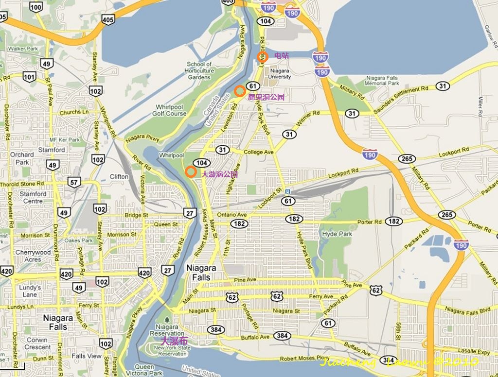
P1 The map of the down stream Niagara River
(1) Whirlpool State Park
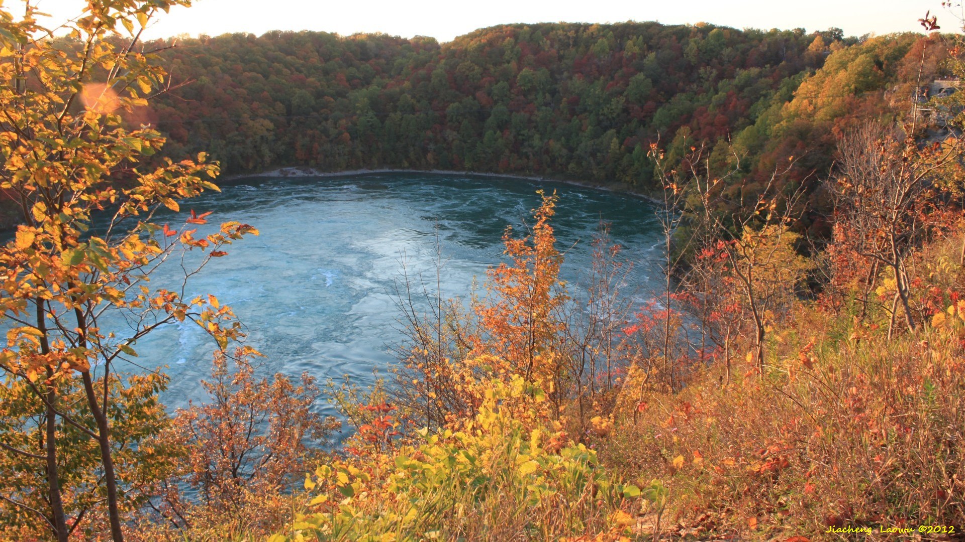
P2 Whirlpool (2010)
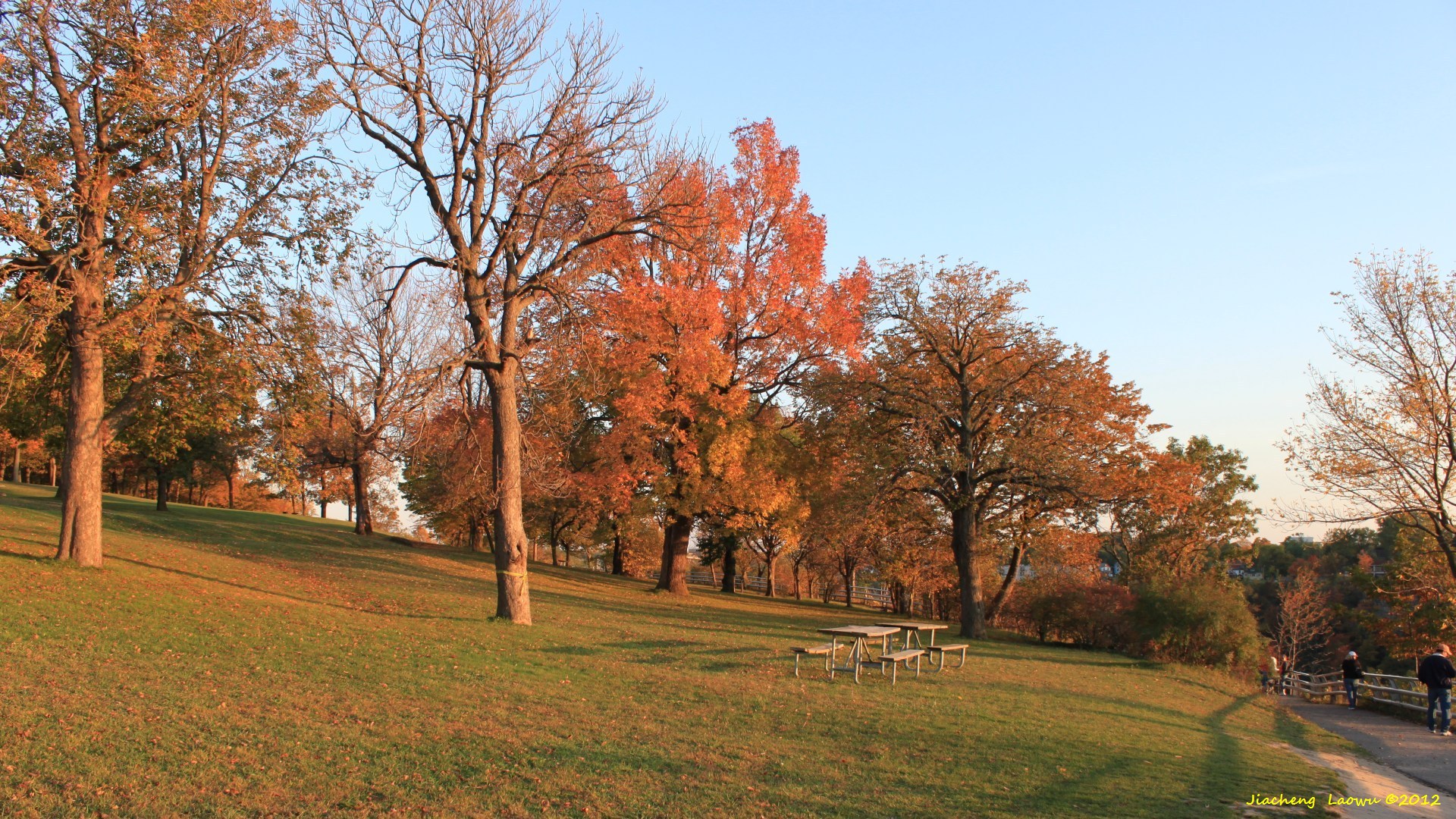
P3 Tranquil Park (2010)
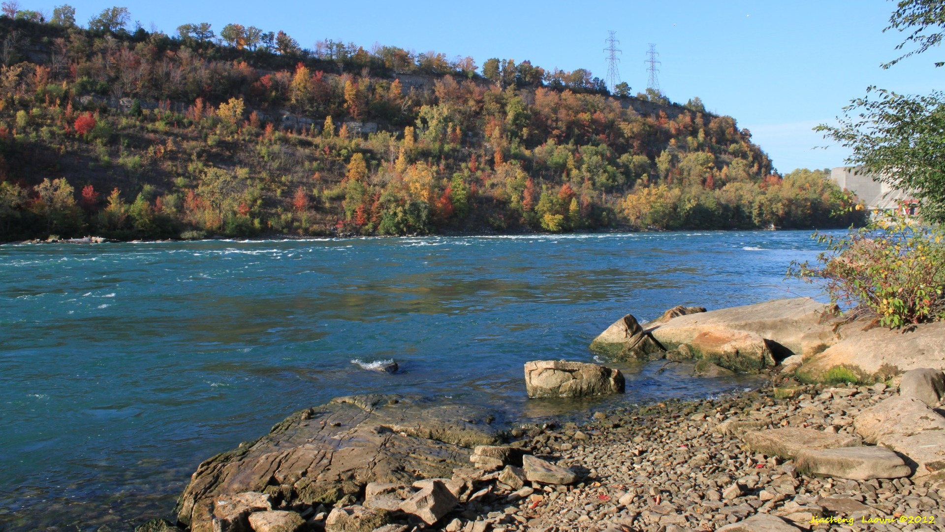
(2) Devils Hole State Park
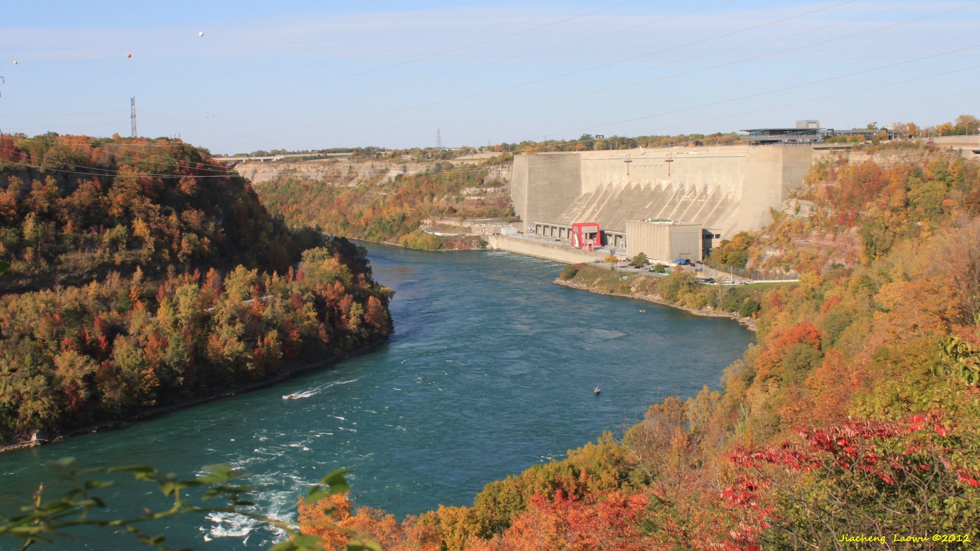
P4 The rapids around Devils Hole (2010), the Hydropower Station is in background
P5 The bottom of the river (2010)
(3) Niagara Power Project
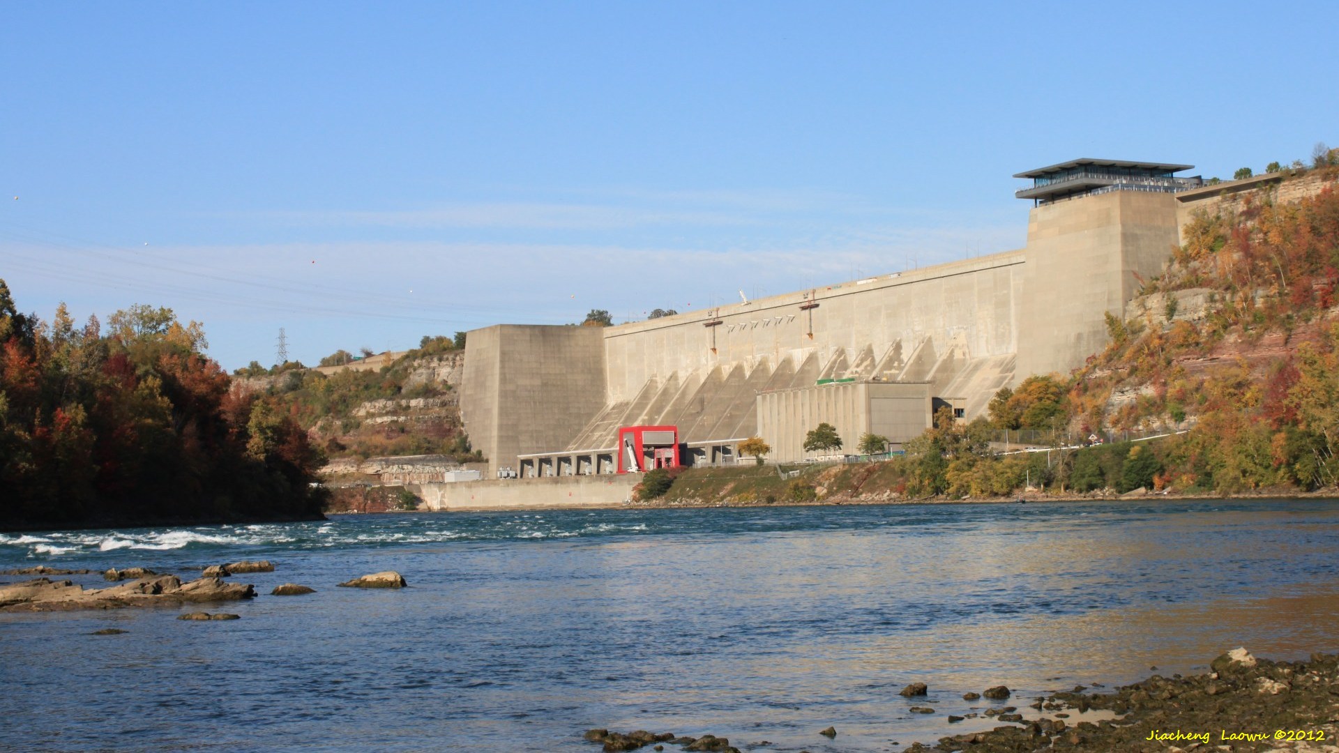
P6 The dam of the Hydropower Station (2008)
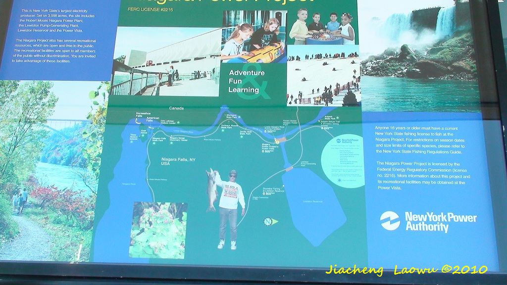
P7 The tourist map around the Hydropower Station (2008) inside the Visitor Center
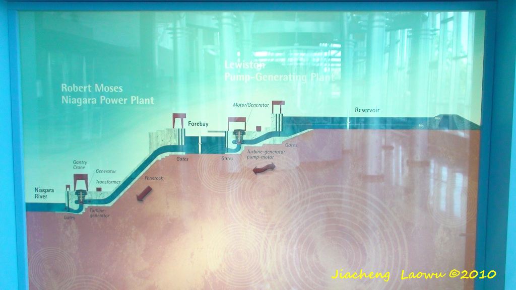
P8 Illustrative diagram of the Hydropower Station (2008) inside the Visitor Center
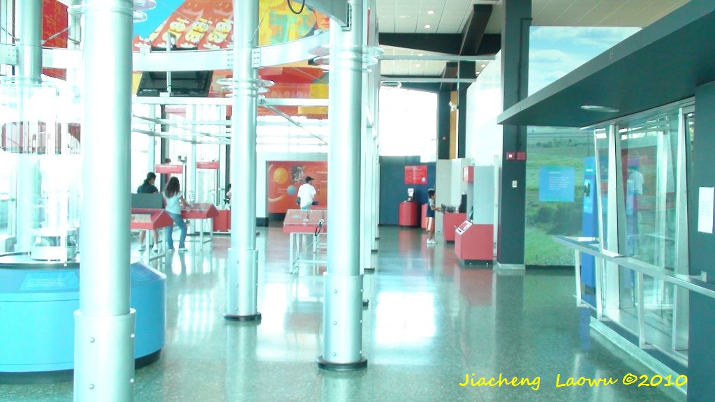
P9 Intactive devices inside the Visitor Center
Revisit Upstate NY 1: Lakes and Falls