Current Path: Home / Travel / USA / West / USSW2019-07
Southwest US Travel 2019 (7) - Big Bend National Park
Changde Wu 2020-03-09
Southwest US Travel 2019 (6) - Big Bend National Park
Big Bend National Park is located in the southwest of Texas, where big river i.e. Rio Grande,
makes a 90 degree turn from SE to NE direction. The area is remote from any noticeable US city,
and virtually no accommodating nearby. Based on the images from the internet,
we were not impressed by the scenery offered by the park and almost decided skip this park.
It turned out that the visiting is worthy, and the scenery is really fantastic.
We spent 2 days in the park, visited the northern and eastern part the first day, stayed at a cottage in Terlingua over the night,
continued visiting western part the next day.
(1) Northern and Eastern Portion
We drove over the dirt road for a glimpse of Dagger Flat, then stopped at Fossil Discovery Exhibit in the north.
After a short stop at Panther Junction Visitor Center, we headed to Rio Grande Village along Park Rte 12.
Starting from Fossil Discovery Exhibit, the boring desert was replaced with distant mountain peaks,
and the scenery became more amazing. The hill top on Rio Grande Village Nature Trail is such good a place to view
the river and the mountains.
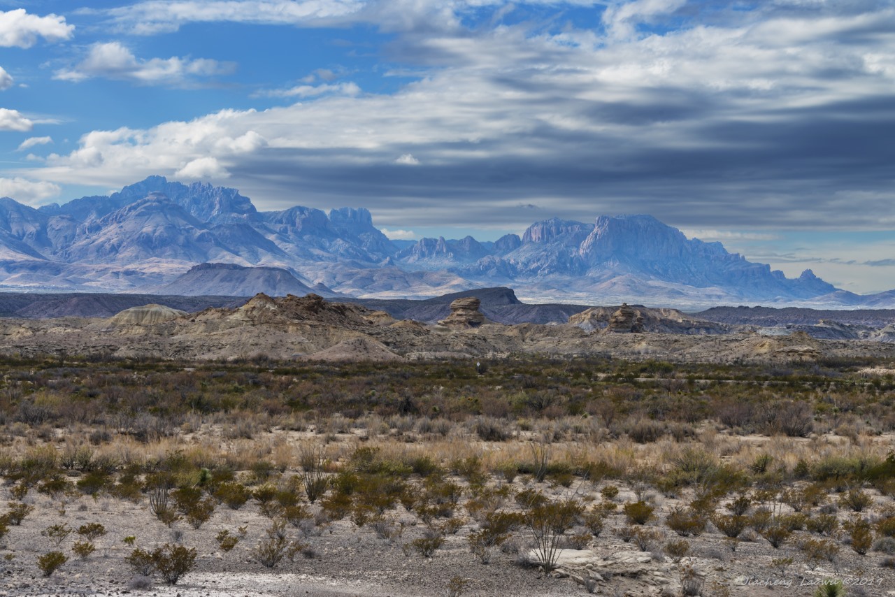
P1 The distant mountains to the south around the Fossil Discovery Exhibit.
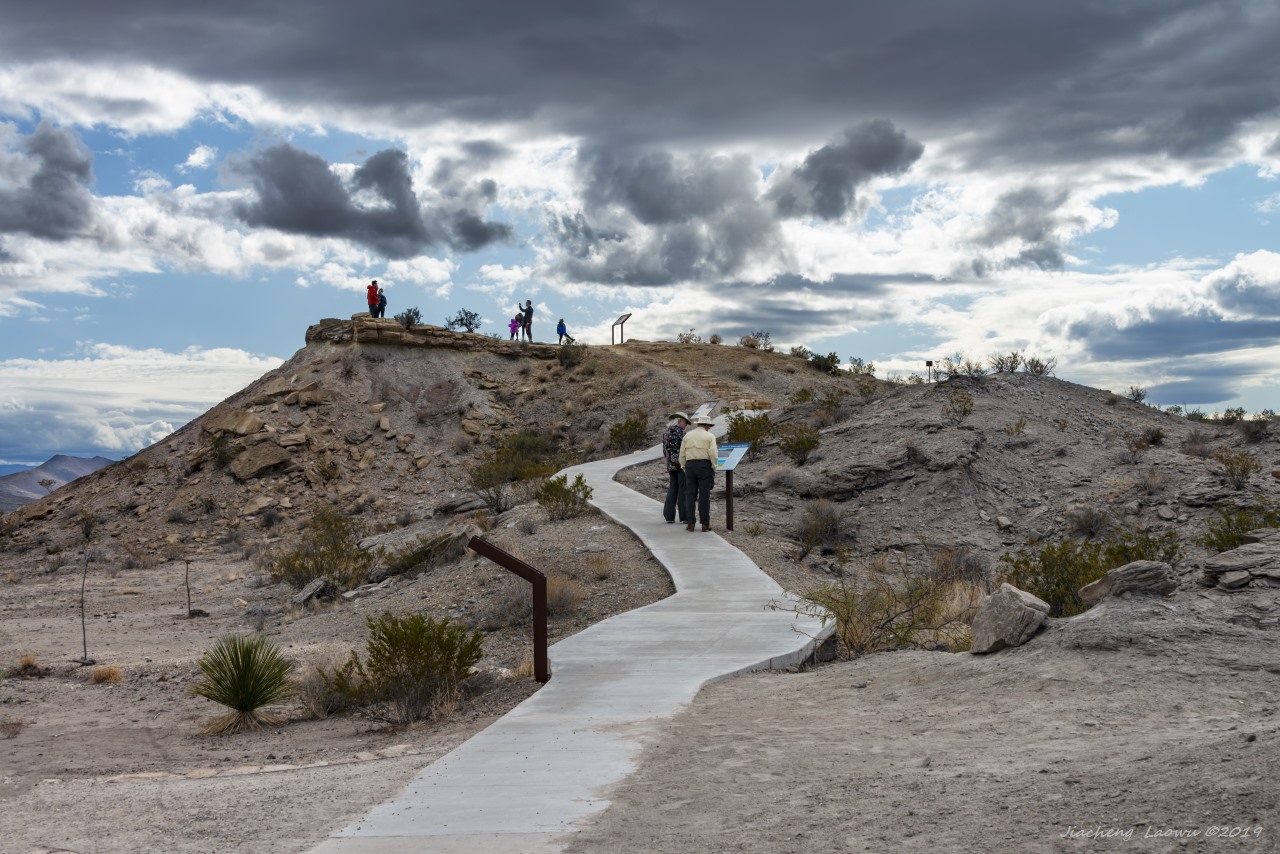
P2 The hill at Fossil Discovery Exhibit, where a lot of Mesozoic mammal fossils were discovered
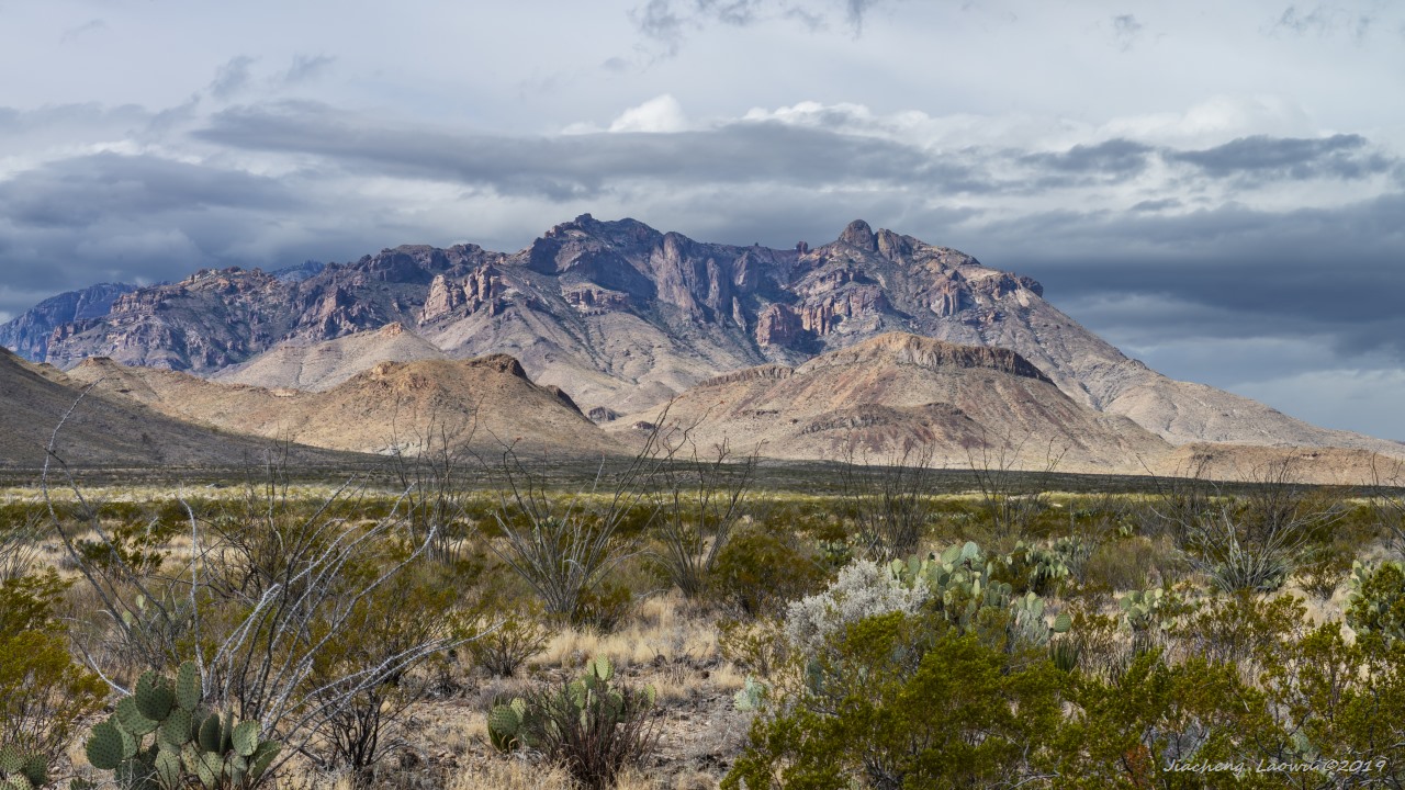
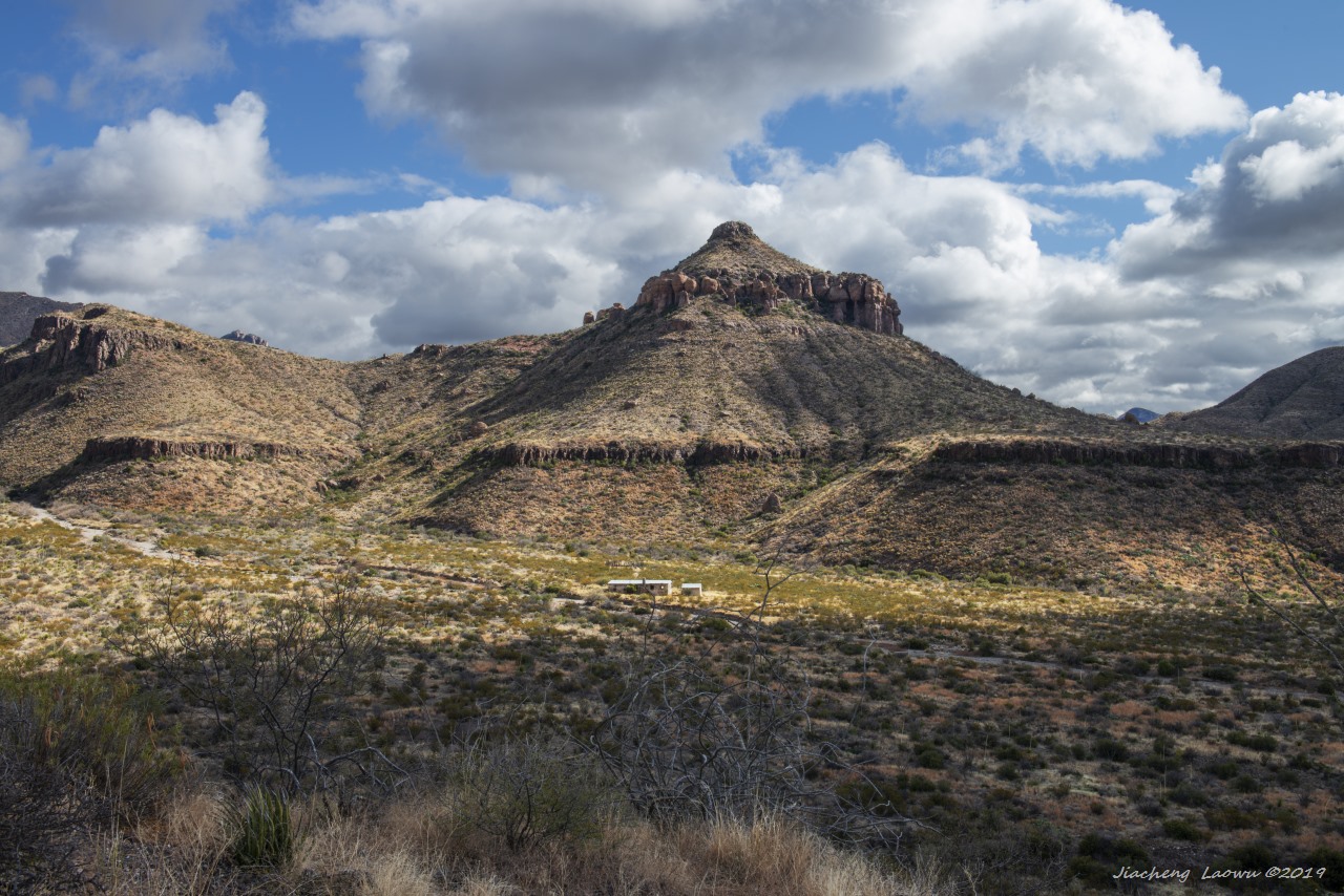
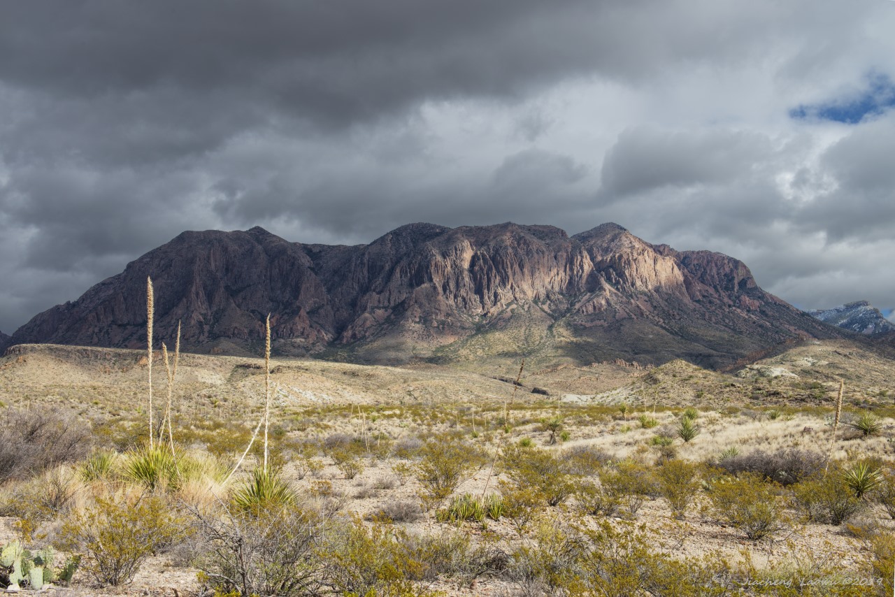
P3 The mountains behind Panther Junction Visitor Center
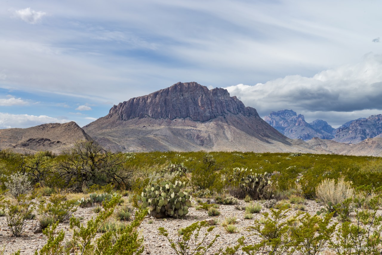
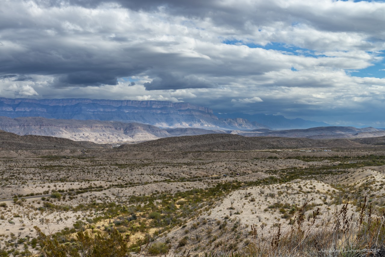
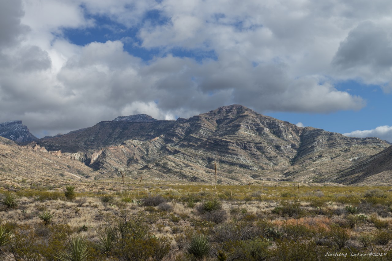
P4 The green dry land and the mountain
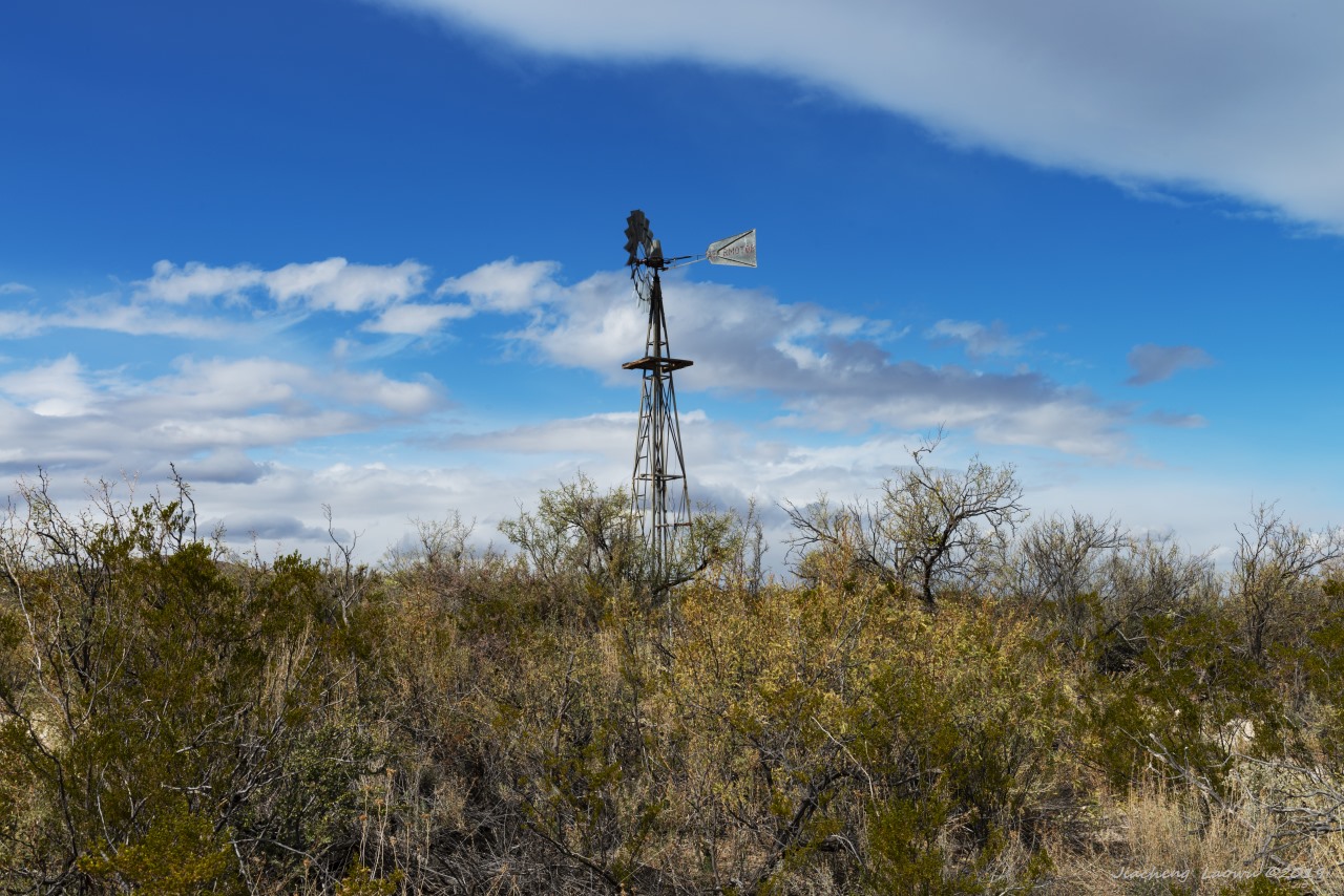
P5 Windmill at Dugout Well. It is not a toy, instead a smart idea to pump the water out of the well.
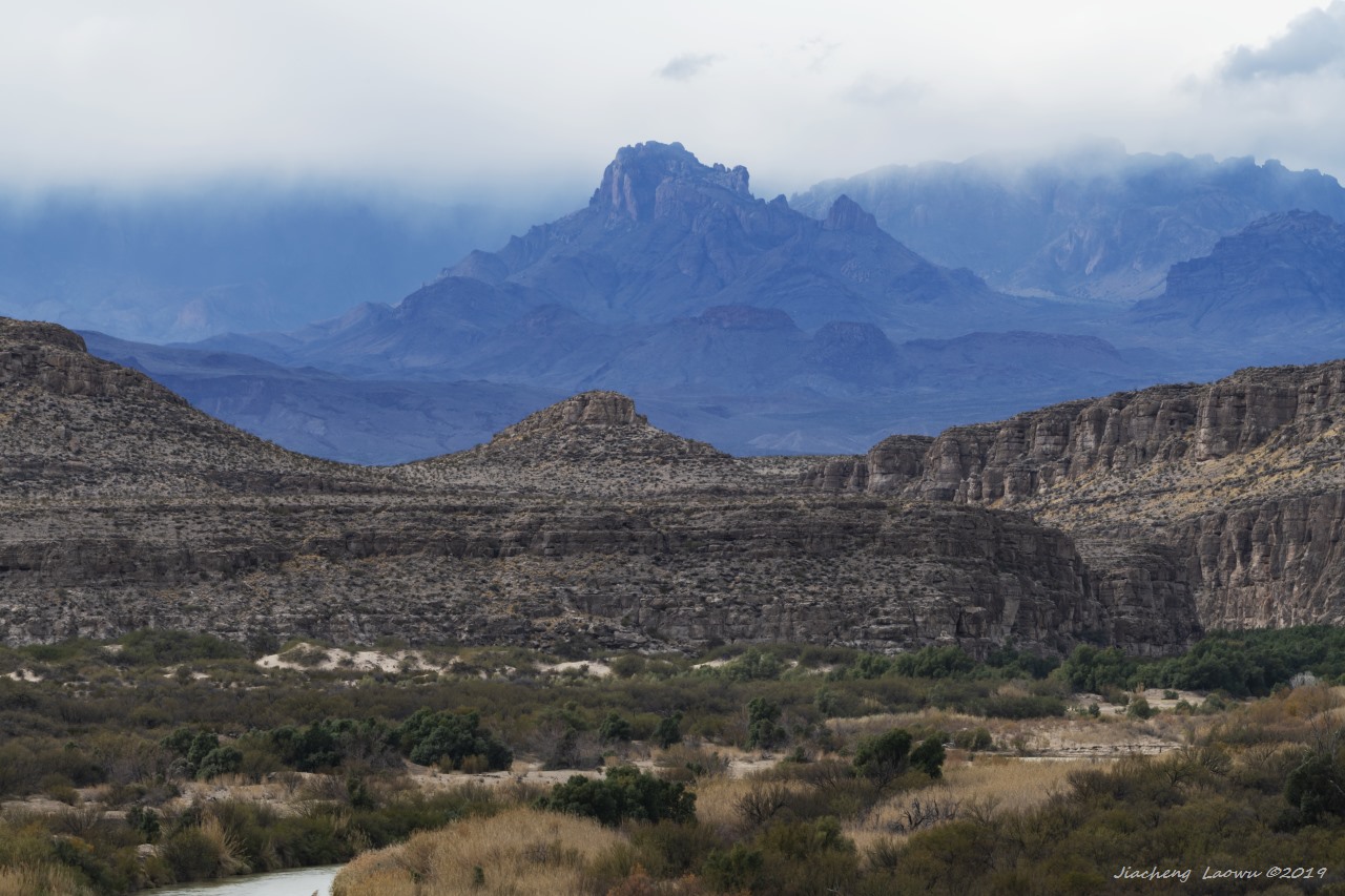
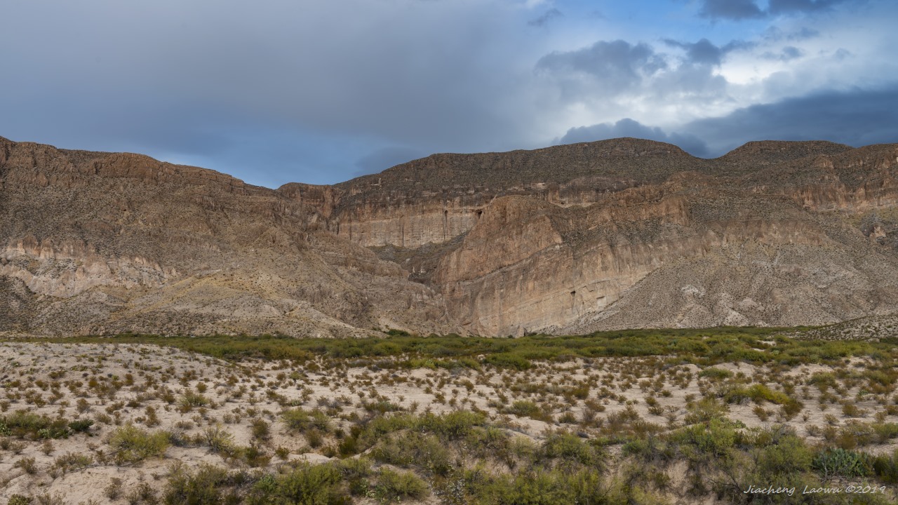
P6 Viewed from Rio Grande Overlook, the mountains behind the Rio Grande river in Mexico.
P7 Viewed from Rio Grande Village Nature Trail, the river, canyon and the mountains in the background.
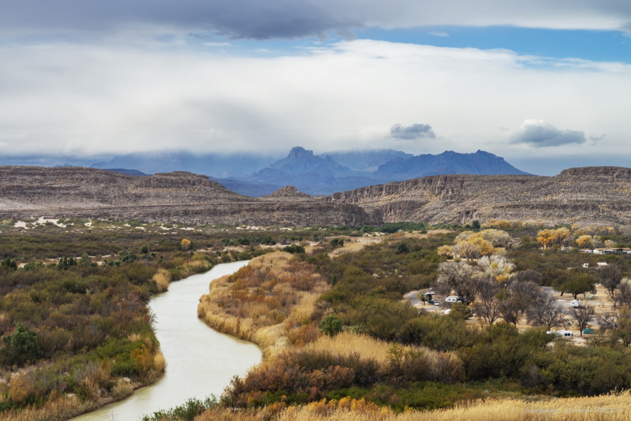
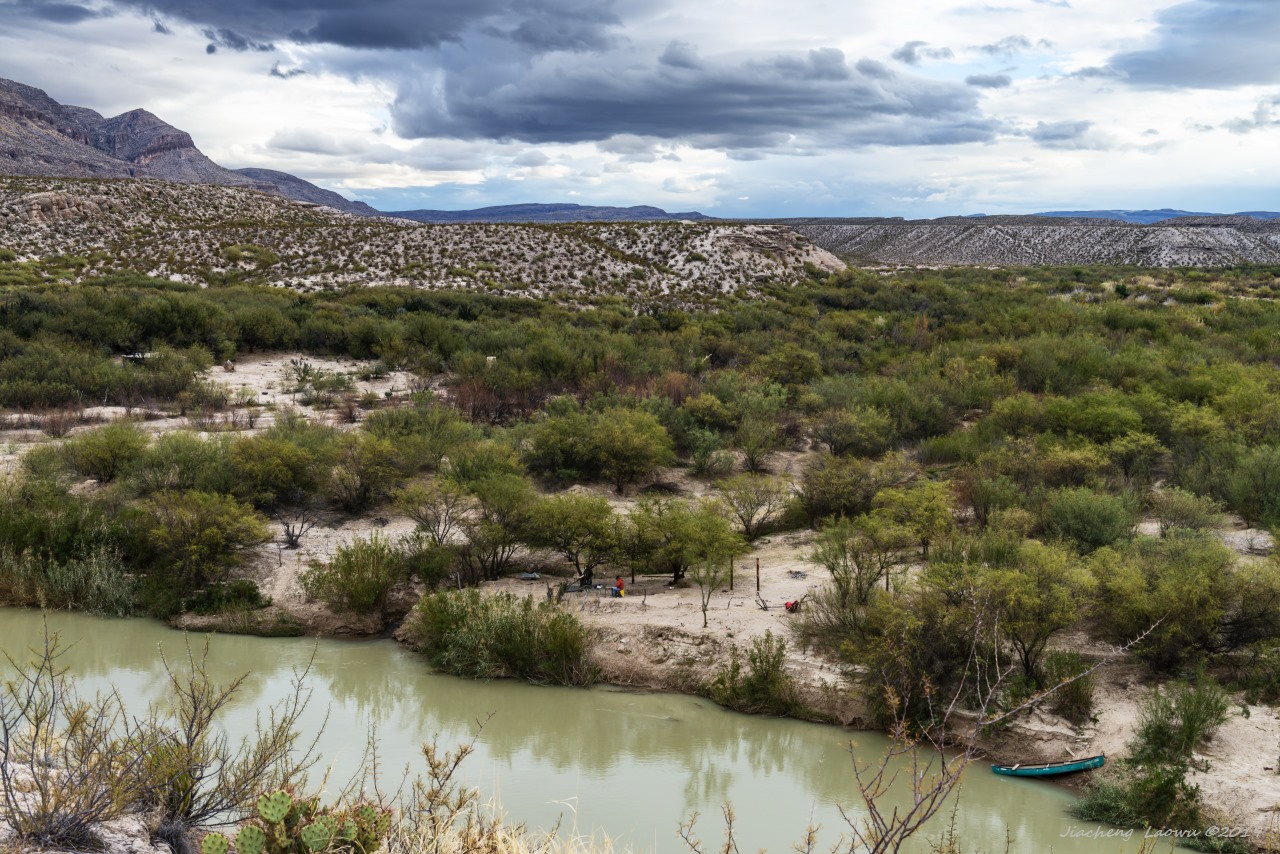
P8 Rio Grande river, Rio Grande Village Campground, and the mountains in background
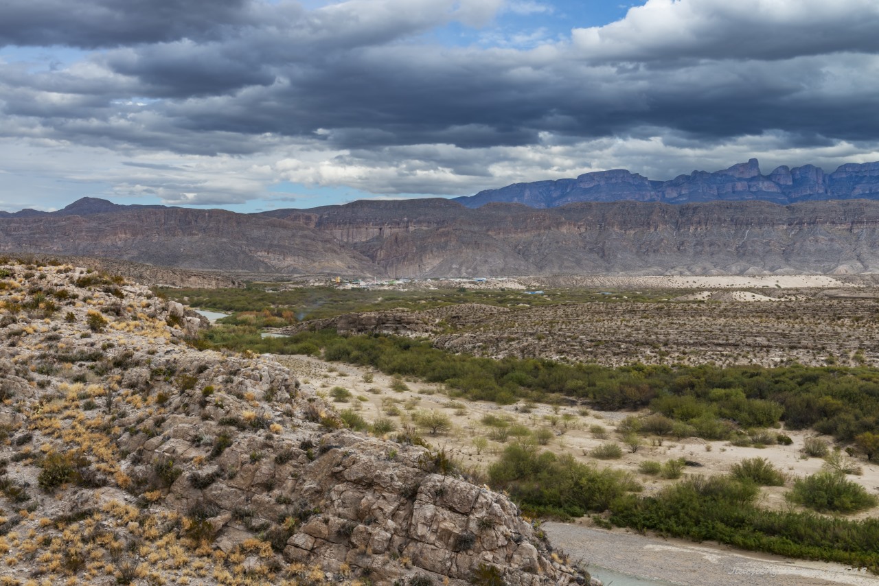
P9 Mexico village Boquillas del Carmen over the other side of the river (in middle)
P10 The cliff in the mountain front and the Boquillas Canyon in the middle
P11 Mexico over the other side of the river
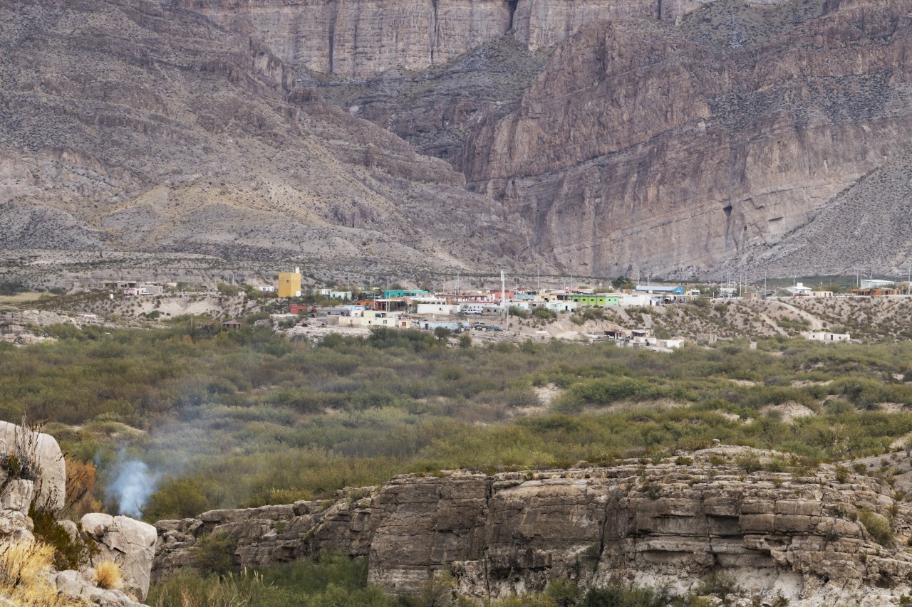
P12 A close look at Mexico village Boquillas del Carmen
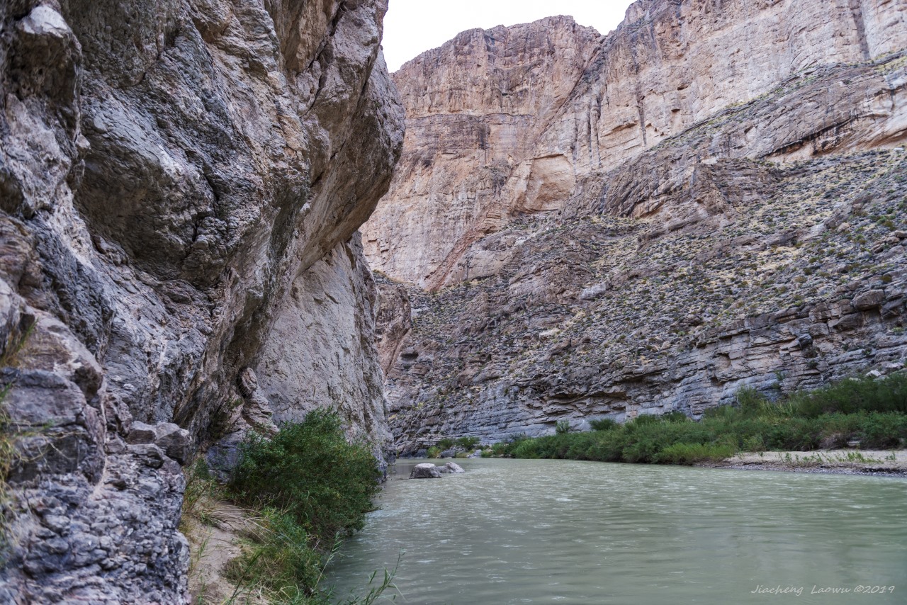
P13 Boquillas Canyon
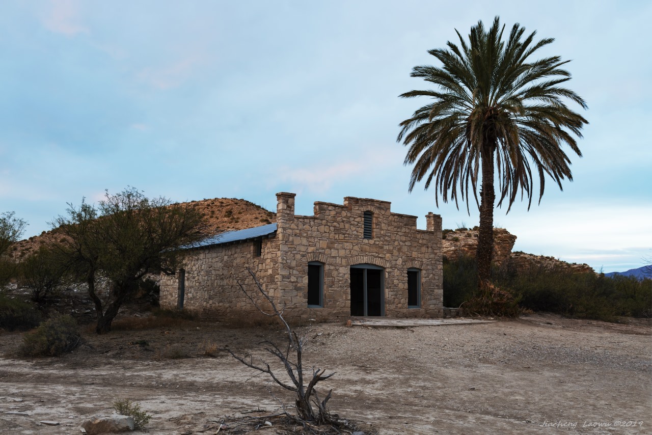
P14 Abundant house in Hot Springs Historic area
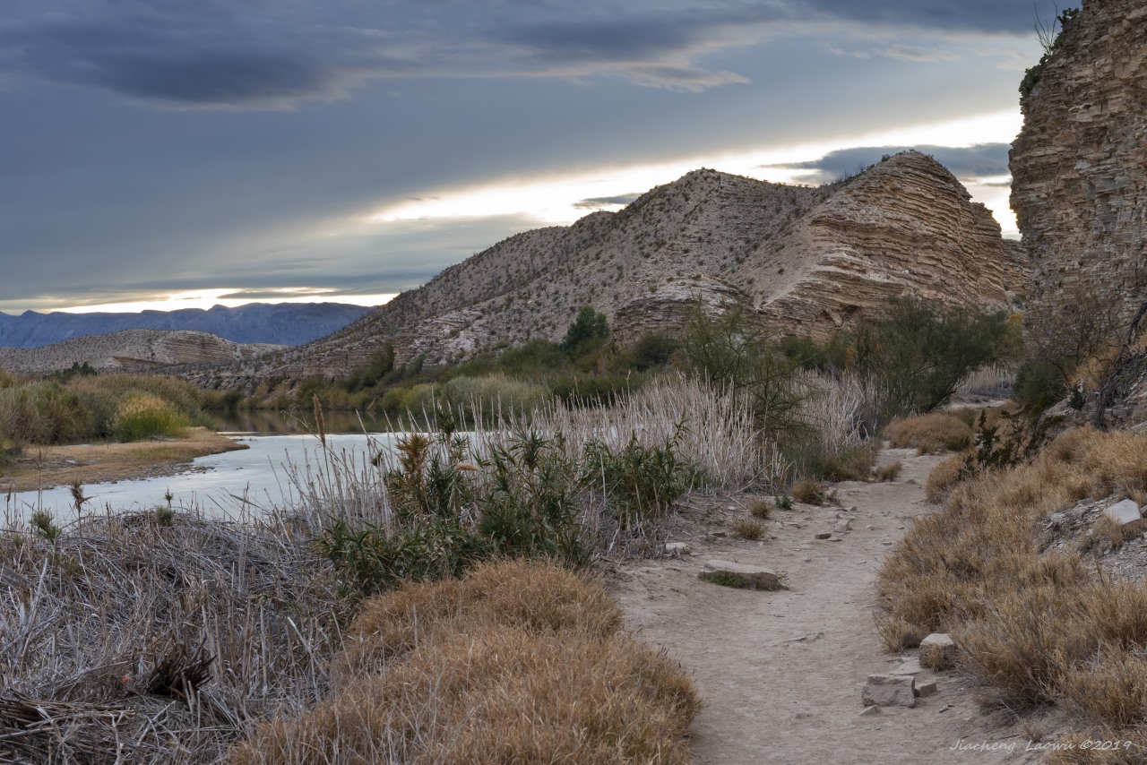
P15 The dusk at Hot Springs Historic Trail
(2) Western Portion
We started the journey of western part visiting by taking Old Maverick Road from Terlingua to Santa Elena canyon,
then taking Ross Maxwell Scenic Dr to Chisos Basin. This scenic road is really about the scenery and history,
the road to Chisos Basin is even surprisingly beautiful.
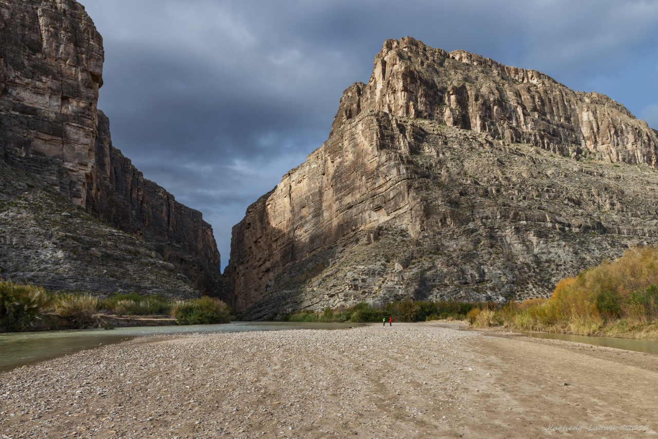
P16 Rio Grande river and Santa Elena canyon
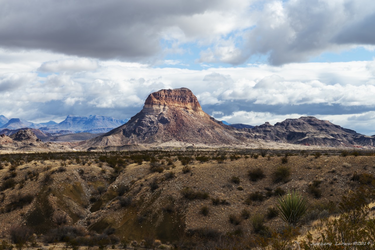
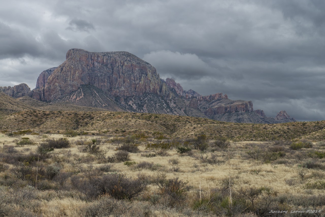
P17 Castolon Peak (Cerro Castellan), colorful hill book keeping the million years of volcanic activity
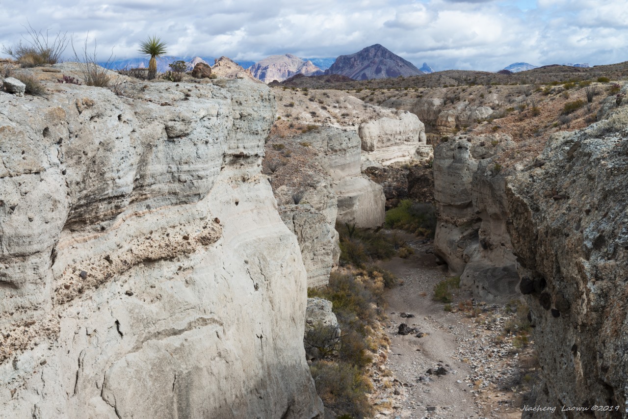
P18 Tuff Canyon
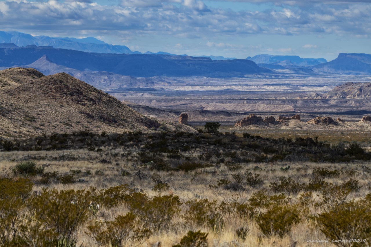
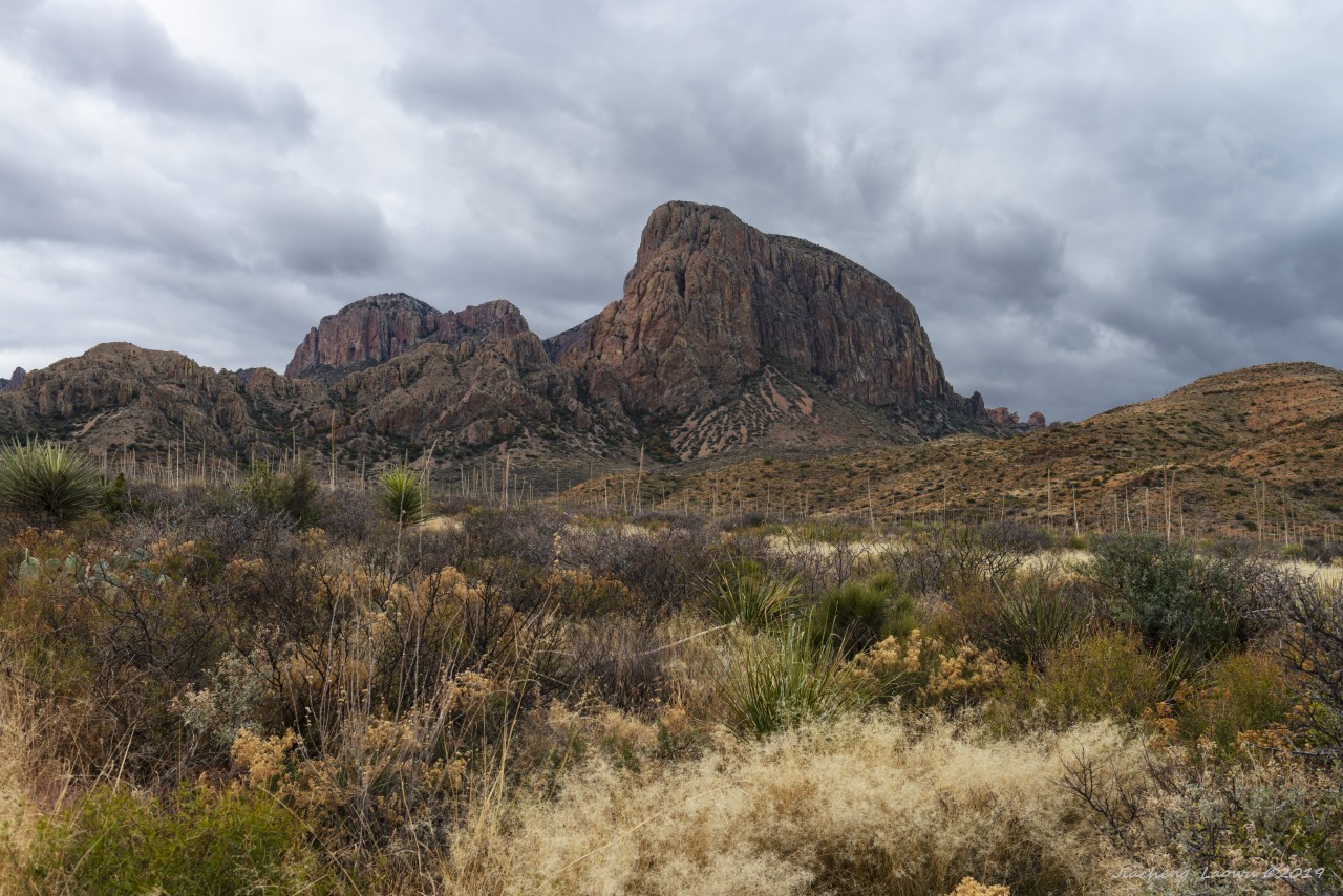
P19 Over view of the chimney rock (middle)
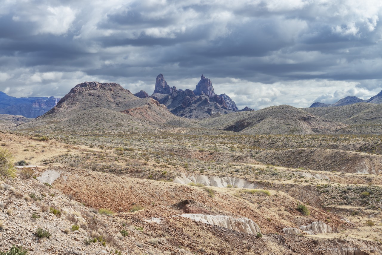
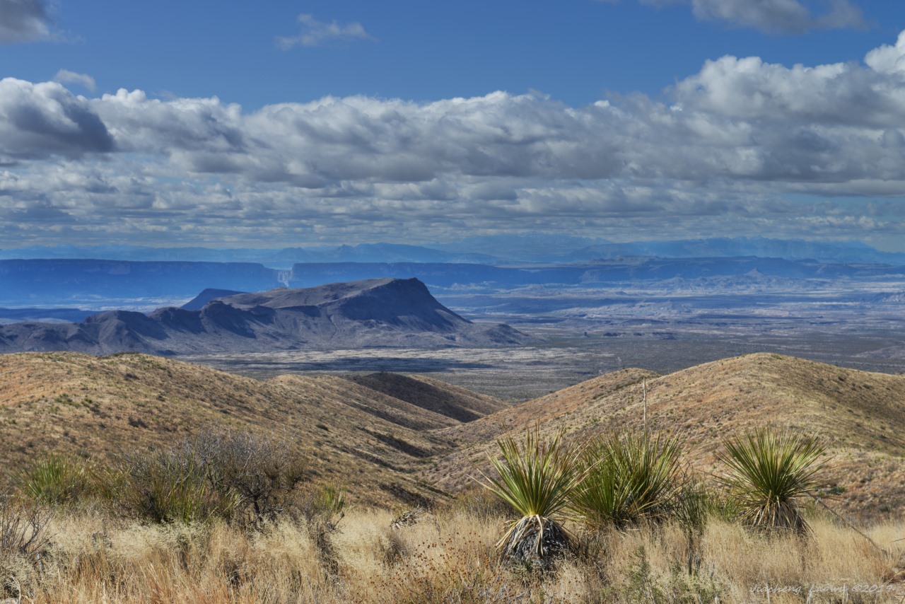
P20 The desert and the mount peaks in background
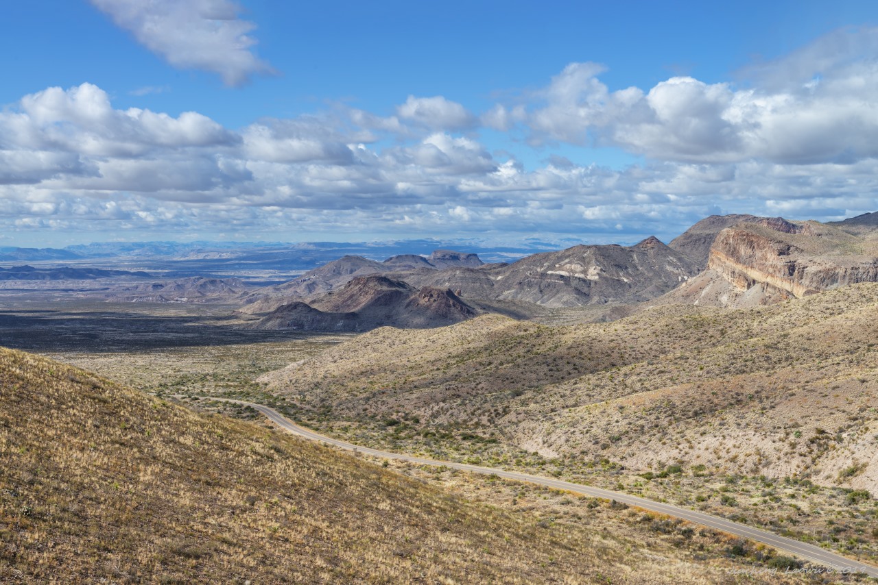
P21 The scenery around Sotol Vista Overlook
P22 The View of Santa Elena canyon direction from Sotol Vista Overlook
P23 Homer Wilson Ranch
P24 Blue creek canyon upper stream direction around Homer Wilson Ranch
P25 Steep mountain front
P26
P27 The mountains on the north side of Chisos Basin
P28 The mountains on the north side of Chisos Basin 2
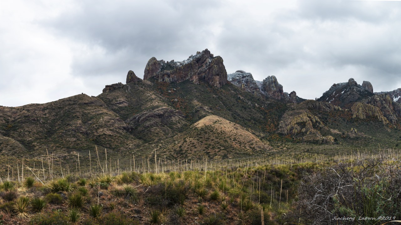
P29 The mountains on the north side of Chisos Basin 3
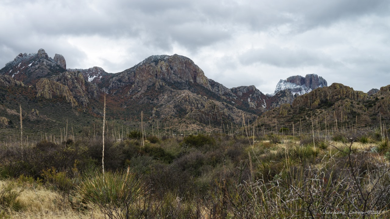
P30 The mountains near Lost Mine Trail
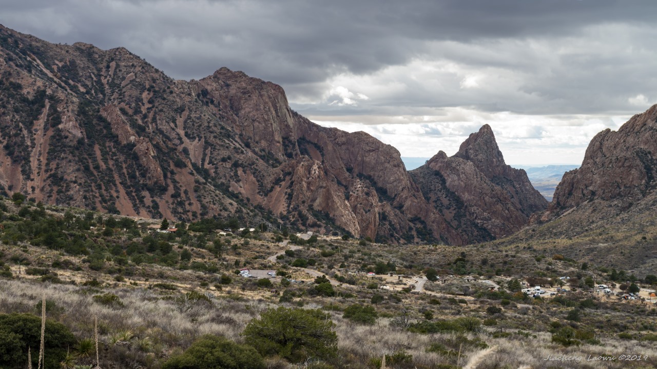
P31 The southern end of Chisos Basin
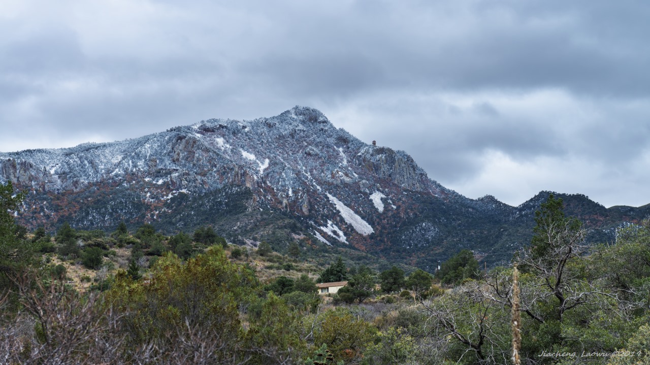
P32 The fresh snow covered mountains from Chisos Basin

Southwest US Travel 2019 (6) - Carlsbad and Guadalupe Mountains National Park