Canadian Rocky 2016 (9) - Air photos during travel
Changde Wu 2016-10-23
Canadian Rocky 2016 (9) - Air photos during travel
During my family Banff trip of 2016, we had 2 stops at Toronto and Winnipeg on the way to Calgary, 1 stop at Toronto on the way back home at Boston. I had chance taking some photos from the airplane.
(1) Air photoes between Boston and Toronto
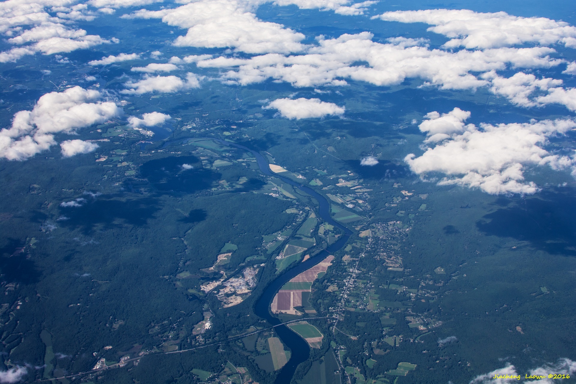
P1 Connecticut River, the T shaped junction in the middle of lower part is the junction of Rt. 10 and Rt. 63 in Northfield, MA, the North in up Direction
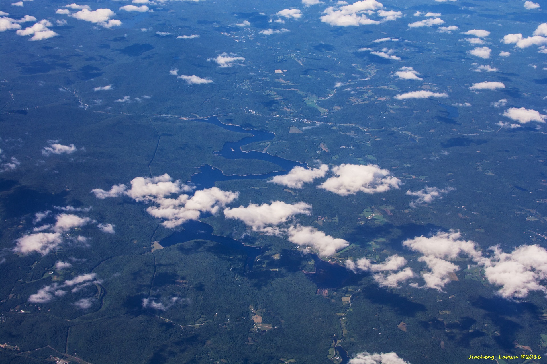
P2 Harriman Reservoir, VT, the North in up Direction
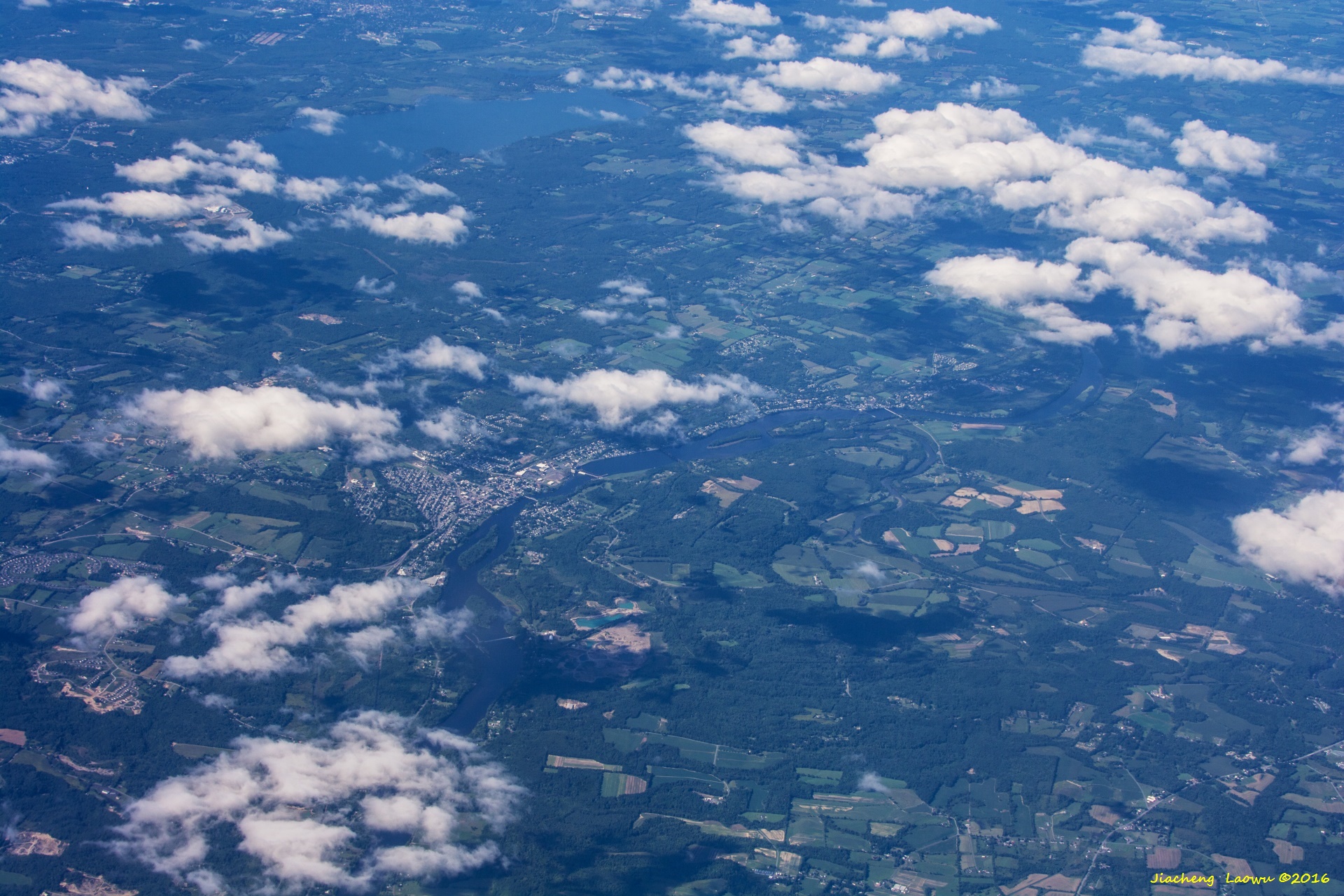
P3 Mechanicville NY, the lake in top-left is Saratoga Lake, the North in up Direction
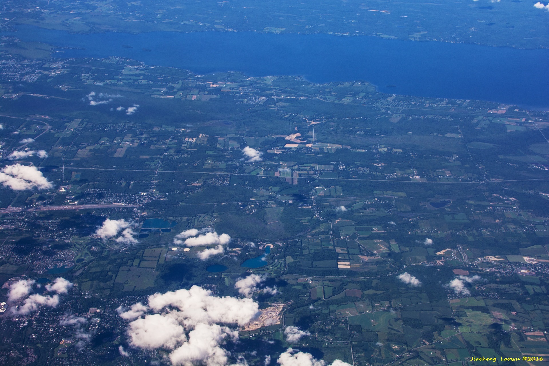
P4 Big lake in the upper is Oneida Lake, the small lake in lower middle position is Green Lake, the North in up Direction
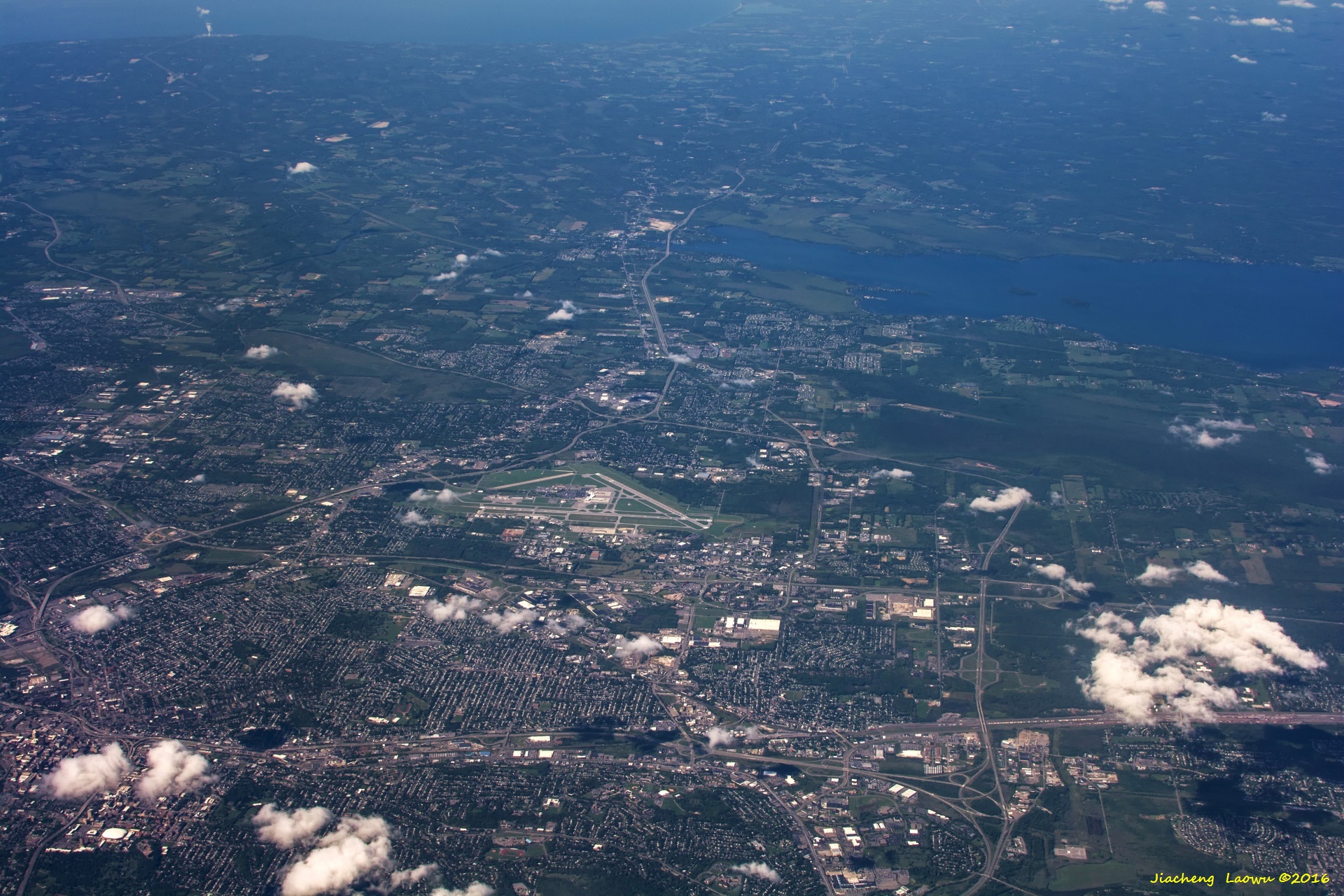
P5 Oneida Lake and Syracuse airport, the North in up Direction
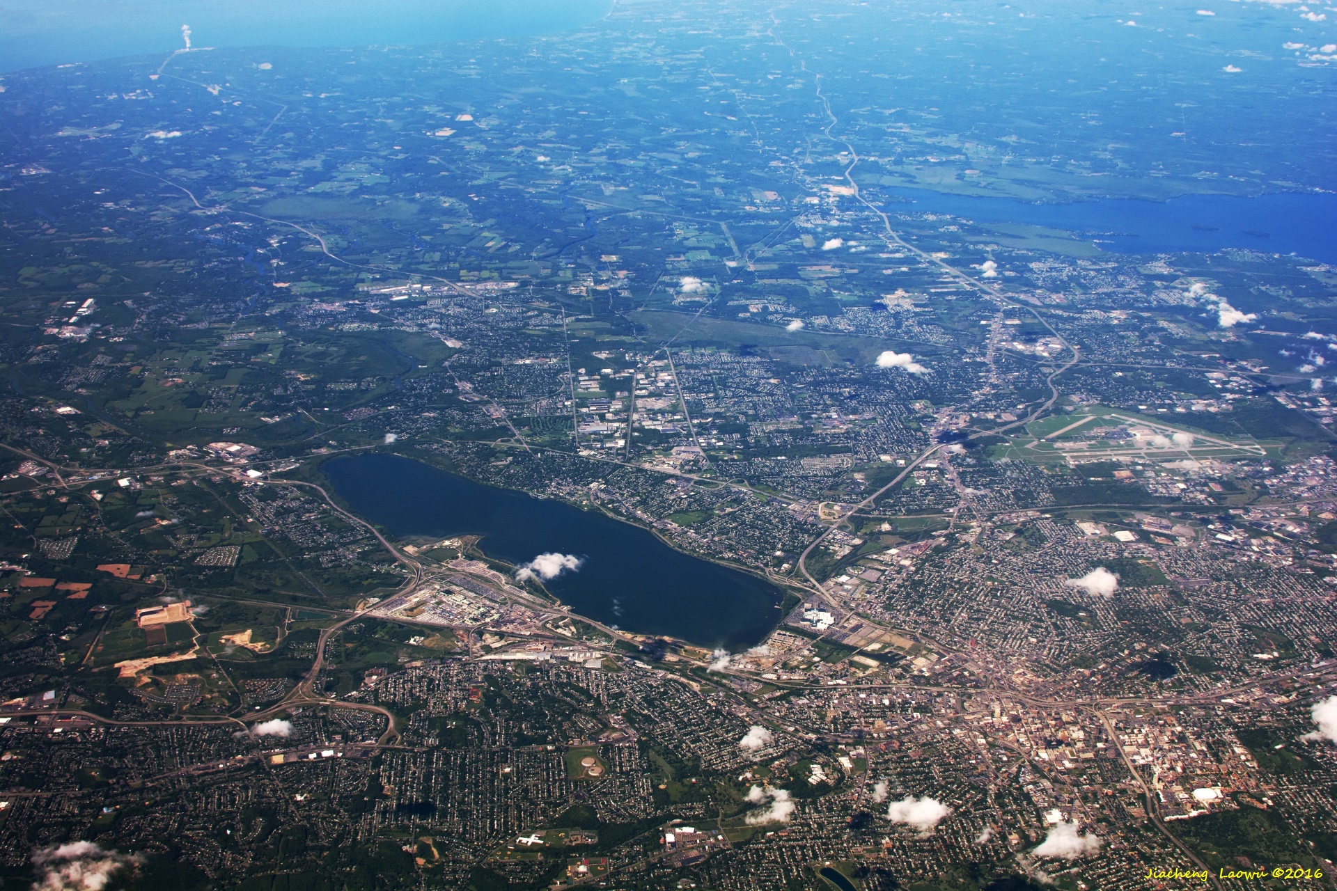
P6 Syracuse in lower-right and Onondaga Lake just below the center, Carrier Dome in the lowerright corner, the North in up Direction
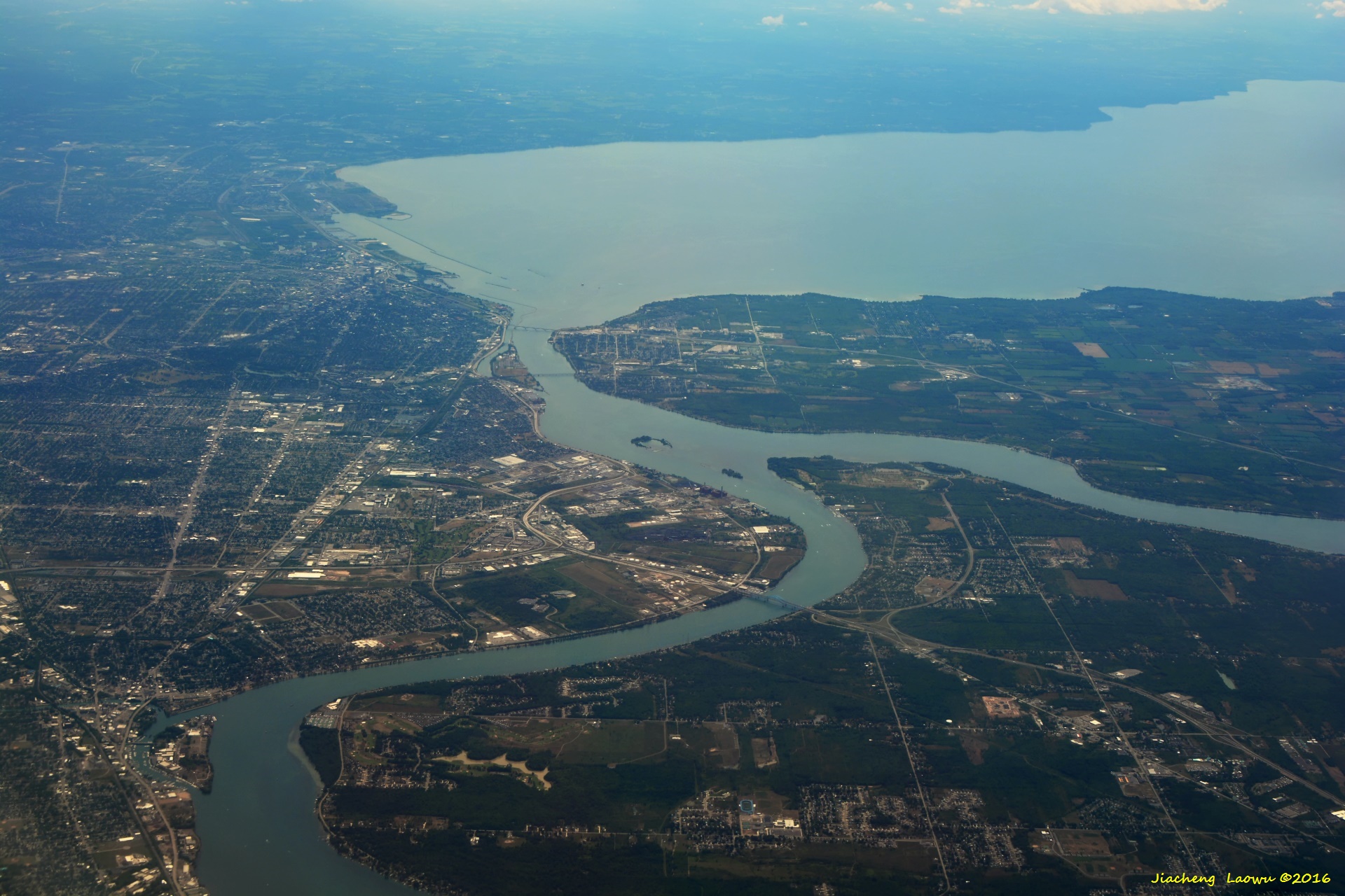
P7 Lake Erie on the upstream of Niagara Falls, Buffalo is to the left, I-190 bridge on the river, the South in up Direction
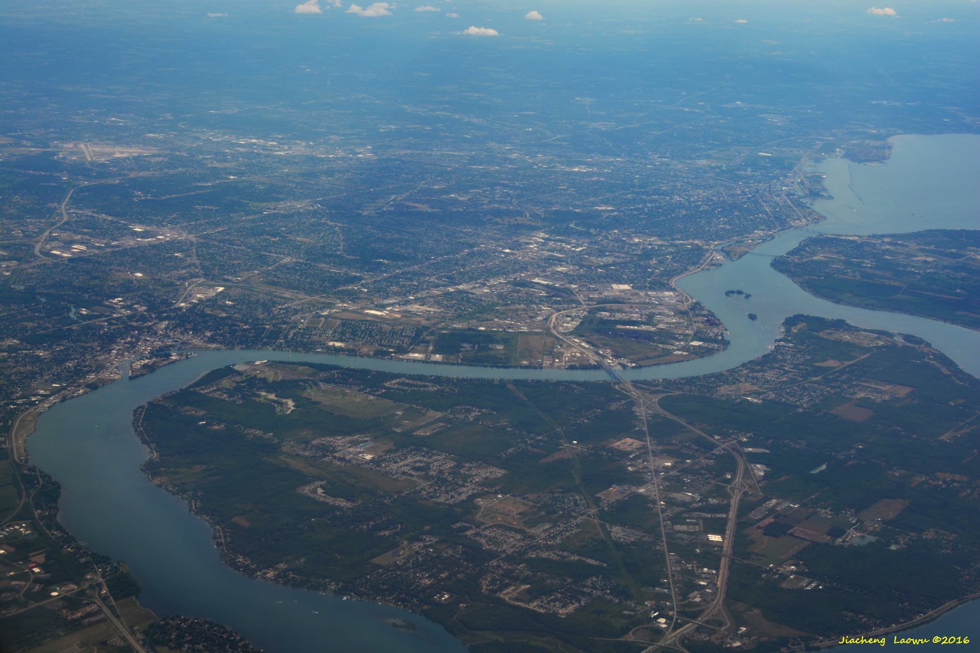
P8 Niagara Falls is out of the photo at the projected cross of the two river in lower part,the South in up Direction
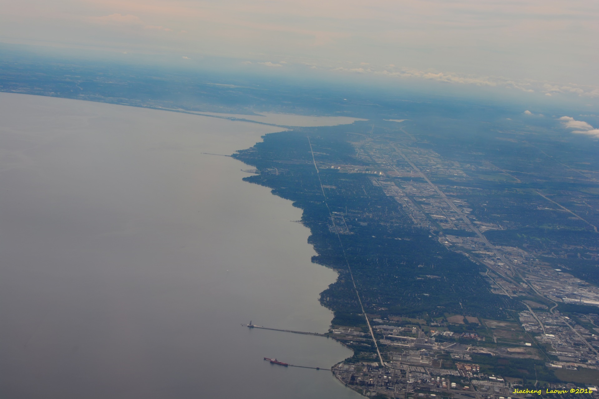
P9 South of Toronto, Hamilton on the right of the bay, the SW in up Direction
(2) Around Toronto
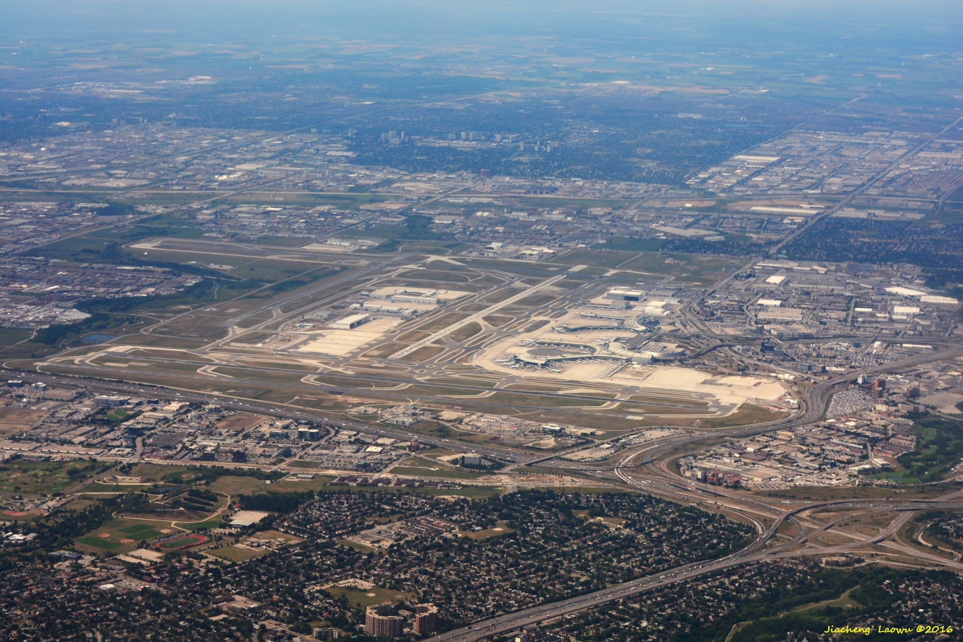
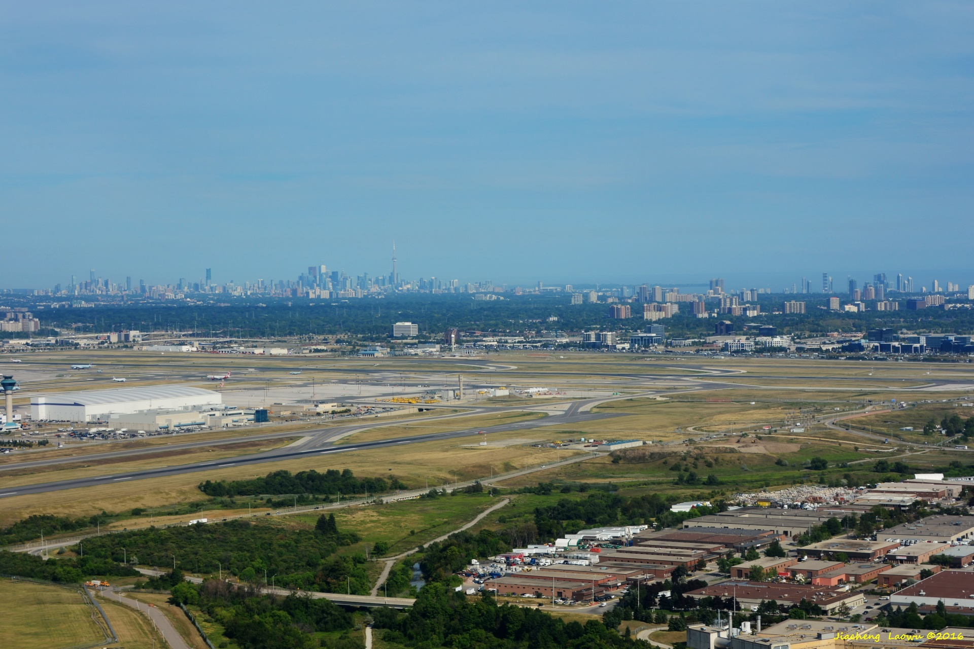
P10 Toronto Pearson International Airport, front in NW Direction
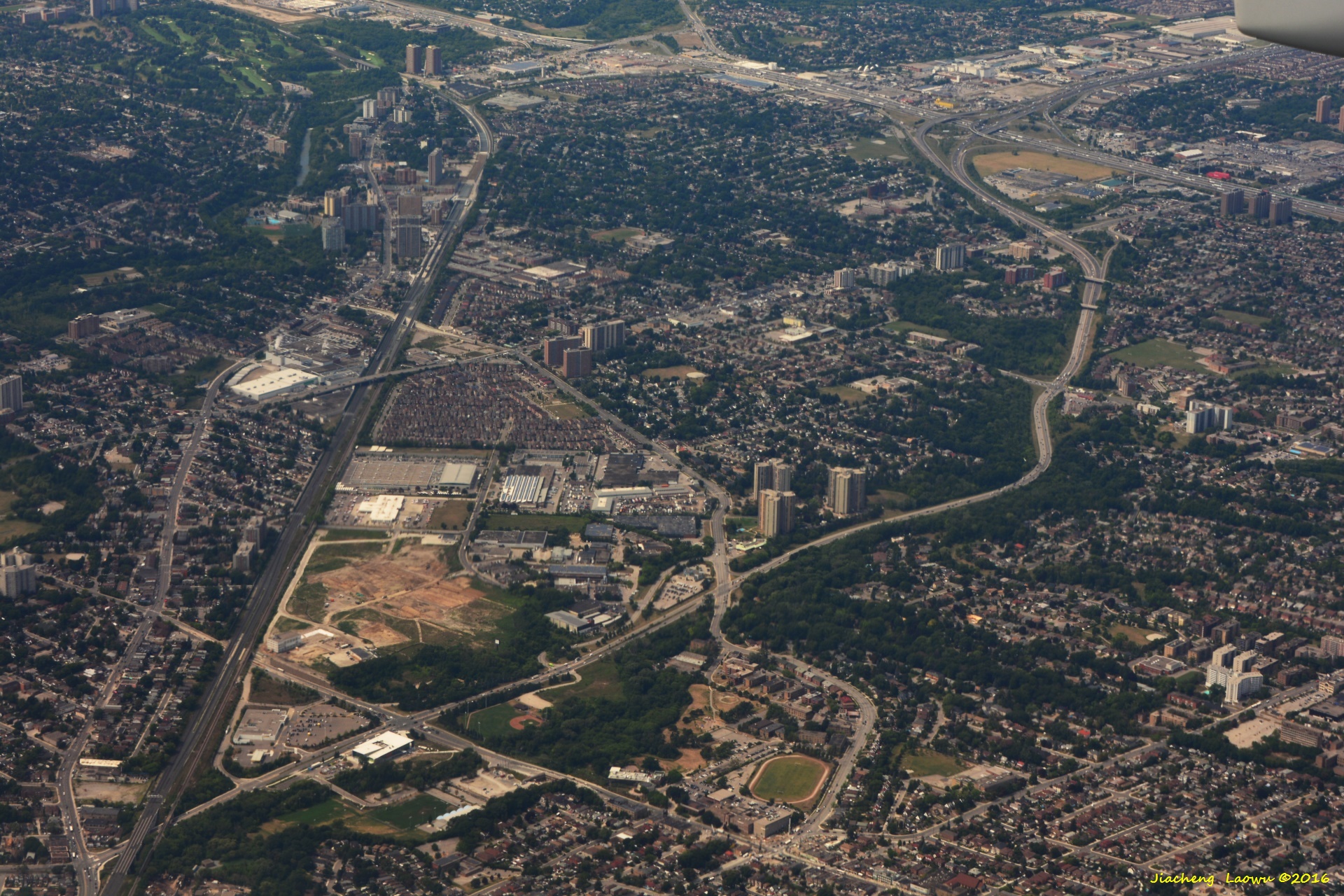
P11 Brookhaven District of Toronto, Black Creek Drive traverse the lowerleft part, front in W Direction
P12 Pearson Airport (left) under the air plane, front in NW Direction
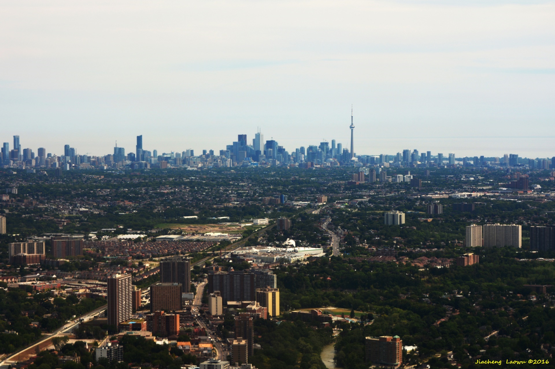
P13 Downtown Toronto, front in South Direction
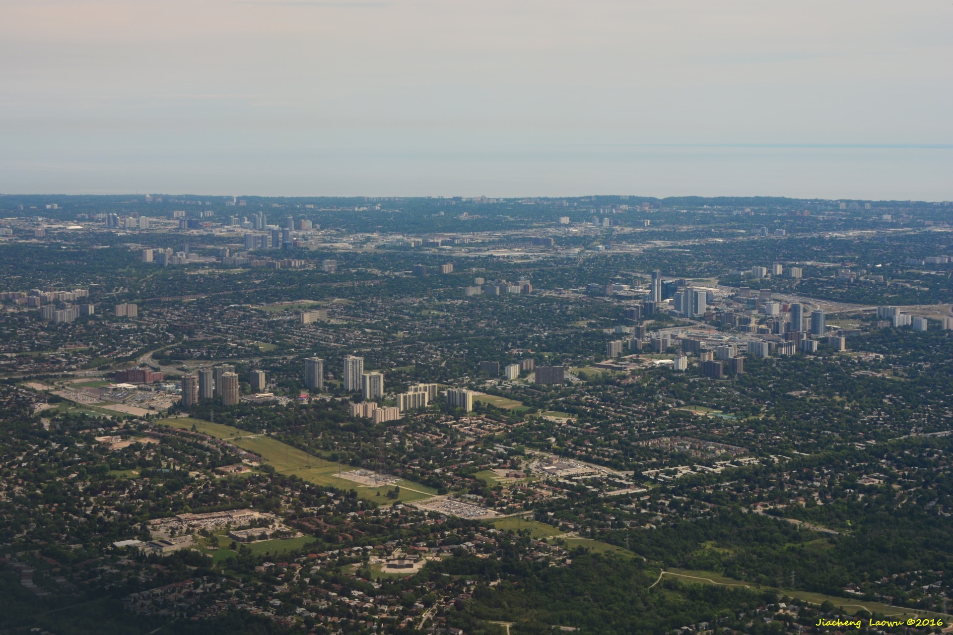
P14 The Suburbs of Toronto
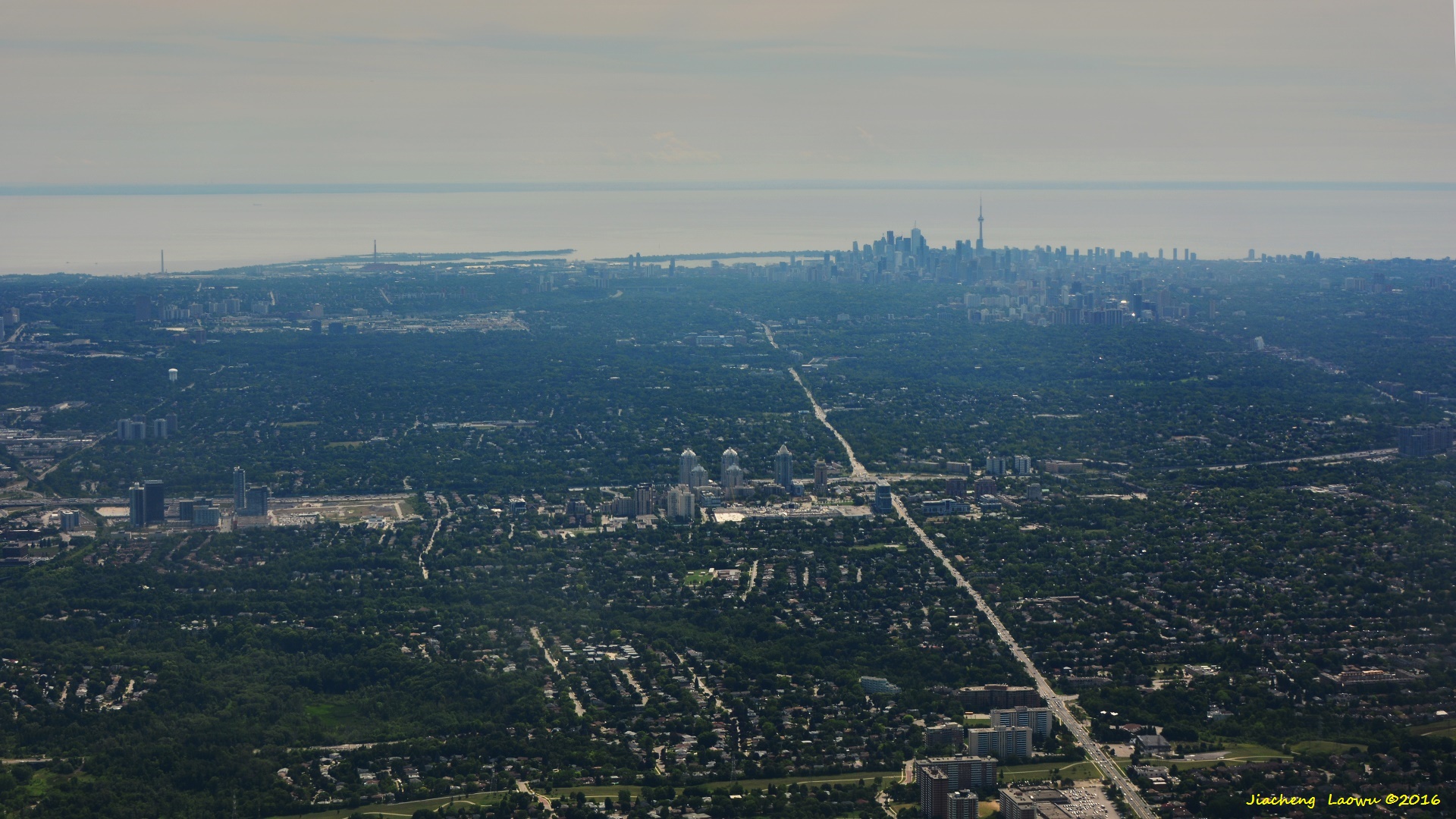
P15 Downtown Toronto,the tallest structure is CN Tower, front in South Direction
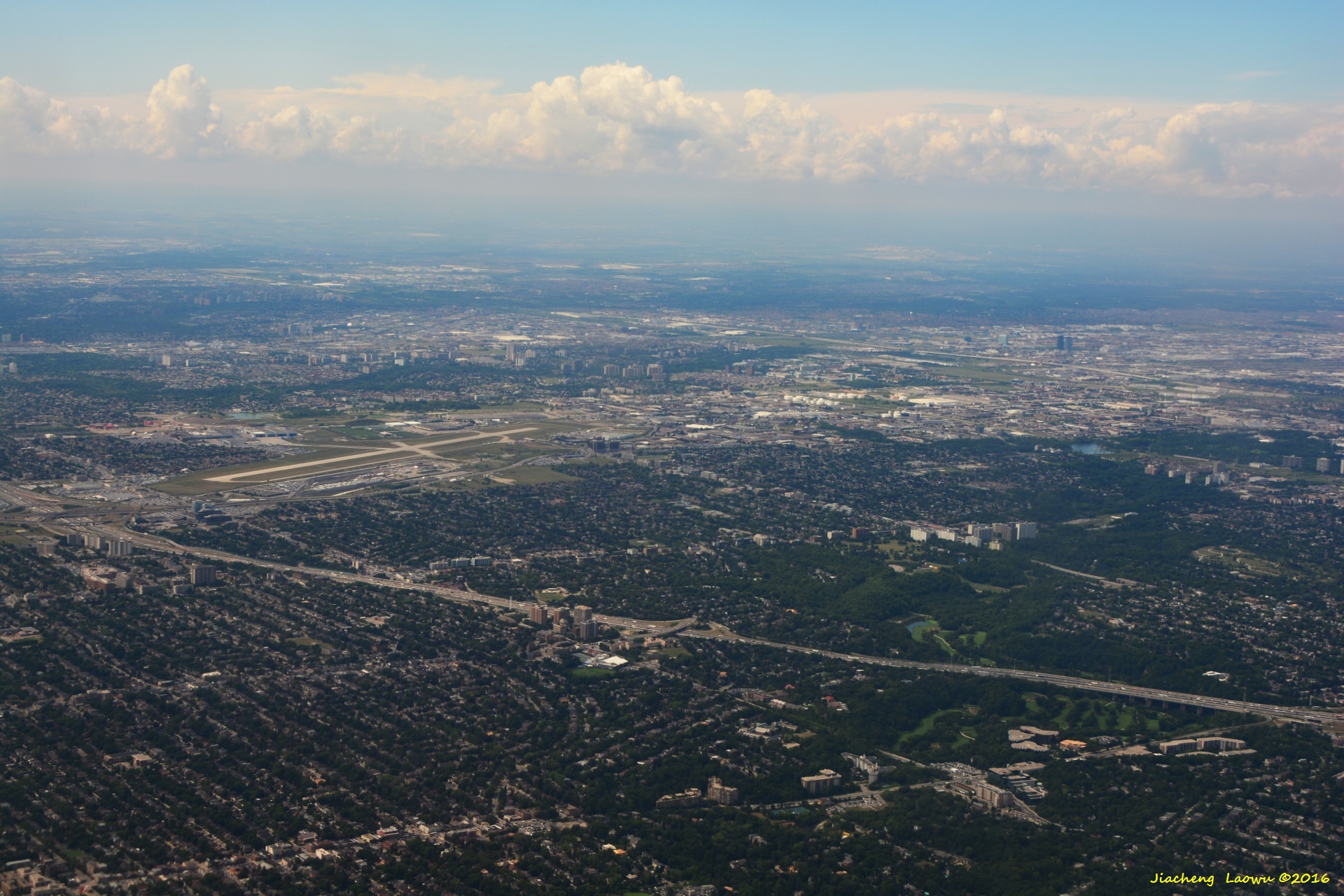
P16 Toronto Pearson International Air
P17 Toronto area from a place just taking off from the airport, front in SE Direction
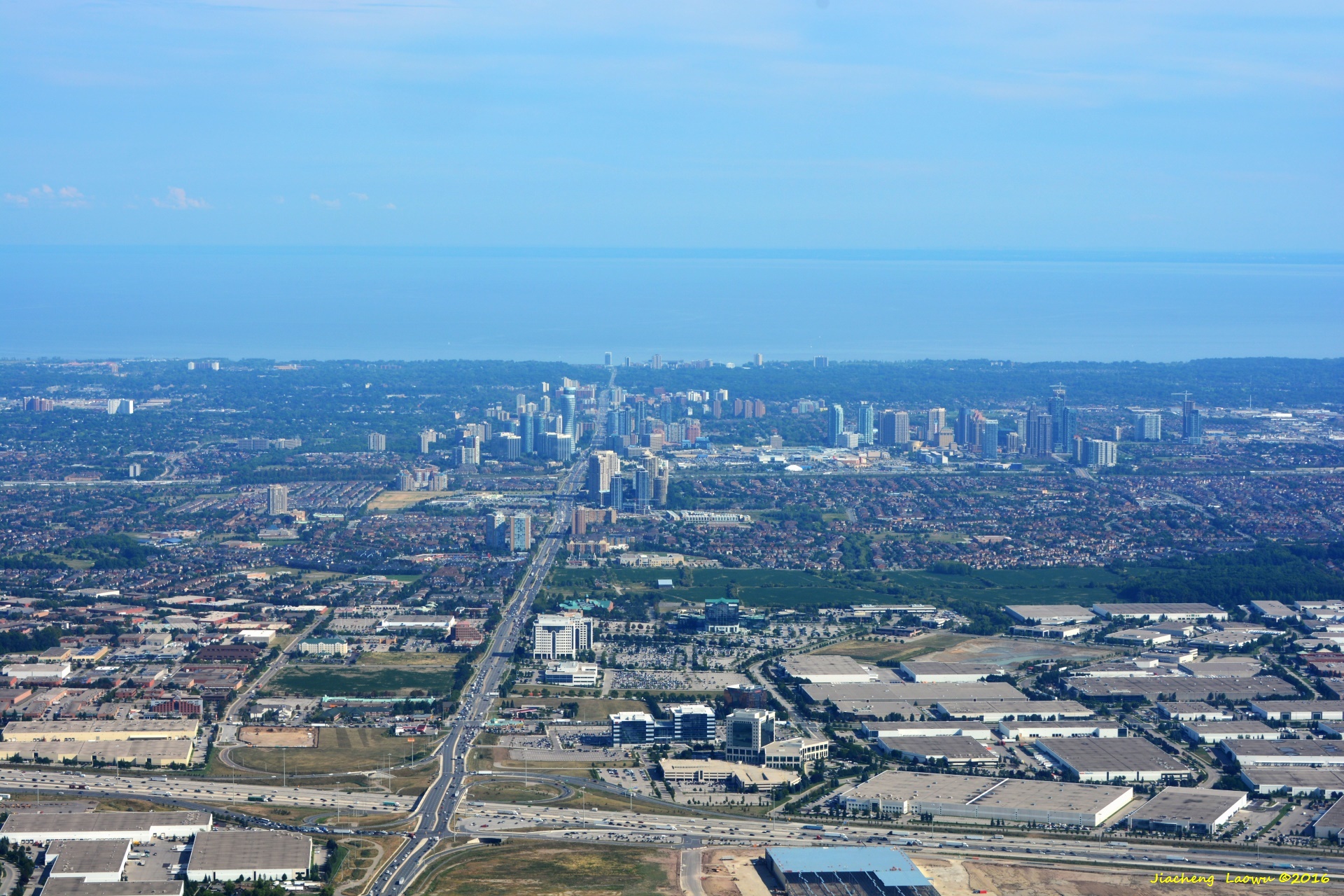
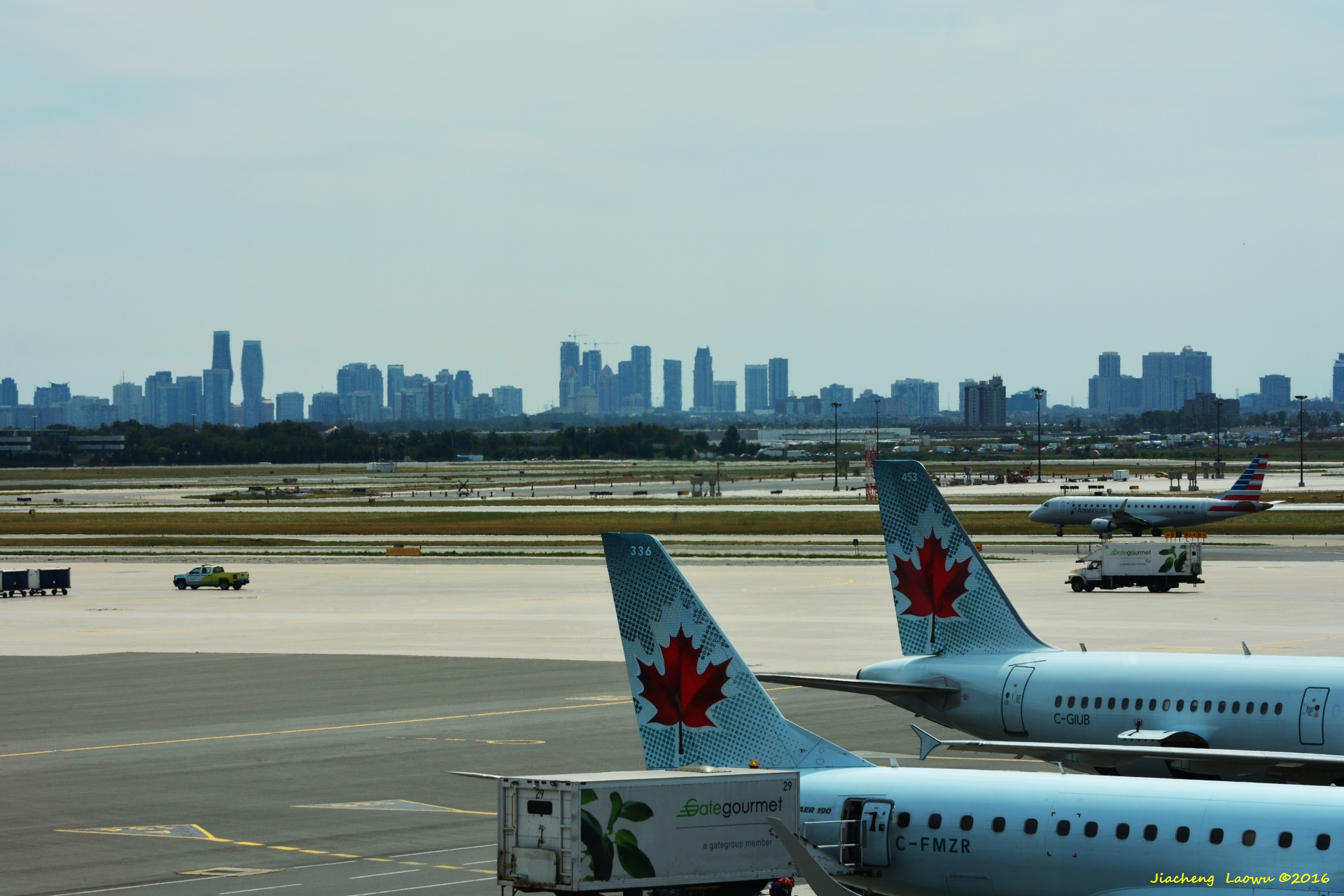
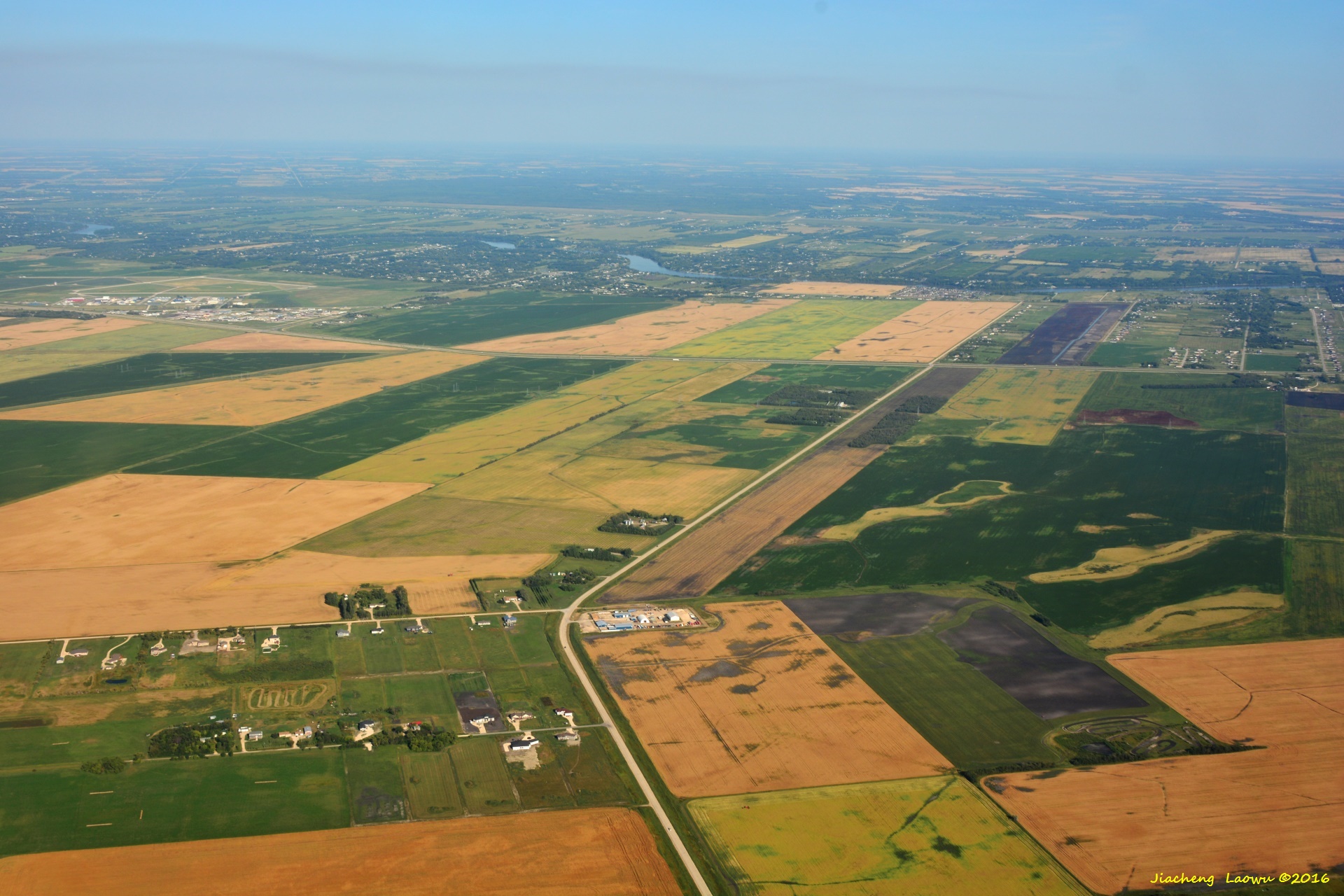
P18 City of Mississauga in SW of Toronto, the road in vertical direction is Hurontario Street, the horizontal road in the lower part is Rt.401 (Macdonald-Cartier Fwy), front in South Direction
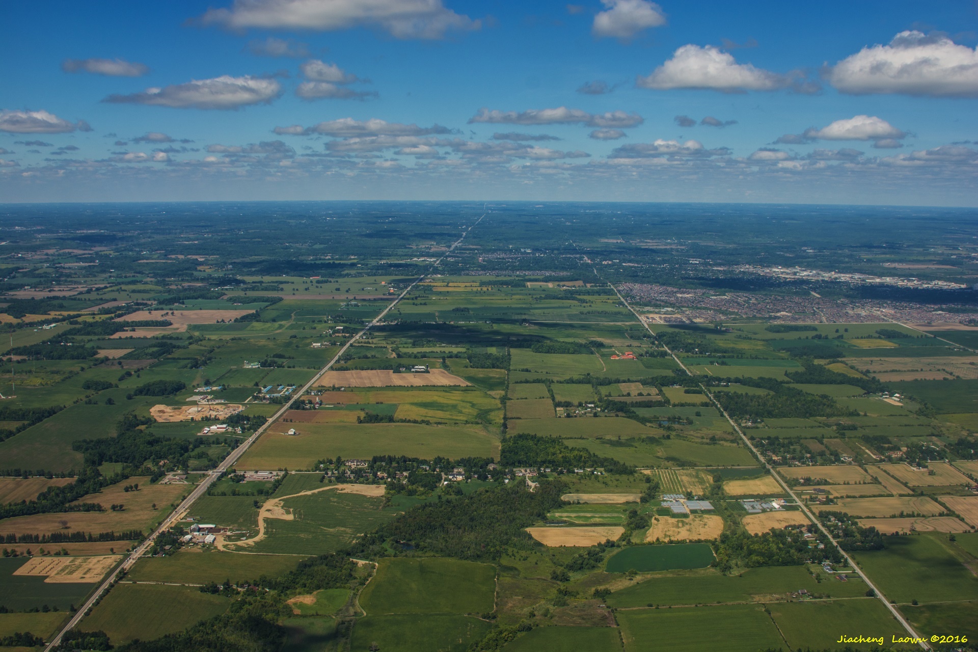
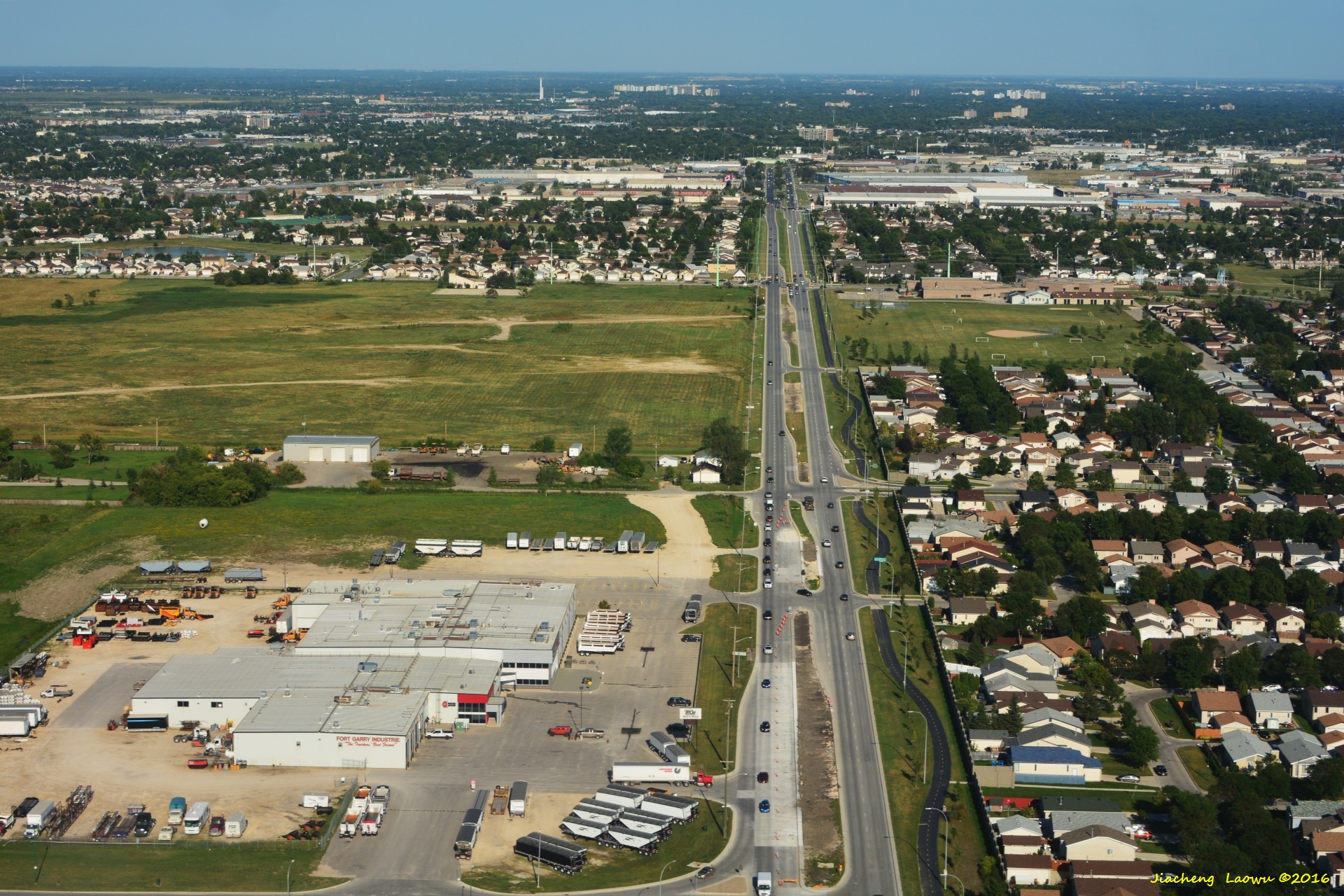
P19 Georgetown, Halton Hills, ON, the left-right road in the middle is Rt. 10, the vertical road on the left is Rt. 3 and on the right is Eigth Line, front in NE Direction
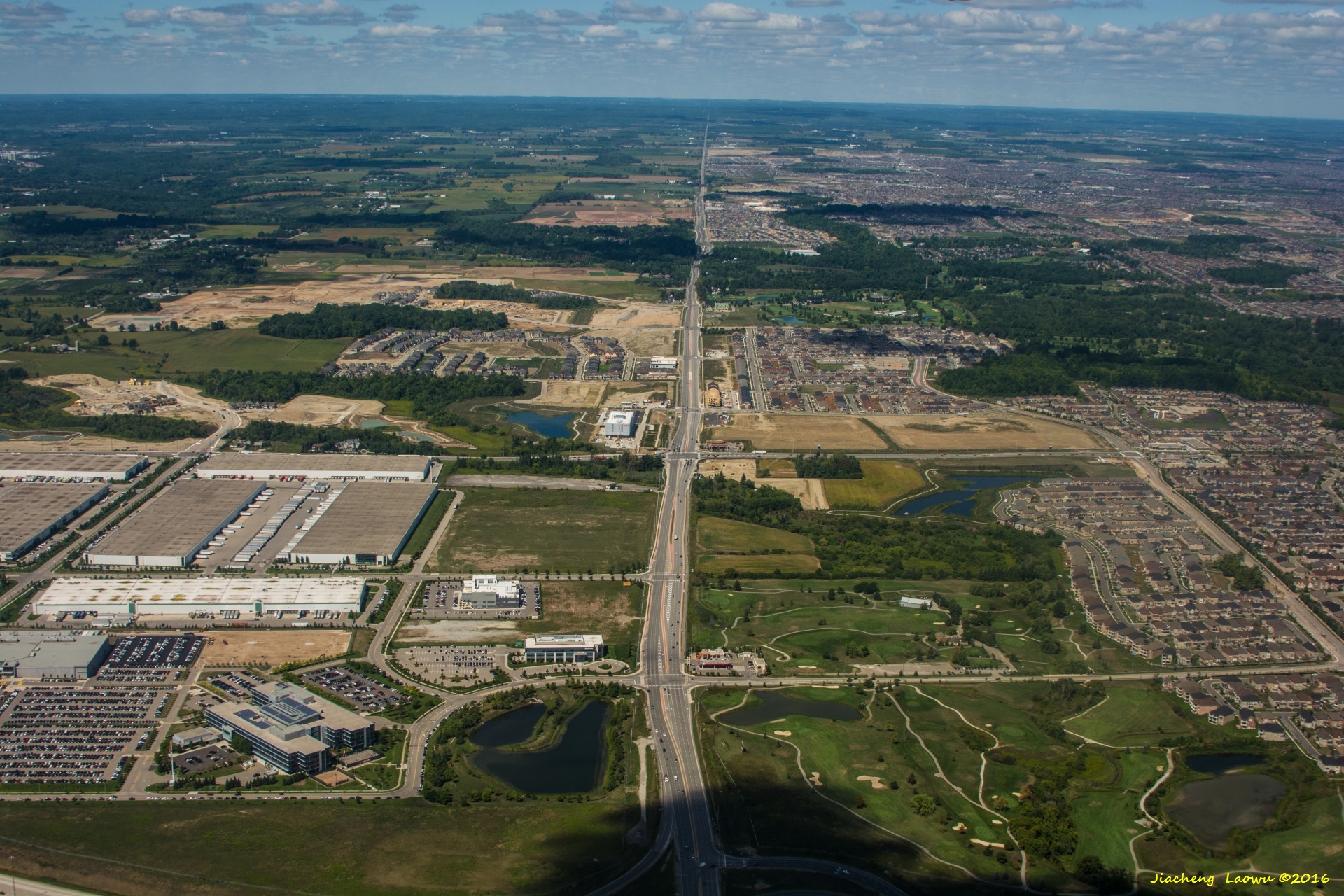
P20 Suburb of Toronto, road in top-bottom direction is Mississauga Road (Rt.1), the curved road in the lower part is Hereford Streat,
Streetsview Glen Golf Club on middle right, front in NW Direction
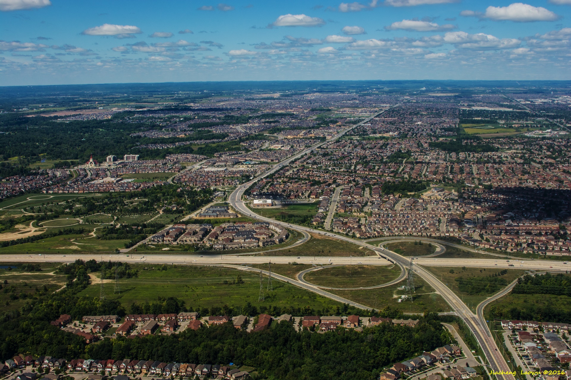
P21 Suburb of Toronto, SW of Pearson airport, the highway junction is the Exit 42 of Highway 42 (Express Toll Route), vertical road is Mavis Road, front in NW Direction
(3) Winnipeg and Calgary
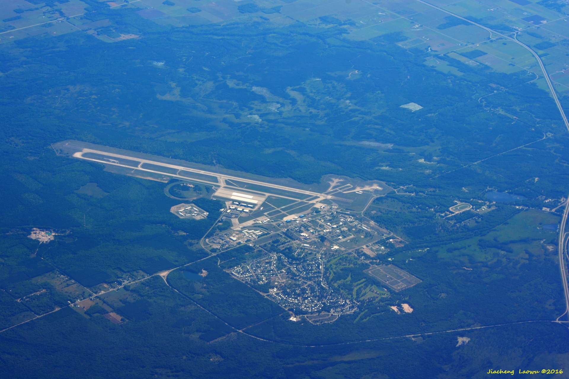
P22 Chippewa County International Airport, Kincheloe MI, front in SW Direction
P23 Northern Suburb of Winnipeg, West Saint Paul, the curved road is Miller Road, thee road intersected is Fulsher Road, Red River in up front,
front in East Direction
P24 Out side the town of Winnipeg, the top-bottom direction oad is Inkster Blvd,the street in front of lawn is King Edward Streat, front in East Direction
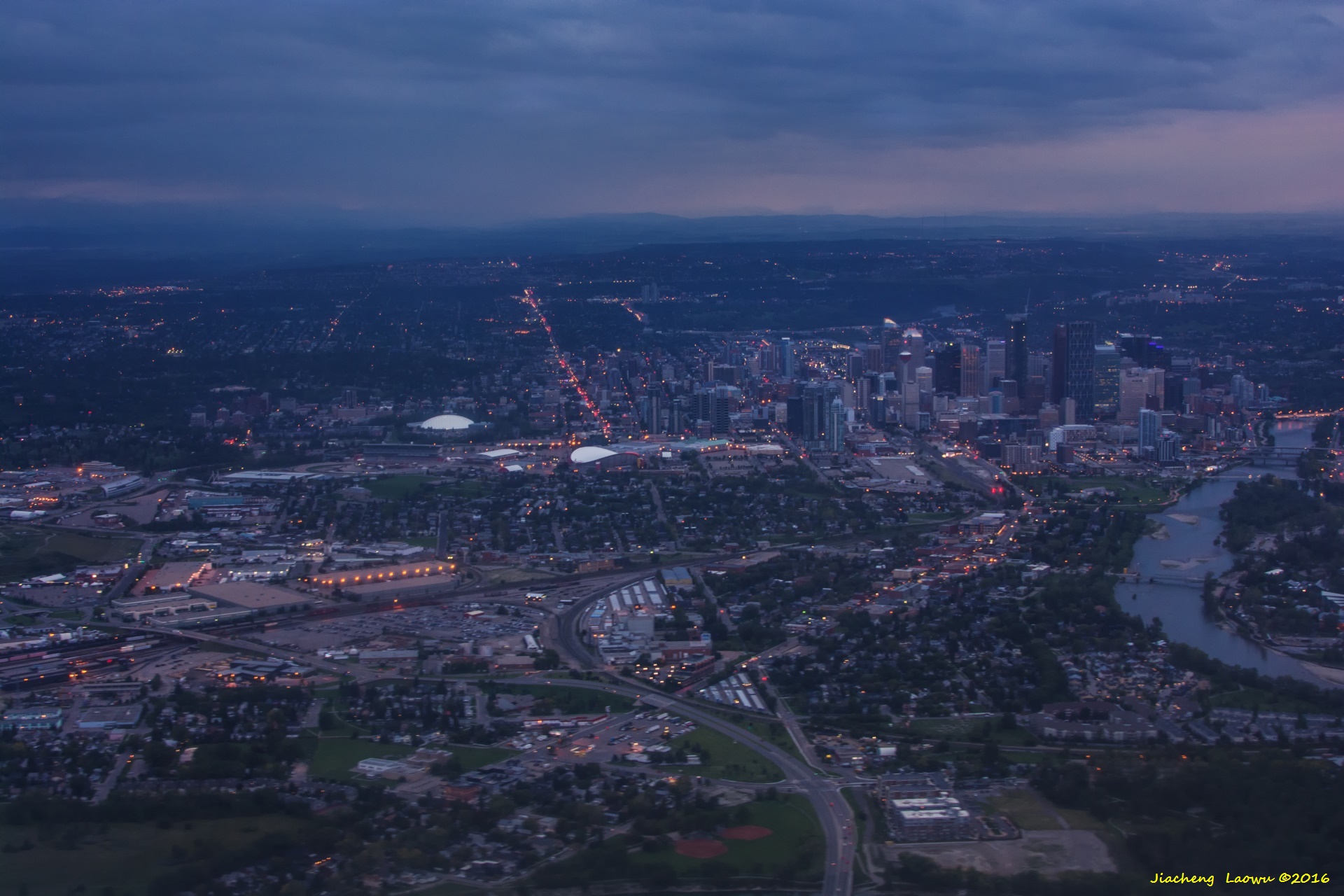
P25 City of Calgary, the river on the right is Bow River, the road on the bottom-left corner is Blackfoot Trail SE, the near to-bottom trending road is 17 Ave SW
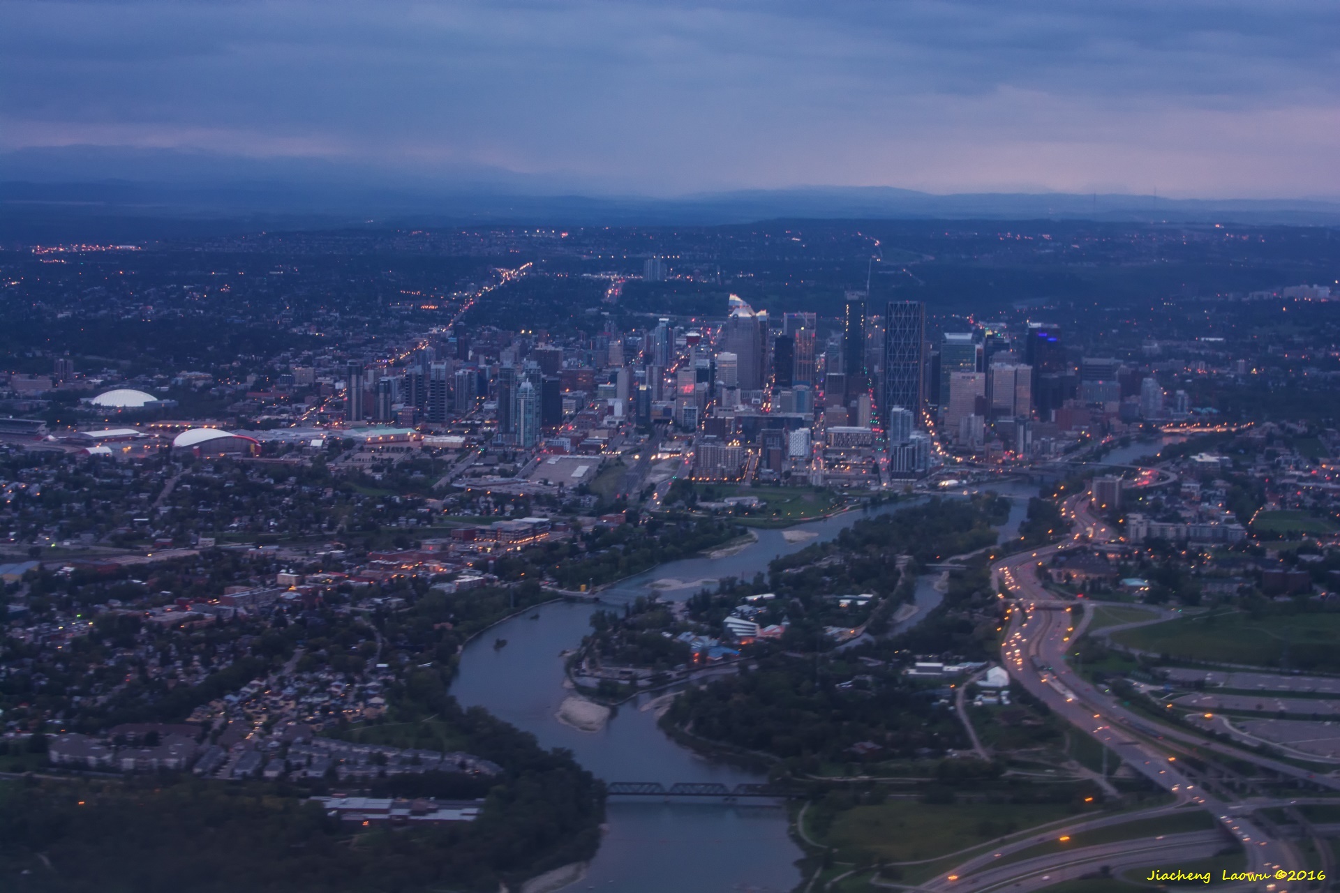
P26 City of Calgary, the junction on the lower right is between Rt. 2 and Memorial Drive (along the river), front in West Direction
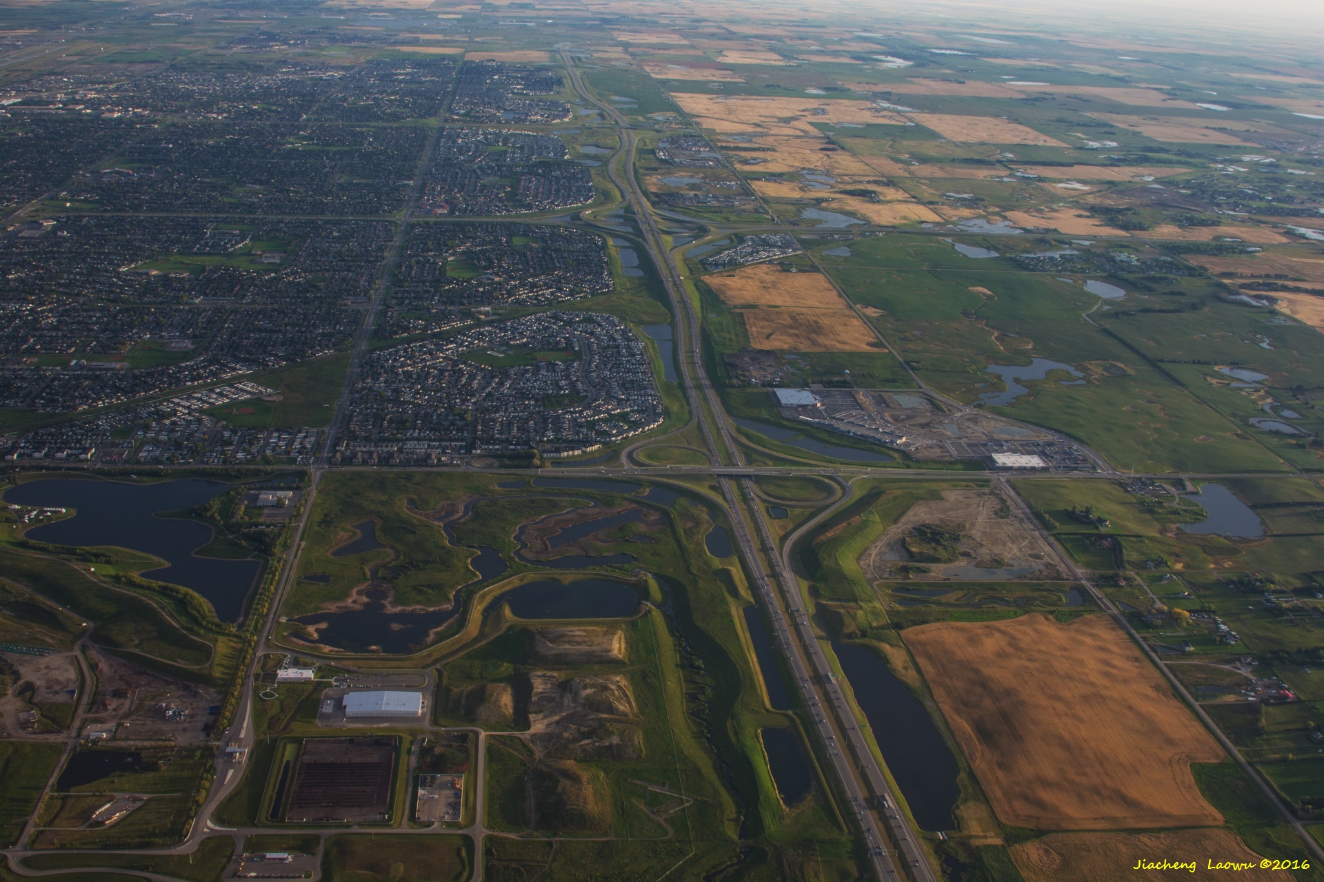
P27 City of Calgary, the top-bottom trending road in near the center is highway 201 E, the traversal road in below the center is highway 1A,
another traversal road near the middle is hight way 1, front in North Direction
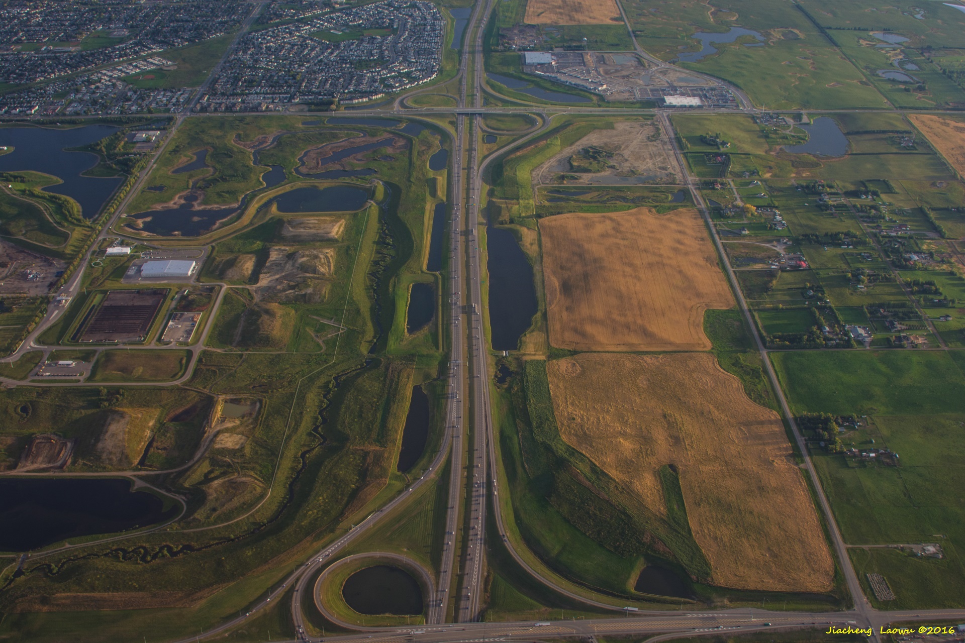
P28 The clode lookup lower part of photo of P27, the vertical road is highway 201E, the traversal road in above the middle is highway 1A,
front in North Direction
Canadian Rocky 2016 (10) - Boston Air Photos