Canadian Rocky 2016 (10) - Boston Air Photos
Changde Wu 2016-10-23
Canadian Rocky 2016 (10) - Boston Air Photos
This chapter exhibits the photos took from the airplane windows on the way between Boston and Calgary AB. Since my seats were on the left side on both way out and back to Boston, the camera pointed to the South on the way to Calgary, and to the North on the way back most of the times.
(1) The way leave Boston
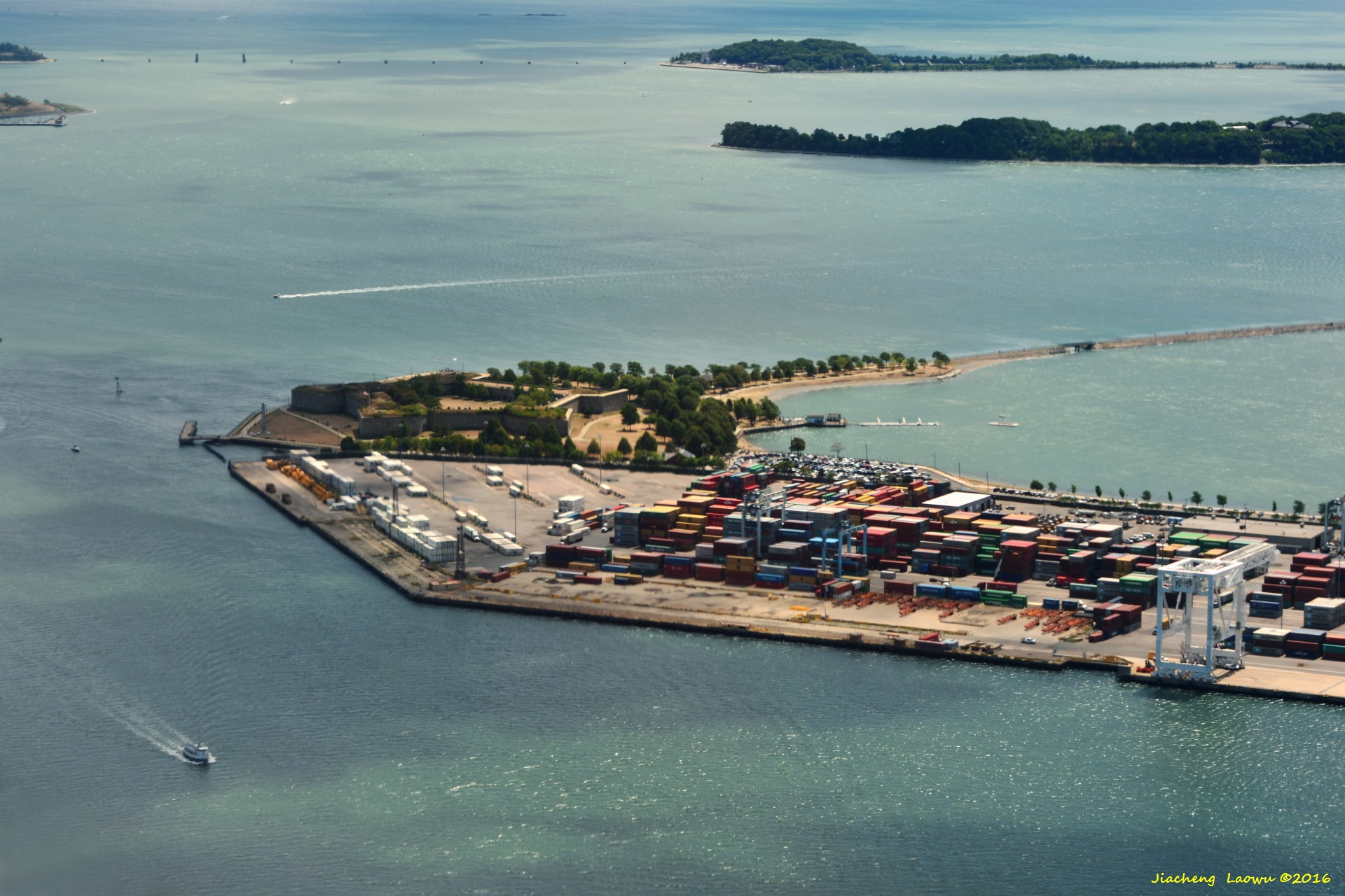
P1 Castle Island and the cargo port, Boston MA
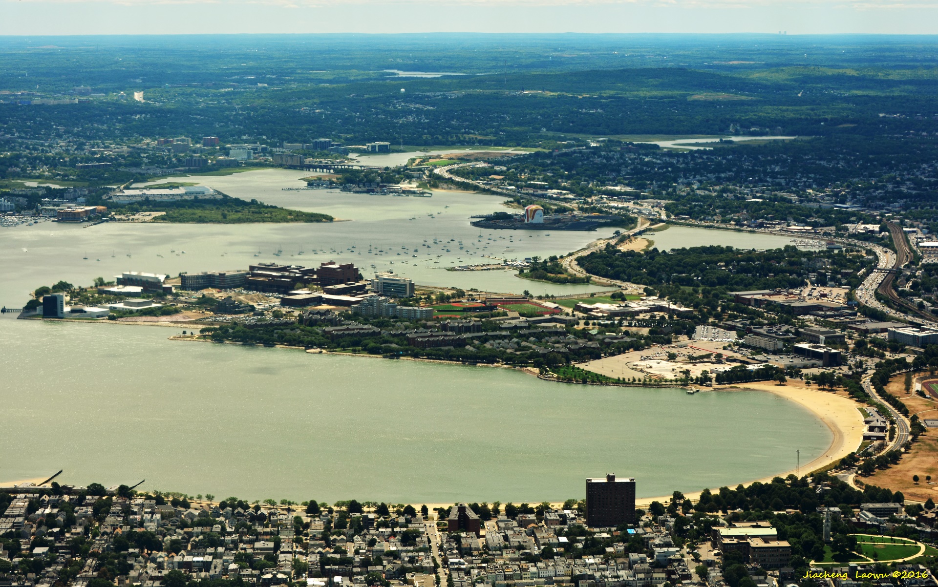
P2 The island in the middle is UMass Boston, JFK Library is on lef-tmost of the island
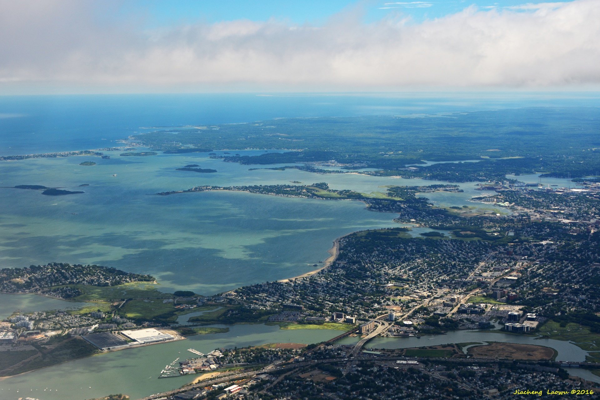
P3 Quincy Bay, the island in the middle is Houghs Neck, the E in front
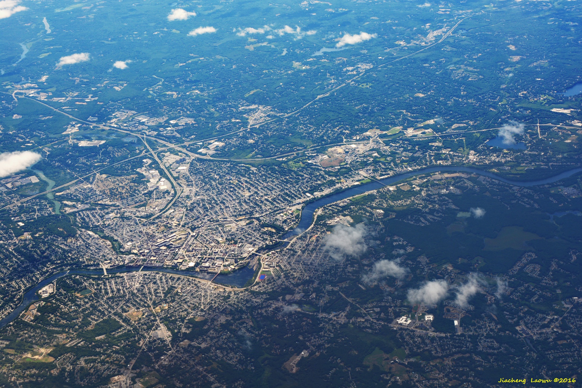
P4 Lowell MA, a historical american industrial city
(2) The way to Boston from the West
P5 Parkhill Park, Fitchburg MA; North in front
P6 Fitchburg Municipal Airport; North in front
P7 Lake Shirley, Shirly MA; North in front
P8 Ayer MA in lower part; North in front
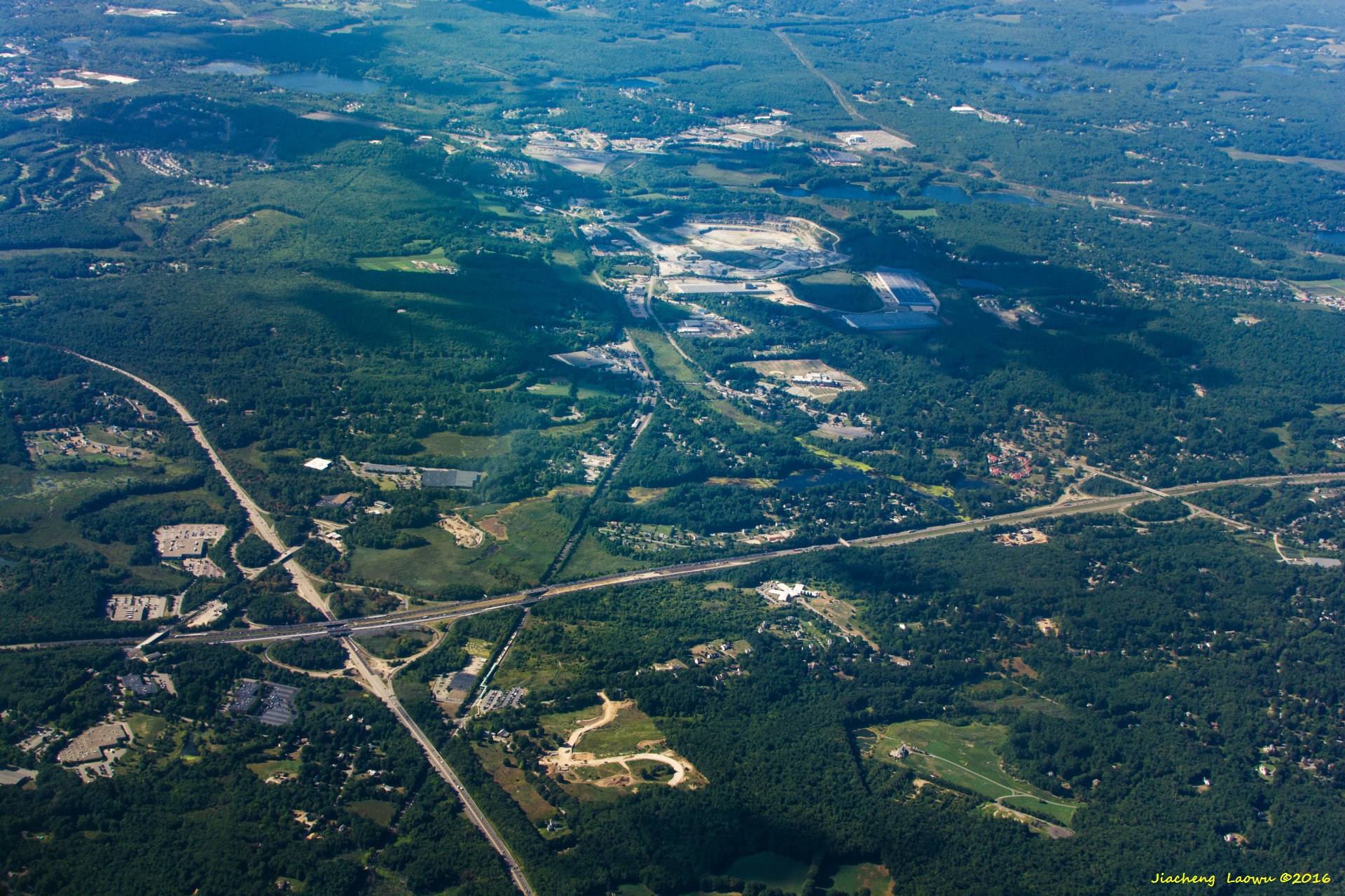
P9 The junction of I495(left-right direction) and MA Rt. 2; North in front
P10 Inside the circle of I495,Bedford MA, Patriot Golf Course in the middle, Rt. 3 on the top-right cornner, the water body in the top-most is Nutting Lake; North in front
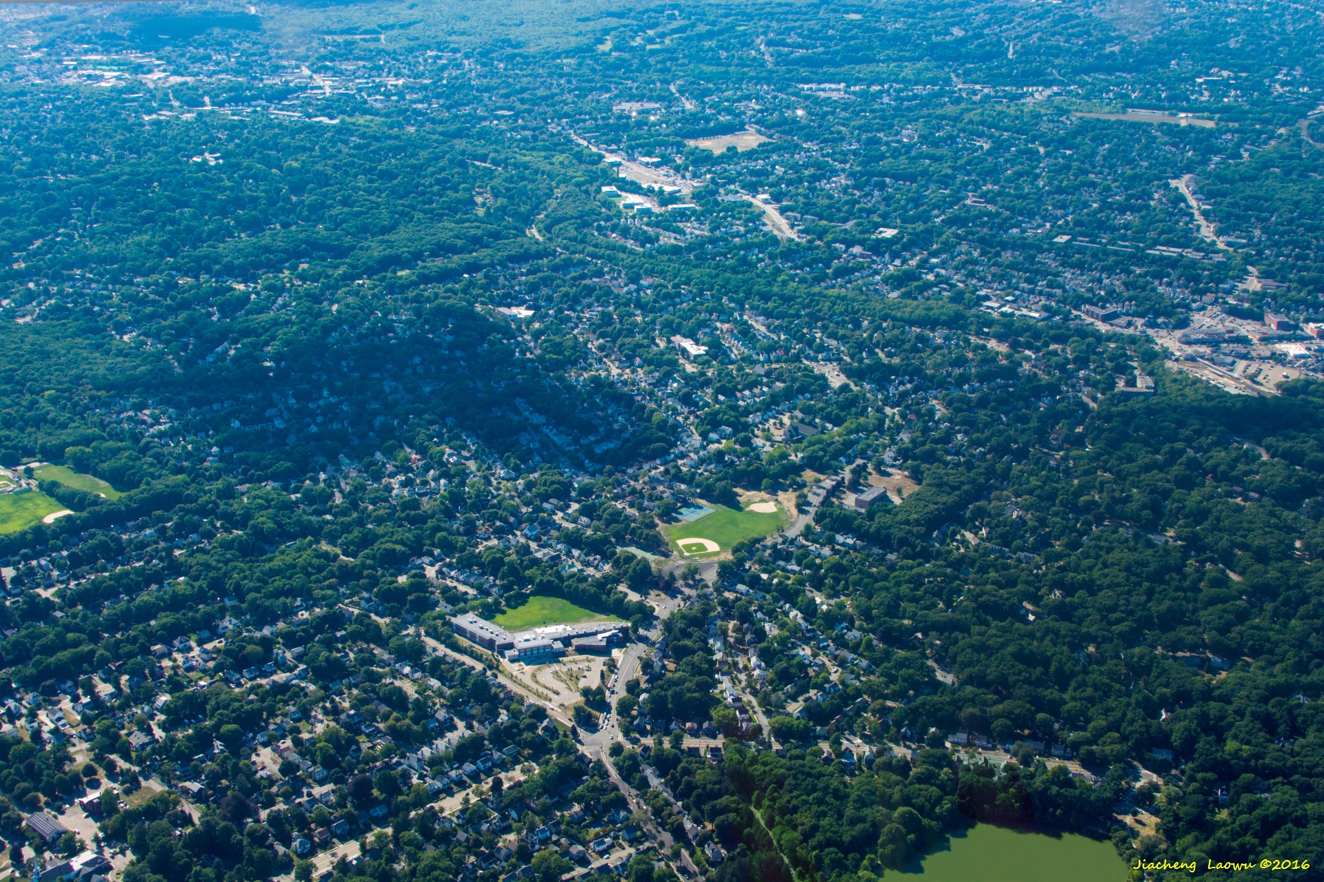
P11 The oblique road on the left side is Rt. 3, the lake to the right of it is Nutting Lake, Billerica MA; North in front
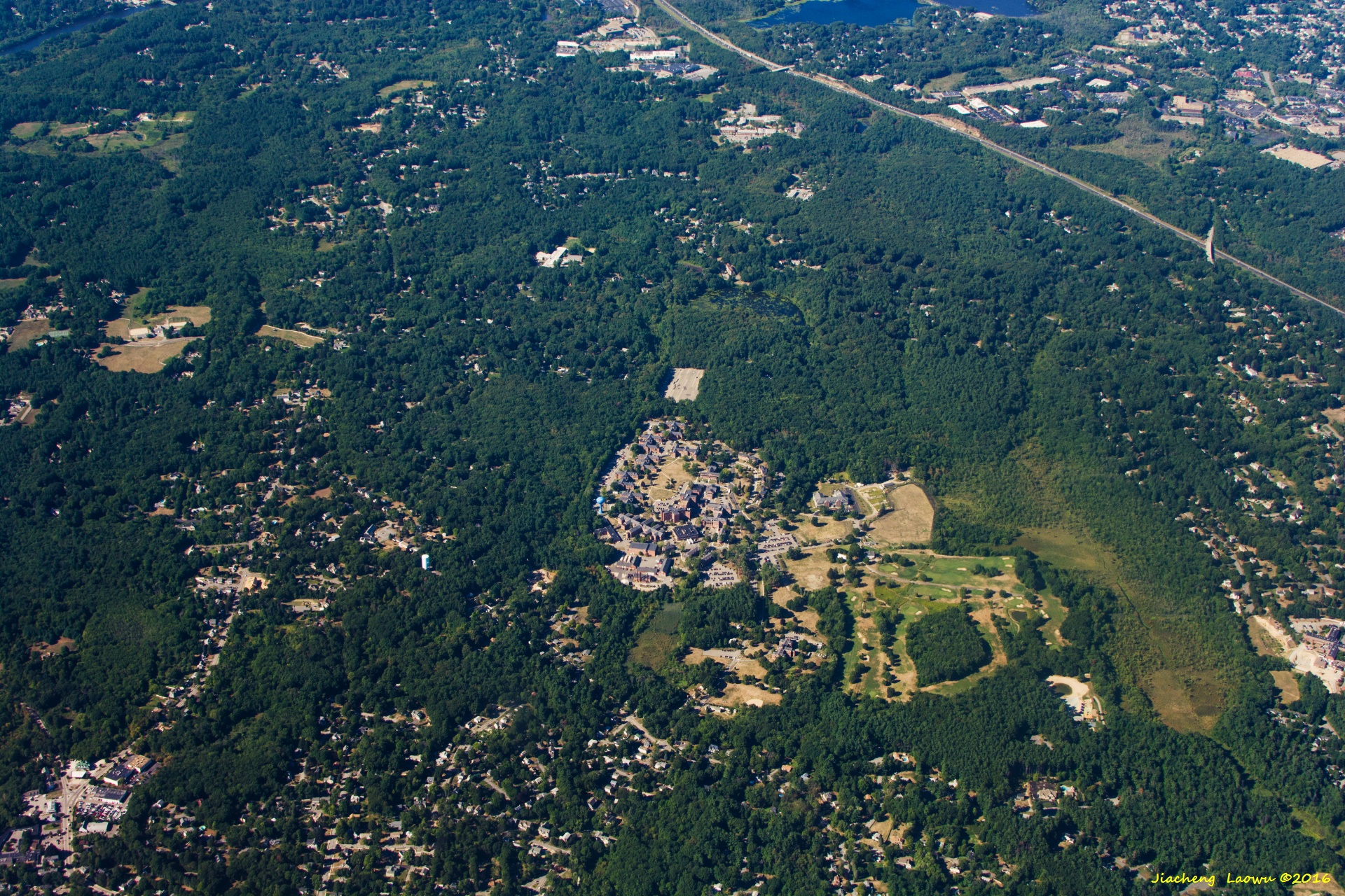
P12 Burlington Mall, I-95 treads top-bottom, the T-junction on top in Rt.3, Burlington MA; West in front
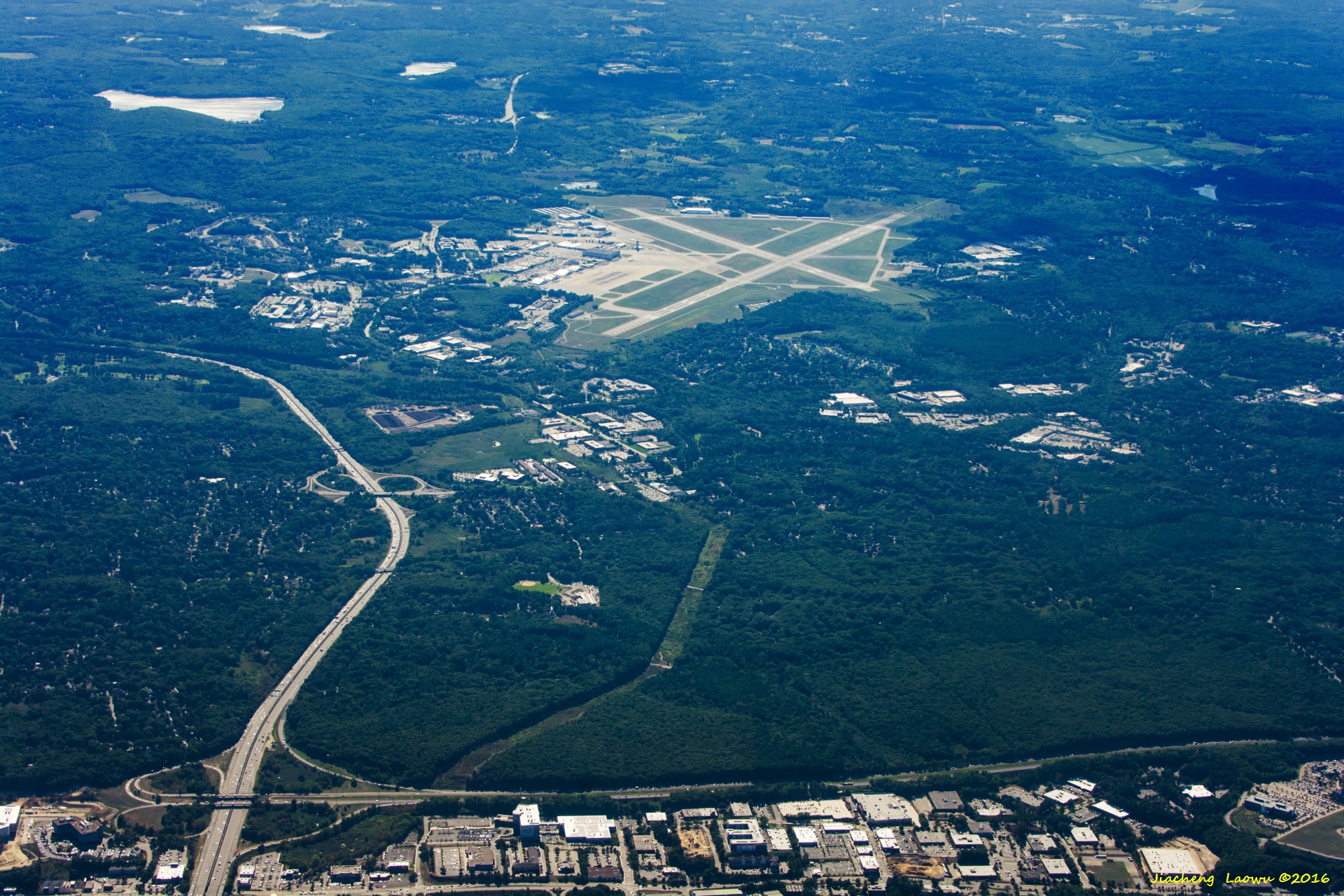
P13 Bedford Hanscom Field, Bedford MA, West in front
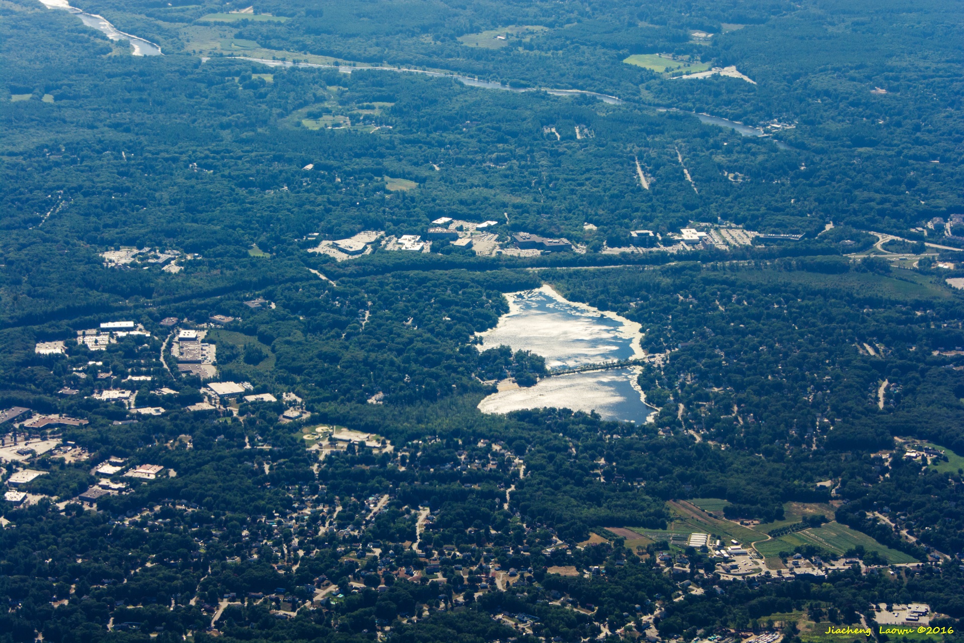
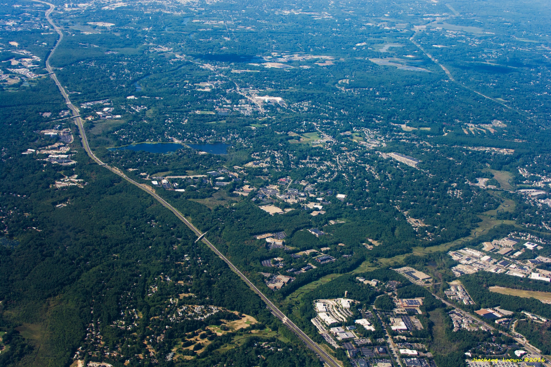
P14 Left-right road in the middle is Rt. 3, the lake slightly below the center is Nutting Lake, Billerica MA, West in front
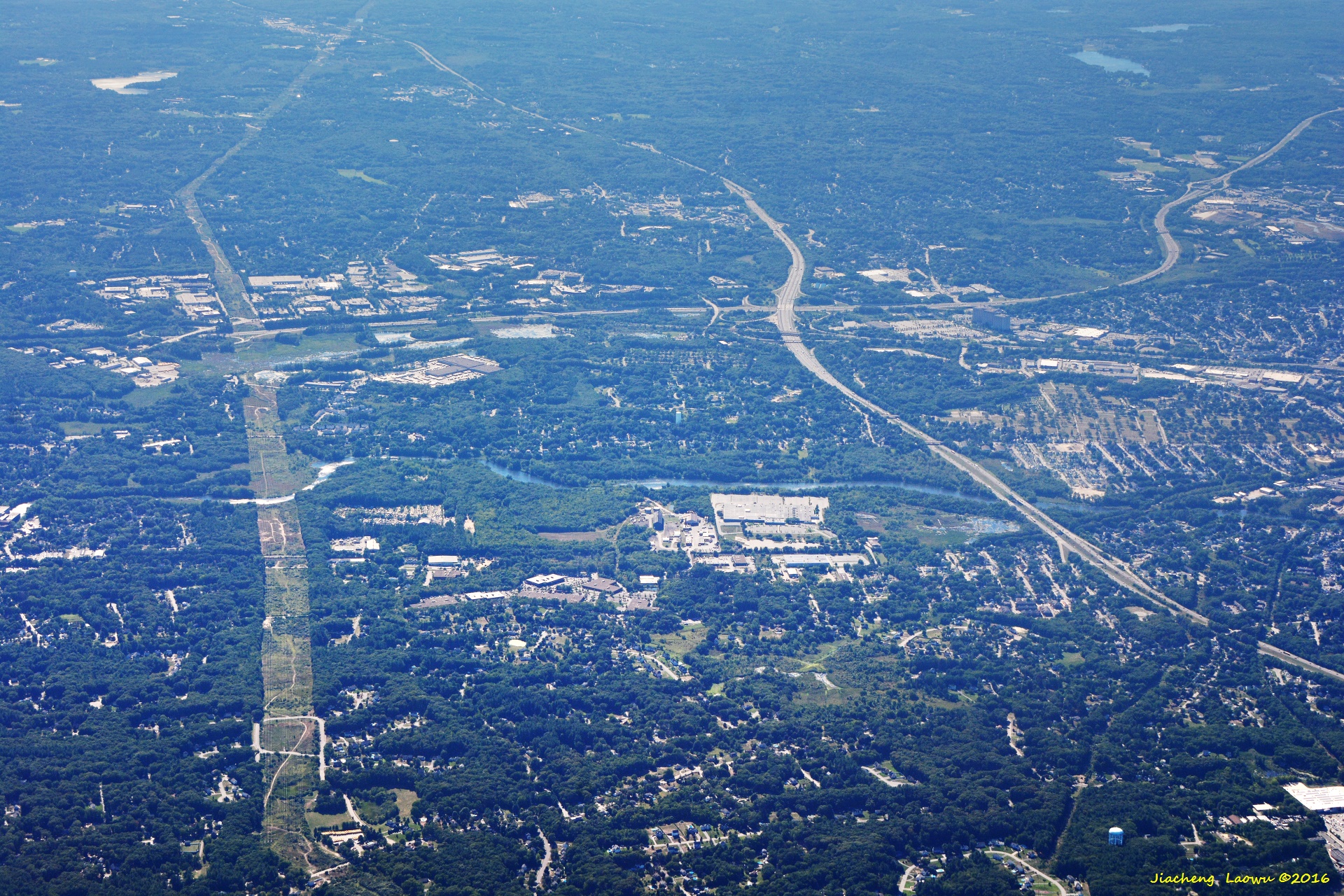
P15 The junction of I495(top-left - bottom-right) and Rt. 3 (left-right), Concord river, Nelerica and Chelmsford MA, West in front
P16 Around Andover MA, the road in top-left corner is I-93 around Exit 42, tghe road covered by trees in the bottom-left is East St, East in front
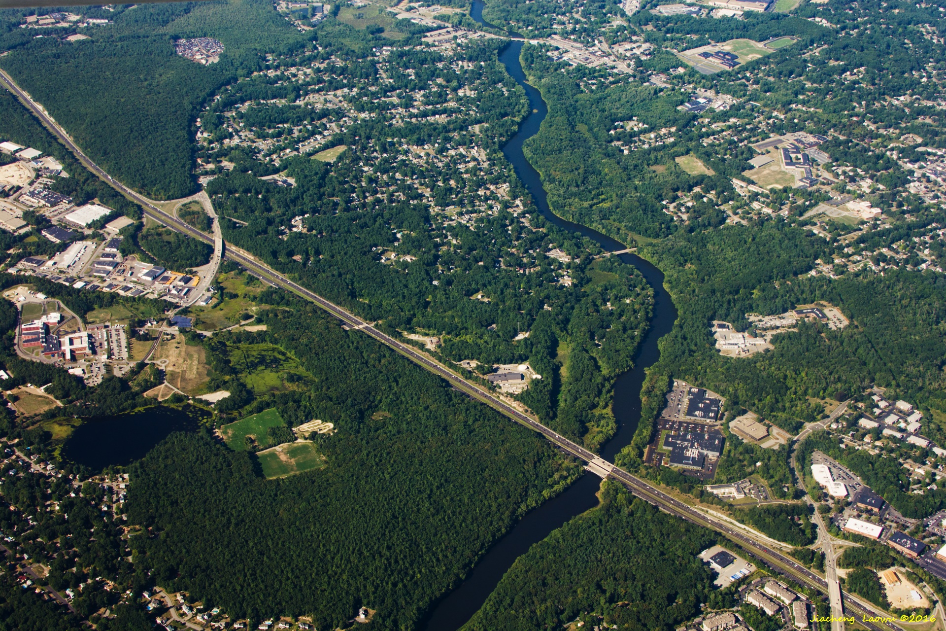
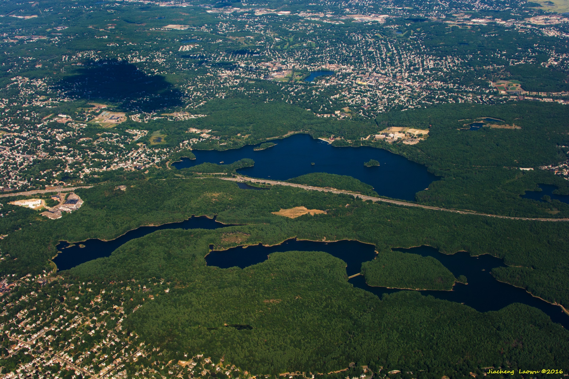
P17 The Exit 28 of Rt. 3 in top-left part, Winning Pond on lower right, Billerica MA,NE in front
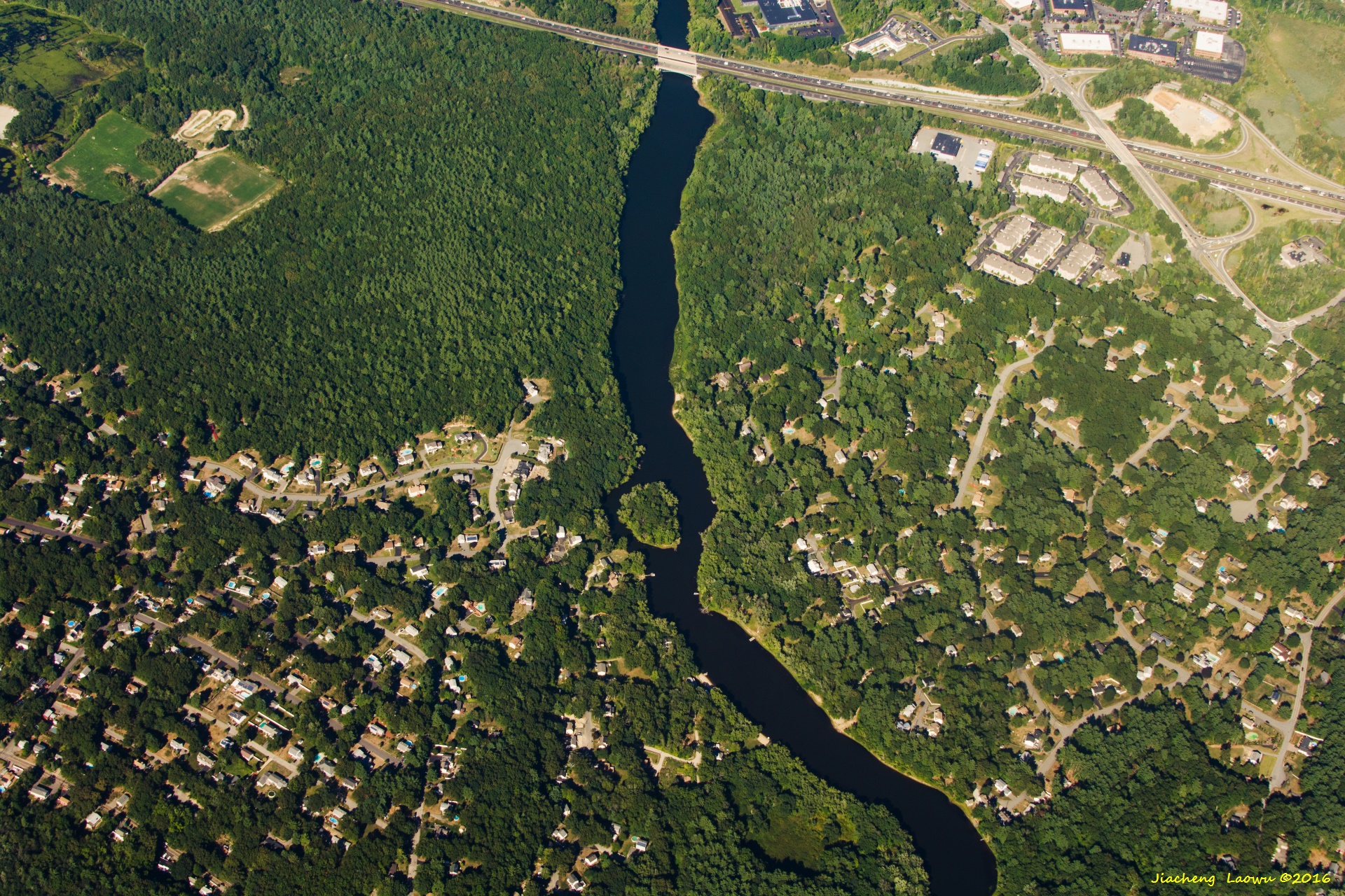
P18 The Exit 27 of Rt. 3 in top-right part, Concord river,Billerica MA,NE in front
P19 The Exit 28 of Rt. 3 in top-left, Concord river onn the mid-right, Billerica MA,North in front
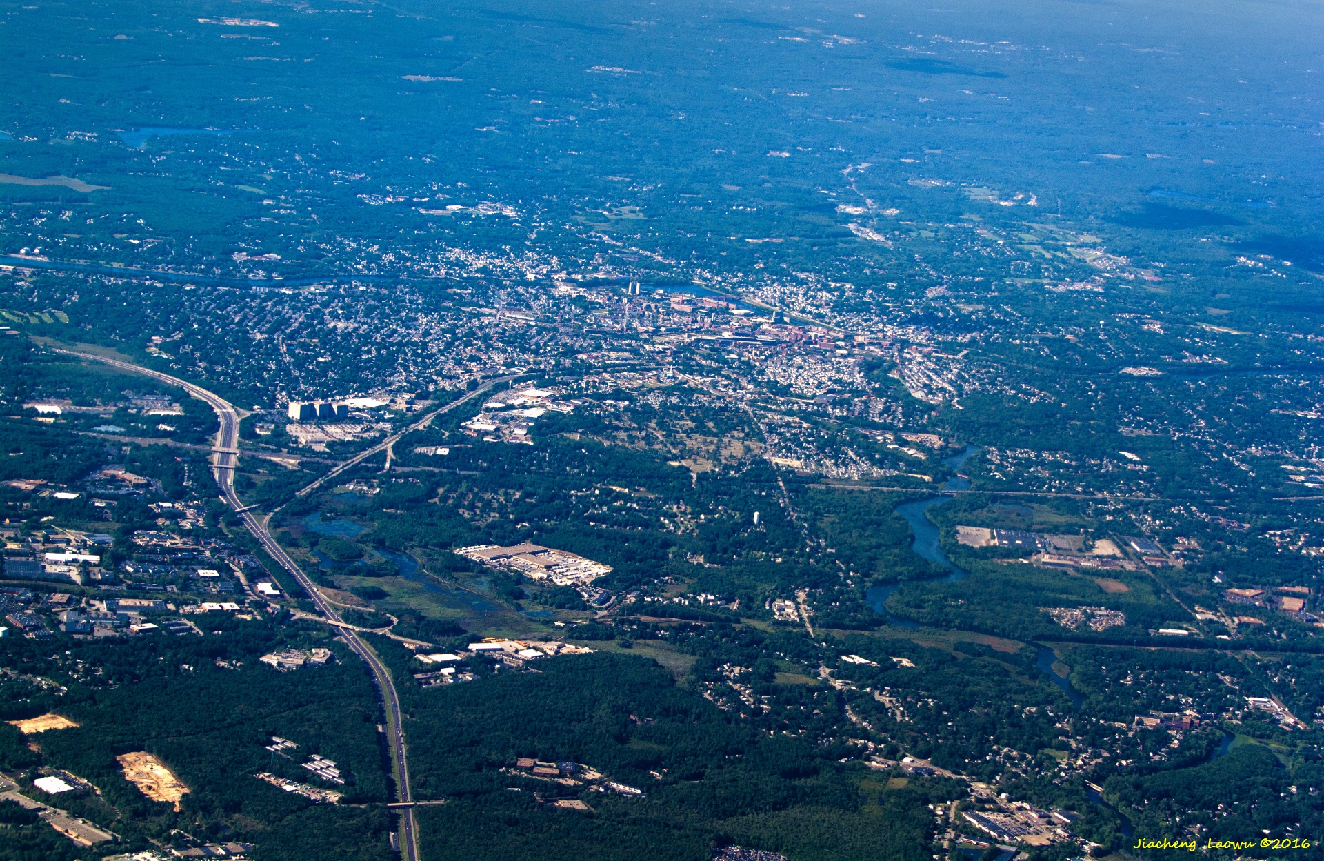
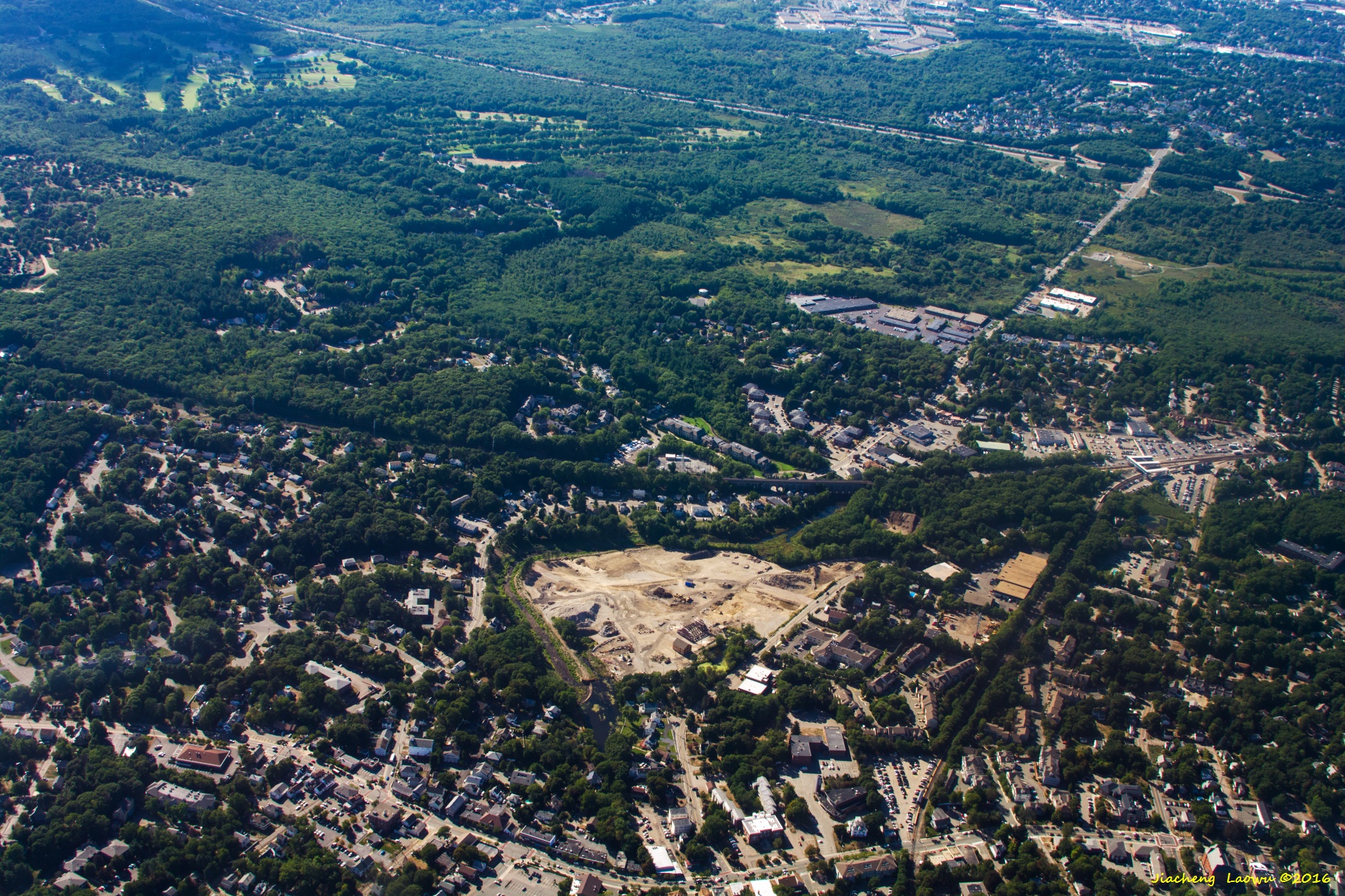
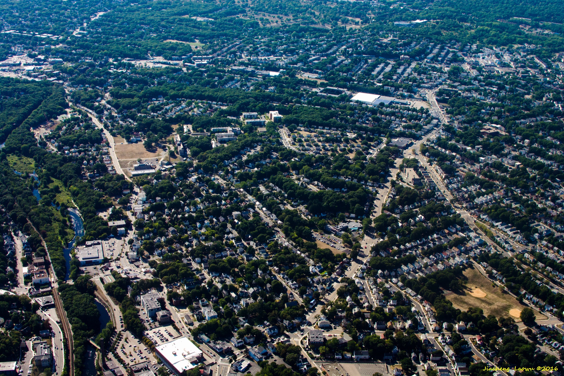
P20 Lowell MA, North in front
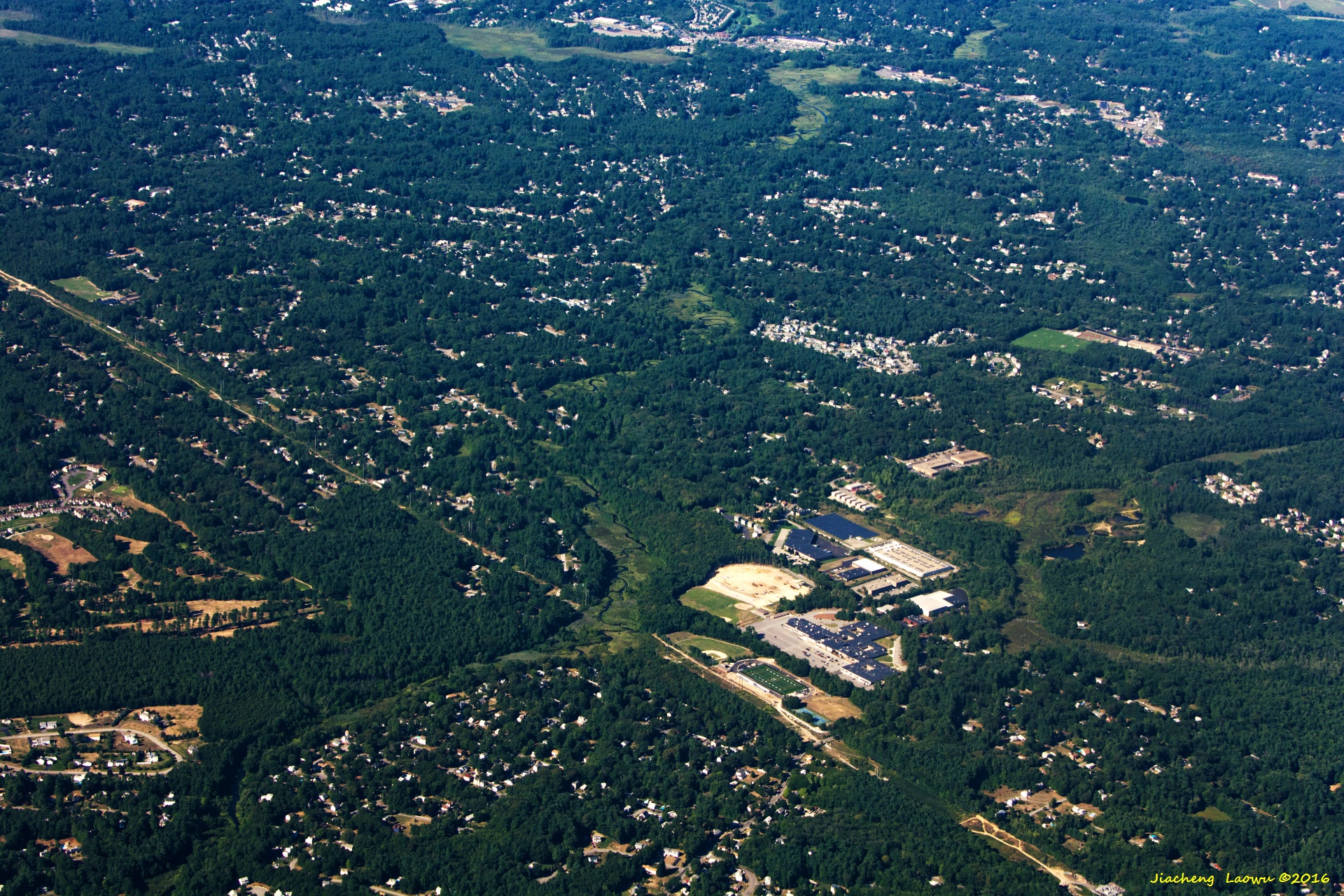
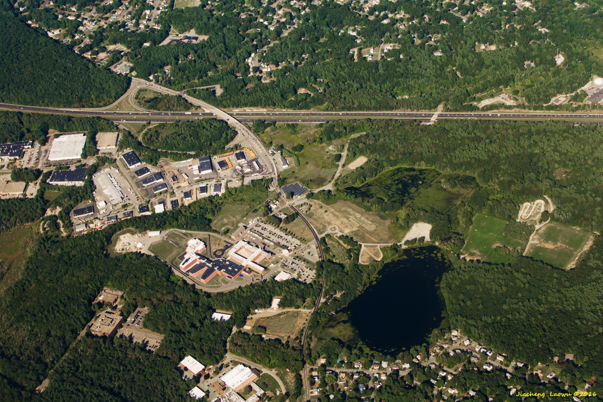
P21 Shawsheen Valley Technical High School (100 Cook St) on the lower-right, Billerica MA, NNE in front
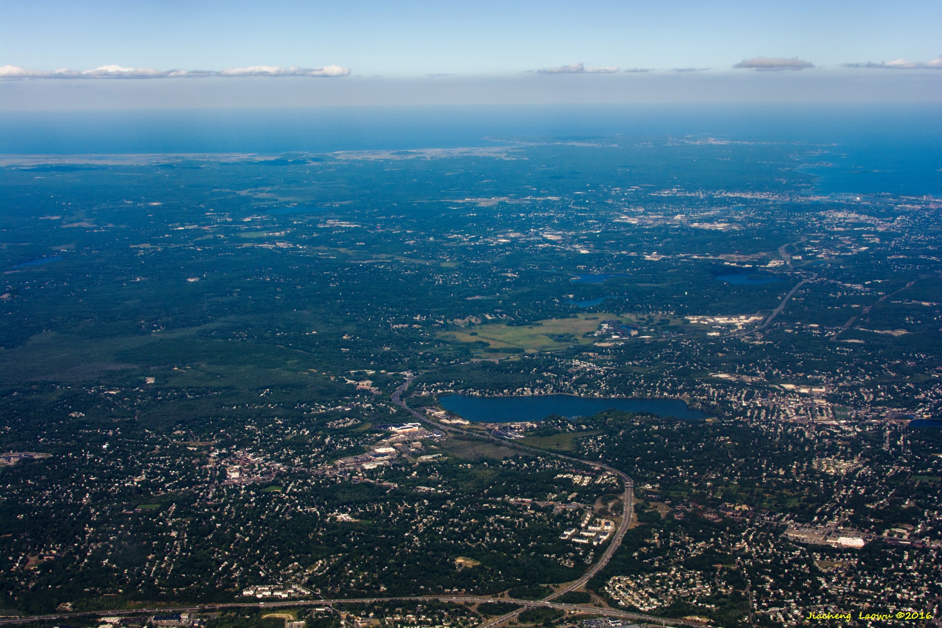
P22 The junction of I95 and I93 in the bottom, Lake Quannapowit in the middle, I-95 runs to the left of the lake, Wakefield is on the right side of the lake,
Wakefield MA, East in front
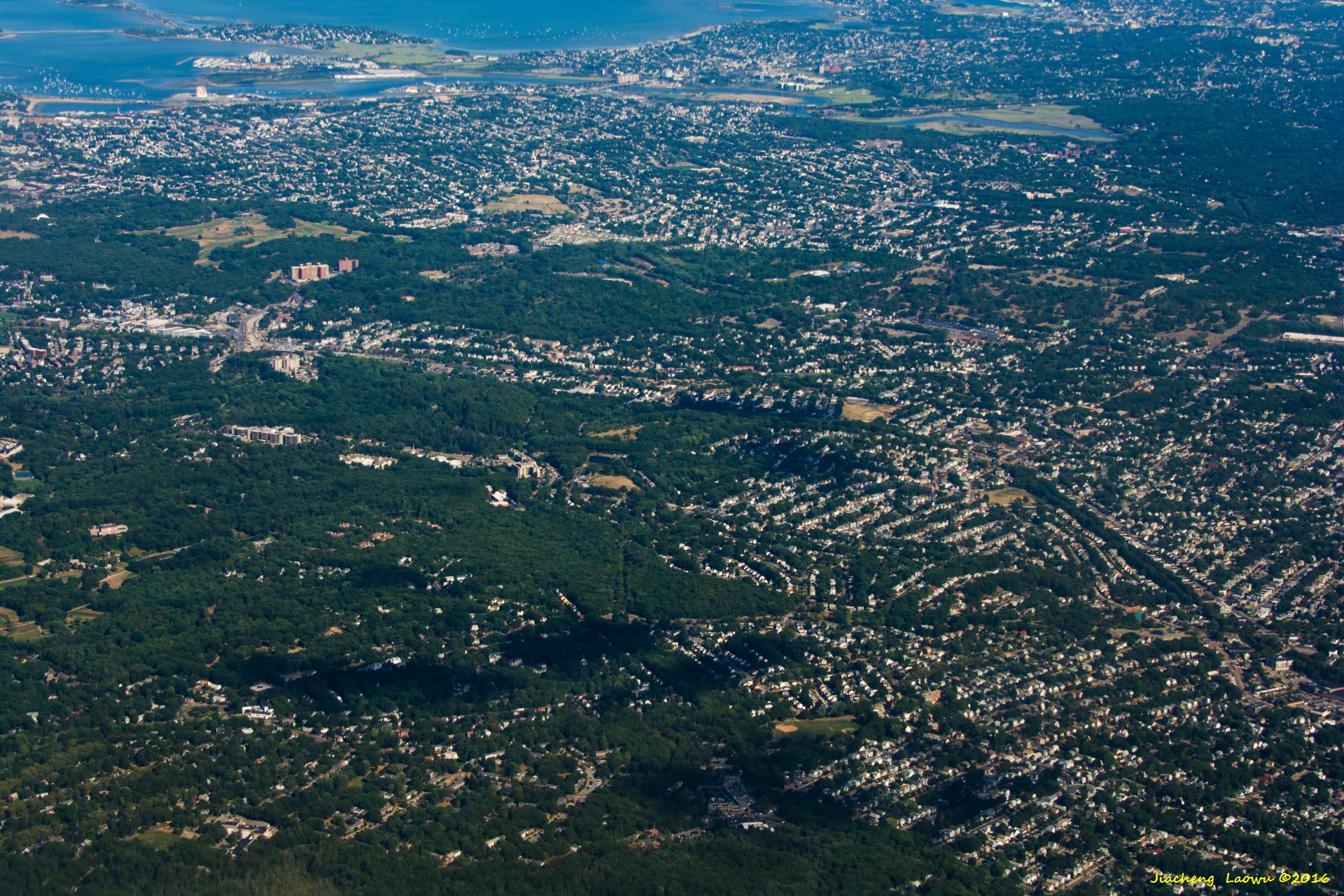
P23 I-93 (left - right trending) in the middle, Middlesex Fells Reservation above I-93, Stoneham MA, East in front
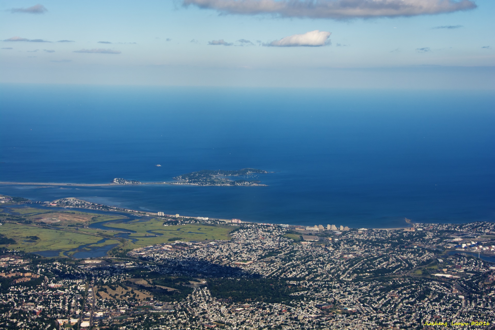
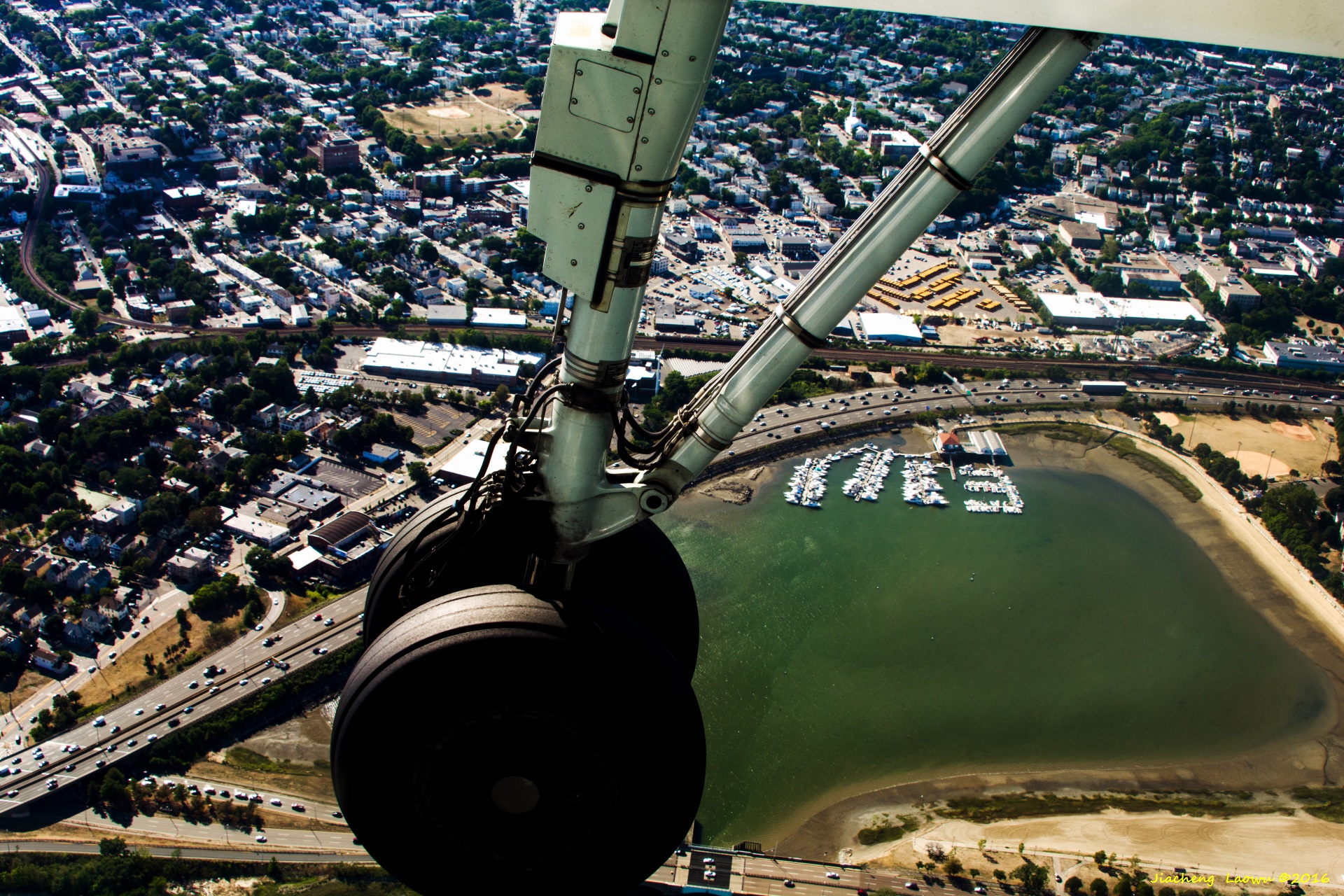
P24 The island is Nahant MA, Revere Beach, NEE in front
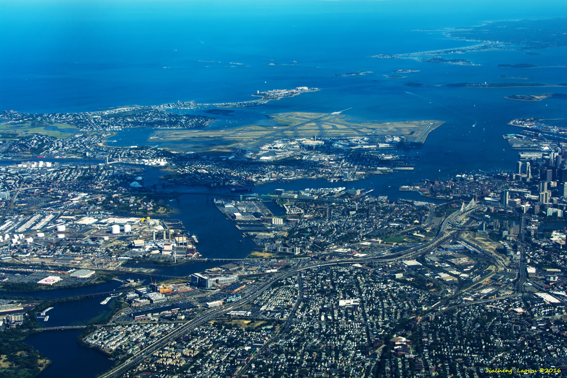
P25 City of Boston and Logan airport, East in front
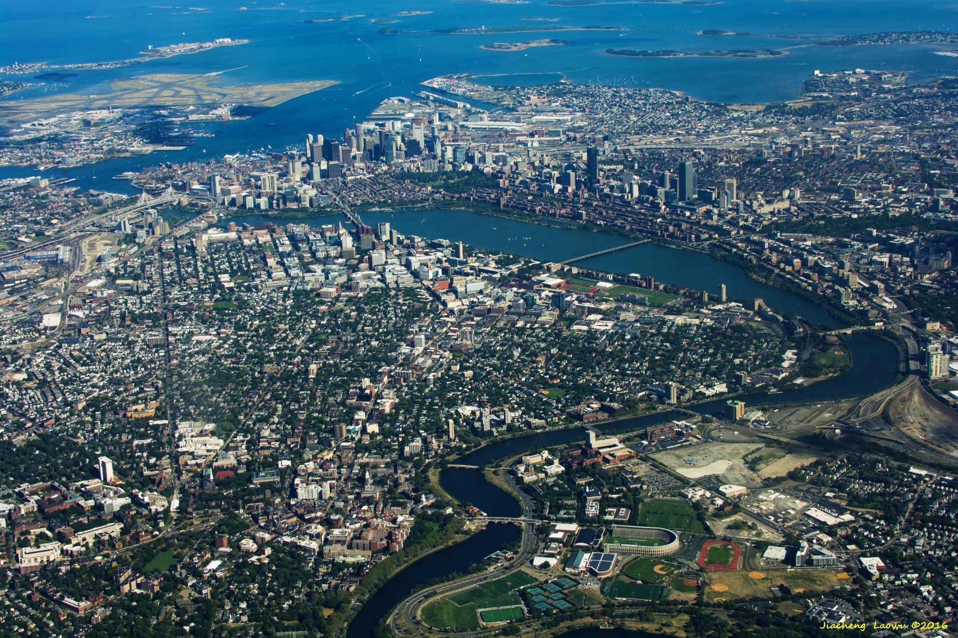
P26 Full view of Boston, Cambridge and Logan Airport, East in front
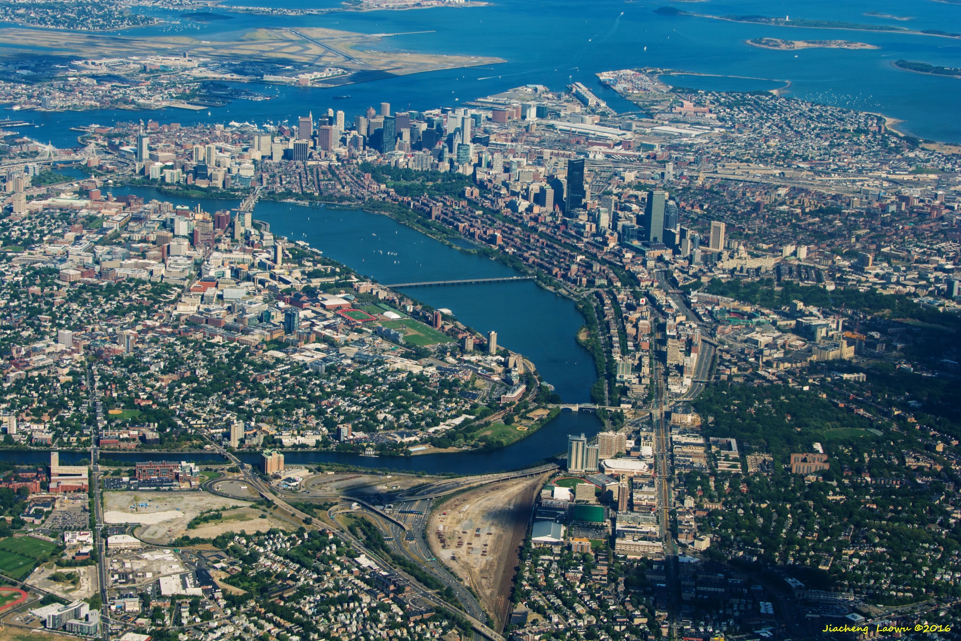
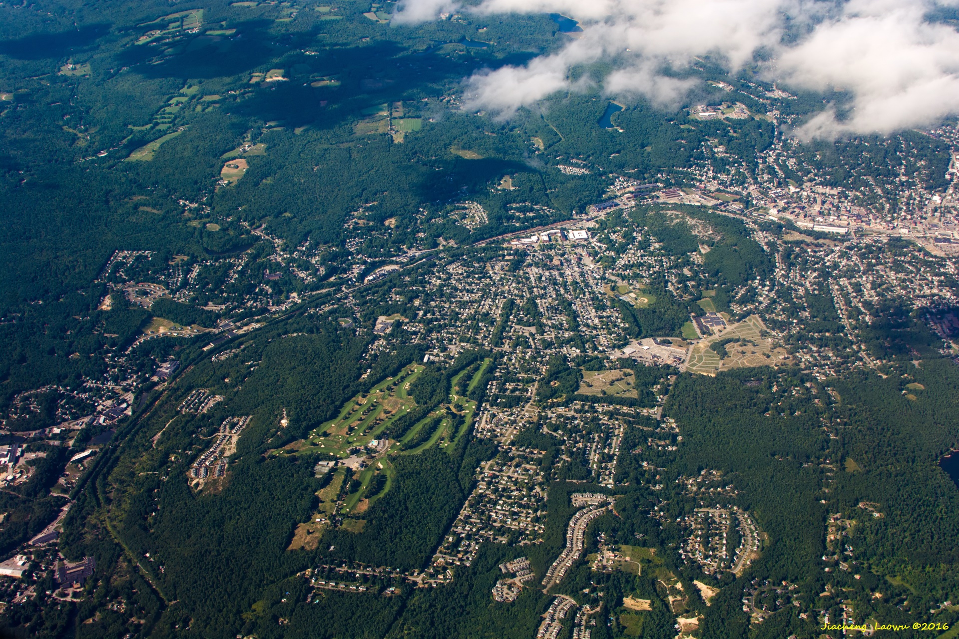
P27 Boston (right of the river) and Cambridge (left), East in front
P28 South of Boston, the Gas tank near Boston Globe in top-left corner, the orange colored towers in the top-left area is Franklin Park, East in front
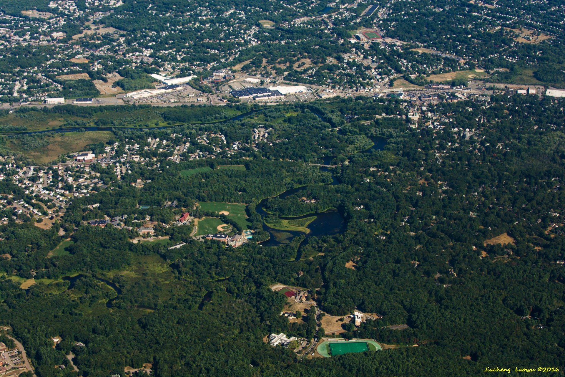
P29 The area with a sport field near the bottom is Northeastern University Dedham Campus, Motley Pond is near the center,
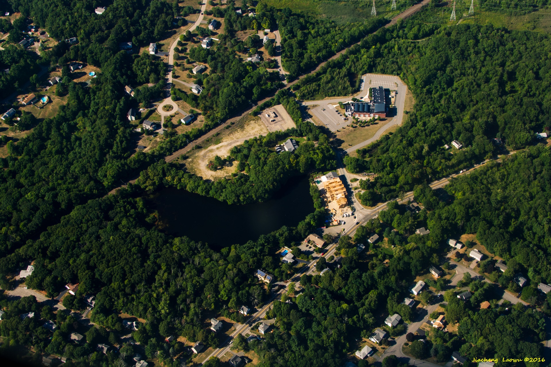
Dedham Mall is the the middle slightly above the center, East in front
P30 I-95 in near top-bottom direction, exit 15 near the center, exit 16 in the bottom left, Dedham MA, East in front
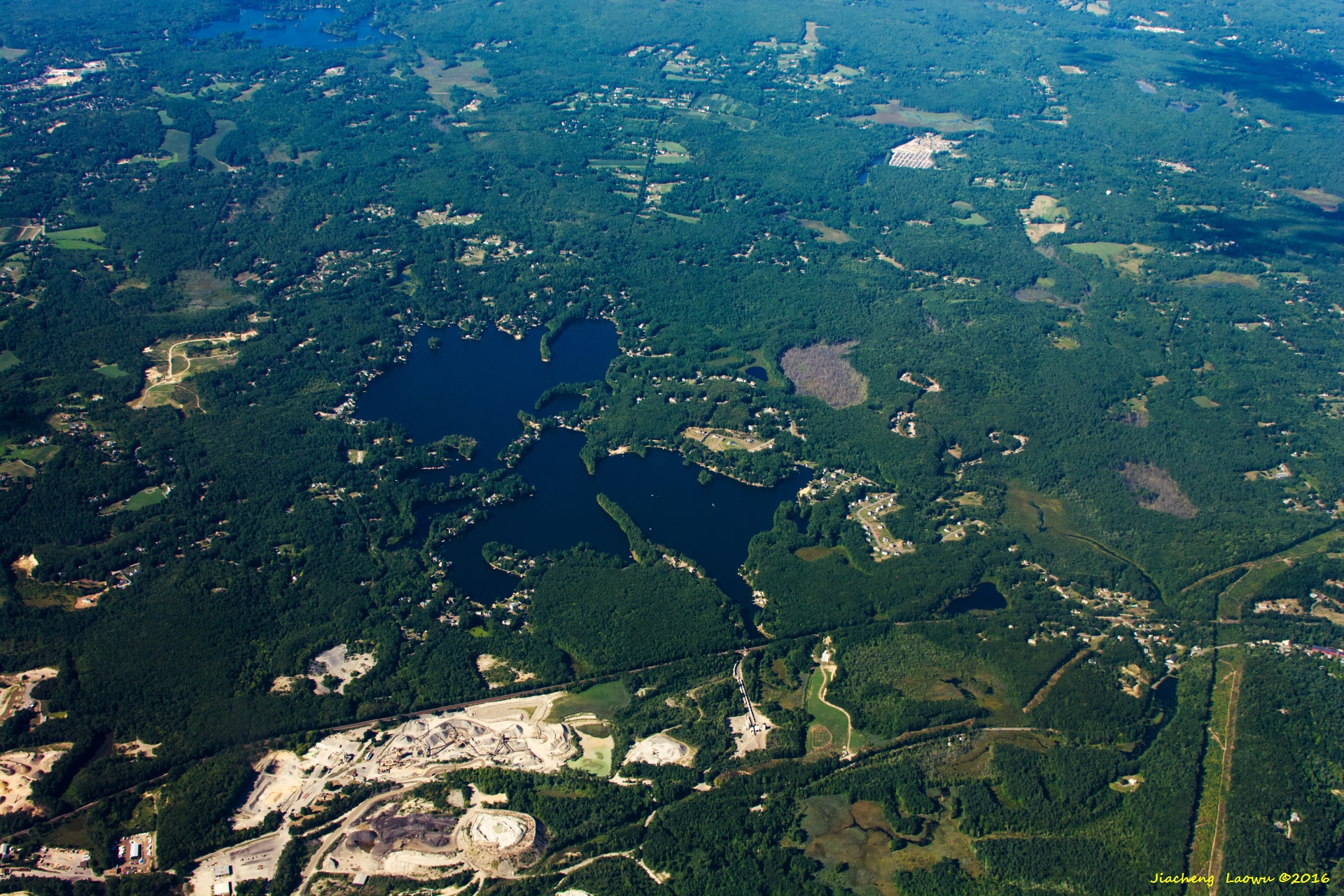
P31 Buckmaster Pond in the upper-right, the roads intersects in top-left corner above a small pond are Hight St and Pond St, Westwood MA, East in front
P32 Buckmaster Pond, the streets intersects are High St (R109) and Pond St (right of the lake), Westwood MA, East in front
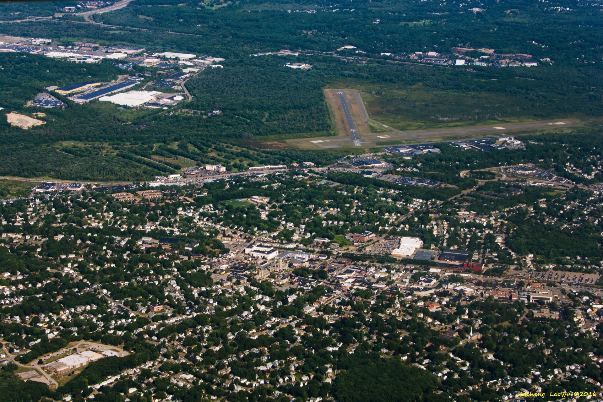
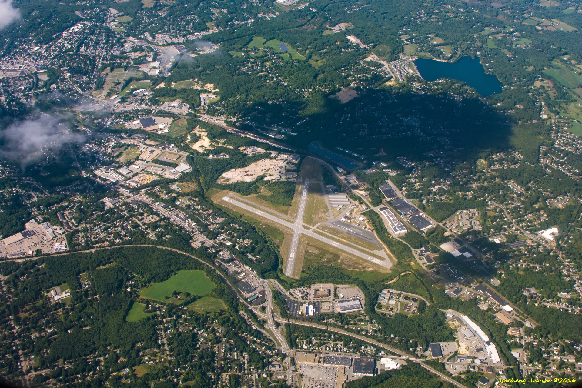
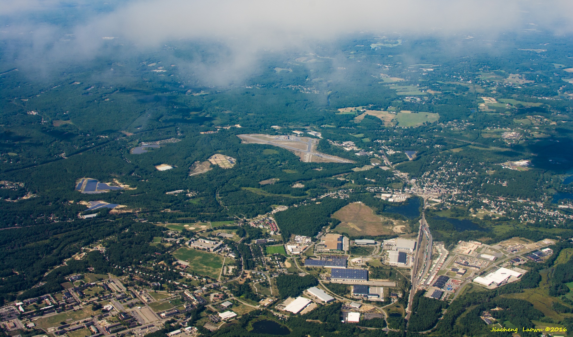
P33 Norwood Municipal airport, Norwood MA, East in front
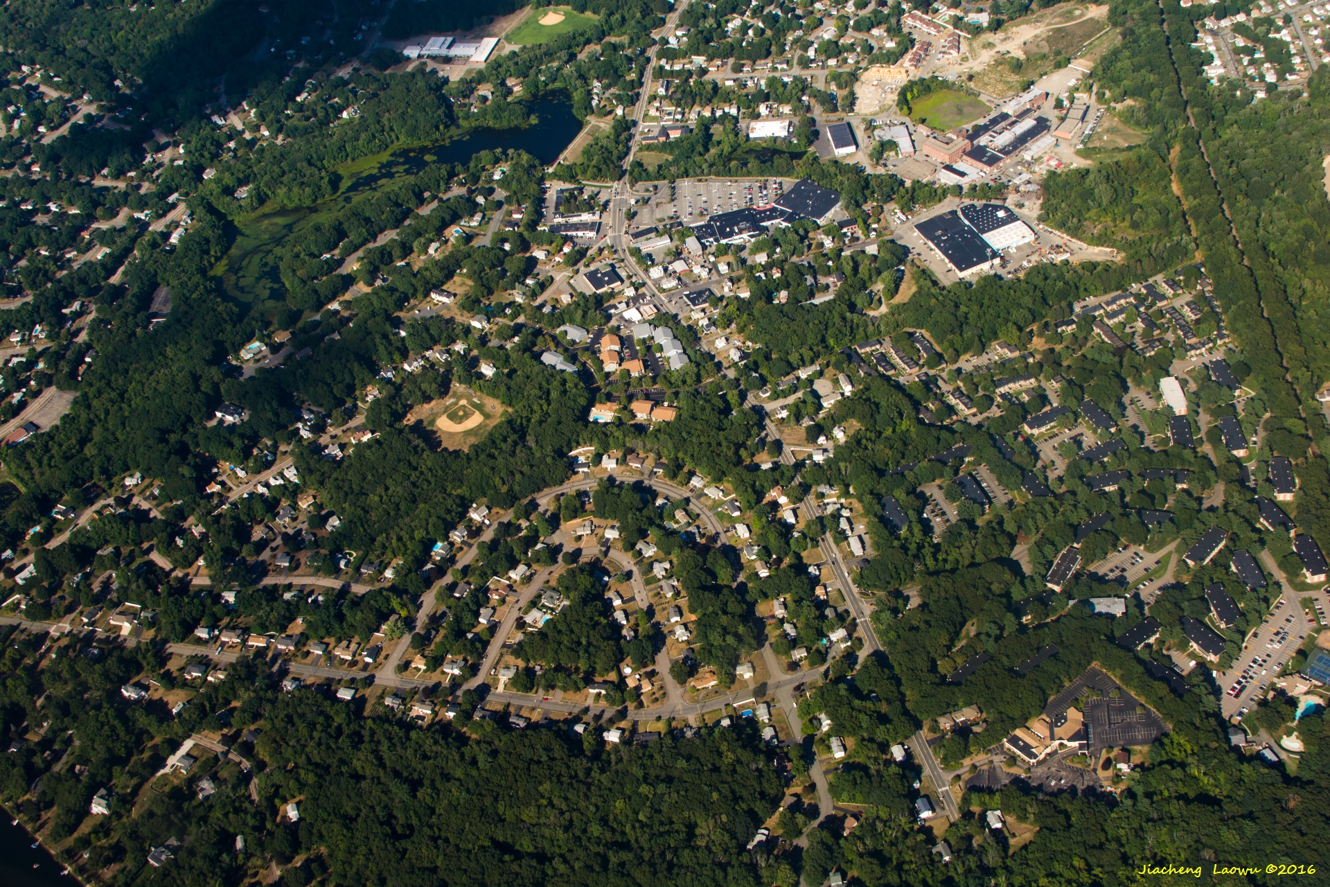
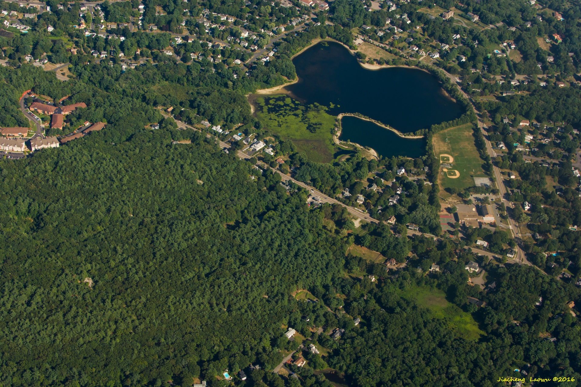
P34 Ellis pond to the top-left part, the baseball field slightly on the left of center is Wilson Street playground,
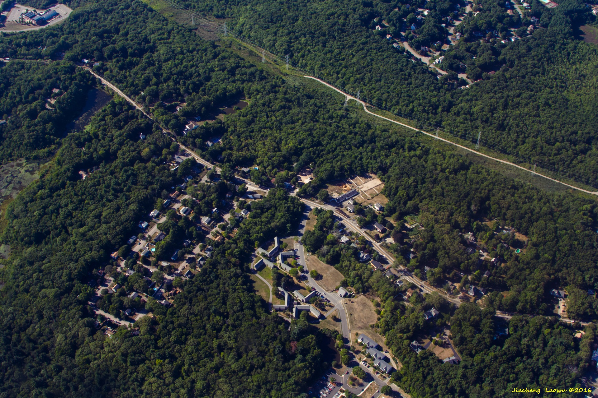
half dome shaped road near the bottom is Garden Pkwy, Norwood MA, North in front
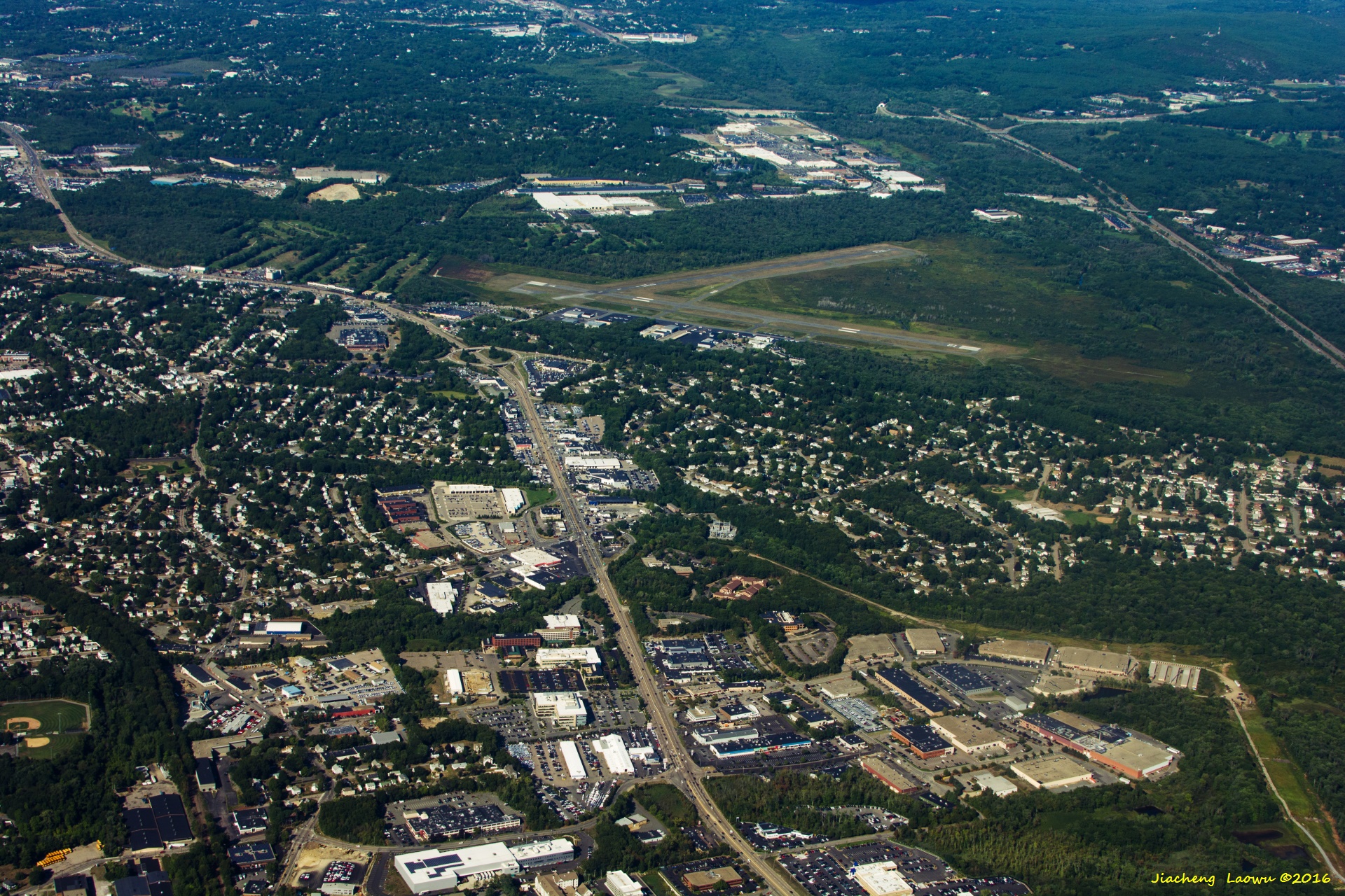
P35 Norwood Municipal airport, NE in front
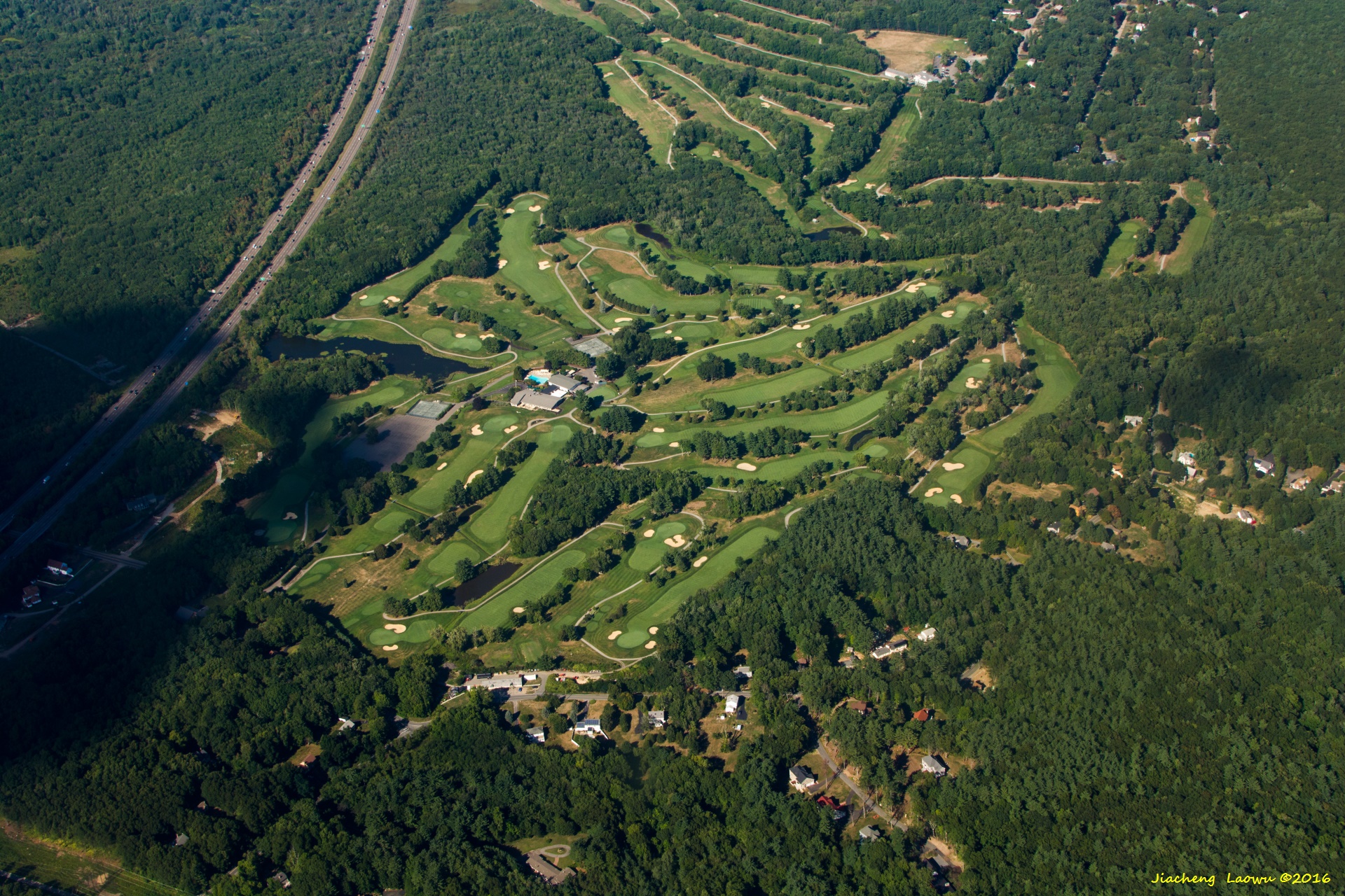
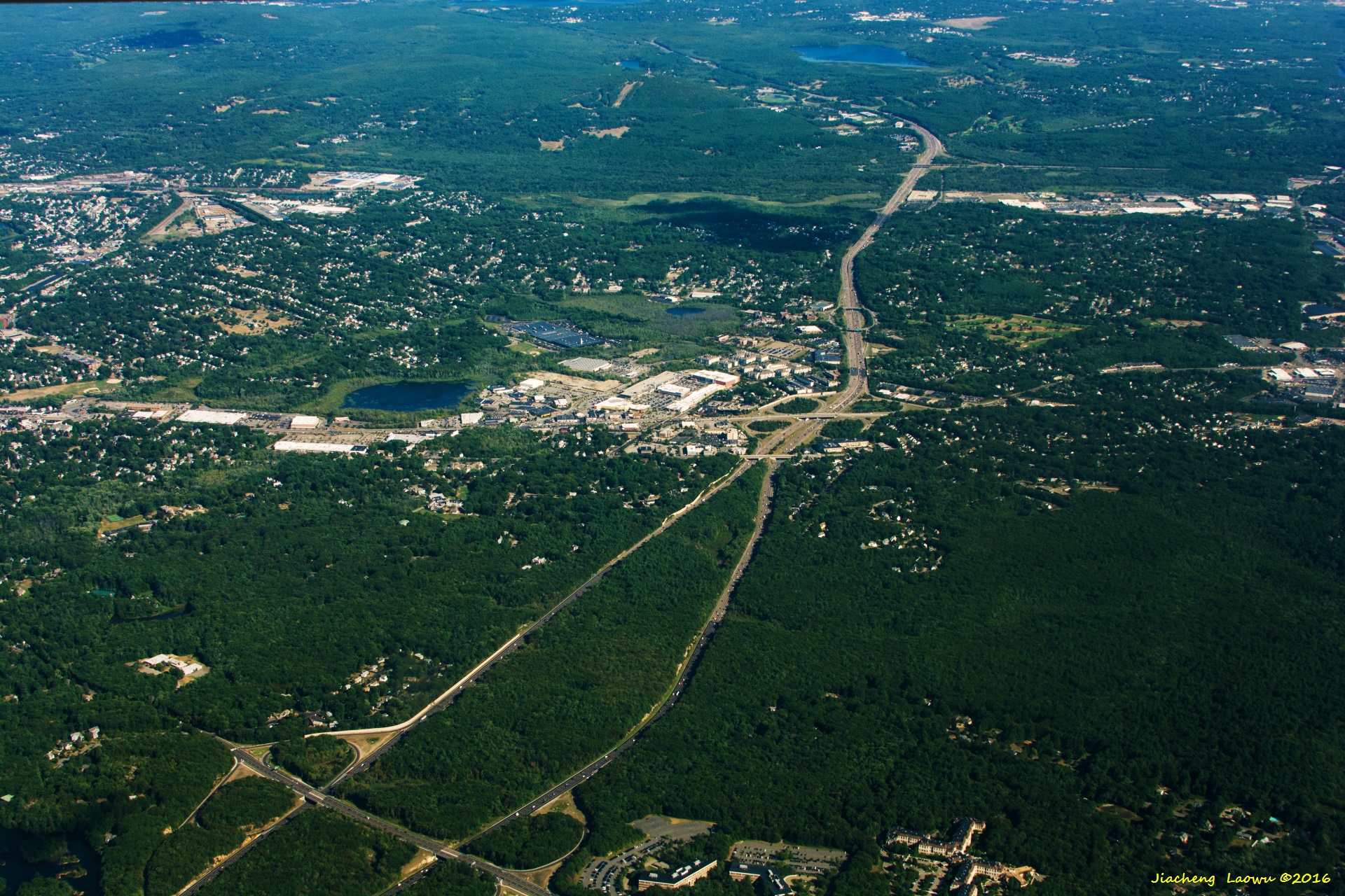
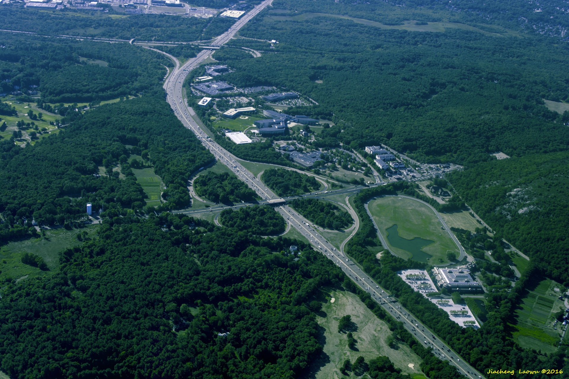
P36 The highway on the left is the I-95 between Exit 10 and Exit 11, the golf coarse near the middle is Spring Valley Country Club, Sharon MA, North in front
P37 Sawmill Pond slightly below the middle, the oblique road in the lower-right is Rt. 27, Sharon MA, North in front
P38 Main Street (Rt.27) acrosses Topleft and bottomright, Sharon MA, NW in front
P39 I95 across the top-right portion, the junction in topright area is the exit 11, Washington St (left-right direction) in the bottom, Canton MA, NW in front
P40 The near junction of I-93 (near top - bottom direction) and Rt. 138, the far junction of I-93 and I-95, NW in front
P41 The compound in lower middle is Pierce Middle School, the baseball field above is John L Kelly Field, Milton MA, West in front
P42 The inverted Y-shaped crossing is the junction of River Street(left) and Morton Street(right), William Walsh Playground in the lower right, Milton MA, West in front
P43 The left-right street near the bottom is Dorcester Street, the fields in upper part are Roberts playground, Harambee Park, Franklin Park from left to right, Boston MA, NW in front
P44 Dorcester Bay, Boston MA, West in front
(3) Boston area Details
The P26 covers the whole Boston and Cambridge area. To location some key points of interest, I have divided the photo to 9 areas, numbered from 1 to 9 from the left to right, and from top row to bottom row. So the top-left is region 1, the bottom-right is region 9.

P45 The detailed description of P26
Boston Logan Airport: region 1
Boston: region 2 and the bottom-right of region 1
MIT: The upper of region 5
Harvard Main Campus: Left of region 7
Harvard Kennedy School: mid-left of region 8
Harvard Business School: top-right of region 8
Harvard Soldiers Field Stadium: bottom right of region 8, and the left of region 9
Boston University: the area above the river in region 6 Castle Island: midle of region 2
JFK Library: mid-right of region 3
Prudential Tower: bottom-left corner of region 3
John Hancock Tower: bottom-right corner of region 2
Boston Common: near the middle of the bottom of region 2