Iceland Travel 2019 (6) - A day trip to Laki Crater
Changde Wu 2019-07-28
(Part One) About Laki Crater
The following paragraphs are about Laki Crater, cited from Wikipedia without modification.
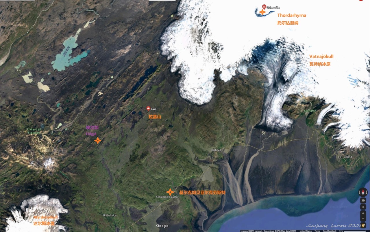
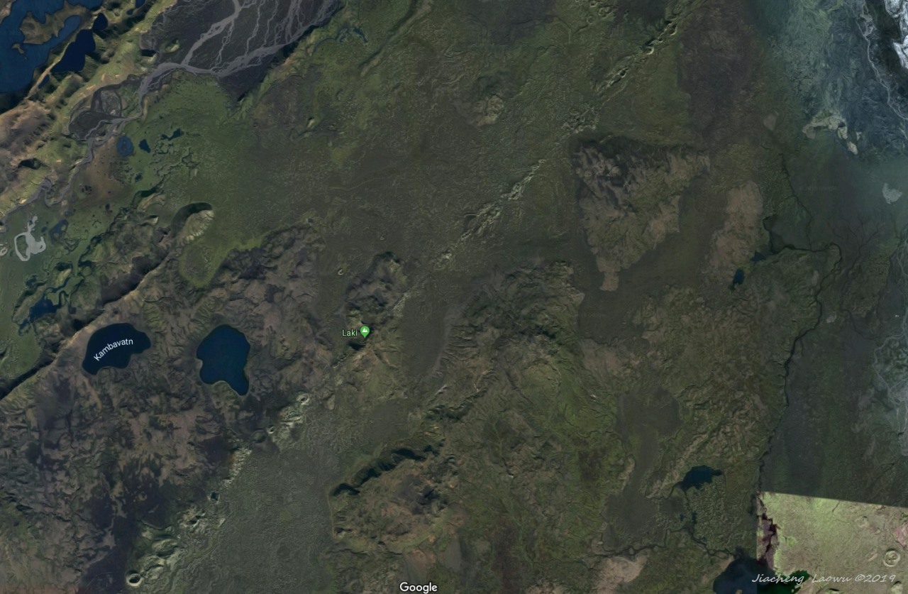
Laki or Lakagígar (Craters of Laki) is a volcanic fissure in the south of Iceland, not far from the volcanic fissure of Eldgjá and the small village of Kirkjubæjarklaustur. The fissure is properly referred to as Lakagígar, while Laki is a mountain that the fissure bisects. Lakagígar is part of a volcanic system centered on the volcano Grímsvötn and including the volcano Thordarhyrna.[1][2][3] It lies between the glaciers of Mýrdalsjökull and Vatnajökull, in an area of fissures that run in a southwest to northeast direction.
The system erupted violently over an eight-month period between June 1783 and February 1784 from the Laki fissure and the adjoining volcano Grímsvötn, pouring out an estimated 42 billion tons or 14 km3 (3.4 cu mi) of basalt lava and clouds of poisonous hydrofluoric acid and sulfur dioxide compounds that contaminated the soil, leading to the death of over 50% of Iceland's livestock population, and the destruction of the vast majority of all crops. This led to a famine which then killed approximately 25% of the island's human population.[4] The lava flows also destroyed 20 villages.
The Laki eruption and its aftermath caused a drop in global temperatures, as 120 million tons of sulfur dioxide was spewed into the Northern Hemisphere. This caused crop failures in Europe and may have caused droughts in North Africa and India.
On 8 June 1783, a 25 km (15.5 mi) long fissure with 130 craters opened with phreatomagmatic explosions because of the groundwater interacting with the rising basalt magma. Over a few days the eruptions became less explosive, Strombolian, and later Hawaiian in character, with high rates of lava effusion. This event is rated as 6 on the Volcanic Explosivity Index,[5] but the eight-month emission of sulfuric aerosols resulted in one of the most important climatic and socially repercussive events of the last millennium.[6][7]
The eruption, also known as the Skaftáreldar ("Skaftá fires") or Síðueldur produced an estimated 14 km3 (3.4 cu mi) of basalt lava, and the total volume of tephra emitted was 0.91 km3 (0.2 cu mi).[8] Lava fountains were estimated to have reached heights of 800 to 1,400 m (2,600 to 4,600 ft). The gases were carried by the convective eruption column to altitudes of about 15 km (10 mi).[9]
The eruption continued until 7 February 1784, but most of the lava was ejected in the first five months. One study states that the event "occurred as ten pulses of activity, each starting with a short-lived explosive phase followed by a long-lived period of fire-fountaining".[10] Grímsvötn volcano, from which the Laki fissure extends, was also erupting at the time, from 1783 until 1785. The outpouring of gases, including an estimated 8 million tons of hydrogen fluoride and an estimated 120 million tons of sulfur dioxide, gave rise to what has since become known as the "Laki haze" across Europe.[9]
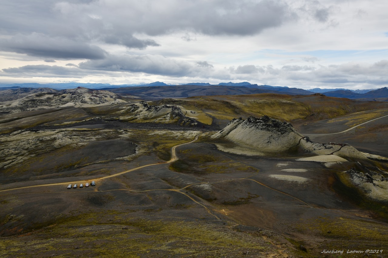
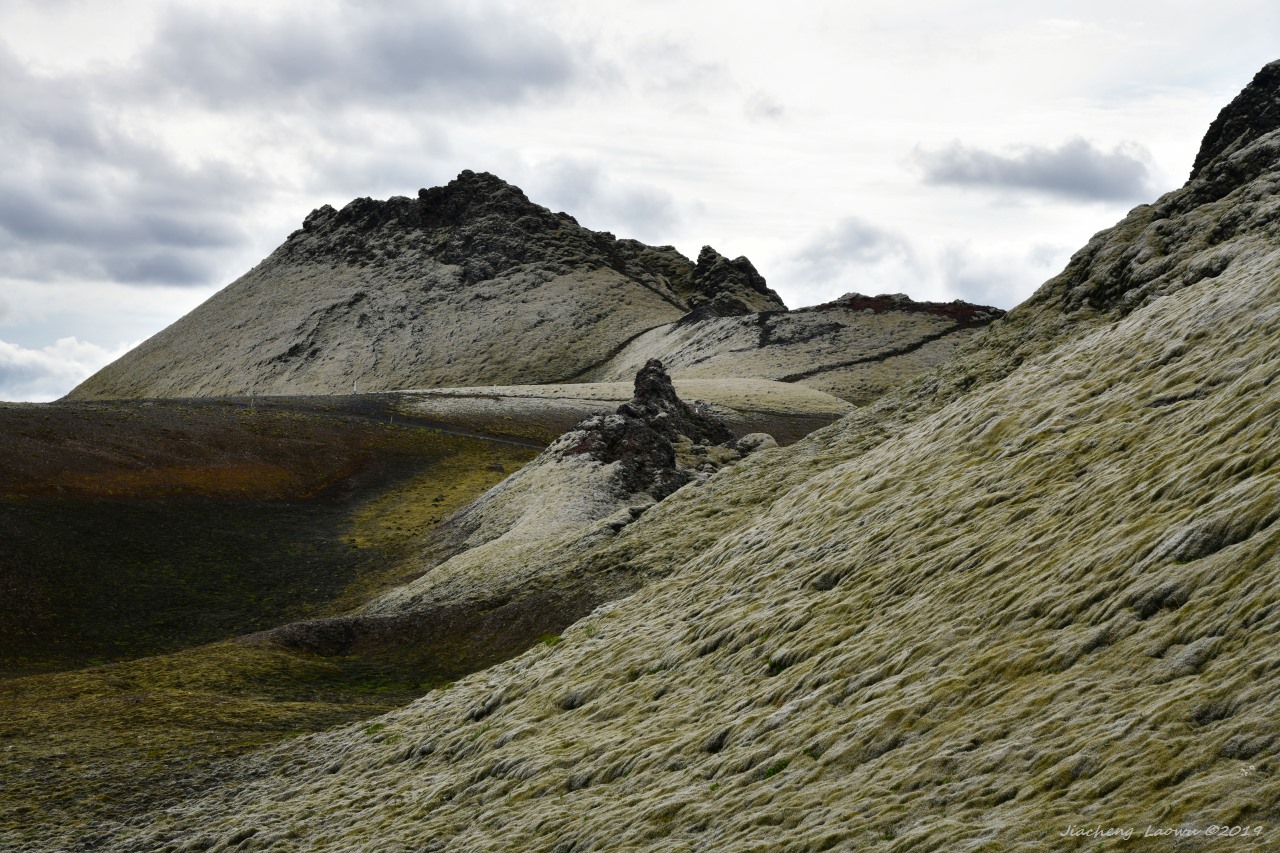
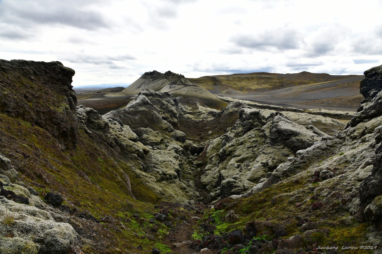
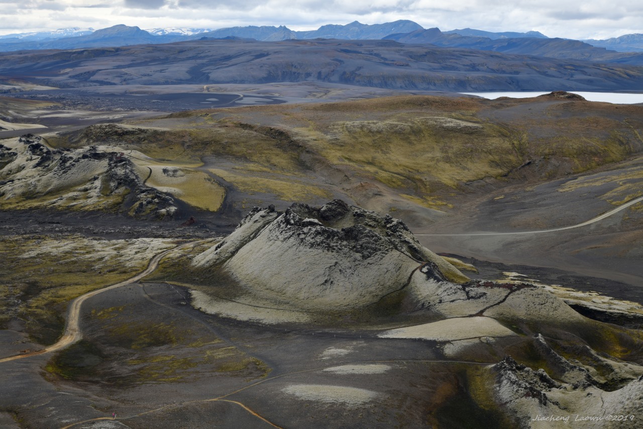
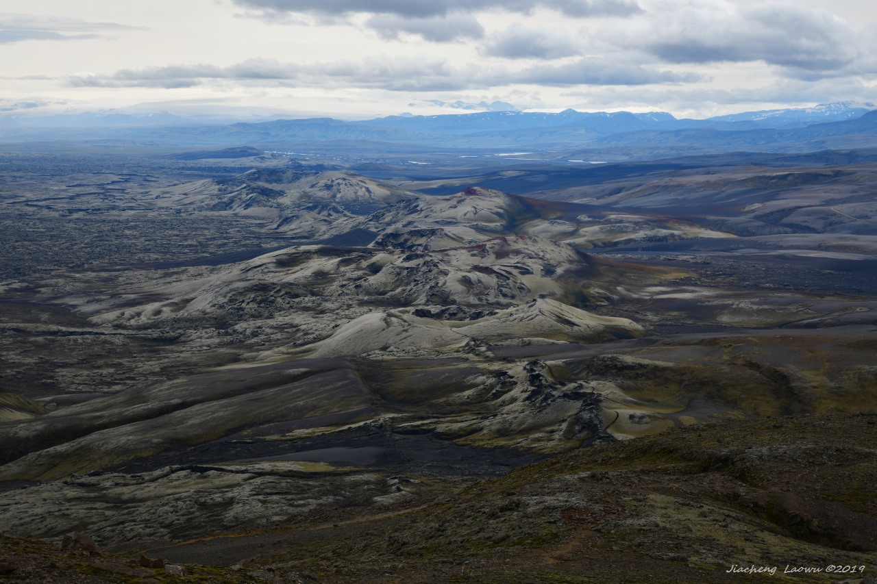
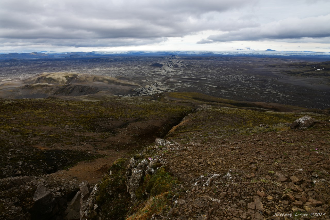
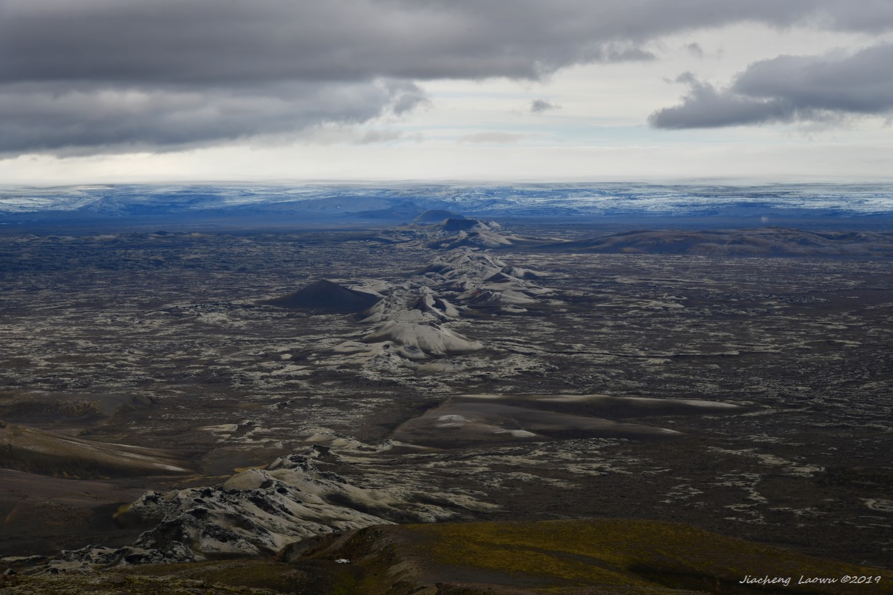
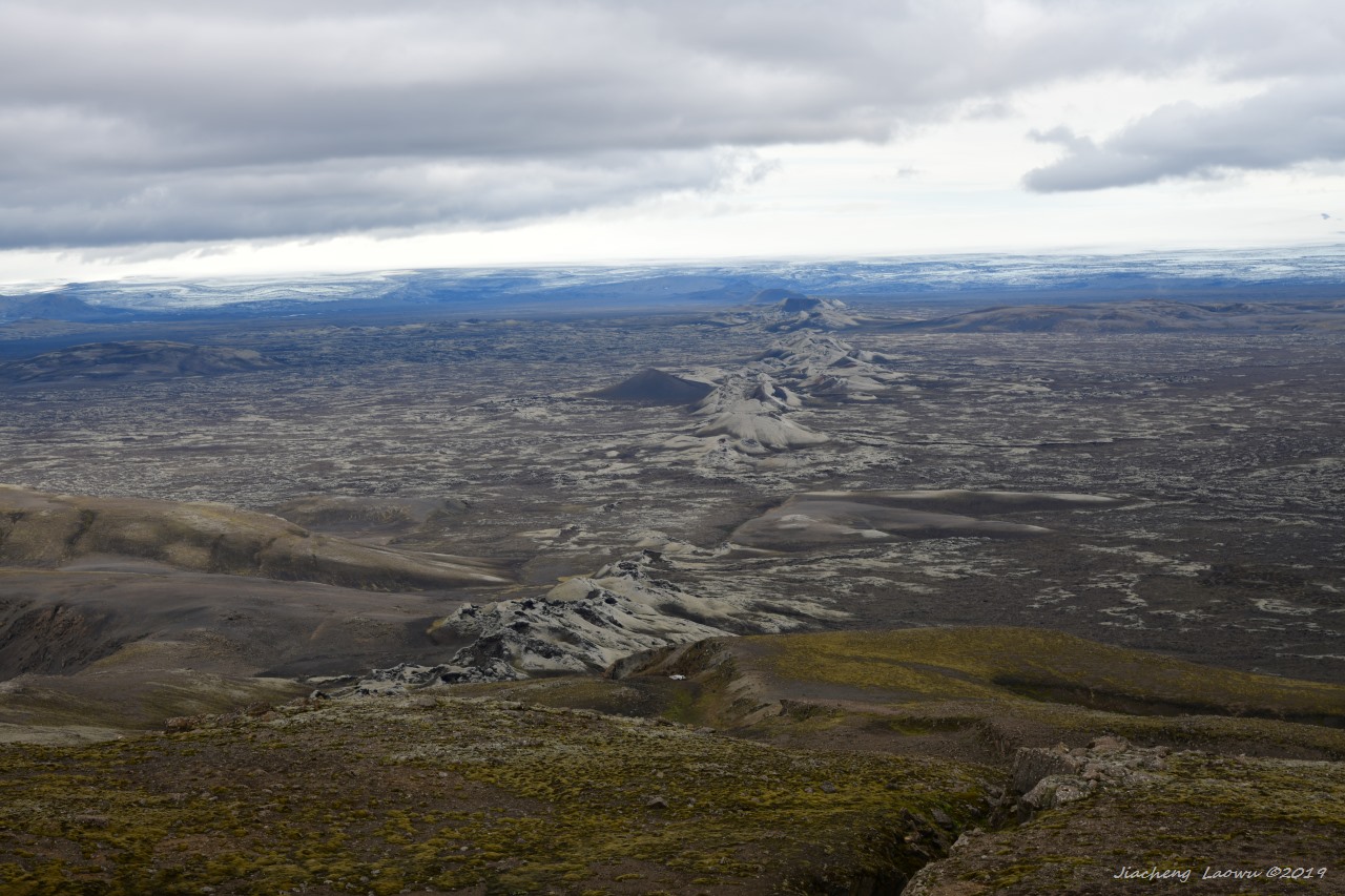
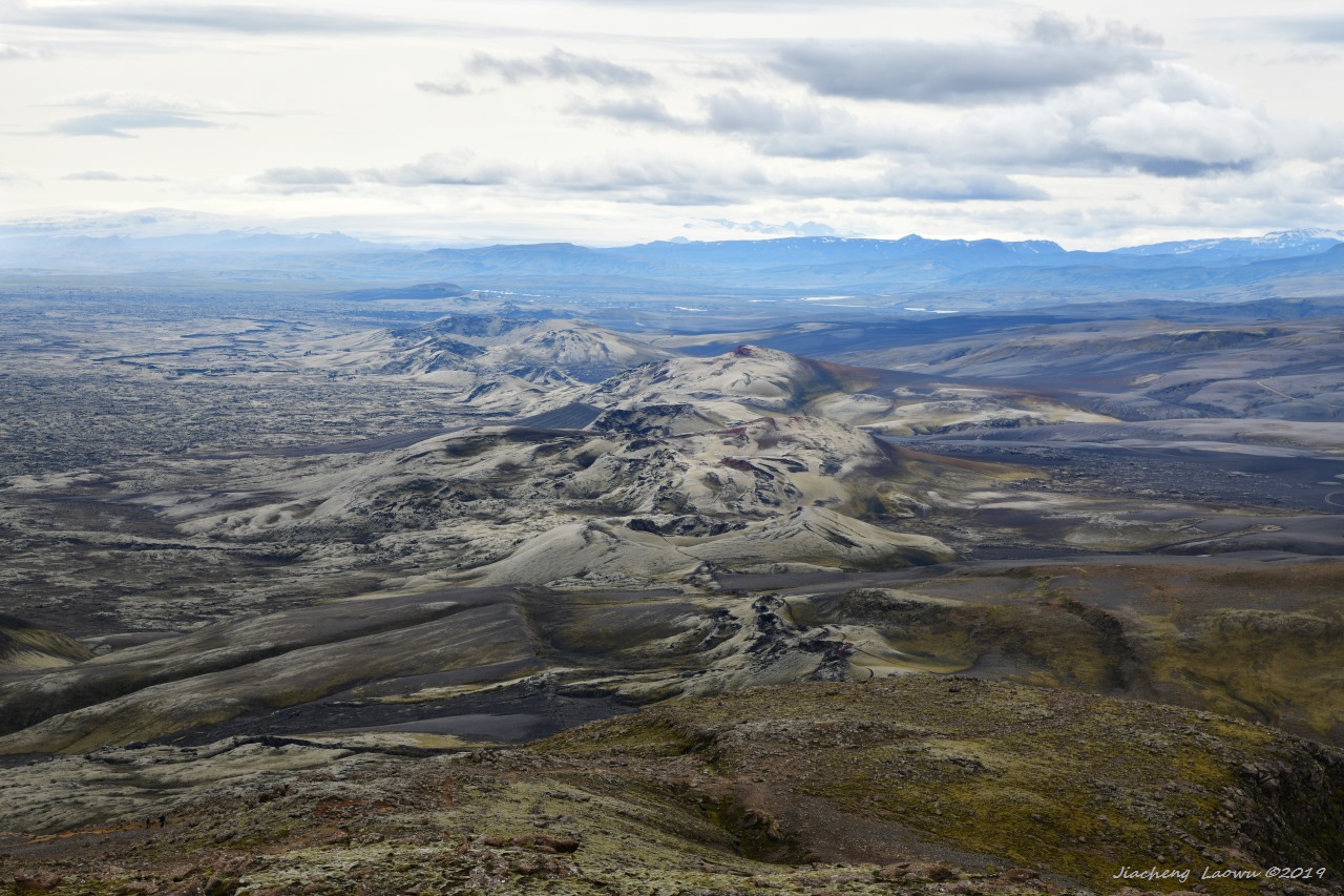
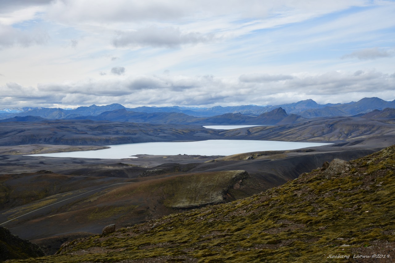
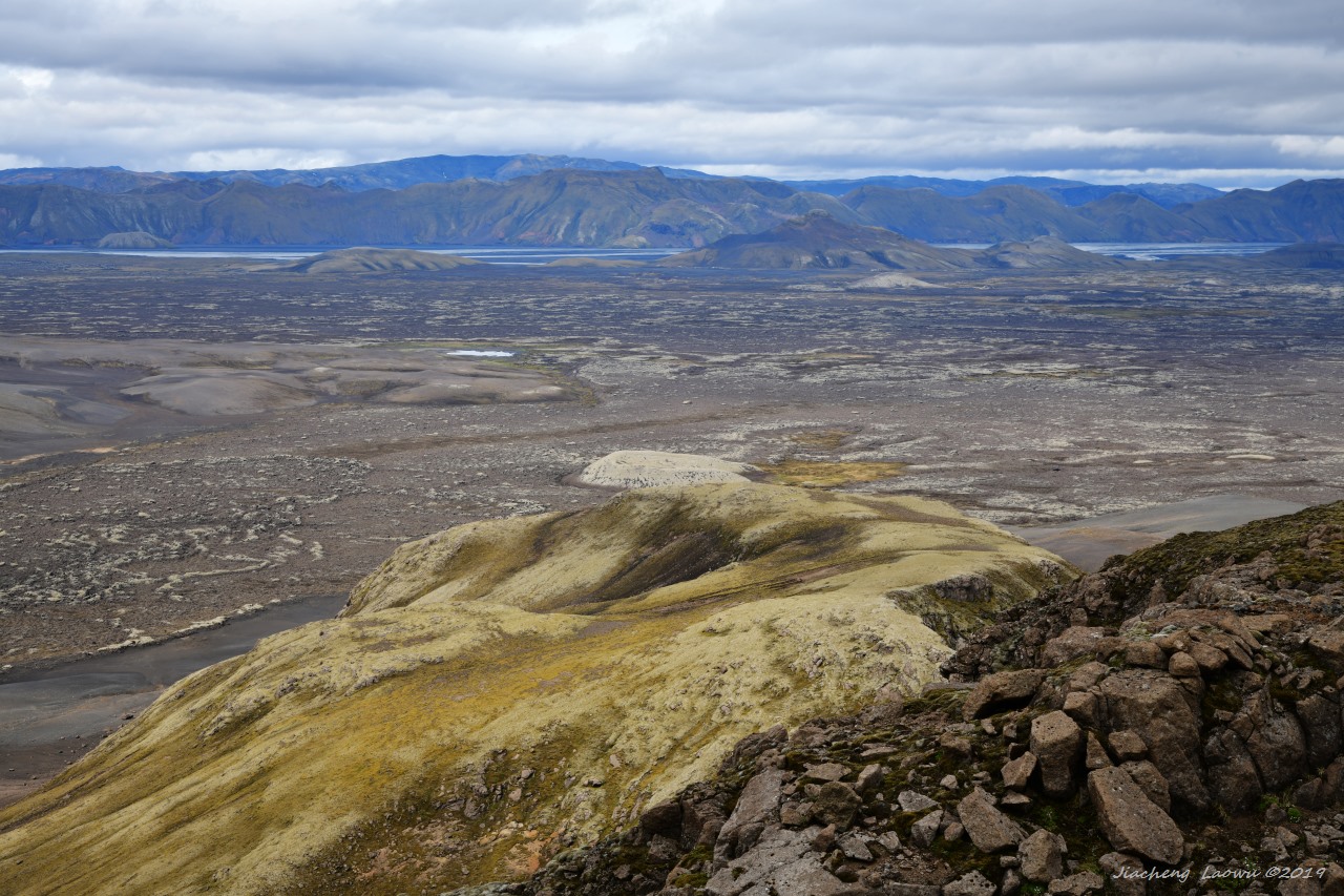
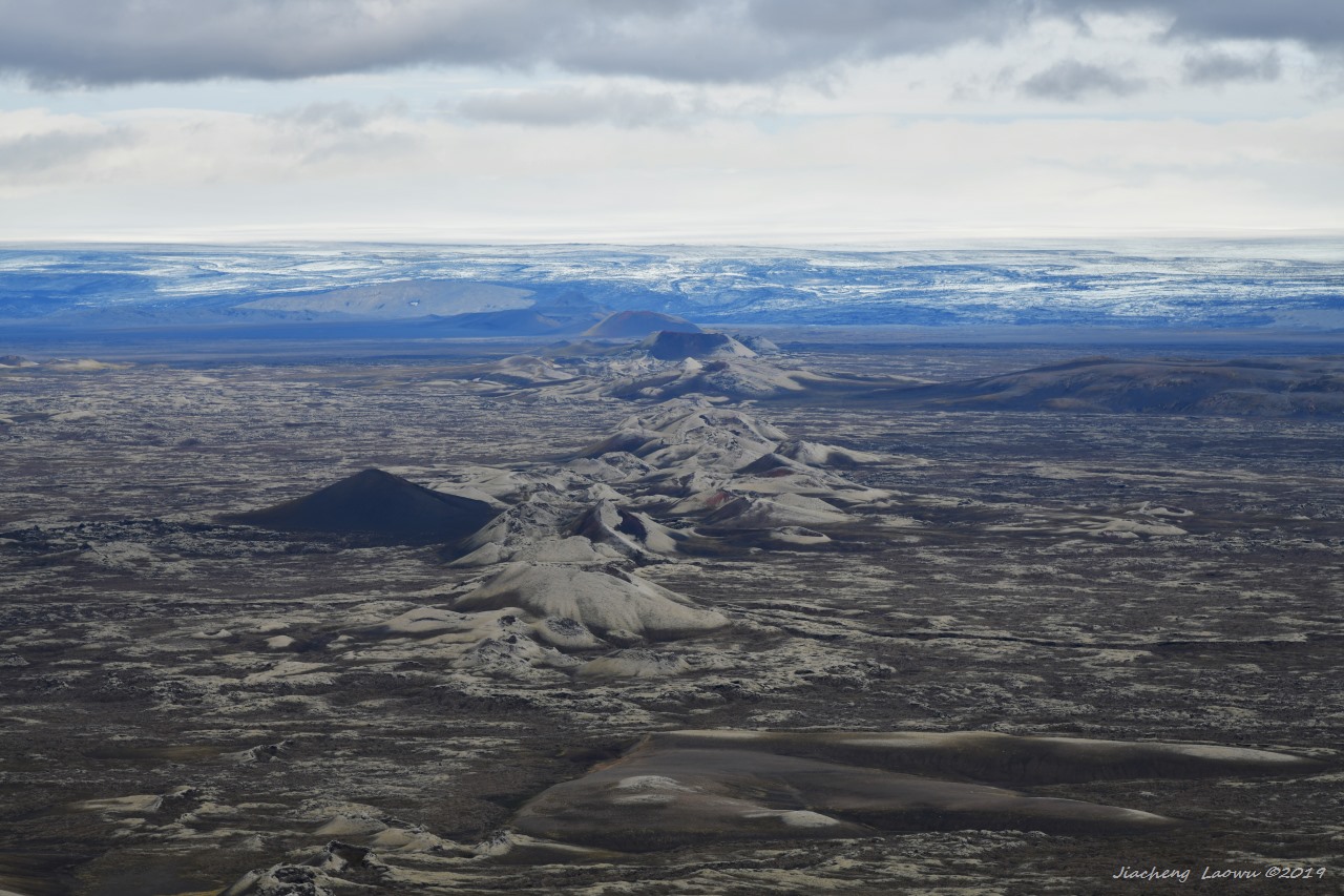
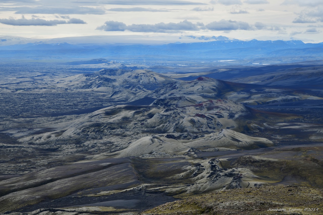
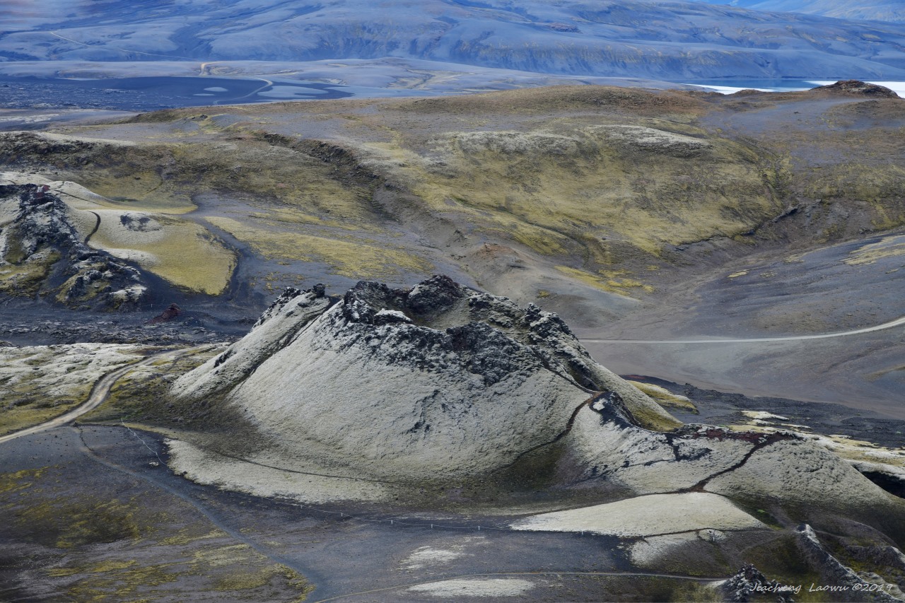
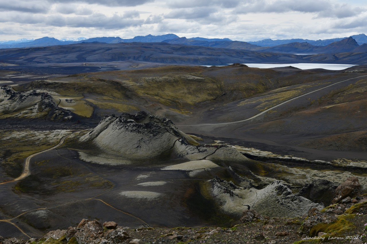
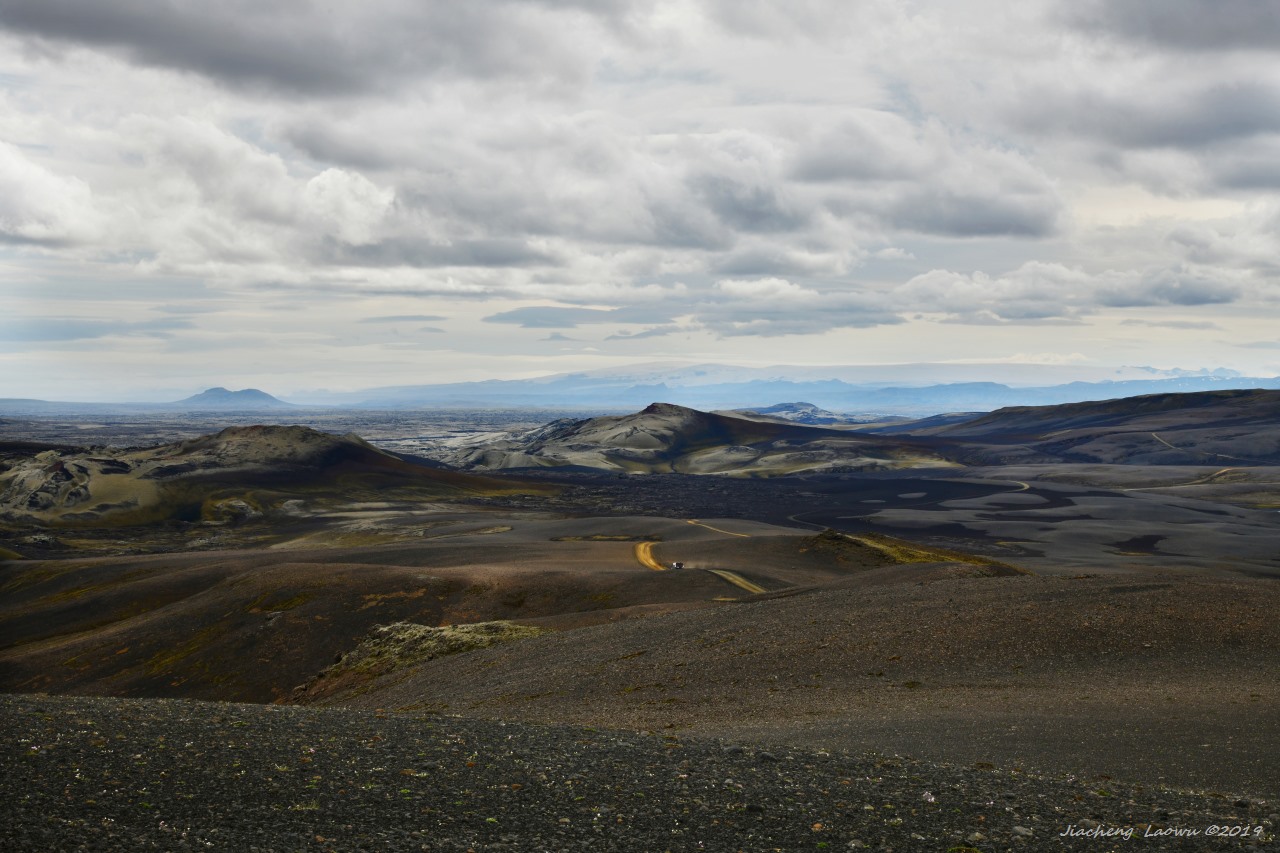
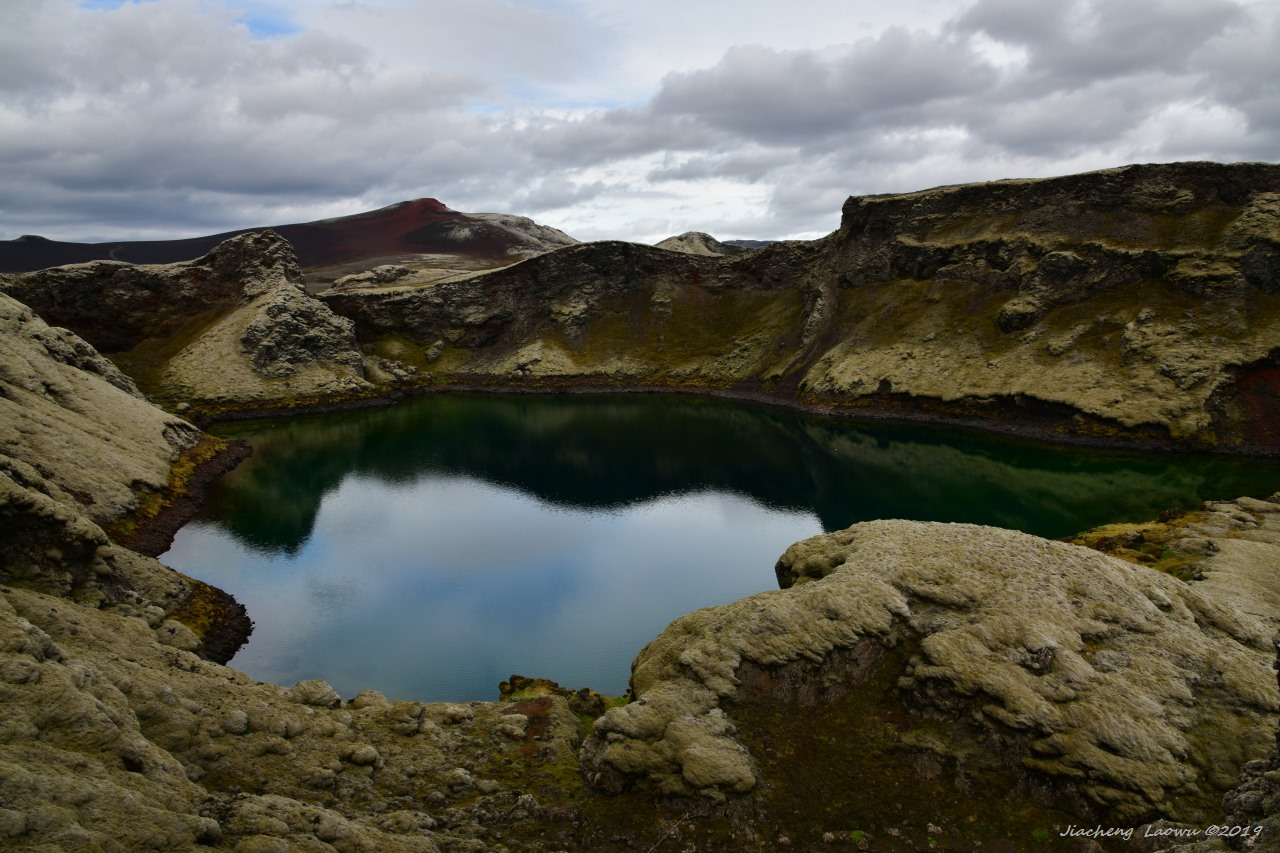
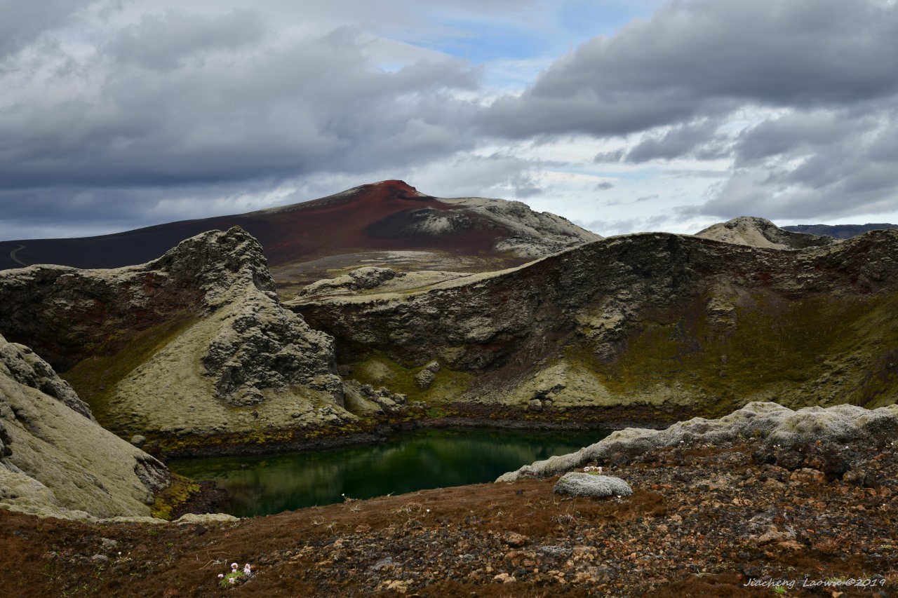
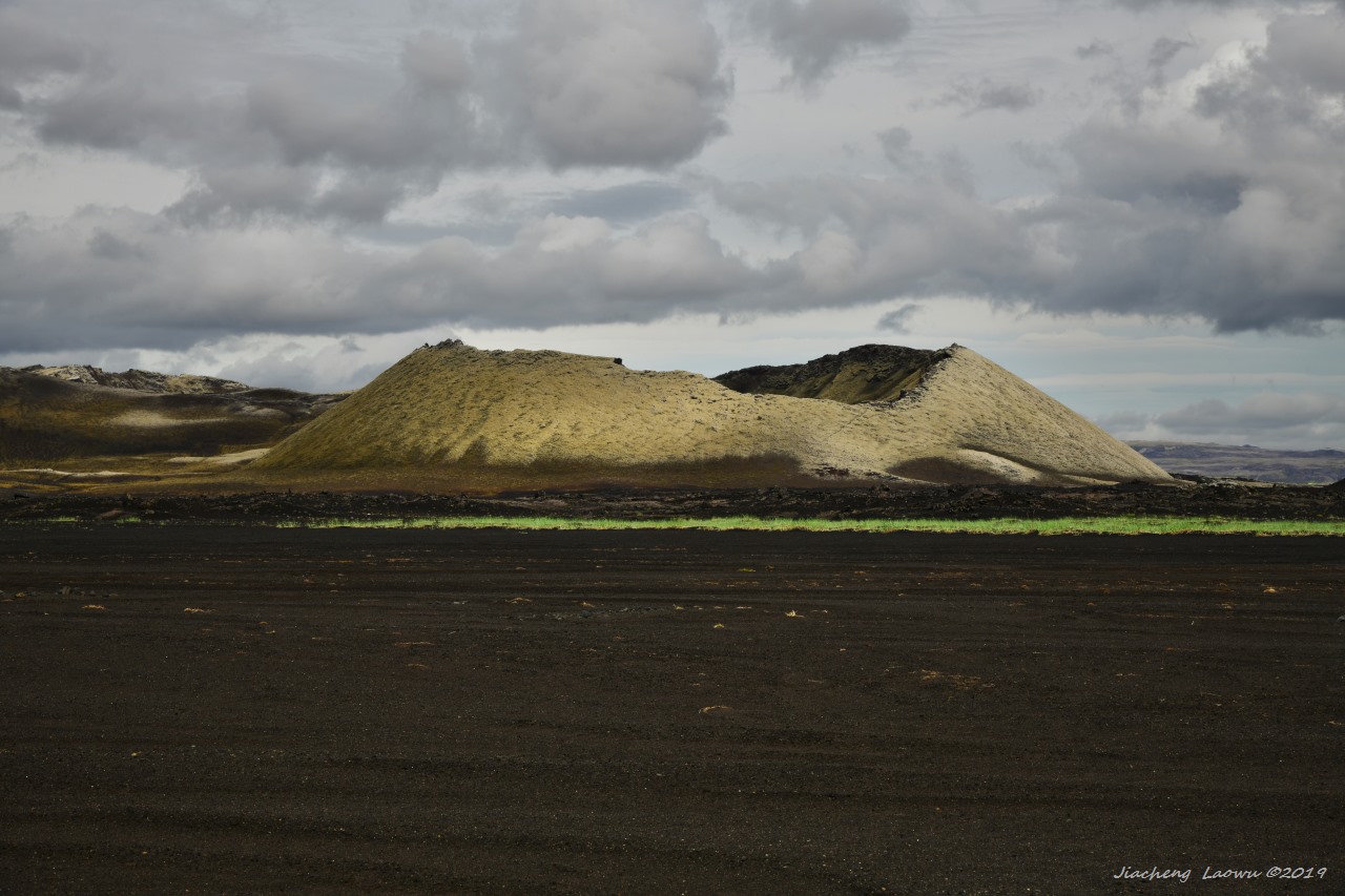
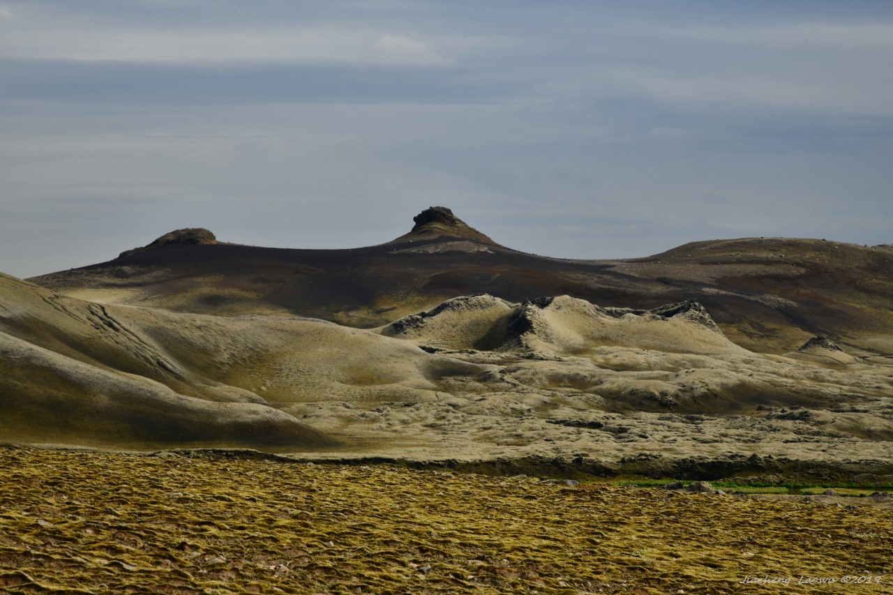
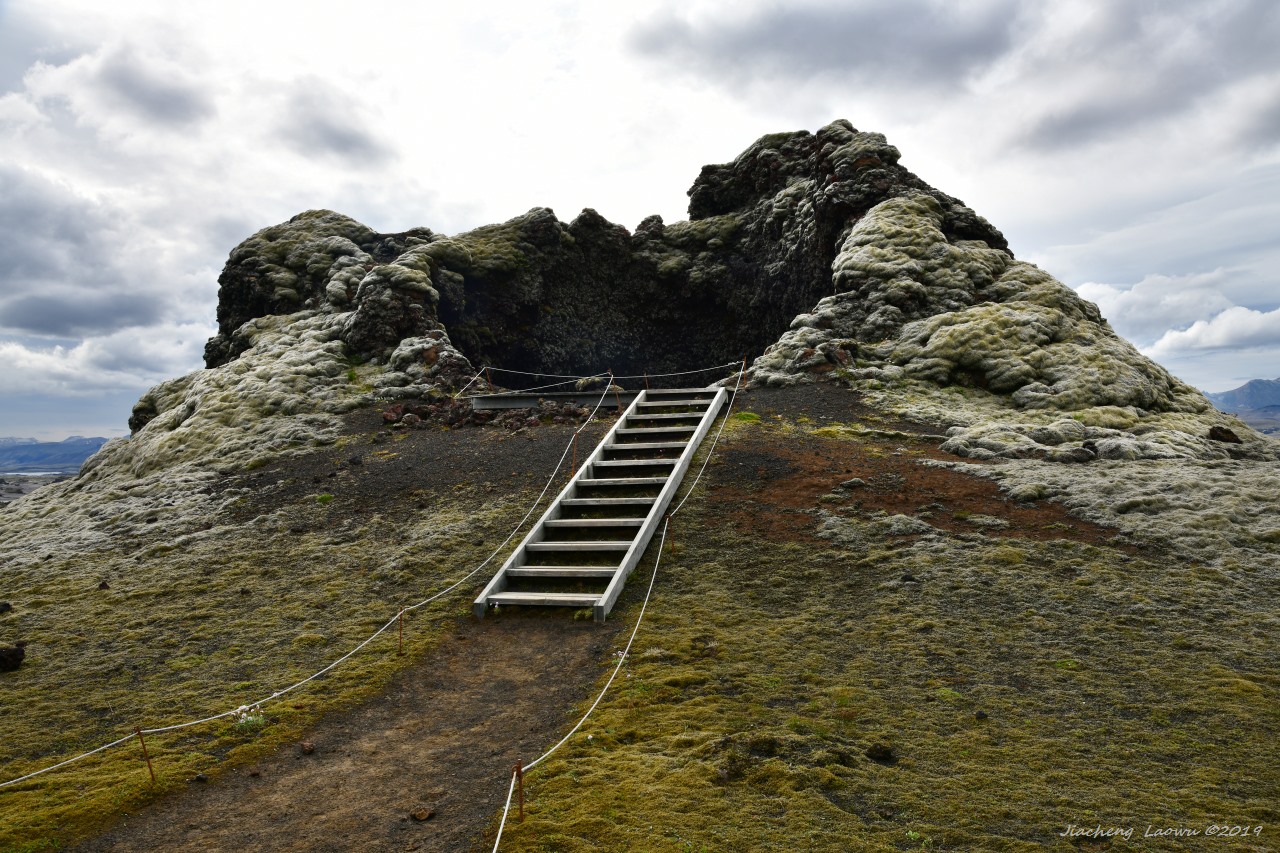
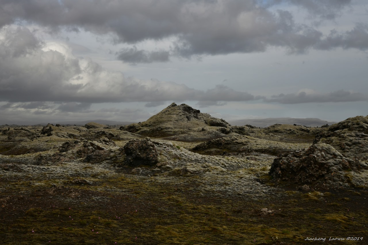
(Part Two) A day tour of Laki Craters